Bormio Ski Map: Read the Piste Map, Lifts and Sectors
Use the Bormio ski map to plan by lift access point: the town cable car, the Bormio 2000 hub, the 3000 m terrain and the linked lift-pass sectors.
On this page
Most skiers open a piste map, find the longest run and stop there. In Bormio that approach misses the point, because the map is organised around access: a town cable car, a mid-mountain hub at Bormio 2000, a high cable car to Cima Bianca and a separate chair up to the 3000 m terrain. Read it that way and your day plans itself around where you can start and finish, not around a slope name you spotted halfway down.
The second thing the map tells you is which terrain belongs to which lift pass. Bormio's own sectors sit within a wider pass that reaches other Valtellina areas, and Bormio Ski publishes lift status separately for Bormio and for the Cima Piazzi-San Colombano group. Knowing which block on the map belongs to which pass is the difference between a coherent day and a long transfer.
Start With the Map, Not the Marketing
Bormio's operator counts 30 slopes (10 blue, 13 red, 7 black), 22 connecting skiwegs, 12 lifts, three beginner areas, a kids area called Playwood, the Jungle snowpark and a funslope within the area. Those counts matter less than their distribution: the blue terrain is concentrated around the Bormio 2000 hub and the lower access points, while the blacks hang off the higher stations. Map literacy here means noticing which lift serves which cluster before you pick a run.
The headline figure Bormio Ski promotes is a descent of 8.5 km with 1,817 m of vertical drop from the top station down to town. Treat that as a full-mountain route rather than a single marked piste: it strings together several named runs and connecting sections shown in sequence on the map. If you want to ski it, trace the whole chain on the map first so you know where the connecting sections sit and which lift brings you back to the start.
Where to Open the Official Bormio Ski Map
Bormio Ski publishes its ski map and ski-area map as downloads from the lifts and slopes information page, alongside the live status panels. Open it there rather than relying on a screenshot from a forum or an old PDF saved on your phone, because that page is the same place you return to for lift and piste status. From that page you also get the full list of lift installations with their top and bottom altitudes.
Third-party sites host piste maps of the wider Bormio and Santa Caterina area and split them by component: one map for Bormio, one for Santa Caterina Valfurva and one for Valdidentro-Valdisotto. These are useful for seeing how the linked areas sit relative to each other in the Valtellina, but they are not Bormio Ski's status tool and not Bormio Ski's own drawing. Use the Bormio Ski page for Bormio itself and treat the wider maps as orientation only.
What the Bormio Lift Pass Covers Across the Map
The Bormio lift pass extends beyond the Bormio sectors to Cima Piazzi-San Colombano and Santa Caterina, which together come to roughly 94 km of piste and 23 lifts according to Snowtrex. That is nearly double the 50 km Bormio Ski counts inside Bormio alone. If you are in resort for a week, the pass structure is the argument for planning at least one day away from the home sectors; if you are there for two days, it is the argument for staying put and learning the map you have.
Terrain character differs across those components, and the map hints at it through the difficulty colouring. Cima Piazzi-San Colombano leans towards intermediate and easy pistes, while Santa Caterina is described as predominantly red and black descents. So the pass is not simply more of the same: it is a change of texture, and choosing which day to spend where depends on whether your group wants mileage or pitch.
The Lift Chain from Bormio Town to Cima Bianca
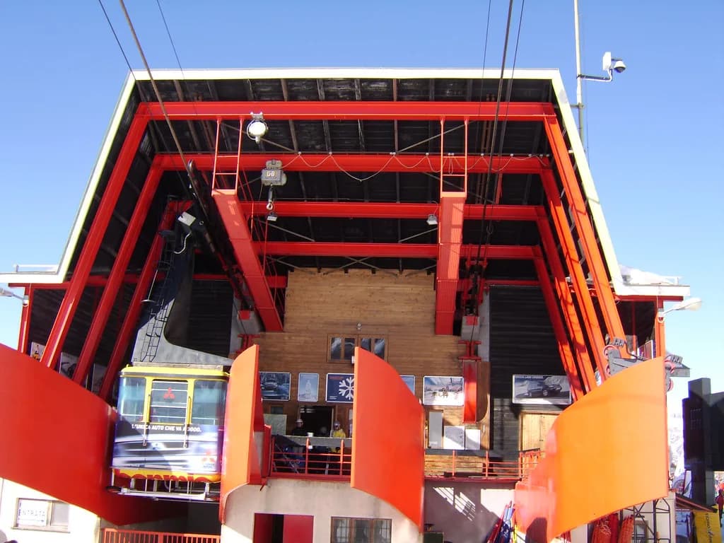
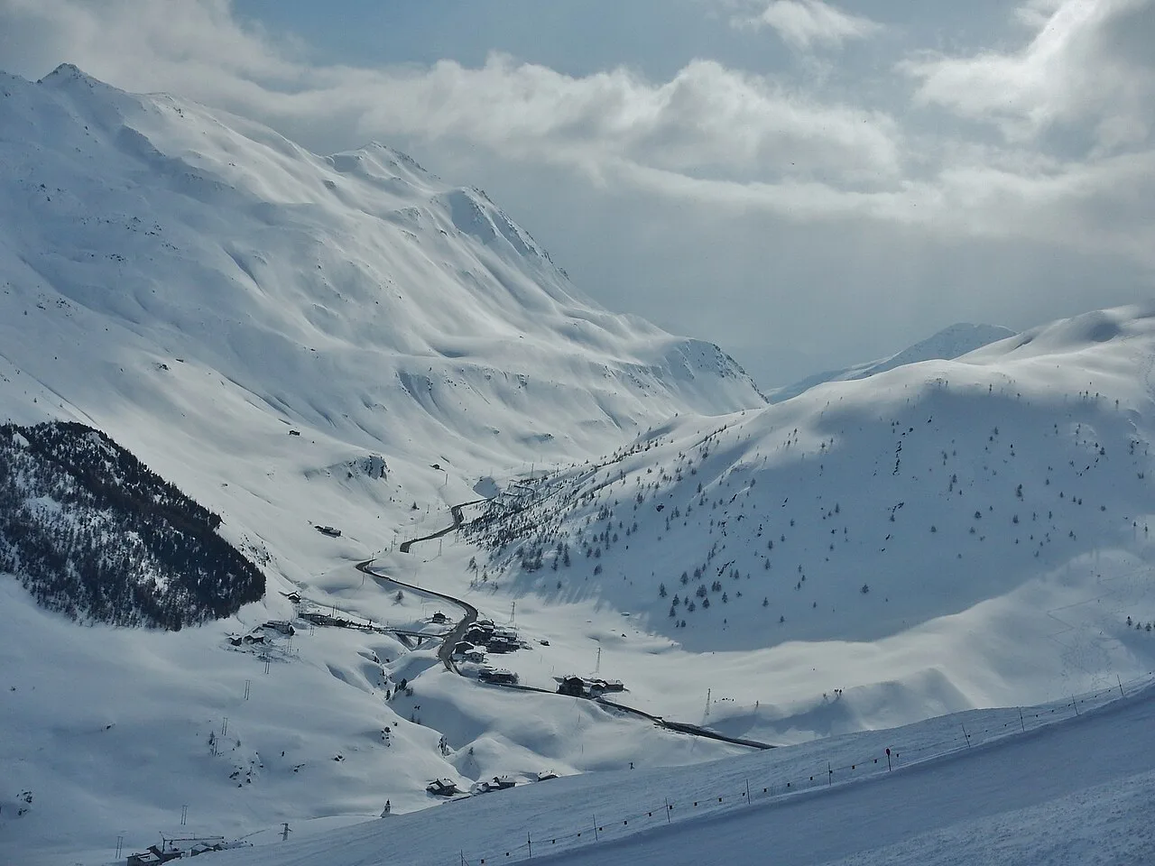
Everything in Bormio starts with the town cable car, which climbs from Bormio at 1,200 m to Bormio 2000 at 1,945 m. From that mid-station a cable car continues to Cima Bianca at 3,017 m, the highest point in the area. Two lifts, one seamless chain: it is the reason a Bormio ski day can begin in the town centre and finish on high, open terrain without a bus or a car.
Bormio 2000 is the hub the map revolves around. Alongside the Cima Bianca cable car, a four-seat chair rises to Cimino at 2,630 m, a three-seat chair serves Pian dei Larici, and a cluster of short lifts and magic carpets covers the nursery ground between roughly 1,940 m and 2,030 m, including the Scoiattoli drags, Marmotta, Gipeto and the Jungle. That density of short lifts is what makes the hub workable for mixed-ability groups.
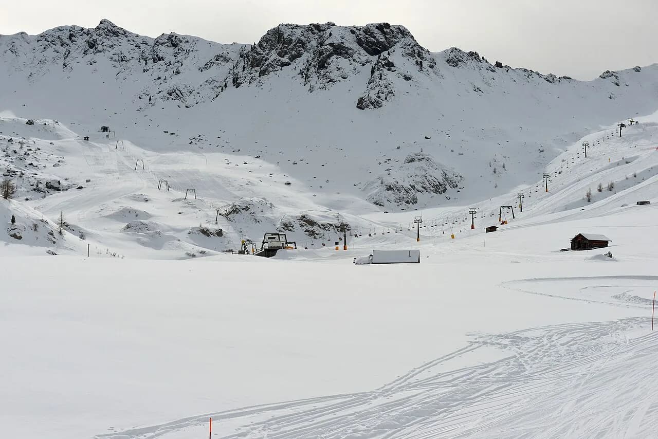
The Valbella-3000 four-seat chair is a separate strand of the map, running from 2,532 m to 3,017 m and reaching the same altitude as Cima Bianca by a different line. It gives the upper mountain a second access route and spreads pressure away from the cable car, which matters at peak times. If the queue at the funivia looks long, the map already tells you where the alternative starts.
Sector by Sector on the Bormio Map
In the Bormio sector proper, difficulty is stacked by altitude. The long blues and reds sit between about 1,950 m and 2,650 m, the Stelvio World Cup descent starts near 2,255 m and drops towards the town, and the high reds and blacks such as Heaven 3000 and Muro Heaven 3000 run from just above 3,000 m. The map's vertical axis is effectively a difficulty gradient, so you can choose a sector by the kind of skiing you want rather than by slope name.
Below the town cable car sits the lowest terrain, where the Lepre Bianca carpet runs at around 1,600 m and the Ciuk-Laghetti four-seat chair climbs from 1,633 m to 1,954 m. This is the part of the map that often gets overlooked, and it is the place to be on days when the upper mountain is wind-affected or the visibility closes in. Keeping a low-altitude fallback in mind is basic map reading, not pessimism.
The Cima Piazzi-San Colombano group appears as its own block on Bormio Ski's status page, with ten installations including the Isolaccia-Pian dela Mota cable car from 1,342 m to 1,995 m and the Le Motte and Forte Tade chairs above it. Smaller drags such as Monte Masucco and Palancana extend the upper reaches past 2,350 m. Because it is listed separately, its opening pattern can differ from Bormio's on any given day.
Santa Caterina Valfurva and Valdidentro-Valdisotto appear on the wider area maps rather than in Bormio Ski's Bormio status tables. Their exact relationship to the Bormio map is described differently depending on the source, so read the legend and the pass information on whichever map you open before treating a lift as included. The safest approach is to plan Santa Caterina as its own day with its own access point rather than as an extension of the Bormio circuit.
Using the Map With Live Lift and Piste Status
Bormio Ski's lifts and slopes page is a live tool, not a brochure. It records each installation with its type, service hours and top and bottom altitudes, and it also lists every piste with its difficulty, length, gradient and vertical drop, marked open or closed. Out of season that page can show the whole area closed with 0 of 50 km available, which is a seasonal snapshot rather than a prediction for your trip.
Reading that page well means matching the lift name to the map before you travel up. If the Cima Bianca cable car is closed but the Valbella-3000 chair is running, the high terrain may still be reachable by the other route. If both are down, the 3000 m sector is effectively off the table regardless of what the snow report says. Check it on the morning you ski, with the map open beside it.
The published service hours give a rough shape to the day: the town cable car and the main Bormio 2000 lifts typically start in the 08:30 to 08:45 window, while the Valbella-3000 chair opens later at 09:00 and the Jungle drag at 09:30. Those times are indicative and can change with the season, so confirm them on the day rather than treating them as fixed appointments.
Planning a Map-Literate Bormio Ski Day
A sensible first day follows the lift chain rather than a wish list of runs. Start at Bormio 2000, use the Cimino and Pian dei Larici chairs to warm up on the mid-mountain blues and reds, then take the Cima Bianca cable car once you know how the legs feel. Finish with the long descent back to town so you end at your accommodation rather than at a car park. No slope-by-slope itinerary survives contact with a slow lift queue, so keep the order flexible and let the status page set it.
Strong skiers can build a harder day around the upper map: Valbella-3000 first thing, then the high reds and blacks off the 3,000 m terrain, and the Stelvio descent later when the surface has softened. Mixed groups should split at Bormio 2000, where the nursery lifts sit within sight of the main hub, and reconvene at a named meeting point on the map rather than hoping to find each other on a piste.
If you are comparing Bormio with other areas, the exercise is the same: read the access structure before the slope names. A resort's map tells you how quickly you can move between sectors, and that often matters more than the total kilometre count. The cross-border layout in the La Thuile piste map guide, where the map shows how the Italian and French sides meet, is a useful contrast, and so is the Canazei ski map where the Dolomites sectors link through a single lift circuit.
Get the Map Before You Book
Treat the Bormio piste map as the document that decides your itinerary. It shows where the town cable car, the Bormio 2000 hub, the Cima Bianca cable car and the Valbella-3000 chair connect, and it separates the home sectors from the linked Cima Piazzi-San Colombano component that appears in Bormio Ski's own status tables.
Download it from Bormio Ski, keep the live status page open while you plan, and check season dates and prices on the official site before you commit. Bormio Ski has not published confirmed winter dates in a single consistent form, so the season calendar page is the place to resolve that before you book anything non-refundable.
Frequently Asked Questions
What does the Bormio ski map cover?
The Bormio map covers the home ski area: the town cable car to Bormio 2000, the cable car on to Cima Bianca at 3,017 m, the Valbella-3000 chair and the lower access lifts. It lists 30 slopes, 22 connecting skiwegs and 12 lifts within Bormio. The wider Valtellina area, including Cima Piazzi-San Colombano and Santa Caterina, appears in separate status tables and on third-party area maps.
Where can I open the official Bormio ski map?
The Bormio ski map and area map are published as downloads on the lifts and slopes information page, the same page that carries live lift and piste status. Open it there for the current version and the status tool in one place.
Does the Bormio lift pass include Santa Caterina and Cima Piazzi-San Colombano?
According to Snowtrex, the Bormio lift pass is valid in Cima Piazzi-San Colombano and Santa Caterina as well, covering roughly 94 km of piste and 23 lifts across the three areas. Check pass structure and any variation by season or duration before you buy, especially if you plan to ski away from Bormio for a day.
How do I check which Bormio lifts and pistes are open?
Use the lifts and slopes page, which lists each lift with its service hours and altitude range, and each piste with its difficulty, length and vertical drop, marked open or closed. Check it on the morning you ski. Outside the winter season the whole area shows as closed, which reflects the time of year rather than conditions on your dates.
What is the lift connection from Bormio town to Cima Bianca?
A cable car runs from Bormio at 1,200 m to Bormio 2000 at 1,945 m. From Bormio 2000 a second cable car continues to Cima Bianca at 3,017 m. It is a two-stage chain with no bus or road transfer in between, which makes it possible to start a ski day in the town centre.
Is there a separate map for the 3000 m sector at Bormio?
No separate map is needed. The upper terrain appears on the standard Bormio piste map, reached by the Cima Bianca cable car and by the Valbella-3000 four-seat chair, which climbs from 2,532 m to 3,017 m. Read both access lines on the same map so you know the alternative if one is queued or closed.
Sources
Useful notes for your next ski trip
Optional updates to our Alpine resort guides.
You might also like
Continue reading
More guides you'll find useful