La Thuile Ski Map: Reading the Espace San Bernardo Pistes
Use the La Thuile ski map to plan days across the Espace San Bernardo: sectors, lifts, the La Rosière link and the piste numbers worth knowing.
On this page
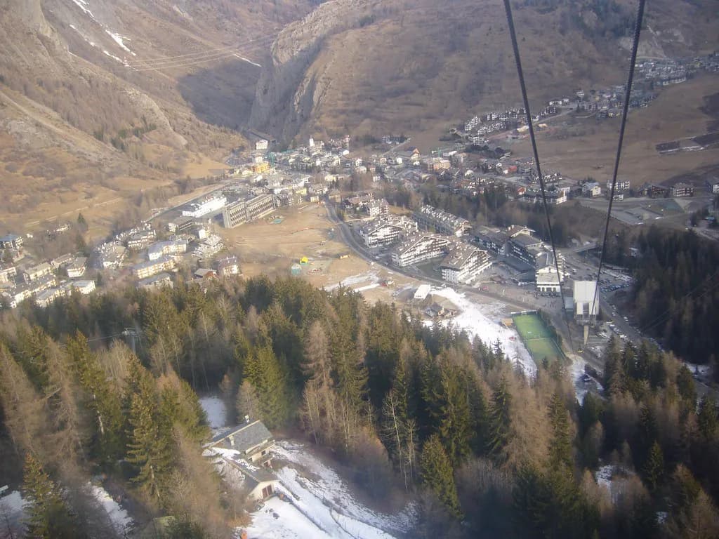
La Thuile sits at 1,441 m in the Aosta Valley, and its piste map is not a single-resort diagram. It covers the Italian lifts above the village plus the Espace San Bernardo, the linked domain shared with La Rosière in Savoie since 1984. Reading it in the right order saves you from skiing the same three runs all week.
The map is best used as a planning tool rather than a souvenir. It shows named sectors, numbered pistes and the lift types that connect them, so you can decide where to start, where to cross into France and how to get home before the last lift. This guide walks through what each part of the map means and how to pair it with live status before you go.
What the La Thuile Ski Map Actually Covers
The map covers two connected areas: the La Thuile lifts rising from the village to Les Suches and beyond, and the cross-border Espace San Bernardo shared with La Rosière. La Thuile's own tourism office describes the domain as 156 km of pistes, 83 runs and 37 lifts under a single international pass, split between the Aosta Valley and Savoie.
Funivie Piccolo San Bernardo has run the La Thuile side since 1948 and puts the domain at 300 hectares of surface with 1,600 m of vertical drop, served by 2 gondolas, 19 chairlifts, 11 drag lifts and 5 carpets. Those figures are the ones to hold in your head when a run on the map looks short: the vertical is spread across a big, linked mountain.
La Rosière's own site frames the joint area as a French-Italian domain in Savoie, with the Tarentaise resort facing south as its balcony. On the map, that means the French side sits across the ridge from the Italian lifts, and the two are joined by a high link rather than by a valley road. Read both halves together or you will underuse your pass.
The Big Numbers: 156 km, 83 Pistes, 37 Lifts and 1,600 m
The piste breakdown printed on the map is 33 easy, 36 medium and 14 difficult runs. That balance matters: almost 70 of the 83 pistes are blue or red, so the map's easy and intermediate ground is the bulk of the domain, not an afterthought. The 14 black runs are concentrated enough that strong skiers can find them without crossing the whole area.
Of the 37 lifts, the map shows 2 cable cars, 19 chairlifts, 11 drag lifts and 5 moving carpets, per the La Thuile tourism office. The map legend also separates high-speed chairs with and without bubbles, which tells you how quickly a sector drains on a cold or windy day. If a bubble chair and a plain chair run the same line, take the bubble in bad weather.
Beyond pistes, the map marks 4 ski-touring itineraries, 2 slalom pistes, 2 snowparks, 1 boarder cross, 2 fun cross courses, 1 Super Slope, 1 secured freeride zone, 1 snowkite zone and 2 children's play areas. Skiers who only read the runs miss these; families should note the play areas, and park rats should note the snowpark locations before committing to a sector.
Map Sectors Explained: Les Suches, Chaz Dura, Belvedere and Piccolo San Bernardo
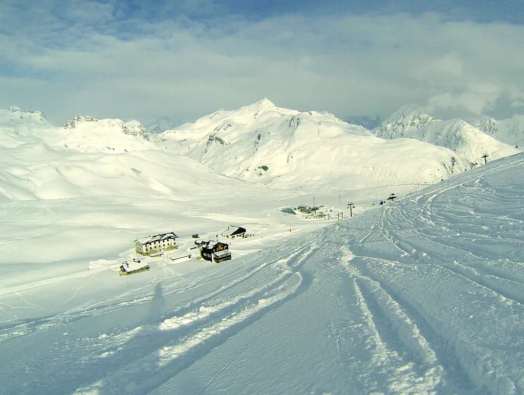
The linked map labels La Thuile and La Rosière as the two resort halves, with Les Suches and Les Eucherts as the main mid-mountain nodes, and insets for Chaz Dura, Mont Belvedere and Mont Valaisan. In practice, the Italian side is read in four bands. Les Suches is the first big step above the village, Chaz Dura is the upper sector reached by express chairs, Belvedere sits on the western flank, and Piccolo San Bernardo is the high crossing point towards France.
Lift names on the map help you decode those bands. Les Suches cable car climbs from about 1,466 m to 2,177 m, Bosco Express runs alongside it, and Chaz Dura Express tops out near 2,560 m. The Argillien Express and Fourclaz Express chairs serve the middle of the Italian side, while the Piccolo San Bernardo Express covers the high ground near the French border.
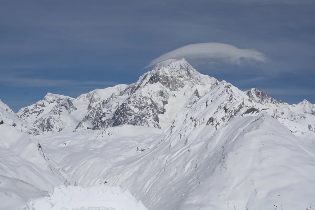
Belvedere is reached from around 2,410 m to 2,610 m on the Belvedere chair, and Mont Valaisan rises to 2,800 m at the top of the domain. That summit is a viewpoint as much as a skiing point, and it anchors the far end of the map. Plan at least one climb to it if the weather is clear, because the panorama is the reason the map's edge is worth crossing.
La Rosière's side is built around Les Eucherts and the main village, with its own lift network feeding the Italian link. The map's French half is smaller in piste count but sits higher on the sunny south side, which changes snow and visibility through the day. Treat the two halves as one circuit, not two separate holidays.
The Argillien and Arnouvaz Side, and How It Changes a Powder Day
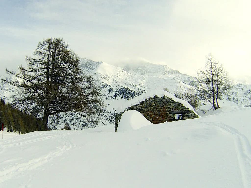
The Argillien and Arnouvaz chairs lift you into the quieter western part of the Italian mountain, with the Argillien Express climbing from about 1,997 m to 2,387 m and Arnouvaz from 1,935 m to 2,232 m. Because this side is served by its own express chairs rather than the main village cable car, it often clears later than Les Suches after a storm.
On a powder morning, the map's logic points you here before the main arteries fill. The sector has its own drags and chairs, so a family can lap it without committing to the top of the mountain, and advanced skiers can use it as a staging point before moving up to Chaz Dura. Check which of these lifts are running before you build a day around them.
The trade-off is return timing. If you spend the afternoon on this flank, you need to leave enough margin to get back to your base lift before closing, because the connection to the village is not instant from every chair on the map. Work out your last lift before lunch, not at 4pm.
The Cross-Border Link to La Rosière
The link is the single most important feature on the map and the one most often misunderstood. La Thuile's operator publishes the international connection as open from 12 December 2026 to 11 April 2027, weather permitting, while the La Thuile ski area itself is listed from 28 November 2026 to 11 April 2027 and La Rosière from 12 December 2026 to 17 April 2027.
Those dates explain the map's shape: the French half opens later and closes later than the Italian half. If you ski in early December or late April, plan an Italian-side day and do not build a crossing into it. The link also depends on weather, so the map shows the crossing as a dotted line rather than a guarantee.
When the link is open, one pass covers both countries. La Rosière's site sells the Espace San Bernardo pass across France and Italy and advertises products that include the international domain; its X-PERIENCES pass is listed from €259.50, a season pass from €448 and an annual pass from €504. Those are La Rosière's published starting figures, so check the current ticket page before booking.
A crossing day is best planned as a loop, not a there-and-back sprint. Ski into France, work the La Rosière side, and recross with time to spare, because a late-day closure of the link turns a comfortable afternoon into a bus or taxi back. The pass product that includes both countries is the relevant one for this plan, and the pass options are set out in the La Thuile ski Pass guide.
Piste Numbers to Look For: Diretta, Franco Berthod and San Bernardo
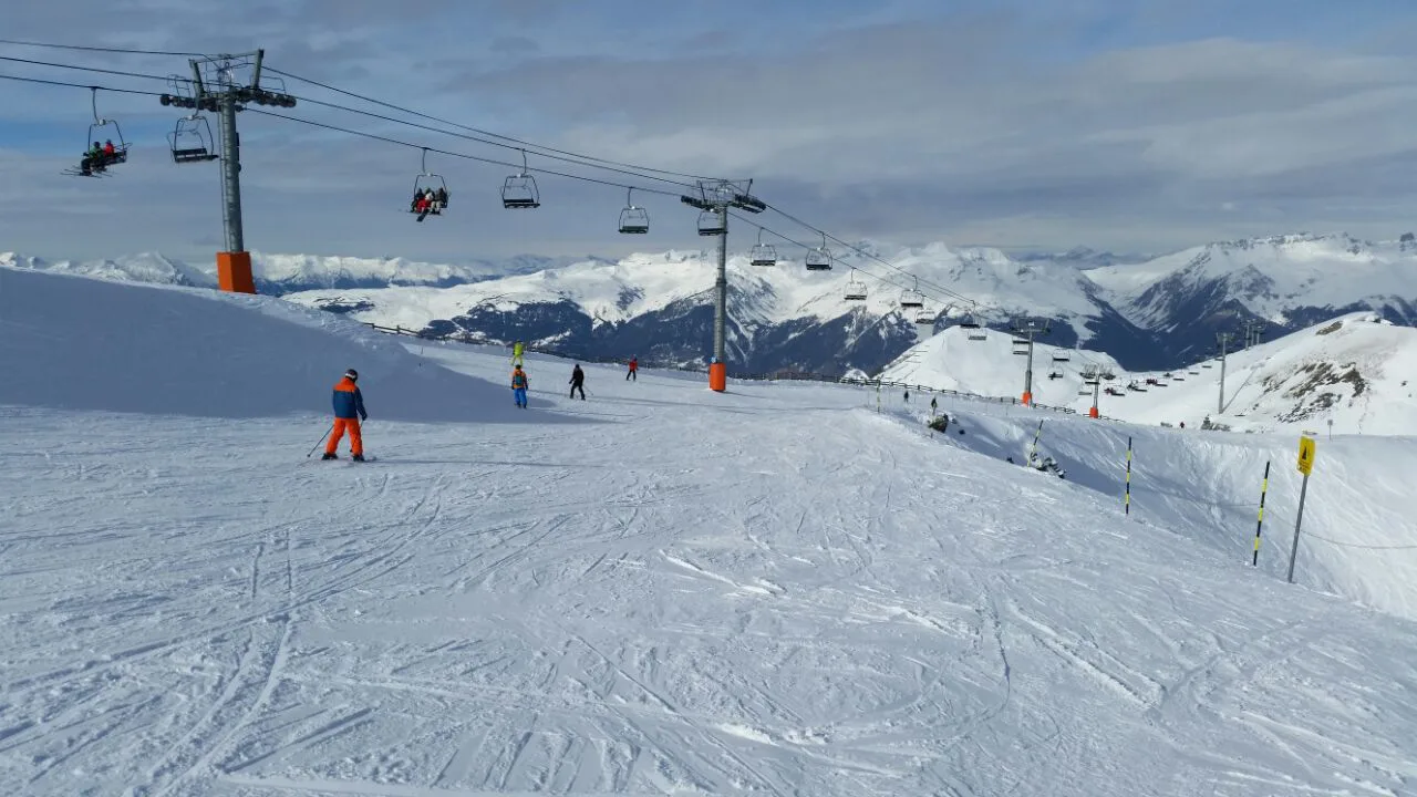
Piste numbers on the map are the fastest way to navigate. Diretta is number 2, Franco Berthod number 3, La Tour number 4, Muret number 5, La Nouva number 6 and San Bernardo number 7, with the numbered runs carrying on up the mountain. Learning half a dozen numbers makes the map readable at a lift station without stopping to squint.
Franco Berthod is the run the map legend highlights: the official La Thuile page calls it the hardest and best-known piste in the domain, with a maximum slope of 76 percent, and notes it has hosted women's World Cup and telemark World Cup races. That slope figure is the reason it appears on the map with a black marking. If you ski it, choose your conditions and your exit line deliberately.
Diretta, La Tour, Muret, La Nouva and San Bernardo form the backbone of the numbered Italian runs, and most carry snowmaking according to the Funivie Piccolo San Bernardo status list. San Bernardo is a useful reference point when planning a return to the village, because its name appears on the map in the middle of the mountain and helps you orient between the upper chairs.
The long blues are the map's other useful labels. They trace the mountain rather than dropping straight to the village, which gives less confident skiers a way down without confronting the steeper blacks near the top. If you are building a first day, follow a blue number from the top of a chair you already know rather than descending blind.
Beginner Zones and Where the Easy Ground Clusters
The map makes beginner ground easy to find because the green and blue runs cluster near the village and at the foot of the main access lifts. La Thuile's operator lists 33 easy pistes out of 83, and the carpets and drags sit at the bottom of the lift system, which is exactly where first-timers should be. Look for the Nastro Edelweiss carpet at around 1,469 m and the two Baby Nastro carpets.
There is also the Nastro Gallery conveyor higher on the mountain, which lets beginners progress to altitude without a long chairlift ride first. That is a detail worth reading off the map before you book lessons, because meeting points and lesson areas sit near these carpets. Ski Lessons at La Thuile are usually grouped by ability and meeting point, so note the relevant sector when you reserve.
For families, the map's two children's play areas sit within the easy ground, and the 5 carpets spread learners across a few zones rather than one crowded nursery slope. If you are hiring kit, the La Thuile Ski hire desks sit in the village and near the main lift base, so a beginner day mostly does not need a car.
Which Sectors Suit Intermediates and Where Strong Skiers Head
Intermediates get the best value from the middle of the map. The blue and red runs around Les Suches, Bosco Express and the Argillien and Fourclaz chairs give long, linked descents without the exposure of the top. A useful rule is to use one express chair as your anchor and build laps that return to it, so you cover ground without crossing the whole domain every run.
Strong skiers should head first to the black runs above the Chaz Dura and Belvedere chairs, and to Franco Berthod once conditions are right. The map's 14 difficult pistes are not evenly spread, and the higher chairs give access to the steepest, most technical ground. The secured freeride zone and the Super Slope are also marked, giving advanced skiers options beyond the groomed runs.
The Belvedere side offers a different trade-off: it is the western flank, reached from 2,410 m to 2,610 m by a chair with 2,400 people per hour capacity, so it can absorb busy mornings. It also feeds the runs back towards the Italian base, making it a good late-morning sector before the crowds shift. If you want a quieter day, La Thuile skiing in March often balances spring snow with a still-full lift network.
Lifts Named on the Map: Gondolas, Express Chairs, Drags and Carpets
The map legend distinguishes lift types, and that distinction is practical. A cable car carries you between major levels, an express chair moves a lot of people quickly, a standard chair is slower, a drag lift serves short pitches and a moving carpet is for beginners. Knowing the type tells you how long a sector will take to lap and how exposed you will be on the ride.
Named examples from the Funivie Piccolo San Bernardo lift list include the Les Suches cable car at 3,000 people per hour, Bosco Express at 2,400 and Chaz Dura Express at 2,090, while the Piloni chair moves around 900 and Gran Testa about 860. Those capacities explain why the big express chairs are the ones to use for covering ground, and why the smaller chairs are better for quiet laps.
The 11 drag lifts are not just beginner infrastructure. Some serve the higher, quieter parts of the map where a surface lift is the only way up, and they are also the first to be affected by wind. If the status page shows a drag on hold, look at the map for the nearest chair alternative before you commit to that sector.
Pairing the Paper Map With Live Slope and Lift Status
The printed map is a plan; the La Thuile live status page is the truth on the day. La Thuile publishes live slope and lift status with a stated opening window of 08:45 to 16:45, plus ticket office hours of 08:00 to 17:00. Read the status before you leave your accommodation, then use the map to reroute around anything on hold.
The status page also shows the international link as open or closed and gives the sector-by-sector picture from La Thuile-Les Suches across to Argillien-Arnouvaz. A snapshot can change within hours, especially with wind at altitude, so check again at the mid-mountain station rather than relying on a morning reading. Lift holds are common on exposed chairs, and the map helps you pick a lower, sheltered alternative.
The free Espace San Bernardo app is the other live tool, with piste, lift and webcam information and pass purchase built in. It is a useful companion to the paper map because you can check a specific chair while standing at its base. Download it before you travel so you are not hunting for signal on the mountain.
Getting the Map: PDF Download, App and Ticket-Office Copies
The map is available as a PDF from the La Thuile operator, and it carries the printed labels and legend rather than being a decorative brochure. Download it before you travel, because reading it on a phone at a lift station is slower than having the sectors already in your head. The village and lift bases also stock paper copies at ticket offices.
If you are comparing resorts, the approach to reading a map is the same everywhere, and the Canazei piste map guide shows how another Italian domain handles symbols and local names. The key habit is universal: identify the access lifts, the summit sectors and the link crossings before you look at individual runs.
For La Thuile specifically, the ticket office at the base is the place to confirm what your pass covers, including whether the international link is included on your chosen product. If your plan depends on crossing into France, buy the product that explicitly covers both countries. The broader La Thuile Skiing overview sets out the season, sectors and pass families in one place.
Practical Map Reading: Altitude, Sun and End-of-Day Positioning
Altitude changes what a map line means. The village sits at 1,441 m, Les Suches tops out around 2,177 m, Chaz Dura near 2,560 m and Mont Valaisan at 2,800 m. A blue run from the summit is not the same proposition as a blue run from mid-mountain, so read the start and end altitudes before committing a beginner to a descent.
La Rosière's south-facing position matters for snow and light, and the map reflects that with the French side laid out as a sunny balcony. In the morning the Italian side often holds colder, firmer snow, while the French side softens sooner. That is a reason to ski the Italian blacks first and cross later in the day.
End-of-day positioning is the last thing to plan. Pick your base lift in the early afternoon, note its last safe connection time, and do not start a long traverse at 16:00. The 16:45 closing is a hard stop for lift access, so treat 16:00 as your departure signal from the far side of the map and you will not be caught out.
Plan Your Visit
The La Thuile ski map rewards an hour of study before you travel. Mark the access lifts, circle the sectors you want to ski and decide where the cross-border day fits, using the published season dates to rule out a crossing at the start or end of the season.
Once on the mountain, carry the paper map and check the live status at the mid-station before committing to a sector. Check lathuile.it for current prices and dates before you book, then build each day around one anchor chair and one planned crossing rather than a list of runs.
Frequently Asked Questions
What does the La Thuile ski map include?
It covers the La Thuile lifts above the village plus the linked Espace San Bernardo domain shared with La Rosière. The map labels sectors such as Les Suches, Chaz Dura, Belvedere and Piccolo San Bernardo, and it numbers the pistes so you can match a run to the legend.
How many kilometres of pistes are in La Thuile?
Espace San Bernardo is described as 156 km of pistes with 83 runs and 37 lifts spread across the Italian and French sides. The La Thuile side alone accounts for the larger share of the lift network, including the main access cable car and express chairs.
Can you ski from La Thuile to La Rosière on one pass?
Yes, when the international link is open. The link is published as running from 12 December 2026 to 11 April 2027, weather permitting, and a single international pass covers both sides. Make sure your chosen pass includes the cross-border area before planning a crossing day.
Which La Thuile piste is the hardest?
Franco Berthod, numbered 3 on the map, is the run highlighted as the hardest and best known, with a maximum slope of 76 percent. It has hosted World Cup and telemark World Cup races, and it is marked as a black run on the piste map.
Where are the beginner slopes in La Thuile?
The easy ground clusters near the village and the base of the access lifts, where the moving carpets are located. Look for the Nastro Edelweiss carpet and the two Baby Nastro carpets on the map, plus the Nastro Gallery conveyor higher up for a first taste of altitude.
How do I get a La Thuile piste map PDF?
A downloadable PDF carrying the piste labels and lift legend is available. Download it before you travel, and collect a paper copy at the ticket office or lift base in the village if you prefer to plan on paper.
What is the vertical drop at La Thuile?
The lift company gives 1,600 m of vertical drop for the domain, from the village at 1,441 m up to around 2,800 m at Mont Valaisan. That is the number to use when judging how much ground a run covers on the map.
Sources
Useful notes for your next ski trip
Optional updates to our Alpine resort guides.
You might also like
Continue reading
More guides you'll find useful