Arosa Piste Map: How to Read the Slopes and Sectors
Use the Arosa piste map to plan your day: Arosa and Lenzerheide sectors, the Urdenbahn link, 225 km of runs, lift hours and live slope status.
On this page
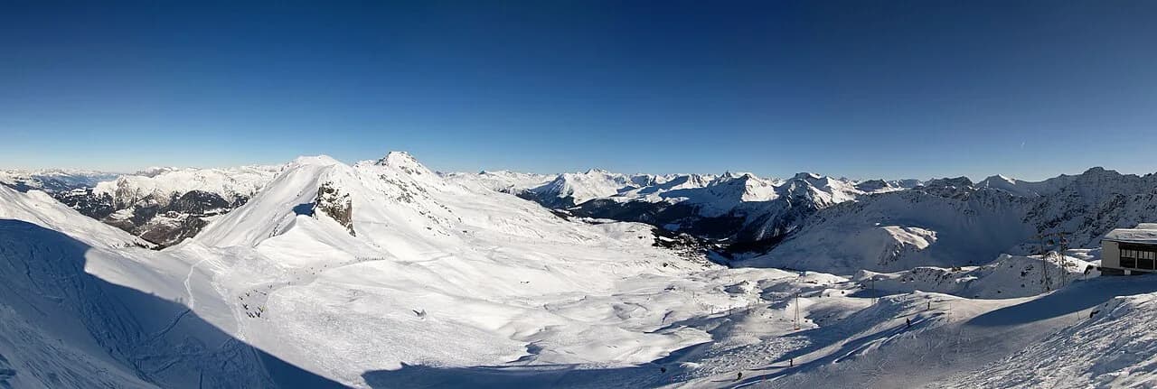
The Arosa piste map is not a plan of a single village hill. It shows one interconnected ski area spanning Arosa in the Schanfigg valley and Lenzerheide in the valley next door, linked above the Urdental by the Urdenbahn. Understanding that structure is the difference between a day spent shuffling around one hub and a day that uses the whole network.
Arosa Lenzerheide lists 43 lifts and 225 kilometres of slopes across the two sides, so the map is really a small atlas of sectors. This guide walks through those sectors, flags the runs and lifts worth locating before you travel, and explains when to use the PDF panorama, the interactive plan or the live status board. For the wider trip context, the Arosa ski guide covers tickets, winter planning and the resort as a whole.
What the Arosa piste map actually covers
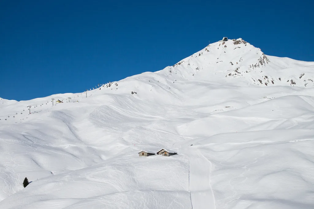
The map covers a single lift network with two hubs. Arosa sits at the western end, its slopes spread across the Weisshorn, Hörnli, Carmenna and Tschuggen flanks. Lenzerheide occupies the eastern side around Rothorn, Scalottas, Lavoz and the Windegga edge above Churwalden.
That layout changes how you plan. If you base in Arosa, most of your morning terrain is on one side of the Urdenbahn; if you base in Lenzerheide, the reverse is true. Deciding which hub to sleep in is the biggest single map-reading decision you will make, well before you look at individual runs.
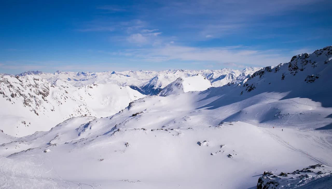
The ski area tops out at 2,865 metres, which is why the upper bowls around Weisshorn and Rothorn hold snow well while lower valley runs such as the Talabfahrt lines are more conditional.
The official plan labels the full lift roster and slope numbers, and it distinguishes groomed pistes from marked-but-ungroomed routes. For a comparable exercise on another Graubünden network, the Davos piste Map Guide applies the same sector-by-sector reading.
Arosa side, sector by sector
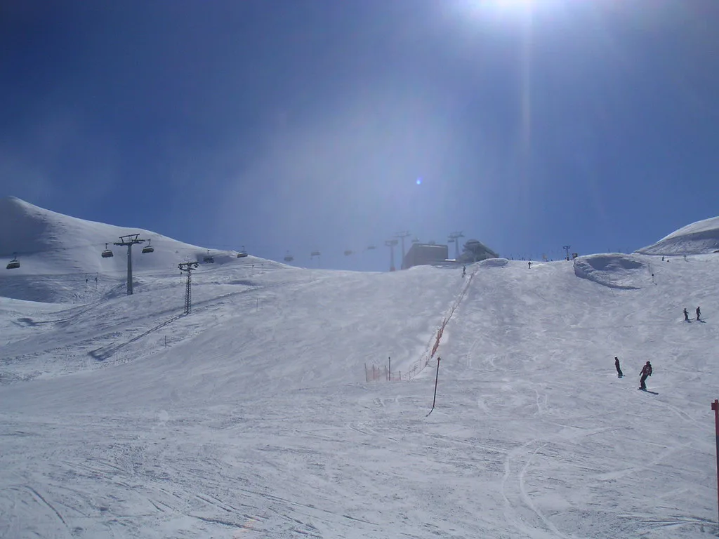
Start at the Weisshorn, the Arosa side's high point and the anchor of its lift system. The Weisshorn cable car runs in two sections, and the map shows the upper section feeding the Carmennaberg area and the runs numbered in the eights, including the Carmenna lines and the traverse toward Ried. These are the groomed cruising slopes most Arosa-based skiers spend their first morning on.
The Hörnli-Express serves the central Arosa pod, where the numbered runs from 1 to 6 cluster around the Hörnli traverse, Strada and the Emsla line. This is also where you catch the Urdenbahn across the valley, so the map reads as a junction rather than a terminus.
Kulm, Tschuggen Ost, Tschuggen West and Tomeli form a secondary web lower on the Arosa flank, with the Kulm gondola and its Tschuggenhütte runs sitting between the middle station and Ried. These lifts open on snow-dependent schedules, so the map is the right place to learn their names but the live report is where you confirm they are running.
Brüggerhorn carries the eye-catching Diamond Slope, one of the named black lines on the Arosa side, and Prätschli sits at the bottom edge with the beginner conveyor area and its own short pistes. Reading these names on the map before you go makes the signposts in resort far easier to follow.
Lenzerheide side, sector by sector
Rothorn is the Lenzerheide side's spine, with a two-section gondola and the numbered pistes in the twenties and thirties that fan down toward Valbella and Scharmoin. The Rothorn 1 section also serves the World Cup descent and the Scharmoin standard run, which are useful markers when you are orienting yourself from the valley.
Weisshorn Speed, despite the name, is a Lenzerheide chairlift linking the Rothorn flank toward the Urdenfürggli shoulder, where you meet the Urdenbahn. Its runs include Lunar Lane and Caracciola-Weg, both easy to find on the map once you know they hang off the number 21 and 22 lines.
Scalottas and Lavoz make up the southern cluster, a dense knot of blue and red pistes numbered in the forties and fifties, with the FIS run, Jammeri, Nova and Lavoz feeding back into the same lifts. Stätzertäli, Proschieri and Windegga push east toward Churwalden, and this is where the map's black runs concentrate, including Die Rote, Zündhölzli and Black Viper.
The Churwalden edge, served by the Pradaschier and Windegga lifts, is the part of the map most visitors overlook. It gives you a quieter alternative on busy days, but you need to watch the clock because the connecting lifts back toward the main hubs close earlier than the central ones.
The Urdenbahn link and skiing both sides in one day
The Urdenbahn crosses the Urdental in about five minutes, connecting Hörnli on the Arosa side to Urdenfürggli on the Lenzerheide side.
That short hop is what makes a two-valley day realistic. The practical pattern is to ski one side in the morning, cross at lunch, and work the other side in the afternoon, or to cross early and return late if your accommodation is on the far side. The mistake is to cross without checking the last descent times at both ends, because the Urdenbahn does not run on the same schedule as the valley lifts.
Arosa Lenzerheide's live list gives the Urdenbahn's current hours alongside the Hörnli-Express and the Weisshorn sections, which is the fastest way to sanity-check a crossing plan on the morning you travel.
Lift hours and last descents
Lift timings on the two sides are not identical, and the differences matter for itinerary planning. On the operator's facility list, the Weisshorn sections and the Hörnli-Express start earliest in the morning while the Urdenbahn runs a slightly later window through the middle of the day, so a crossing plan has to respect two different clocks.
Treat those printed times as the outer envelope. Arosa Lenzerheide updates the list in the days before a given date and adjusts it with weather and snow, so the map tells you which lift you need and the live report tells you whether it is turning.
Season phases shape coverage just as much as daily hours. The Arosa Lenzerheide 2026/27 calendar runs a pre-season from 28 November to 18 December, full operation from 19 December to 11 March, a second peak block from 12 March to 4 April, and a limited off-season from 5 to 11 April.
A pre-season map shows a partial network because the ski area is still being built out, and spring maps thin out from the western Lenzerheide lifts first. The dedicated Arosa Ski season dates page breaks those phases down in more detail.
Where beginners and improvers should base themselves
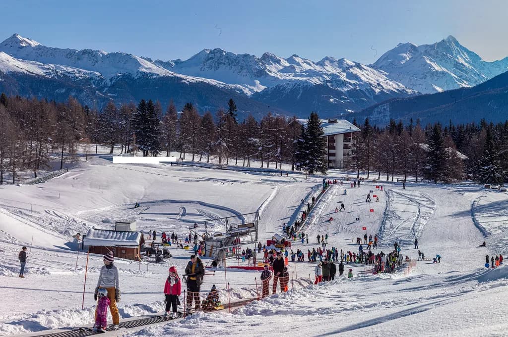
For first-timers, the map's most useful feature is the Honigland area next to the Prätschli lift in Arosa. It is a free beginners' and children's zone with a 45-metre conveyor belt, which means you can put a nervous skier on snow without buying a lift pass for the nursery slope.
Improvers who can already link turns have a better range on the Lenzerheide side, where the Scalottas and Lavoz clusters offer long, forgiving blue and red pistes that funnel back to the same lifts. That geometry keeps progression simple: you repeat one pod until you are confident, then move to the next.
Basing near the Arosa valley station puts beginners within reach of the Weisshorn sections and the gentle lines off Carmenna, while a Lenzerheide base near Rothorn 1 or Valbella shortens the morning commute to the southern pods. Whichever you choose, book accommodation and ski school early for peak weeks, because those are the dates when both hubs fill.
Where strong skiers head
The map's black runs are concentrated on the Lenzerheide side, especially around Stätzerhorn and Windegga. Look for Die Rote, Zündhölzli and Black Viper in the eastern cluster, and the World Cup descent on Rothorn for a long, fast groomed line with a name you can follow on signs.
On the Arosa side, the Diamond Slope off Brüggerhorn is the run to locate, along with the steeper numbered lines below Hörnli. These runs are groomed pistes rather than itineraries, but they deserve a look at the map before you commit, because the lift that serves them closes earlier than the central Arosa pods.
Freeriders should read the legend carefully, because marked-but-ungroomed routes appear in a different colour from the groomed pistes. The map shows where these routes sit; conditions and any local guidance are separate questions to settle in resort. For terrain parks rather than steeps, the Arosa snowboarding guide covers the park layout and ticket implications.
Colour coding and the symbols in the legend
The legend uses the standard Swiss convention of blue for easy, red for average and black for challenging slopes, with a separate yellow marking for downhill routes that are marked but not groomed.
Beyond slope colour, the legend identifies aerial cableways, cable cars, six-, four- and three-seater chairlifts, ski lifts, practice lifts and magic carpets. It also marks snowparks, winter hiking trails and sledge runs, which is why the map doubles as a family-planning tool when not everyone in the group skis.
Slope numbers are the key to cross-referencing. Arosa runs sit largely in the single and low double digits, Lenzerheide runs in the twenties through eighties, and letters denote variations on the same line. Once you notice that pattern, finding a named run on the map becomes quick even in gloves.
PDF, panorama and interactive 2D map: which to use when
For trip planning at home, download the printable panorama PDF, because it shows the whole linked area on one sheet and is easy to annotate. Arosa Lenzerheide publishes both a panorama map and a PDF version, and the PDF is the one to keep on a phone or print for the group.
In resort, the interactive 2D map is more useful, because it carries live lift and slope information layered onto the same geography. Use it to answer the only question that matters at breakfast: which sectors are actually running today.
The live status board on the same site lists open lifts, slopes, cross-country trails, sledging runs and mountain restaurants, updated through the day. That is the version to trust on a marginal weather morning, when a PDF printed weeks earlier is just a rough guide.
Checking live status, pre-season and spring timetables
Lift and slope status changes quickly in the Alps, and Arosa Lenzerheide says its published overview represents the earliest possible opening of each facility, adjusted in the days ahead of the date in line with forecasts.
In practice, that means pre-season and late-season trips need a live check the evening before and again in the morning. Slopes and lifts shown as open on a map may close for wind, snow or maintenance, and the status page reflects that better than any printed plan.
Lift passes are a separate question from the map, and the Arosa Ski pass page works through the product options and how they are issued. Confirm what your chosen pass covers before you commit, since the products and tariffs change by season.
Practical map-led planning
Build each day around one hub and one crossing. A sensible Arosa pattern is Weisshorn early, Hörnli and the Urdenbahn late morning, then Lenzerheide's Rothorn or Scalottas in the afternoon, with the return crossing timed well before the last Urdenbahn departure. The reverse works from a Lenzerheide base.
Plan lunch by the map, not by chance. The area has more than 40 huts and mountain restaurants, and choosing one near a sector boundary saves you a wasted run at the busiest hour.
End the day deliberately. Identify which valley your accommodation is in, find the descent that returns there, and note its closing time on the live board rather than trusting a morning glance. The last descent times published by Arosa Lenzerheide are the ones to work backward from, but check current dates before you travel.
Plan Your Visit
Read the Arosa piste map as one linked area with two hubs: Arosa's Weisshorn, Hörnli and Tschuggen terrain on the west, Lenzerheide's Rothorn, Scalottas and Windegga sectors on the east, joined by the Urdenbahn above the Urdental. Choose your base according to which side you want closest, then build days around single crossings rather than constant shuttling.
Keep the PDF panorama for planning and the interactive map and live status for decisions in resort, and check timings for the season you are travelling rather than relying on a remembered schedule. That habit, more than any single run, is what makes a two-valley ski day work.
Frequently Asked Questions
How many kilometres of piste are in the Arosa Lenzerheide ski area?
The operator lists 225 kilometres of slopes and 43 lifts across the linked Arosa Lenzerheide area. Those are published totals for the network as a whole, not a promise that every run is open on your date, so check the live slope status before you travel.
How do you get from Arosa to Lenzerheide on skis?
The Urdenbahn connects Hörnli on the Arosa side with Urdenfürggli on the Lenzerheide side, a crossing of roughly five minutes over the Urdental. Time your return before the last Urdenbahn departure, because that lift keeps different hours from the valley lifts.
Where can I find a printable Arosa piste map PDF?
A panorama map and a downloadable PDF are published on the ski map page. The PDF shows the whole linked area on one sheet, which makes it the better version to print or annotate.
Which side of Arosa Lenzerheide is best for beginners?
Arosa has the free Honigland beginners' area next to the Prätschli lift, with a conveyor belt for first turns. Lenzerheide suits improvers who can already link turns, thanks to long blue and red pistes in the Scalottas and Lavoz clusters that return to the same lifts.
What time do the lifts in Arosa open and close?
Opening and last-descent times vary by lift, and each one is listed on the facility list. The list is adjusted in the days before a given date with weather and snow, so check timings on the live report rather than from a printed map.
When does the Arosa Lenzerheide ski season start and end?
For 2026/27 there is a pre-season from 28 November to 18 December, full operation from 19 December to 11 March and 12 March to 4 April, and limited off-season operation from 5 to 11 April. Snow and weather can move those boundaries.
Which map version should I use in resort?
Use the interactive 2D map in resort, because it layers live lift and slope information onto the same geography as the printed plan. Keep the PDF panorama for planning at home, where the whole linked area on one sheet is easier to work with.
Sources
Useful notes for your next ski trip
Optional updates to our Alpine resort guides.
You might also like
Continue reading
More guides you'll find useful