Val di Fassa Ski Map: Choose Sectors, Links & Passes
Val di Fassa's piste map divides the valley into eight village-linked sectors. See how the areas connect, which pass covers what, and where to check live status.
On this page
Val di Fassa threads along a valley floor where each main village has its own access lift and its own cluster of pistes. The piste map therefore splits into eight mapped sectors rather than one uniform ski area, which matters when you are deciding where to stay and which pass to buy.
This guide walks through the map sector by sector, shows which areas sit as a continuous linked block and which need a lift, bus or separate access, and separates the local pass footprint from the Dolomiti Superski upgrade. It also explains how to use the official snow bulletin to confirm openings before travelling, without treating the map as a live status board.
Why the Val di Fassa Map Is a Corridor of Sectors
The valley runs roughly east to west, and Canazei, Campitello, Alba, Pozza, Vigo, Pera and Moena each sit along it with their own lift connection up to the surrounding slopes. The map shows these as distinct sector names rather than one merged resort, so a base choice effectively becomes a sector choice. On the official bulletin, the sectors are listed individually: Alba-Ciampac, Campitello-Mazzin-Col Rodella, Canazei-Belvedere, Moena-Alpe Lusia, Passo di Costalunga-Carezza, Passo San Pellegrino-Falcade, Pozza di Fassa-Aloch-Buffaure and Vigo di Fassa-Pera-Ciampedie.
Map literacy here means reading connection lines and gaps rather than memorising slope names. Where the map draws a link between two sectors, you can plan a continuous day across them; where it shows a gap, you are looking at two separate access points. That distinction drives both pass scope and how much time you spend on lifts versus pistes.
Sector-by-Sector Orientation from the Map
Starting from the west, Canazei-Belvedere is a large sector on the official list, with 23 km mapped and a mix of blue, red and black runs, and it is the usual access point for the Sella Ronda. Campitello-Mazzin-Col Rodella is a smaller sector at 10 km but sits directly above Campitello and serves as the link toward the Sella Ronda's clockwise direction. Alba-Ciampac is the smallest at 9 km and feeds the Ciampac bowl. For a closer look at how the lifts and pistes are drawn in the western sectors, the Canazei piste map guide breaks them down step by step.
Moving east, Pozza di Fassa-Aloch-Buffaure maps 14 km with a red-heavy profile, while Vigo di Fassa-Pera-Ciampedie also maps 14 km but with a blue-majority split. Moena-Alpe Lusia is the easternmost sizeable sector at 26 km and reads as a more balanced blue-red mix. Two further sectors sit apart from the main valley: Passo di Costalunga-Carezza at 44 km and Passo San Pellegrino-Falcade at 62 km, both accessed via mountain passes rather than the valley-floor villages.
Which Sectors Sit Together and Which Do Not
On the map, the central valley sectors form a chain: Alba-Ciampac links toward Pozza di Fassa-Aloch-Buffaure, which in turn sits near Vigo di Fassa-Pera-Ciampedie, while Campitello-Mazzin-Col Rodella connects into the Canazei-Belvedere side. This means a skier based in Campitello can reasonably plan a day across Col Rodella and Belvedere without returning to the valley floor. The bulletin shows each of these sectors with its own lift and piste count, which is a useful reminder that they are tracked separately.
The eastern sectors break that continuity. Moena-Alpe Lusia sits above Moena and does not link directly by lift to the Vigo or Pozza sectors, so reaching it from the western valley means a bus or a drive. Passo di Costalunga-Carezza and Passo San Pellegrino-Falcade are similarly separate, accessed by road over their respective passes. Reading those gaps on the map is more reliable than assuming everything joins up.
Pass Boundaries: Local Fassatal Versus Dolomiti Superski
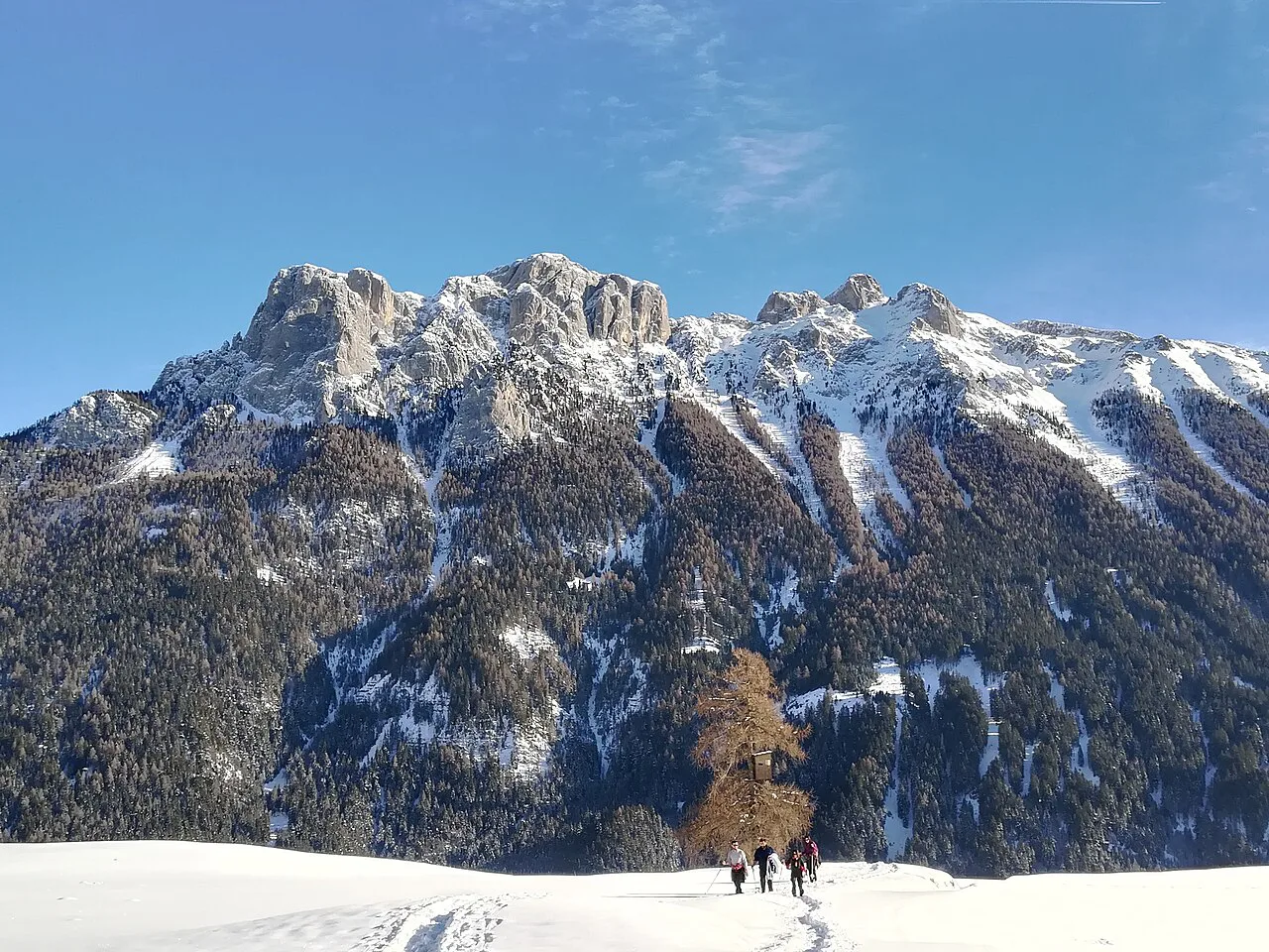
The map's connection lines also hint at pass boundaries. The local Fassatal/Karersee pass is described by one third-party source as covering the Val di Fassa sectors plus Karersee, with 120 km of piste and 53 lifts, but that aggregate is not an official current figure and should be treated as indicative rather than definitive. The official Trentino bulletin covers only the Val di Fassa sectors and does not include Karersee, so the inclusion of Carezza in the local pass is third-party data rather than confirmed by the bulletin.
The Dolomiti Superski upgrade is a different product with a much wider footprint, taking in the Sella Ronda circuit and the surrounding Dolomites. On a Val di Fassa map, the Sella Ronda appears as a loop that can be joined from the Canazei-Belvedere or Campitello-Col Rodella sides, but completing it depends on the connecting lifts in neighbouring valleys being open. Before booking a pass, check which sectors you actually plan to ski and confirm the pass scope directly with the lift company.
Terrain Distribution and Ability Fit
The official bulletin breaks each sector down into blue, red and black piste kilometres, and the proportions vary enough that a map-first check is worthwhile. Vigo di Fassa-Pera-Ciampedie, for instance, maps seven blue kilometres against six red and one black, making it a gentler sector than Pozza di Fassa-Aloch-Buffaure, which maps one blue against ten red and three black. Canazei-Belvedere sits in between with five blue, sixteen red and two black.
A single resort-wide piste-kilometre headline hides that variation, so match the sector profile to your group rather than the total. A beginner group based in Vigo will find more suitable terrain on the doorstep than one based in Pozza, while a strong intermediate group may prefer the red-heavy Pozza or Passo San Pellegrino profile. None of this substitutes for checking the live bulletin, since terrain availability changes through the season.
Using Live Status to Confirm Openings Before Travel
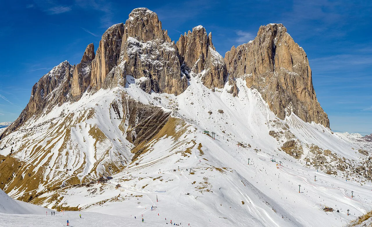
The Visit Trentino snow bulletin is the practical live-status tool for Val di Fassa, listing each sector with its open lift count, open piste kilometres and snow depth. It covers lift types including chair lifts, gondolas, cableways and surface lifts, and it updates as conditions change. As of the retrieved data, every listed Val di Fassa sector showed as closed with zero lifts and zero open pistes, which reflects the seasonal state rather than a permanent condition.
What the bulletin does not tell you is whether a specific link between two sectors will be skiable on a given day, because that depends on the connecting lift being open. It also does not confirm pass validity for a particular sector, since that is a product question. Use the bulletin for current lift and piste status, and ask the lift company or your pass provider about scope and connections before you commit.
Planning Around the Map
Read the Val di Fassa piste map as eight sectors with different access points, different terrain mixes and different pass implications. Decide which sector you want as a base, check whether it links to the areas you plan to ski, and confirm the pass scope covers that combination. Then use the official bulletin to check live lift and piste status close to your travel date.
The map is a planning tool, not a guarantee. Connection lines show where sectors join, but whether those links are skiable depends on the season and the day. Treat scheduled openings as conditional and check current prices or dates with the Val di Fassa lift companies before booking.
Frequently Asked Questions
Does the Val di Fassa ski map show one connected area or several separate sectors?
It shows eight mapped sectors, each tied to a valley-floor village or a mountain pass. The official bulletin lists them individually: Canazei-Belvedere, Campitello-Mazzin-Col Rodella, Alba-Ciampac, Pozza di Fassa-Aloch-Buffaure, Vigo di Fassa-Pera-Ciampedie, Moena-Alpe Lusia, Passo di Costalunga-Carezza and Passo San Pellegrino-Falcade. Some are linked by lifts; others need a bus or a drive.
Is the Sella Ronda included on the Val di Fassa piste map?
The Sella Ronda appears on the map as a loop that can be joined from the Canazei-Belvedere or Campitello-Col Rodella sides. Completing the circuit depends on the connecting lifts in neighbouring valleys being open; check live status for the full loop.
Is the Fassatal/Karersee pass the same as the Dolomiti Superski pass?
They are different products. The local Fassatal/Karersee pass covers the Val di Fassa sectors and, according to one third-party source, Karersee, but the official Trentino bulletin does not confirm Karersee inclusion. The Dolomiti Superski upgrade has a much wider footprint. Confirm the exact scope with the lift company before buying.
How do I check which Val di Fassa sectors and lifts are open before I travel?
Use the Visit Trentino snow bulletin, which lists each sector with open lift counts, open piste kilometres and snow depth. It updates as conditions change. It does not confirm pass validity or whether a specific link between sectors will be skiable, so check those with the lift company or pass provider.
Sources
Useful notes for your next ski trip
Optional updates to our Alpine resort guides.
You might also like
Continue reading
More guides you'll find useful