Alta Badia Ski Map Explained: Sectors, Links and Lift Access
Alta Badia's ski map covers four village sectors, the La Crusc and Gardenaccia areas and Sellaronda access. Here's how to read it before you ski.
On this page
Alta Badia's piste map looks manageable until you start counting the named lifts across four villages, two outlying sectors and three pass connections. The useful reading decision is not how many pistes you can tick off but which village base and sector loop you will actually ski. This guide explains how the map is structured, where the network leaves the valley and what the printed circuit lines cannot tell you.
Use the map as a plan and the live Dolomiti Superski tools as the day's truth: a printed or downloaded map shows topography and connections, while lift running order and piste status change with weather and maintenance. The official Alta Badia ski area page describes the resort as part of the Dolomiti Superski carousel with 54 fast lifts and 130 groomed piste kilometres, and links to an interactive winter map for live orientation.
Choose Your Base Before You Read the Lifts
Corvara, Colfosco, La Villa, San Cassiano and Badia each sit under a different part of the network, so your base determines which lifts you ride first and which sector you reach without a shuttle. Dovesciare's map commentary places San Cassiano, La Villa and Badia along the lower part of the ski area, with Corvara at its centre and Colfosco leading towards Passo Gardena. Reading the map from your accommodation outwards is more useful than studying the highest lift on the sheet.
A base decision also sets your return route: end-of-day pistes funnel back towards the village lift stations, and a wrong-side finish can mean a bus rather than a ski-in. Before booking, ask which lift station is closest to your accommodation and whether a bus or ski bus connects it. That single question shapes the whole week more than the piste count does. If you are still weighing resort character, the Alta Badia Skiing Guide covers the destination at a higher level.
How the Alta Badia Map Is Structured
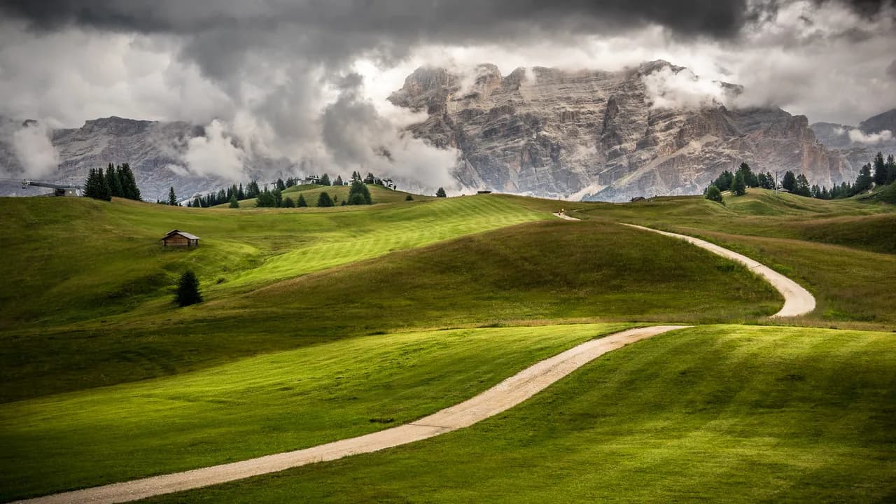
The map's spine is the high plateau between Corvara, La Villa and San Cassiano, reached by interconnected lifts and topped by the Piz La Ila, Piz Sorega and Pralongiá areas. The official skiing page describes that plateau as rising between the three localities and accessible by linked lifts, with the Pralongiá viewpoint opening onto the Marmolada, wider Dolomite peaks and, on clear days, the Austrian Alps. Treat that plateau as the map's central hub rather than one sector among many.
Around the hub sit the village sectors and their local lifts, which is why a route across Alta Badia usually crosses the plateau rather than following the valley floor. Within the wider carousel, the Alta Badia ski area page frames 130 piste kilometres as 74 km of blue, 47 km of red and 9 km of black, with more than 90 snowcats grooming overnight. Those grading figures describe the whole area's mix, not the difficulty of any single run you will ski. For terrain-mix context rather than a map reading, see the skiing overview.
The Plateau Linking Lifts That Hold the Map Together
Named lifts such as Piz La Ila, Piz Sorega, Pralongiá and Col Alto are the connectors that make a multi-village day possible, so read them as links rather than destinations. A third-party lift listing shows the Col Alto gondola rising from Corvara, Piz La Ila running from La Villa and Pralongiá lifting from near Corvara towards the Campolongo side. Its piste listing also shows short link pistes tying areas together, which is how you cross between sectors without dropping to a road.
Practically, plan a loop that returns to your base using plateau links, then add one valley-sector detour rather than zig-zagging. If one connector is closed for wind or maintenance, the loop collapses, so always identify a second way home. This is the map skill that matters most on a short trip. Pair your map reading with a look at the alta badia ski pass before you commit to how many days you will ski each sector.
Sectors and Side Areas Off the Main Circuit
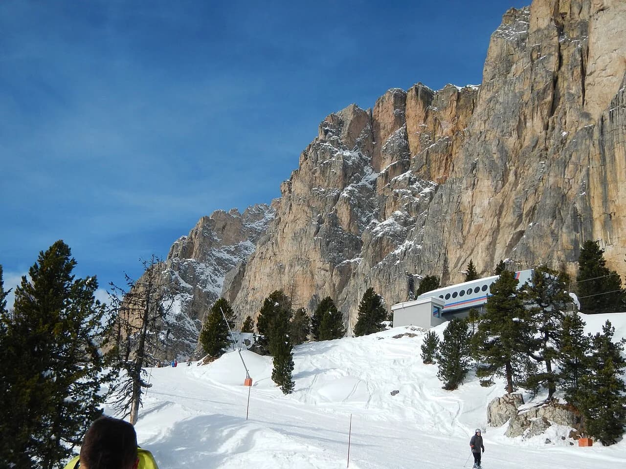
The official skiing page singles out Val Stella Alpina above Colfosco, reached from the valley floor by cable car and holding about 5.5 km of descents in a sunlit basin below the Sassongher and Ciampac. It also covers La Crusc above Badia, a panoramic sector around the Santa Croce shrine, and Gardenaccia, where the lift brings novices, children and stronger skiers onto the same slopes. These sit off the main plateau circuit, so give each one its own half-day rather than threading them into a crossing.
The lift listing confirms separate access for these peripheral areas, including the Colfosco and La Crusc lifts and the Gardenaccia chair above La Villa. On the map, check whether a side area has its own return lift or only one way back, because a single-lift sector changes your timing. For terrain-focused visitors, pairing the map read with the snowboarding overview helps decide whether the park and fun-slope markings matter to your plan.
Where the Map Leaves Alta Badia
Three exits matter on the map: Passo Gardena towards Val Gardena from the Colfosco side, Passo Campolongo towards Arabba, and the Armentarola link that connects towards Lagazuoi. Dovesciare's commentary places Colfosco leading to Passo Gardena and the Arabba route reaching through Passo Campolongo. The bergfex piste list shows a long Armentarola sector connection and the Lagazuoi cable car at the Falzarego end, which is the map's far boundary rather than an in-resort piste.
Each exit depends on the connecting lift or piste on the other side being open, so treat pass crossings as conditional rather than fixed. If your goal is Val Gardena or Arabba, check the day's lift status at both ends before setting out, and keep a fallback loop inside Alta Badia. A cross-border day should be the plan you choose when conditions allow, not the assumption your week is built on. If you are comparing this network with a similar Dolomites resort, the Canazei piste map guide shows how sector and Sellaronda links are read elsewhere.
Reading the Sellaronda and the Live Status Layer
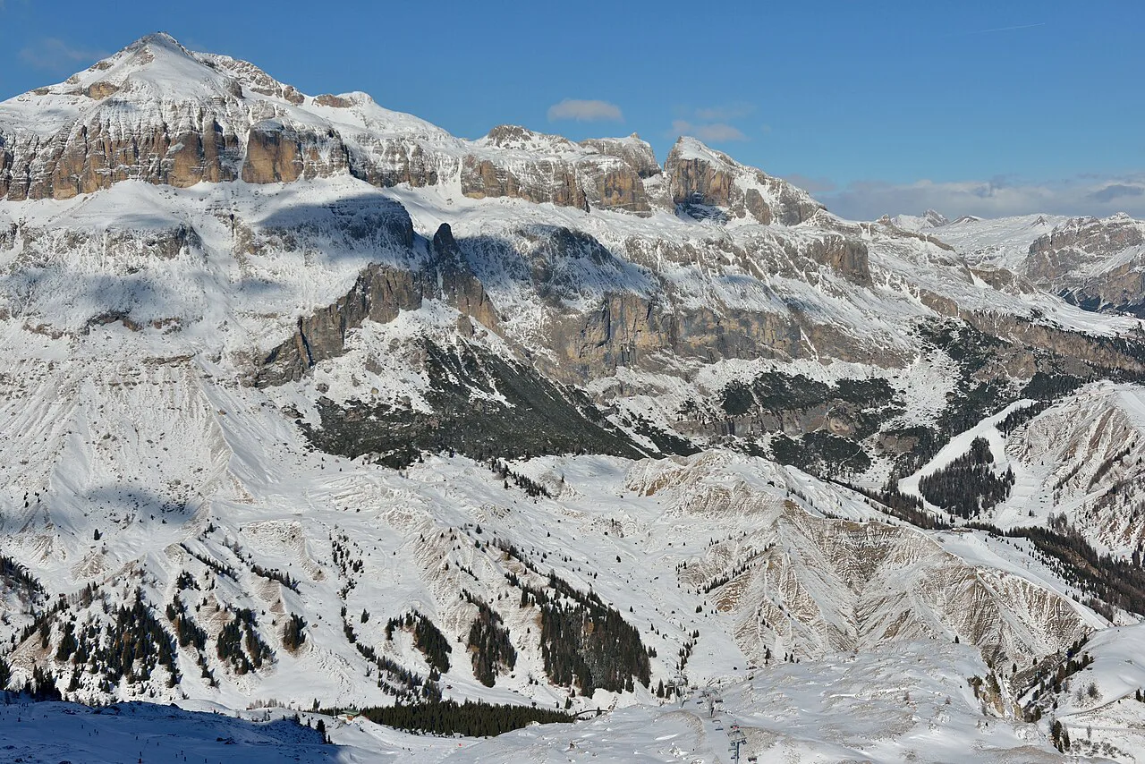
The Sellaronda appears on the map as circuit lines in two directions, and Dolomiti Superski lists the Sellaronda at about 39.6 km in each direction, roughly four to four and a half hours, with longer First World War tour variants of about 80 km. Those are the published circuit figures, not a promise that the full loop runs on your chosen day. On the map, locate the two directions from your base and note where the circuit rejoins Alta Badia. The overall trip belongs with alta badia skiing planning, not with this map read.
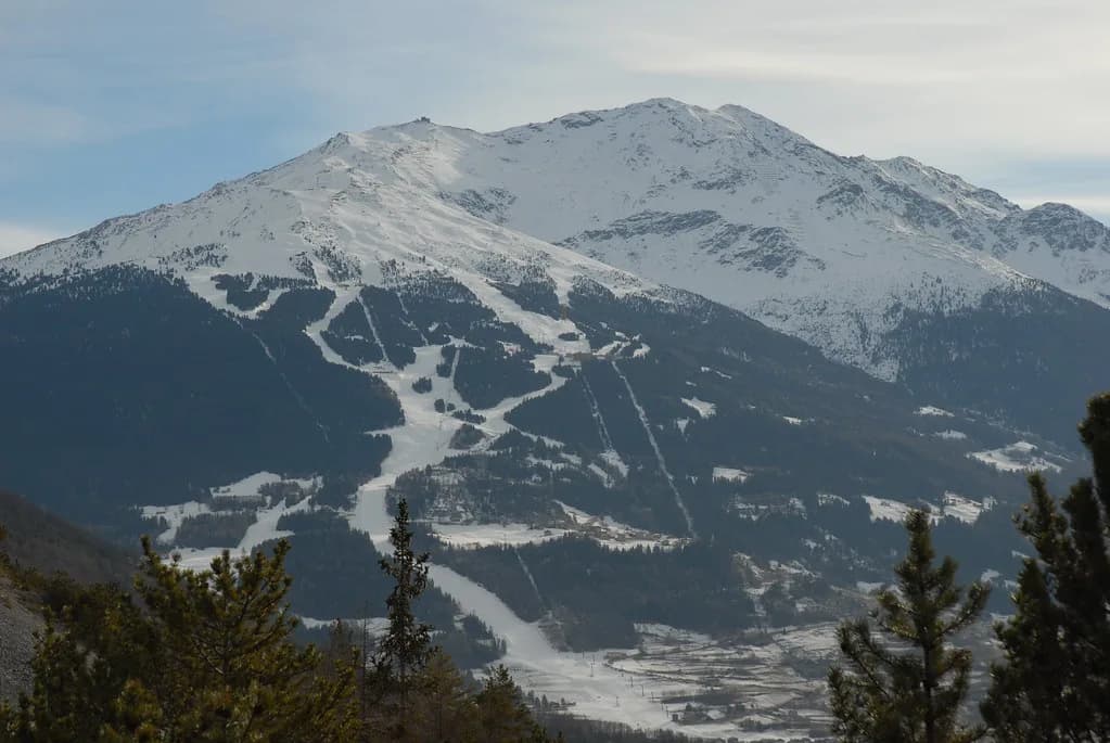
The Dolomiti Superski winter map tool is the source for live orientation, because it reflects lifts and piste status rather than an archived graphic. The season window published for the ski area runs from 4 December to 4 April and is a scheduled period, so no individual lift, link or piste is guaranteed on a given date. Use the printed map to plan sectors and the live tool to see what is actually spinning, then sanity-check your route against the day's conditions. This is a resort-specific read of the same discipline used on the bormio ski map.
Plan Your Route Round by Round
Start with your village base, mark the plateau links that bring you home, then add one peripheral sector such as Colfosco, La Crusc or Gardenaccia per day. Check the live winter map before you set out and treat pass crossings as conditional. That sequence turns a busy sheet of lifts into a week you can actually ski.
Buying the pass is the next decision once the map is clear. Compare what you need for the sectors you have chosen, whether that means a local day or a wider carousel ticket, and check the operator's current terms. The map tells you where you can go; the pass decides what you can reach.
Frequently Asked Questions
Which villages and sectors appear on the Alta Badia piste map?
The map covers Corvara, Colfosco, La Villa, San Cassiano and Badia, with the high plateau between the central villages, plus the La Crusc and Gardenaccia side areas. It also shows pass connections towards Val Gardena, Arabba and the Lagazuoi link. Treat the plateau as the hub and the villages as the stops around it.
How do you read the Sellaronda on the Alta Badia ski map?
The circuit appears as two directional lines, roughly 39.6 km in each direction, taking about four to four and a half hours in good conditions. Work out which direction starts closest to your base and where the circuit rejoins the resort. The printed lines show the route, not whether the full loop runs on your chosen day.
What is the difference between the Alta Badia piste map and the live map?
The piste map shows terrain, lift names and connections, while the live winter map reflects lifts and piste status, which shift with weather and maintenance. Use the printed or downloaded map to plan sectors and routes, then check the live tool on the morning you ski. No individual lift or link is guaranteed on a given date.
How many lifts and piste kilometres does Alta Badia show?
The ski area is framed as 54 fast lifts and 130 groomed piste kilometres, graded as 74 km blue, 47 km red and 9 km black. That is a map-scale description of the network, not a count of what is open on your dates. Check the live map for the day's running lifts before you plan a long crossing.
Sources
Useful notes for your next ski trip
Optional updates to our Alpine resort guides.
You might also like
Continue reading
More guides you'll find useful