Zell am See Ski Map: How to Read the Pistes and Sectors
Use the Zell am See ski map to plan days on the Schmittenhöhe, match sectors to your ability and see how Kaprun and Saalbach fit into the wider pass.
On this page
A Zell am See ski map looks simple at first glance: one mountain above a lake, a town tucked underneath it and a scatter of lifts running up from the valley. Understanding what the map does and does not connect is the difference between a well-planned short break and a lot of unnecessary bus time. This guide unpacks the Schmittenhöhe terrain first, then shows where the Kaprun and Saalbach links fit in.
The most useful habit is to open the map before you book anything. Decide which sectors you realistically want to ski, check whether your ticket covers the areas you are eyeing, and let that shape where you sleep and how you split your days. The wider planning picture, from seasons to village layout, sits in our Zell am See Ski guide.
What the Zell am See Ski Map Actually Covers
The piste map you pick up in Zell am See is primarily a map of the Schmittenhöhe, the mountain rising directly from town above the western shore of Lake Zell. Everything you can ride without leaving the local lift system sits on that one massif, with runs fanning back down towards the valley floor and the Schüttdorf side.
Kaprun is a separate valley a short drive south, and its two ski sectors, the Kitzsteinhorn glacier and the Maiskogel above the village, are reached by road or bus rather than by skiing across from the Schmittenhöhe. The same applies to Saalbach Hinterglemm, which is a genuinely separate circuit despite being covered by the same pass. Treat the map as a family of areas rather than one continuous domain.
That distinction matters most for accommodation. Staying in Zell am See puts the Schmittenhöhe lifts within walking distance but Kaprun a morning transfer away, while basing in Kaprun flips the advantage. Decide which mountain you want to wake up next to before you compare apartments.
Schmittenhöhe by the Numbers
The resort's published piste-map information gives the Schmittenhöhe area 77 km of piste, split into 30 km of blue runs, 28 km of red and 19 km of black, with the terrain running from a valley base at 757 m up to a summit around 2,000 m. The same source lists seven gondolas, ten chairlifts and seven draglifts serving that terrain.
Those proportions are unusually honest for a resort of this size: roughly two-fifths beginner-friendly blue, a little over a third red and a full quarter black. In practice that means the mountain is not a single-ability playground. A group of mixed confidence can split up at the top and meet again at the bottom without anyone being bored or terrified.
Note that the wider Zell am See–Kaprun area publishes a larger combined total of 138 km of slopes on the official Zell am See-Kaprun skimap, covering everything in the region rather than the Schmittenhöhe alone. It is a fair headline figure for a week, but a misleading one if you are planning a two-day trip based in town.
Named Sectors and Runs: Where Each Ability Belongs
The Schmittenhöhe map breaks into a handful of recognisable zones. The runs directly above Zell am See town and the Schüttdorf side carry most of the cruising blue and red terrain, with wide, groomed pistes that funnel back towards the valley stations. These are the sectors to aim at on your first morning, when you want to find your feet and get a sense of the vertical.
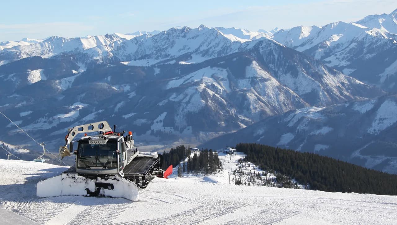
Higher up and further along the ridge, the black runs and steeper reds take over, including the long descents that give the mountain its reputation among confident skiers. Because the summit sits near 2,000 m, the upper terrain holds snow better than the valley runs, so late-season days often mean riding high and downloading rather than skiing to the bottom.
The piste map's own difficulty colouring is the most reliable guide to what suits you. Use it to mark two or three named runs per ability level before you travel, and treat the rest as optional. A plan built around a handful of well-chosen runs beats trying to cover every line on the map in a short break.
The Kaprun Link: How Far Your Map Extends
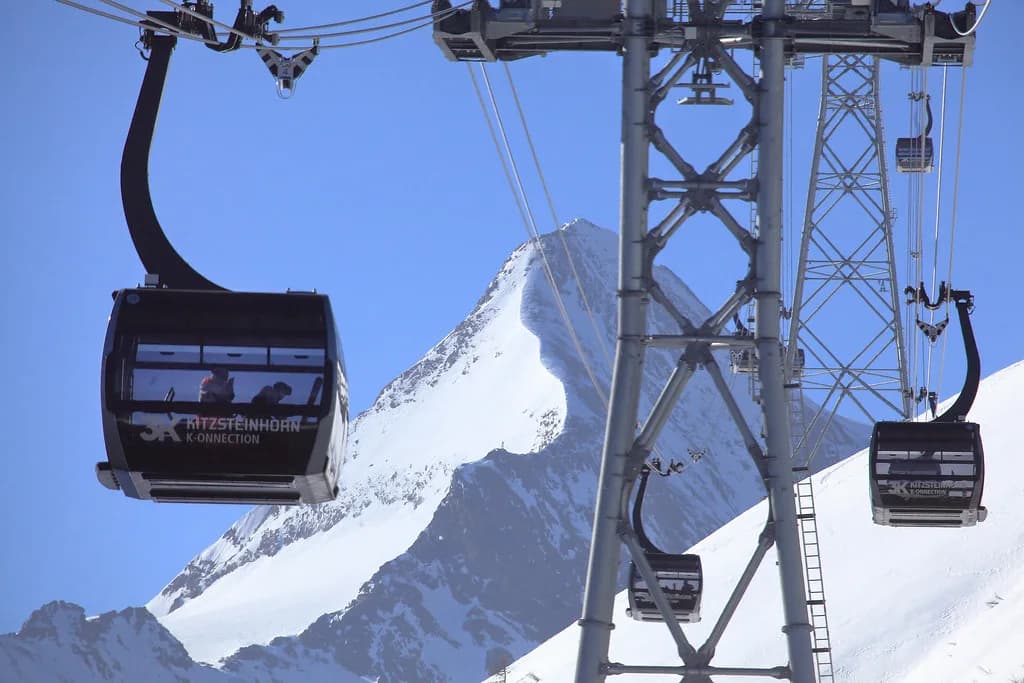
The Zell am See–Kaprun pass extends your skiing beyond the Schmittenhöhe to the Kitzsteinhorn glacier and the Maiskogel above Kaprun village. On the map this reads as a second and third domain reached by bus or car, not as a run you can ski across to. The glacier is the high-altitude option, useful early and late in the season when lower slopes are thin.
The practical trade-off is time. A day on the Kitzsteinhorn means a transfer each way plus the glacier access lifts, so it is rarely worth it for a single day unless you specifically want high-altitude snow or the summer ski option. Two or more days in Kaprun, or a trip weighted towards the glacier, makes the pass far better value.
If you are splitting your stay, read the Kaprun map separately before you commit. Its sectors have their own lift layout and difficulty mix, and the glacier has access rules and operating conditions that differ from a standard valley resort. Plan the split around the weather and the season rather than counting on hopping between areas freely. The Kaprun piste map guide is a good place to start on those sectors.
The Saalbach Hinterglemm Link and When the Wider Pass Pays
Saalbach Hinterglemm is a large, modern circuit on the other side of the ridge, and it appears on the same lift pass rather than on the Schmittenhöhe piste map. It adds a big network of linked runs and a very different ski-town atmosphere. For a week, one or two days there makes a good change of scenery; for a two-day trip it is wasted travel.
The broader coverage is what makes the regional pass worth considering for longer stays. If your plans are a few relaxed days of blues and reds above the lake, the local Schmittenhöhe terrain is enough and you can keep your planning simple. The wider ticket becomes the sensible choice when you want variety, a glacier day and a Saalbach excursion in the same week.
Coverage is set by the ticket you buy, so compare the pass tiers before you commit and check the current product details on the official site rather than relying on last season's assumptions. Our Zell am See Ski pass breakdown sets out how the bands differ and what each one unlocks.
Lifts on the Schmittenhöhe: What the Mix Means for Routing
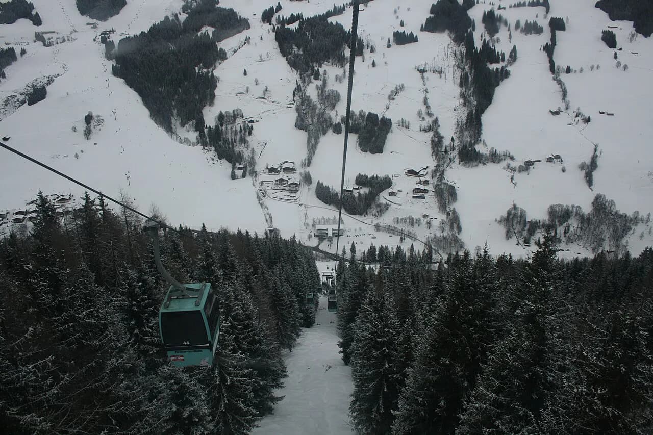
Seven gondolas, ten chairlifts and seven draglifts is a lift mix that shapes how you move around the map. Gondolas and chairs do the heavy lifting from the valley and link the main sectors, so most of your day will flow along those corridors. The draglifts tend to serve shorter pitches and higher, more open terrain where a surface lift makes more sense than a chair.
For planning, mark the gondola stations as your meeting points. They are easy to find, they appear clearly on the map and they give you a clear route back to town if the weather turns or the group splits. Avoid arranging to meet at the top of a draglift: the queues there are slower and the exits less obvious.
A sensible route back to Zell am See or Schüttdorf at the end of the day follows the main gondola corridors down rather than committing to a long lower run that may be slushy or closed. Read the map with the valley stations in mind and you will rarely get stuck.
Beginner Zones: Where to Base Yourself on the Map
The 30 km of blue piste gives beginners plenty of room, and much of it sits on the lower, gentler ground near the valley stations and the Schüttdorf side. Starting near those lifts means short laps on easy terrain and an easy exit if confidence dips. The town end of the mountain is the natural first-day base.
Book Zell am See ski lessons to match the map rather than the other way round. Lessons based out of Zell am See will usually make use of the closest beginner terrain, which saves you a transfer and lets you practise in the afternoon on the same slopes you learned on.
Sorting out ski hire locally keeps the first morning simple, and picking up gear near your base means you can walk to the lift rather than load skis onto a bus. Book ahead in peak weeks, when the town's rental shops fill quickly.
Getting the Official Map and Keeping It Current
Zell am See–Kaprun publishes an interactive piste map for the area, and that is the version to use on the day. It shows the lift and run network in a form that can be checked against live status, which a printed or downloaded plan cannot do. Open it on your phone before you leave your accommodation.
For planning at home, a printed map or a downloaded PDF is still useful for spreading out on the table and working through route options with your group. Interactive versions are the ones to trust for current conditions; paper versions are for decision-making before the trip.
Independent resort guides and webcam pages can help fill in the atmosphere and practical context, though they may lag behind the official Zell am See–Kaprun map on seasonal detail. Use them to build your shortlist of runs and sectors, then confirm anything time-sensitive against the official Zell am See–Kaprun material closer to departure.
Reading the Map Off the Snow: Meetings and Routes Home
Lift and run names are the shared vocabulary of a ski day. Pick a named station rather than 'the top' as your meeting point, and teach the group one or two landmarks visible from the map: the main gondola mid-station, the valley base, the ridge that separates the town side from Schüttdorf. That is enough to regroup without phones.
Agree a route home before you split up. The valley runs back to Zell am See are straightforward when open, but late-day slush and lift closing times make the gondola descent the safer default. Getting that decision out of the way in the morning saves an hour of standing around at three o'clock.
Map-Led Decisions for a Short Trip
For a three- or four-day trip based in Zell am See, give the Schmittenhöhe two full days: one to explore the blues and reds above the town and Schüttdorf, one to push into the steeper upper terrain. If snow is good, take a day on the Kaprun side, choosing between the glacier and the Maiskogel depending on the season and the group's appetite.
A longer stay opens up the Saalbach excursion and makes the regional pass easier to justify. The trade-offs are simple: more terrain versus more time in buses and cars, and a glacier day versus a relaxed local day. Be honest about how much moving around your group enjoys.
Before you travel, compare pass products on the official Zell am See-Kaprun site, book lessons and rental gear for the busiest weeks, and choose accommodation based on which mountain you want closest. Check current prices and dates on the official site as your trip approaches, then let the map do the rest.
Plan Your Visit
The Zell am See ski map rewards a little homework. Read the Schmittenhöhe split by difficulty, note the lift corridors and valley stations, and mark your meeting points before you arrive. Then decide, with your group, whether the Kaprun and Saalbach links are worth the extra travel time or whether the local terrain already gives you what you came for.
Get the ticket to match that plan, book lessons and kit early for peak dates, and keep Zell am See–Kaprun's interactive map to hand on the day. A short break planned around the map's real boundaries will ski better than one built on the combined regional total.
Frequently Asked Questions
Does the Zell am See ski map include Kaprun?
Not as lift-linked terrain. The piste map in Zell am See is primarily the Schmittenhöhe, the mountain above town. Kaprun's Kitzsteinhorn and Maiskogel sectors are separate areas reached by bus or car, though the Zell am See–Kaprun pass covers them. Saalbach Hinterglemm is likewise a separate circuit within the wider pass.
How many kilometres of piste are on the Schmittenhöhe?
The resort's piste-map information lists 77 km of piste on the Schmittenhöhe: 30 km of blue, 28 km of red and 19 km of black. The broader map quotes 138 km of slopes for the whole Zell am See–Kaprun area, which is a different and larger figure.
What is the altitude range of the Zell am See ski area?
The Schmittenhöhe terrain runs from a valley base at 757 m to a summit around 2,000 m, according to the resort's piste-map information. The upper area holds snow better than the valley runs, which matters late in the season.
Where can I get a Zell am See piste map PDF?
The operator's own site is the place to look for a downloadable version, and the interactive map is the one to use on the day. Paper maps are usually available locally at lift stations and rental shops. For Kaprun's sectors, use a separate Kaprun map when planning days there.
Is the Saalbach ski area included on the Zell am See lift pass?
Saalbach Hinterglemm is covered by the wider regional pass rather than by the local Schmittenhöhe ticket. Compare the pass tiers before you buy, and check the current product details on the official site, because coverage depends on the ticket you choose.
Which sector of the Zell am See map is best for beginners?
The lower, gentler blue terrain near the valley stations, including the Schüttdorf side, is the easiest place to start. The area directly above town keeps you close to the lifts and the town itself, which simplifies first-morning logistics.
Sources
Useful notes for your next ski trip
Optional updates to our Alpine resort guides.
You might also like
Continue reading
More guides you'll find useful