Val Thorens Ski Map: Pistes, Sectors and 3 Vallées Links
Read the Val Thorens piste map properly: two ski areas, linked 3 Vallées sectors, altitude, beginner zones and live lift status checks.
On this page
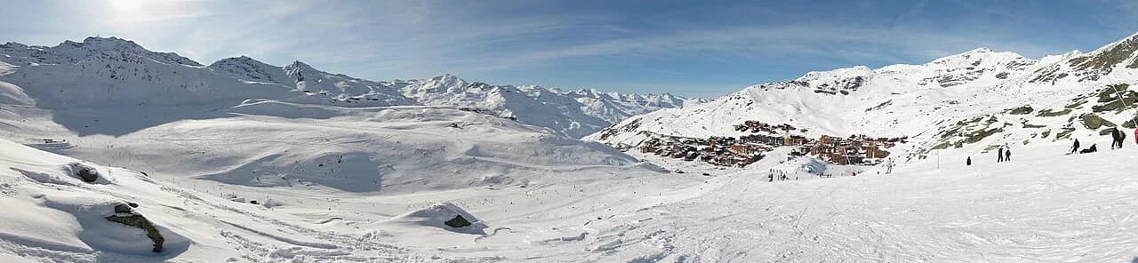
The Val Thorens ski map is deceptively simple: a resort that spreads across a high cirque, wrapped around a village where you clip in at the door. What catches most skiers out is that the paper or PDF in your pocket shows two overlapping products, a local area and a much bigger one, and the day you plan depends on which of them your pass unlocks.
This guide walks through what the map actually covers, which named sectors are worth building a day around, where beginners should head, and how to check piste and lift status before committing to a long link. It is a planning tool, not a substitute for the official map itself: download that from the lift company and carry it with you.
What the Val Thorens Piste Map Actually Covers
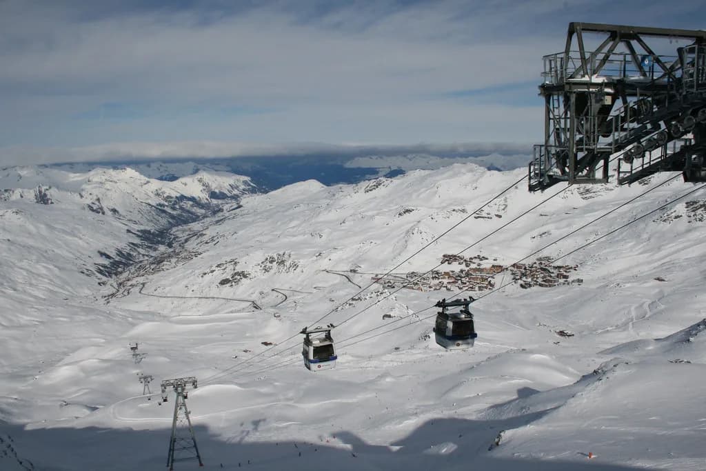
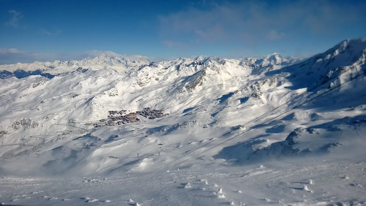
Every Val Thorens piste map shows the resort at the head of the Belleville valley, sitting at the point where the local ski area runs over the ridge into Orelle in the Maurienne. That local domain is its own product, and it is what your first map choice hinges on. The wider 3 Vallées network, which links to Les Menuires, Saint-Martin-de-Belleville, Méribel and Courchevel, appears on the same sheet but is a separate pass tier.
The resort's own description puts the local Val Thorens–Orelle area at 150 km of slopes and the full 3 Vallées at more than 600 km. Both are skiable from the village without a bus, which is unusual and useful: the map is a guide to sector choice rather than a guide to getting to a lift base. Our Val Thorens ski guide covers the wider planning picture, from accommodation to lessons, if you are still deciding how the week fits together.
The 3 Vallées organisation publishes separate piste maps for each of its resorts alongside the combined network map, so you can download the Val Thorens sheet and the full-area sheet side by side. Do that before you travel: it makes the difference between the two pass tiers obvious in a way that a single glance at a wall map does not.
Val Thorens in Numbers: Why Altitude Shapes the Map
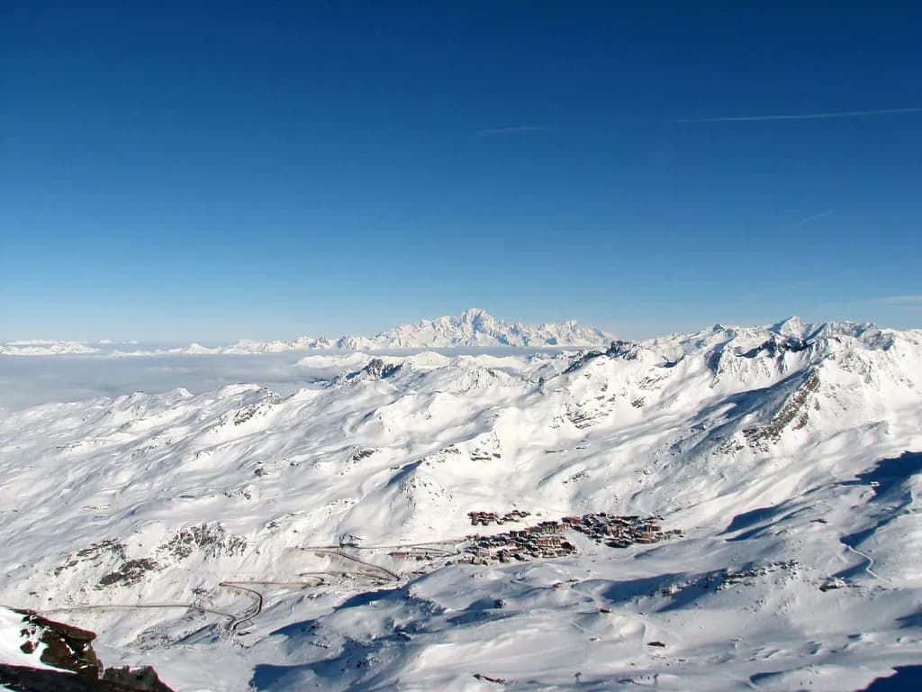
Val Thorens describes itself as the highest resort in Europe and the highest point of the 3 Vallées, with 99% of its domain above 2,000 m and terrain framed by six glaciers. That altitude is not a marketing flourish: it explains why the local area can open in November and keep skiing into early May when the lower valley resorts have closed. On the map, the high ground around the cirque is the terrain that stays in play at both ends of the season.
The high point is Cime Caron at 3,200 m, reachable by lift rather than by booting up a ridge, which puts a genuinely panoramic summit within reach of ordinary holiday skiers. Treat the summit as a destination in its own right: a clear day there is worth an hour of your itinerary, and it is also a useful map reference point when you are working out which side of the resort you are on.
The practical consequence of that altitude is that snow reliability on the marked network is rarely the reason a run is shut. Wind, lift maintenance and link closures are more common culprits, which is exactly why the live status page matters more than the static map once you are on the hill.
The Two-Pass Decision: Local Area or Full 3 Vallées
Your first map decision is really a pass decision. The Val Thorens–Orelle pass unlocks the local 150 km domain; the 3 Vallées pass adds the linked network through Les Menuires and Saint-Martin-de-Belleville to Méribel and Courchevel. If you are in resort for a short break, skiing mainly with beginners, or focused on the high local terrain, the local pass covers everything on your list.
Choose the full 3 Vallées pass when the point of the trip is the traverse: long linked days, a different valley for lunch, and the satisfaction of skiing from one end of the network to the other. The trade-off is cost and complexity. A full-area day demands more planning and a stricter weather eye, because a closed link on the far side can strand you a long way from your chalet.
A sensible pattern for a week is to buy the wider pass but spend the first and last days locally. You learn the village terrain and the lift rhythm at the start, and you avoid a stressful transfer day at the end when legs are tired and the weather may have turned.
Named Sectors on the Map and What Each Is For
Cime Caron and the Caron 3200 building at the summit are the map's headline. The building has grown into a proper high-altitude stop with a 130-seat restaurant, a wine bar, a rooftop snack bar and panoramic terrace, a boutique and an events space, so a summit run can end in a long lunch rather than a quick photo. Ski it on a clear day and treat the descent as the main event.
The Péclet Glacier sector is the other landmark the map makes obvious. It sits high on the western side of the cirque and gives the resort its distinctive glacier views; it is the area to aim for when you want the scenery and the sense of altitude that Val Thorens sells. Check its status first on windy days, as exposed high terrain and lift operation do not always agree.
Boismint and the Orelle side complete the local picture. Boismint is the working sector you will pass through on the way down towards the Maurienne, while the Orelle lifts climb back out of a valley that feels noticeably quieter than the main resort. If you want a half-day away from the crowds without buying a wider pass, this is the direction to point yourself.
Beginners, Families and the Ski-In/Ski-Out Layout
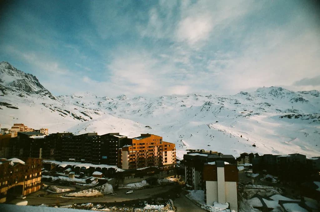
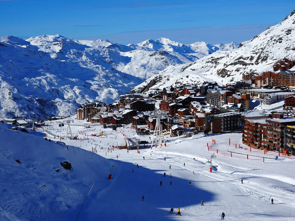
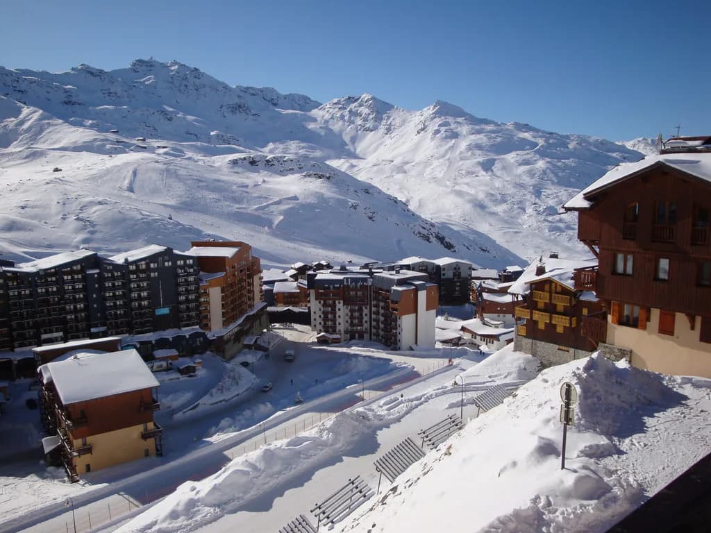
Val Thorens is a ski-in/ski-out resort, which changes how you use the map. You are already on snow when you leave the door, so the map is not about finding a lift base or a shuttle stop; it is about which direction to set off in and how far to commit before turning back. Families should establish the nearest gentle return route to the village on day one.
The resort publishes dedicated beginner and family information alongside its ski school pages, and the ski schools are the people who know which zones are calmest at which time of morning. Book Val Thorens ski lessons before you arrive and ask which meeting point your group uses: that single detail sorts out your first morning far more efficiently than studying the piste map at breakfast.
Hire is the other pre-map task. Fit skis and boots before your first lesson rather than on the morning of it, and check whether your chosen shop offers a village-centre branch or an in-chalet fitting, since the ski-in/ski-out layout makes carrying equipment a short but real walk.
Reading the Map by Ability
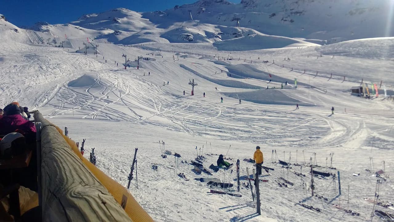
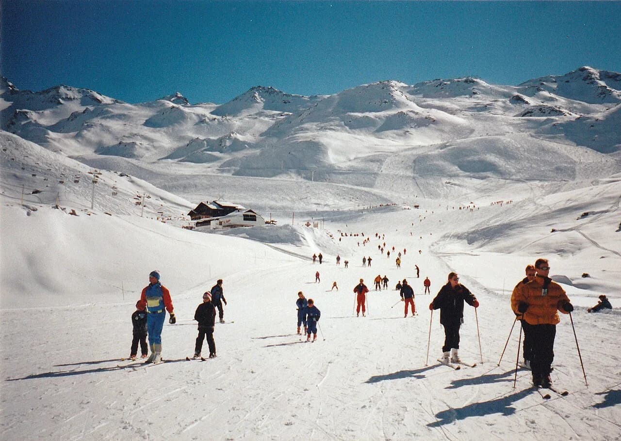
First-timers should stay close to the village on the gentle return runs and let a ski school take the lead on progression. The altitude works in your favour here: the beginner zones sit high, so early-season and late-season learning is realistic in a way it is not at lower resorts. Do not be tempted onto the summit lifts until you can link turns comfortably on the terrain below.
Intermediates have the widest choice and the most to gain from a plan. The local area gives you a full day of cruising without ever needing the wider pass, and the Caron 3200 summit run gives you a proper high-point objective with a restaurant at the top. Build a loop that returns you to the village from whichever side you choose, so you are never guessing at the last lift.
Advanced skiers should look at the map differently again: the glacier terrain, the snowpark and the marked touring and off-piste options all start from the same high base. If you want to go beyond the marked network, the resort points skiers towards guided off-piste outings and the daily avalanche bulletin, and those should come before any route planning on the map.
Planning the 3 Vallées Links Before You Set Off
The link routes between valleys are what make a 3 Vallées day different from a big local day, and they are also the part of the map most sensitive to timing. Plot your intended route the evening before, identify the lift that commits you to the return leg, and give yourself a buffer: a closed link on the Méribel or Courchevel side turns an ambitious day into a long lift-and-piste mission home.
The 3 Vallées app carries live run and lift openings inside the ski area, which is the practical tool once you are on the move and the printed map has stopped helping. Download it before you travel and check it over breakfast, when you can still change the plan cheaply rather than at the top of a link lift.
Season Dates: Two Calendars on One Map
The local Val Thorens–Orelle area is published as open from 21 November 2026 to 2 May 2027, while the wider 3 Vallées network runs from 5 December 2026 to 18 April 2027. That gap matters when you are booking: a late-April or early-December trip will find the high local terrain running while the long-distance links are shut, which changes the pass worth buying.
The 3 Vallées organisation publishes the same dates and confirms that Val Thorens and Orelle extend the network's season at both ends. Check the calendar again close to booking, since published dates are plans rather than guarantees, and lift-company decisions nearer the time can shift what actually opens on day one.
Pass Products, Prices and Where to Buy
Val Thorens sells both the local and the full 3 Vallées pass, and the network's published range includes family, adult, child and veteran products of different durations. The 3 Vallées organisation lists, for the 2026/2027 season, a six-day adult solo pass at €421 and a six-day child solo pass at €345, alongside a five-day family flex product from €345 per person and a six-day veteran pass at €105. Prices change each season, so confirm the current figures on the official lift-pass page before you budget.
Buying online before you travel is the standard advice for a reason: it removes a ticket-office queue from your first morning and lets you start skiing as soon as the lifts turn. The 3 Vallées organisation makes the same point and offers online purchase for its own passes, and the Val Thorens ski pass options cover the local alternative if you decide the wider network is more than you need.
The lift company publishes rates, piste maps and ticket-office opening hours as separate downloads each season, and the documents for the new season appear alongside the previous year's in the interim. Check which year's document you have opened before you rely on it for a price or a time.
Ski Schools, Hire and Kit Before You Look at the Map
Sort lessons and equipment before you study the piste map, because both determine where you start each day. Group lessons give you a meeting point and a sector; private guiding gives you a route through terrain you would not find alone. Either way, ask for the meeting location in the village and match it to your accommodation.
On hire, booking ahead matters most in peak weeks and at the season's edges, and our Val Thorens ski hire notes flag the named branches worth checking before you commit. If you are bringing your own skis, check what your accommodation offers for storage, since the ski-in/ski-out layout usually means a short walk in boots rather than a locker room at a lift station.
Getting There and Getting Around
The practical approach is by road up the Belleville valley, with the resort sitting at the top of the climb and the local road status published by the tourist office during winter. Check the road information before you travel on a transfer day, especially after a snowfall, and allow for the possibility of chain or snow-tyre requirements on the final stretch.
Once in the village, the resort runs free shuttles and publishes a resort map, which is useful for the parts of the day that do not involve skis: reaching a restaurant, a shop or a ski school meeting point. The ski-in/ski-out layout keeps lift access simple, so the shuttle matters more for evenings than for mornings.
Live Status Tools That Beat the Printed Map
A static piste map tells you what exists; the live status page tells you what is running today. The resort publishes real-time information on slope and lift openings alongside snow conditions and webcams, and the 3 Vallées organisation carries a similar live feed across the whole network. Check both when a link day is on the plan.
Webcams are the quickest sanity check on visibility and snow cover before you commit to a high-altitude objective. On a cloudy day the summit can be a whiteout while the village is clear, and a two-minute look at the cameras can save you an hour of fighting the wind at 3,000 m.
The resort also runs a powder alarm service for fresh-snow days, which is the one occasion when a plan made the night before should be thrown out in favour of wherever the snow fell. Sign up before you travel if you want that nudge on the morning it matters.
Common Map Mistakes That Cost Skiing Time
The most expensive mistake is assuming one pass covers everything on the sheet. The local and wider networks share a map but not a ticket, and discovering that at a link lift is a costly way to lose a morning; decide your pass tier before you buy, not on the mountain.
The second is treating the summit as a morning warm-up. Cime Caron and the glacier terrain suit settled weather and fresh legs, and building them into the middle of a day rather than the first hour gives you a better chance of clear views and open lifts.
The third is leaving the wider network to improvisation. Long traverses work when you have a route, a turnaround time and a live status check behind you. Without those, you spend the afternoon watching the clock rather than the scenery, which is the same trap that catches skiers reading an Alpe d Huez piste map guide for the first time.
Verdict: Who the Val Thorens Map Suits Best
The Val Thorens map rewards skiers who like a high, compact base with genuinely varied objectives on the doorstep. Families and first-timers get gentle terrain and a village you can ski back to; intermediates get a full local domain and a summit day out; advanced skiers get glacier terrain, a snowpark and a wide network on the higher pass.
If your trip is mostly about the long traverse and the linked valleys, buy the wider pass and plan it deliberately. If it is about convenience, altitude and short winter days on snow, the local area covers more than enough map for a week. Either way, the mountain is the same: only the ticket changes.
Plan Your Visit
Start with the official piste map downloads, decide on the local or wider pass, and only then plan where you sleep, what you book and how you use your days. Add the live status page and the webcams to your phone before you travel, and keep the printed map in your pocket for the parts of the mountain that have no signal.
Sort lessons, hire and travel before you look at the map in detail, because each of them decides where your day begins. The Val Thorens Skiing Guide covers the wider planning sequence if you want it in one place. Do that, and the Val Thorens map stops being a decorative wall chart and starts being the tool that gets you to the right lift at the right time.
Frequently Asked Questions
Where can I download the Val Thorens piste map?
The lift company publishes the Val Thorens–Orelle piste map, the 3 Vallées piste map, ticket-office hours and a beginner-friendly EasyRider map as separate downloads on its maps and schedule page. New-season documents are added alongside the previous season's, so check which year you have opened before you rely on it.
Does a Val Thorens lift pass cover the whole 3 Vallées?
Only if you buy the wider 3 Vallées product. The local Val Thorens–Orelle pass covers roughly 150 km of slopes, while the 3 Vallées pass adds the linked network through Les Menuires, Saint-Martin-de-Belleville, Méribel and Courchevel. Decide which tier you need before you buy, because the two share a map but not a ticket.
When does the Val Thorens ski season start and finish?
The published plan for 2026/2027 runs the local Val Thorens–Orelle area from 21 November 2026 to 2 May 2027, while the wider 3 Vallées network opens on 5 December 2026 and closes on 18 April 2027. That gap matters for early-December and late-April trips, when the high local terrain can be running while the long-distance links are shut.
How much is a ski pass at Val Thorens?
Prices are set each season and vary by product and duration, so the figure to budget from is the one on the official lift-pass page at the time you book, where the current rates for local and full-area passes are listed side by side. The longer you buy for, and the earlier you buy it, the more the per-day cost usually falls.
Which sectors should I aim for on the Val Thorens map?
Cime Caron and the Caron 3200 summit building are the headline high point, the Péclet Glacier gives the resort its scenery, and Boismint and the Orelle side offer a quieter half-day within the local pass. Beginners should stay close to the village on the gentle return runs and let a ski school set the pace.
Do I need a car in Val Thorens?
No. Val Thorens is a ski-in/ski-out resort, so you clip in at your accommodation rather than driving to a lift base, and the village runs free shuttles for evenings and non-skiing errands. Most skiers arrive by road transfer up the Belleville valley and check the published road status before travelling on a snowfall day.
Sources
Useful notes for your next ski trip
Optional updates to our Alpine resort guides.
You might also like
Continue reading
More guides you'll find useful