Alpe d'Huez Ski Map: Sectors, Lifts and Pistes Explained
Use the Alpe d'Huez piste map to plan your ski day: 250 km of runs, 111 marked pistes, the Pic Blanc top station and how to read lift symbols.
On this page
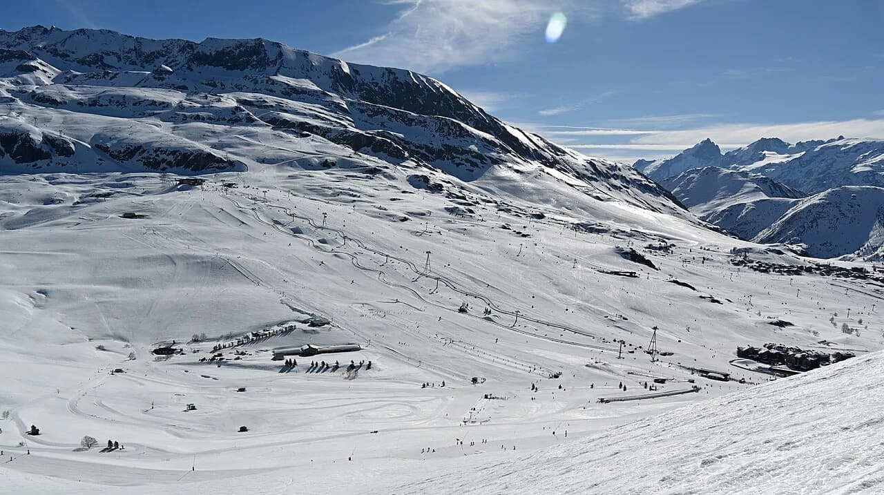
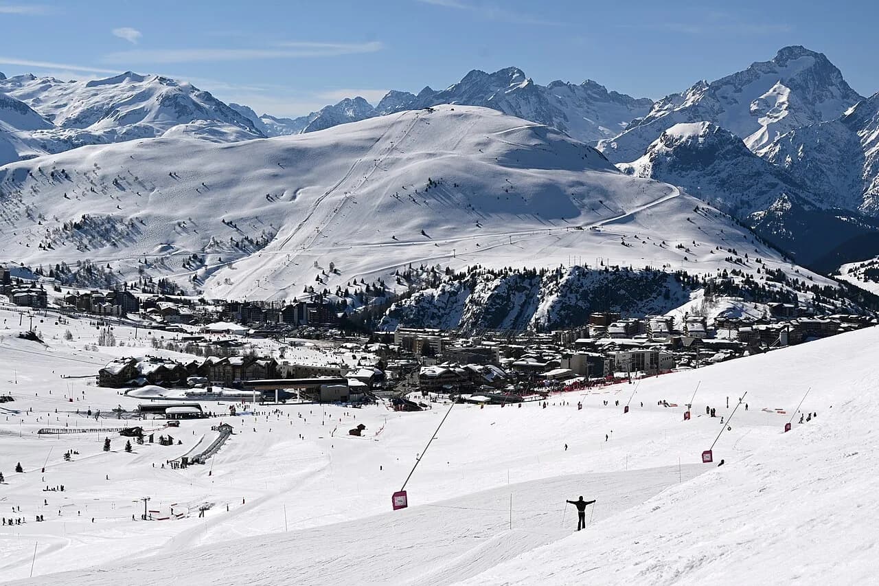
The Alpe d'Huez piste map is a working document, not a souvenir. It shows 250 km of piste between 1,300 m and 3,330 m at Pic Blanc, with 111 marked runs split into 34 green, 31 blue, 30 red and 16 black, plus the lifts that tie them together.
Read it before you book accommodation, because where you sleep in the resort changes which lift you queue for first. The main station is made up of eight districts, and the map plus the town layout together explain why two skiers in the same resort can have completely different mornings. This Alpe d huez ski guide puts the map into the wider context of passes, terrain and booking decisions.
What the Alpe d'Huez piste map covers
The headline figures are simple: 111 marked pistes across 250 km, from 1,300 m up to 3,330 m at Pic Blanc. Alpe d'Huez Tourisme breaks that down into 34 green runs, 31 blue, 30 red and 16 black, which tells you the area is weighted towards cruising rather than expert terrain.
That altitude range matters more than the kilometre count when you are choosing a week. The upper mountain holds snow when lower slopes soften, while the lower runs make up a large share of the beginner and return-to-base terrain. On a warm spring afternoon you will notice the difference between the two ends of the map.
The ski area publishes several versions of the same map: the full ski area plan, a beginner piste map, a pedestrian and Nordic map, and a fun slopes map. Downloading the beginner and fun slope versions alongside the main plan is worth the effort if you are travelling with mixed abilities or young children.
How the resort is laid out: eight quartiers
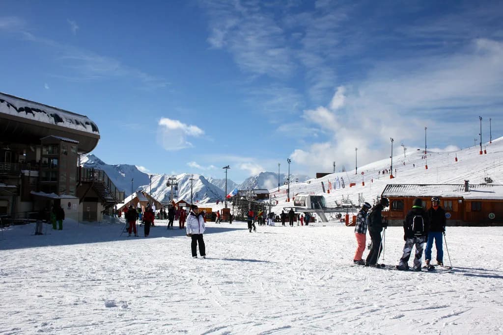
The main station is split into eight districts: Huez Village, Cognet, Jeux, Bergers, Eclose Est, Eclose Ouest, Viel Alpe and Outarts. They sit at different points on the mountain, so your apartment address effectively decides your home lift and your first run of the day.
The practical consequence is that the piste map is not a single hub-and-spoke diagram. Skiers based near one district may reach the Pic Blanc cable car quickly, while others start the day with a couple of connecting lifts before they touch the high-altitude terrain. Check where your accommodation sits against the lift lines before you commit.
Huez Village sits lower down the mountain, which makes it a different proposition from the upper station districts in terms of morning access and end-of-day return. The map shows the lift connections rather than travel times, so treat the published plan as a layout guide and confirm access from your specific base with your accommodation.
Reading the lift symbols
The piste maps mark lifts with straight black lines and short codes: TK for téléski (drag lift), TS for télésiege (chair), TC for télécabine (gondola) and TPH for téléphérique (cable car). Anything labelled express is a fast six-person chair, so it moves more people per hour than a standard chair.
Decoding those letters changes how you plan. A TPH or TC gets you up fast and out of the weather, a TS express is your workhorse for racking up vertical, and a TK drag is usually a short link or beginner slope where snow conditions are marginal. Look for the express label when you are trying to reach a distant sector quickly.
Many lifts have detachable chairs and faster loading, which matters on peak weeks when queues build. The map does not show queue times, so treat lift type as a proxy for throughput and check live lift status on the morning you ski.
The high-altitude core: Pic Blanc and 2,000 m of vertical
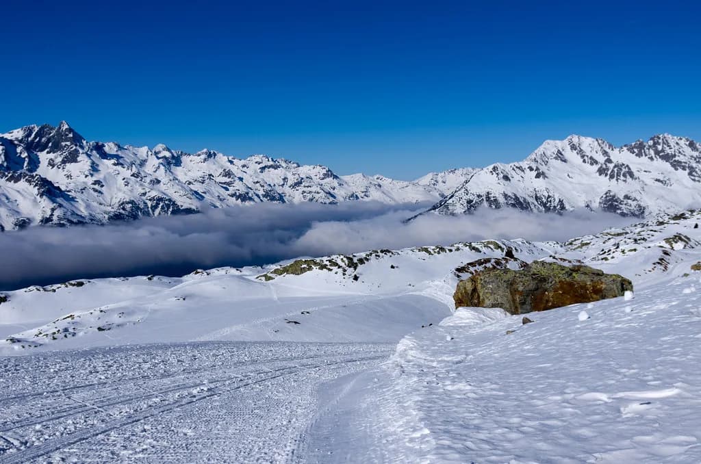
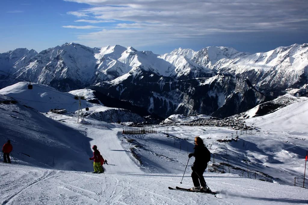
Pic Blanc at 3,330 m is the top of the area and the reason the map is worth studying. The drop from there back to the lower slopes is 2,000 m, which gives you long, continuous descents rather than short laps, and the ski area presents the summit as the area's altitude experience with panoramic views across the Alps.
The catch is weather. At that height, wind and cloud can close the upper lifts while the lower mountain runs normally, so the high-altitude core should be a bonus on your itinerary rather than the fixed centre of it. Build a lower-mountain plan for the same day and check lift openings before you head up.
The map is also south-facing, which the ski area highlights as a feature: bright, sunlit skiing through the day. That is pleasant in cold weather but softens snow earlier on sun-exposed slopes, so plan high-altitude descents for the middle of the day and shaded lower runs for early or late.
La Sarenne and the legendary descents
The ski area lists La Sarenne, reached from the top of the area, as Europe's longest black run, and it is the descent most skiers want to tick off. Look for it on the map before you commit: it is a long, sustained run rather than a short steep pitch, so it suits confident skiers with the legs and the time to finish it.
Before you drop in, check the weather, the lift status at the top and the state of the run with ski patrol or lift staff, because a long descent on tired legs in poor light is very different from the same run in the morning. If the top lift is closed, the run is out of reach regardless of what the map suggests.
The black piste count is small at 16, so expert skiers should treat the map as a list of specific objectives rather than a broad expert playground. La Sarenne and the Pic Blanc runs are the headline items; the rest of the time, intermediates and advanced skiers will spend most of their day on the red and blue network.
Beginner zones on the map
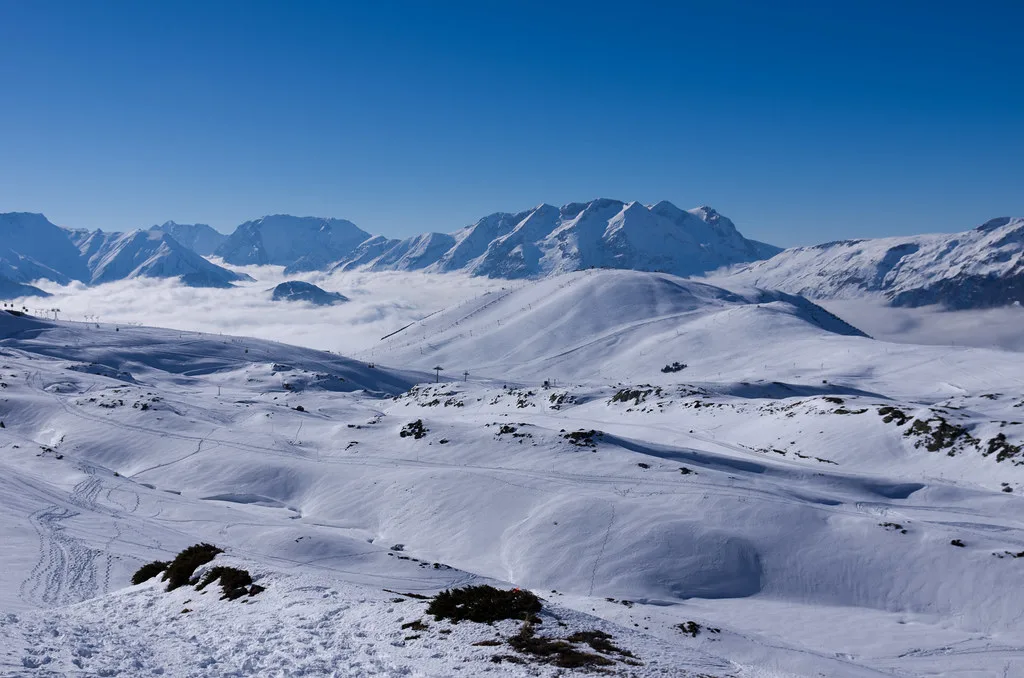
The green and blue terrain is the core of the beginner offer, with 34 green runs and 31 blue runs across the area. The ski area publishes a dedicated beginner piste map showing the learning areas and easier runs, which is the version to hand to anyone making their first turns.
The single most useful thing you can do as a beginner group is pick a base near the learning terrain so that first-timers do not have to navigate a through-route to reach their lesson. Check the beginner map against the district layout, then choose accommodation accordingly rather than booking on price alone.
Book lessons and hire before you travel in peak weeks, when the best morning slots and the most convenient shop branches go first. A short walk to the meeting point in ski boots is a real advantage for beginners and for parents carrying children's equipment, so compare meeting points before you choose a school.
Which sectors suit which ability
The area's shape suggests a clear split. Confident intermediates should head for the red network and the long top-to-bottom descents, families should stay on the blues and greens around the lower station, and experts should target Pic Blanc and La Sarenne on days when the upper mountain is open and clear.
Cruising skiers get the best value from this map, because the blue and red counts dominate and the 2,000 m vertical makes single long runs possible. If your group includes a mix, use the map to split the morning and agree a lunch meeting point that both halves of the group can reach without a long traverse.
Snowboarders should use the same logic and pay attention to the traverses and flat links that join sectors, since drag lifts and long connecting paths are harder work on a board. Matching the planned route to the whole group's equipment avoids the classic afternoon of one person walking.
Linking runs into a day
Use the map to chain descent into lift into descent, and always know which lift takes you back to your base. The risk in an area this large is finishing the day on the opposite side of the valley from your apartment, so pick your final descent in the afternoon rather than at the last minute.
A good routine is to start with a warm-up on the terrain directly above your district, move to the high-altitude core once the lifts are running and the light is good, and return to your base sector before the lifts start to close. The map's sector boundaries make this easy to plan, provided you check the live lift status in the morning.
Keep the day flexible. A closed upper lift or a slow morning can change the shape of the day, so a short second plan built around the blue and red runs near your base keeps the group skiing rather than queuing.
Fun slopes, pedestrian routes and Nordic trails
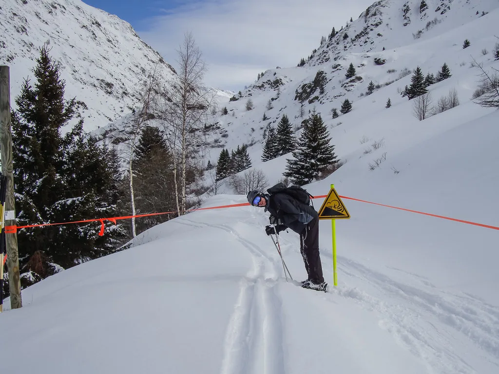
The ski area publishes four fun slopes and freestyle zones across the area, designed for families and for skiers who want something other than a straight descent. The fun slopes map shows the themed areas and features, so pick up that version if you are skiing with children or a group that likes park time.
Non-skiers are not stuck at the flat. The same map set includes pedestrian routes, Nordic trails and snowshoe itineraries, which means a mixed group can meet for lunch on the mountain and still split for the morning. Check the pedestrian map before promising a non-skiing companion a specific viewpoint.
Paper map, PDF or app
Downloading the PDF to your phone before travelling is the most reliable option, because you will have the sectors and lift codes even without signal. Alpe d'Huez Tourisme's download page carries the full plan plus the beginner, pedestrian and fun-slope versions, so take the ones that match your group.
Carry a paper map as well if you plan to ski with children, because a folded map in a pocket survives cold hands and dead batteries. Use the app for live lift and piste openings, and the paper version for the overall picture.
Pick up a pass before the first morning at the lift station rather than queuing in the cold. Check the versions and collection options on the Alpe d'Huez Ski Pass page so the first hour of your trip is spent skiing rather than at a ticket window.
If you are comparing map formats across resorts, the Avoriaz Piste Map guide shows how another French area handles the same problem of explaining sectors, lift codes and live status.
What the map does not tell you
The map does not show snow depth, queue times, closing dates or the price of anything. Check the ski area's site for current lift-pass products and prices, and confirm the season's opening and closing dates before you book travel, since both change from year to year.
Nor does the map tell you where to book lessons or hire skis. Those are separate decisions, best made before you arrive in peak weeks, and the ski hire and lessons pages set out what each option actually covers.
Plan around the map
Treat the Alpe d'Huez piste map as the framework for your trip: 250 km of piste, the highest lifts at 3,330 m at Pic Blanc, long descents and a beginner offer concentrated in the green and blue terrain. Pick your district based on the terrain you want closest, and build each day around the lifts that are actually running.
Sort the pass, the lessons and the ski hire before you travel, then use live status checks on the mountain to decide where to ski each morning. That way the map does the planning and the mountain sets the pace.
Frequently Asked Questions
How many kilometres of piste does the Alpe d'Huez ski map show?
The piste map shows 250 km of piste across 111 marked runs, divided into 34 green, 31 blue, 30 red and 16 black. That ratio tells you the area leans towards cruising terrain rather than expert steeps, so most groups will spend their week on greens, blues and reds with the blacks as set-piece objectives.
What is the highest point on the Alpe d'Huez ski map?
Pic Blanc at 3,330 m is the top of the lift-served area, and the descent from there to the lower slopes gives roughly 2,000 m of vertical. The upper mountain can close in wind or poor visibility while the rest of the area runs normally, so check lift openings before committing to the summit.
Where are the beginner slopes on the Alpe d'Huez piste map?
Beginners should work from the dedicated beginner plan, published alongside the full ski area map, which shows the learning areas and easier runs. Match that plan against the resort's eight districts so your accommodation sits close to the learning terrain and first-timers avoid navigating through-routes to reach a lesson.
What do the lift symbols on the Alpe d'Huez piste map mean?
Lifts appear as straight black lines with short codes: TK for drag lift, TS for chair, TC for gondola and TPH for cable car. Anything marked express is a fast six-person chair, useful when you want to reach a distant sector quickly on a peak week.
Is La Sarenne on the Alpe d'Huez piste map?
Yes. La Sarenne, reached from the top of the area, is listed as Europe's longest black run, and it appears on the main plan as a long sustained descent rather than a short pitch. Treat it as an objective for a clear day with fresh legs, and check the top lift is running before you set off.
Where can you download the Alpe d'Huez ski map?
The official piste map page carries downloadable versions: the full ski area plan, a beginner map, a pedestrian and Nordic map, and a fun slopes map. Save the versions that match your group to your phone before travelling so you have the sectors and lift codes without signal, and carry a paper copy if you ski with children.
Does the Alpe d'Huez piste map cover anything besides downhill skiing?
The same map set includes pedestrian routes, Nordic trails and snowshoe itineraries, plus four fun slopes with themed and freestyle zones. That makes it workable for mixed groups where some people want a mountain walk or a snowshoe morning while others ski, as long as you agree a lunch meeting point in advance.
Can you plan a whole ski day from the Alpe d'Huez piste map alone?
You can plan the shape of the day, but not the conditions. The map shows sectors, lift types and run gradings, while snow depth, queue times, closing dates and lift-pass prices come from the resort's site and live status pages on the day, so build a lower-mountain alternative for days when the summit closes.
Sources
Useful notes for your next ski trip
Optional updates to our Alpine resort guides.
You might also like
Continue reading
More guides you'll find useful