Avoriaz Ski Map: How to Read the Pistes and Portes du Soleil
Read the Avoriaz piste map with confidence: sectors from Arare to Lindarets, Portes du Soleil links, lift codes and how to check live openings.
On this page
Avoriaz sits at 1,800 m in the Chablais massif of Haute-Savoie, a car-free village built directly on the snow and placed at the centre of the Portes du Soleil. That position is what makes its piste map unusual: one sheet covers both a compact local ski area and the gateways to a cross-border network shared with Switzerland. Learning to read it properly saves you from buying the wrong pass or skiing the wrong sector on a poor-visibility morning.
This guide walks through the printed layout, the lift abbreviations, the sectors that suit each ability, and the tools that tell you what is actually open on the day. It sticks to what the resort operator and the local tourism bodies publish rather than describing any particular day on the hill.
What the Avoriaz Piste Map Actually Covers
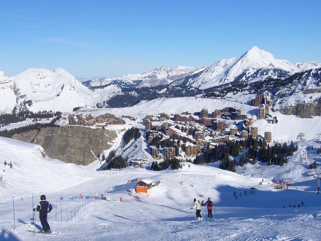
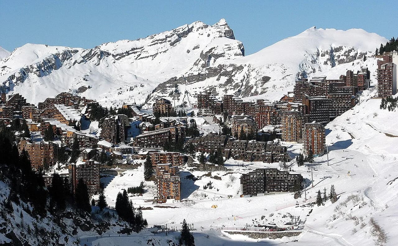
The official domain page describes Avoriaz as a pedestrian resort whose snowy streets and ski-in, ski-out buildings put you on the snow at your door. The map reflects that: the village sits in the middle of the sheet, with lifts radiating out to the surrounding sectors rather than a single base station serving everything.
Avoriaz publishes a downloadable piste plan for the Avoriaz domain alongside a separate Portes du Soleil plan. The local sheet carries the Avoriaz, Les Lindarets, Ardent, Les Prodains and Super Morzine areas together with Morzine and Montriond, plus named high points such as Fornet, Les Hauts Forts and Pointe des Mossettes.
For planning purposes, treat the local plan as your day-to-day tool and the Portes du Soleil plan as a wide-view reference. The second becomes useful when you intend to cross into Switzerland or push towards Châtel, because those journeys leave the Avoriaz sector entirely.
The Numbers: Avoriaz Sector Versus Portes du Soleil
The resort's own figures for the Avoriaz domain are 35 lifts and 54 pistes: 8 green, 27 blue, 14 red and 6 black. Those numbers describe the local sector only, and they are the ones that matter if you are skiing a sector-restricted pass or staying close to the village for a short break.
The wider Portes du Soleil total is a different scale altogether: 12 linked resorts between France and Switzerland, roughly 600 km of piste, 308 pistes and 209 lifts. Blurring the two sets of figures is the most common mistake in map guides, and it leads skiers to overestimate how much ground a local pass unlocks.
Morzine's tourist office quotes 78 km of marked piste for Avoriaz itself, a reminder that even the local area is substantial rather than a handful of runs. Use the 54-piste count for run difficulty and the kilometre figure for scale when you are deciding how many days to allocate.
Sector by Sector: Where You Are on the Sheet
Think of the map as a ring around the village. Proclou and Tour sit closest to Avoriaz and feed the gentler terrain and the link towards Les Lindarets; Super Morzine connects down towards Morzine; Fornet and Les Hauts Forts anchor the higher, more demanding end; Arare serves the freestyle and steeper ground; Chavanette faces Switzerland. If you like comparing how a resort lays out its sectors, this Alpe d'Huez Ski Map breaks down a similarly ring-shaped domain.
The tourist office characterises the terrain as graded by sector: accessible descents around Proclou, technical challenges around Chavanette and Fornet, and the Mur Suisse on the Swiss side as one of Europe's hardest runs. Matching your day to a sector rather than chasing kilometres is how the map earns its keep.
Les Lindarets is the hinge of the local map: it is the village where several flow routes converge and the point from which the Chaux Fleurie lift opens the way towards Châtel. If your plan includes a French-side day out beyond Avoriaz, you will pass through this sector.
Reading the Symbols: TK, TSF, TSD, TC and TPH
The printed legend defines five lift abbreviations. TK is a téléski or surface drag lift, TSF a fixed-grip chairlift, TSD a detachable high-speed chairlift, TC a télécabine or gondola, and TPH a detachable high-speed cable car. Learning these four letters tells you whether a connection will be quick or slow before you commit to it.
The colour key runs green for easy, blue for moderately difficult, red for difficult and black for very difficult, exactly as on most French maps. A route that strings together several TSD lifts will move you across the domain far faster than one relying on TK drags, which matters when you are trying to reach Switzerland and return the same day.
Use the legend to sanity-check any proposed loop: a black run feeding a TK is a different proposition from the same gradient served by a high-speed chair. That reading habit is what separates a realistic itinerary from an optimistic one.
Which Sectors Suit Which Ability
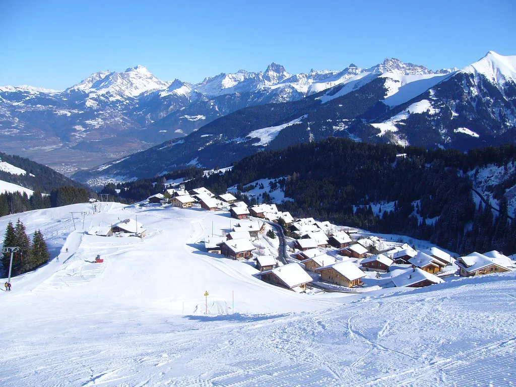
Beginners have genuine terrain from the village itself. Avoriaz notes numerous green and blue runs leaving the resort, and Lil'Stash, with its treetop huts and free-to-use barbecues, is reachable on a green and a blue from the resort. That combination makes the lower sectors a sensible base for first days on snow.
Intermediate skiers should look at the blue-heavy middle of the map: 27 blue pistes in the local sector give plenty of cruising without repeating yourself, and the Lindarets and Proclou areas link easily into longer circuits. Stronger skiers gravitate towards Fornet and Chavanette for the 14 red and 6 black runs, with the Mur Suisse reserved for those genuinely comfortable on steep, committing ground.
If you are booking lessons, the ski school's own guidance links course level to pass choice: children up to second-star level and adult beginners or class-one skiers are pointed towards the Avoriaz pass, while higher levels move to the Portes du Soleil pass. That is a useful proxy for which half of the map you will actually use in week one.
The Portes du Soleil Connections Drawn on the Map
The Avoriaz piste map summarises two named corridors off the Avoriaz sheet. Towards Châtel, you work through the Les Lindarets sector and take the Chaux Fleurie lift, which puts the Châtel ski area on the far side of the ridge from its arrival station. Towards Switzerland, one option runs via the Chavanette sector to the Mur Suisse or the adjacent Chavanette chair, and another heads through Les Lindarets to the Mossettes lift and on towards Champéry-Crosets.
Both crossings require a Portes du Soleil pass rather than a local Avoriaz product, which is the detail that catches people out at the lift. Decide before you buy whether your trip includes a Swiss or Châtel day, and compare how the Avoriaz Ski pass products split between the local sector and the full network.
Allow real time for the return leg. A crossing that looks short on paper involves several lifts and a change of sector, and weather can close upper links while lower terrain stays open. Build the crossing into the middle of the day rather than the last hour.
Freestyle and Play Zones Marked on the Plan
The map marks four snowparks and a set of playful zones rather than a single terrain park. Arare and La Chapelle are the technical snowparks, The Stash is the famous wooded freeride-style course, Lil'Stash is its family-friendly counterpart, and the DVA Park is the avalanche-transceiver training area. For park skiers this is the part of the sheet worth studying first.
The Avoriaz domain also lists four snowcross courses, which are marked as secured but not groomed. Read that distinction carefully: they are on the map, but they are not piste in the usual sense, and they suit riders who are comfortable with variable snow rather than families cruising greens.
Getting the Map on Your Phone
Avoriaz publishes an interactive 3D map that layers live lift and piste status, difficulty, altitude and conditions onto the terrain, so you can zoom into a sector and see what is running. The Avoriaz Up and Down app adds real-time openings, waiting times, weather and the piste map in one place, and the tourist office runs a WhatsApp channel for lift and road updates.
Webcams covering Le Fornet, Arare, Les Lindarets and Grand Conche give a visual check before you leave your apartment, which is often more informative than a status icon. Screenshot the sector you plan to ski the night before so you are not squinting at a phone in the cold.
A paper plan still has a place at lunch, when gloves are off and batteries are flat. Pick one up at the lift ticket offices or the tourist office, and keep it in a jacket pocket as a backup to the app.
Season Dates and Checking Conditions Before You Travel
The published dates for the 2026/27 winter run from 11 December 2026 to 18 April 2027, as listed by both Avoriaz and the Morzine-Avoriaz tourist office. Treat them as the planned season envelope rather than a guarantee of every lift running from day one, since early-season openings depend on snow.
Avoriaz's snow report is updated each morning before 8am by the SERMA teams, using measurement points at 1,800 m and 2,200 m chosen with Météo France. It is the authoritative source for what has fallen and what is open, and it links through to the avalanche bulletin for the Chablais area.
For lift hours and daily openings, use the official hours and openings page rather than a static map, and check current pass prices on the Avoriaz site when you are ready to buy. Those are the two things that change most between seasons.
Practical Layout Notes for Map Reading
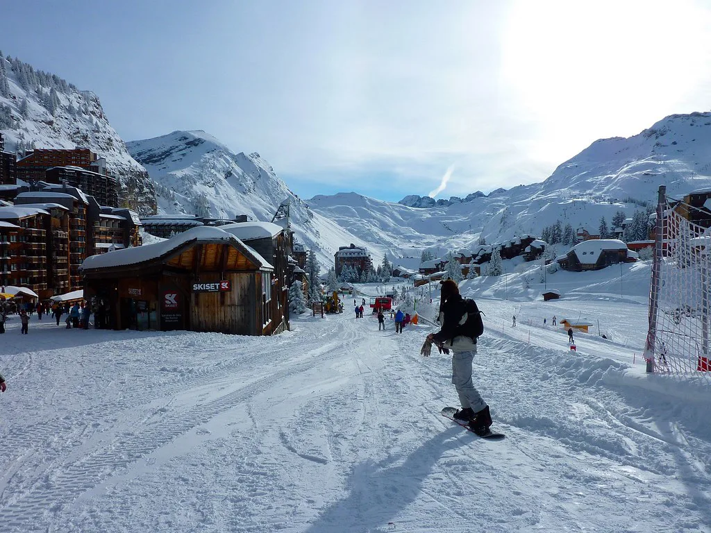
Avoriaz is car-free, with skis-on access from most accommodation and horse-drawn sleighs sharing the snowy streets. That layout means the map's village centre is not a car park and a lift queue but a network of ski routes, so orient yourself by building names and sector rather than by road.
From Morzine, the Super Morzine and Les Prodains gondolas both reach the Avoriaz sector, giving you two distinct entry points onto the map depending on where you are staying in the valley. Ski hire is spread across the village, and the ski school's own advice is to state your exact activity when collecting equipment so the binding setup matches what you will actually ski.
Children under five ski free but still need a pass collected from the lift ticket offices with ID, so factor an office stop into your first morning rather than heading straight for the Proclou lifts.
Plan Your Visit
The Avoriaz map is best read as two documents in one: a compact local area of 54 pistes wrapped around a pedestrian village, and a set of marked gateways into the 600 km Portes du Soleil network. Decide which of those you are skiing before you buy a pass, and the map becomes a planning tool rather than decoration.
Pair the plan with Avoriaz's live status tools and the morning snow report, and check the published season dates against your travel window. For the wider picture of the resort, the skiing guide covers terrain, access and village logistics in more depth.
Frequently Asked Questions
How many pistes and lifts are in the Avoriaz ski area?
The Avoriaz domain has 35 lifts and 54 pistes, graded as 8 green, 27 blue, 14 red and 6 black. These figures cover the local sector only and should not be confused with the larger Portes du Soleil totals of 308 pistes and 209 lifts across 12 linked resorts.
Is Avoriaz linked to Morzine on the piste map?
Yes. The Avoriaz plan includes Morzine, Montriond and the surrounding sectors, and you can reach Avoriaz from the Morzine valley via the Super Morzine or Les Prodains gondolas. Both give direct access to the Avoriaz sector of the map.
How do you ski from Avoriaz into Switzerland?
There are two signed options. One runs through the Chavanette sector to the Mur Suisse or the adjacent Chavanette chair; the other goes via Les Lindarets to the Mossettes lift and on towards Champéry-Crosets. Both require a Portes du Soleil pass rather than a local Avoriaz product.
Which Avoriaz sectors are best for beginners?
The terrain around Proclou and the lower slopes leaving the village suits beginners, with numerous green and blue runs and Lil'Stash reachable on a green and a blue. The 27 blue pistes in the local sector give improvers plenty of room to progress.
What do TSD and TSF mean on a French piste map?
TSD means télésiège débrayable, a detachable high-speed chairlift, while TSF is a fixed-grip chairlift. The same legend lists TK for surface drag lifts, TC for gondolas and TPH for detachable high-speed cable cars.
Do you need a Portes du Soleil pass to leave the Avoriaz sector?
Yes. Routes towards Châtel via Chaux Fleurie and both crossings into Switzerland require the full Portes du Soleil pass. The Avoriaz sector pass suits skiers staying on local terrain, and the ski school links lesson level to which pass to choose.
Where can you get a printed or digital Avoriaz piste map?
Downloadable plans for both the Avoriaz domain and the Portes du Soleil are published online, along with an interactive 3D map showing live lift and piste status. Printed plans are available at lift ticket offices and the tourist office, and the Up and Down app carries the map on your phone.
When does the Avoriaz ski area open and close?
The published dates for 2026/27 are 11 December 2026 to 18 April 2027. Treat these as the planned season envelope and confirm lift hours and openings on the official page before you travel, since early-season conditions determine what runs.
Sources
Useful notes for your next ski trip
Optional updates to our Alpine resort guides.
You might also like
Continue reading
More guides you'll find useful