Morzine Ski Map: Pleney, Nyon and Portes du Soleil Sectors
Read the Morzine piste map with confidence: Pleney, Super Morzine, Nyon, Les Gets links, Avoriaz access and the Swiss border, plus where to get a paper copy.
On this page
Morzine sits in the middle of the Portes du Soleil, the cross-border network that the resort tourist offices describe as Europe's largest linked ski area, with 650 km of trails. That headline figure is exciting but unhelpful on its own, because the map in your hand will almost certainly be a close-up of one of three overlapping areas. Getting clear on which one you are looking at is the single most useful thing you can do before buying a pass.
The town has two main lift bases, and they lead to different worlds. Pleney, on the south side of town, is the classic Morzine access point and the gateway towards Les Gets. Super Morzine, across the suspension bridge, climbs towards Avoriaz and the high, snow-sure upper network. Nyon, a third base west of the centre, serves a quieter plateau. Pick your accommodation with those three access points in mind and you will spend far less time on shuttle buses.
What the Morzine ski map actually covers
Three maps matter here. The Morzine–Les Gets map covers the local area, which the resort's own site puts at 120 km of marked runs now that the two villages are directly linked by lift. The Avoriaz map covers the purpose-built resort above and its own bowl of slopes. The Portes du Soleil map pulls both together with the Swiss resorts on the other side of the border.
In practice, the Morzine–Les Gets sheet usually carries the wider Portes du Soleil plan on the reverse, so one piece of paper can serve both purposes. That is worth knowing if you plan to ski locally in the morning and range further after lunch. Paper maps are also stocked at the lift-pass offices, which is the simplest place to grab one on arrival day.
Remember that a piste map is a diagram, not a survey. Distances are compressed, steep sections are stylised, and a lift that looks adjacent may sit a ridge away. Treat the map as a tool for choosing sectors and meeting points rather than for judging how long a run will take.
Resort layout: Pleney, Super Morzine and Nyon
Pleney is the most recognisable base in Morzine, a bubble lift at the bottom of the slopes on the south side of the centre. It carries the Morzine–Les Gets edition of the map and gives direct access to the local network. If your priority is cruising blues and linking to Les Gets, staying within walking distance of Pleney removes a daily transfer.
Super Morzine sits next to the suspension bridge, a short walk across the river from the heart of town. It is the launch pad for the long traverse towards Avoriaz, and its lift-pass office stocks the Avoriaz edition of the map. For anyone planning to spend most of the week on the higher slopes, this is the base that saves the most time.
Nyon is the quieter option, reached by cable car from the western side of town on a plateau that gives the sector its name. The resort operates dedicated beginner areas at both Pleney and Nyon under its 1ère glisse banner. That split matters for families, because the Nyon side tends to be calmer for first turns while Pleney puts you closer to the main village bustle.
Three passes, three maps: which ticket unlocks what
The Morzine–Les Gets pass is the local ticket, covering the two linked villages and their 120 km of marked runs. It is the right buy for a first week, for mixed-ability groups who will spend most time on blues and easy reds, and for anyone who wants short lift queues over trophy kilometres. A beginner ticket tied to the Nyon sector sits below even that level for those just starting out.
The Avoriaz pass opens the upper resort and its own slopes, which is a sensible middle option if you want altitude and reliable snow without paying for the whole network. The Portes du Soleil pass is the full ticket, valid across the French and Swiss resorts. Buying up only when the forecast and your plans justify it is far cheaper than defaulting to the biggest pass.
Pass products, prices and collection details change each winter, so match the ticket to the map you actually intend to ski rather than to the longest list of resorts on the brochure. Comparison of the cards and add-ons, and where to collect them, is set out in the wider guide to the Morzine Ski Pass. Buy or recharge online where you can, since the resort advertises that route as its best-price option.
The Pleney sector: town-centre access and the Les Gets link
The Pleney bubble is the lift you will see from half the cafés in town, and it is the most convenient way onto the snow. Above the bubble, the sector spreads across groomed blues and reds with plenty of lift-to-lift linking, making it a good place to build confidence early in the week. Because Les Gets is now directly connected, you can ski across for lunch and back without a bus.
For beginners, the resort runs a dedicated first-timers zone at Pleney, which keeps nervous skiers away from through traffic heading to the link runs. It is worth checking the meeting point for your ski school before the first morning, because classes often gather on the easier slopes rather than at the top of the bubble. Book lessons and hire before you travel if you are arriving on a peak Saturday.
The Pleney side also carries one of the resort's small sledging areas for children, near the top of the gondola, and access uses a ski pass or a pedestrian return ticket. That is a useful plan for a non-skiing afternoon. Opening and pricing for that area changes with conditions, so ask at the Pleney ticket office on the day.
Super Morzine and the Avoriaz link: when the traverse is worth it
From Super Morzine the map shows a long, multi-lift push towards Avoriaz rather than a single hop. You work your way up through intermediate terrain before the higher bowls open out. That makes the sector a poor choice for a late start: commit to it in the morning if you want a full day on the upper slopes, and keep an eye on the time for the return.
The reward is altitude and dependable snow, plus access to the free-ride and snowpark terrain that surrounds Avoriaz. Intermediates who are comfortable on reds will find the journey itself worthwhile, while absolute beginners should stay down at Pleney or Nyon until they can link turns confidently. Groups of mixed ability often split for the day and meet back in town.
Because the sequence involves several lifts, poor weather can change the picture quickly. Keep an offline copy of the plan on your phone and confirm which links are running before you set out. A paper map in a pocket is still the fastest backup when the screen struggles in the cold.
Nyon: the quieter plateau and the eagle viewpoint
Nyon is reached by cable car from the western edge of town and serves a compact plateau with views back across the valley. The resort's second 1ère glisse beginner area sits here, making it a relaxed alternative to the busier Pleney base. Parking and shuttle access on this side is straightforward, which suits families driving out from a chalet.
The plateau is also home to the eagle displays that the resort promotes as a free spectacle, and to a restaurant at around 1,500 m. Non-skiers can ride up with a pedestrian ticket and watch the birds while the rest of the group laps the slopes. It is the easiest way to give a mixed group a shared mountain day without everyone skiing.
Terrain on this side rewards those who want shorter, quieter laps rather than long point-to-point routes. If your group includes a nervous skier and a strong one, Nyon lets them share a base without a long commute between them.
Crossing into Switzerland on the map
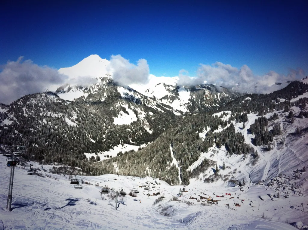
The Portes du Soleil plan marks the French-Swiss border with a dotted line, which is your cue that a lift or run crosses national territory. From the Morzine side you can work across towards Champéry and Morgins and stop for lunch on the Swiss side. The plan is genuinely useful here: identify the return lifts you need before you commit, because one closed link can turn a quick crossing into a long trip home.
Carry your pass and some identification, and check the day's lift status before heading over. A Swiss lunch is a real pleasure, but it eats into the afternoon, so plan to start back well before the lifts begin to wind down. Groups that split up should agree a rendezvous on the French side rather than hoping to find each other in a mountain restaurant.
The twelve linked resorts on one plan
The Portes du Soleil map page lists twelve resorts in the network: Abondance, Avoriaz, Champéry, Châtel, La Chapelle d'Abondance, Les Gets, Montriond, Morgins, Morzine, Saint-Jean-d'Aulps, Torgon and Val-d'Illiez - Les Crosets - Champoussin. Individual sector plans can be downloaded for each of them, which is handy if you plan a day out to a specific village.
Realistically, most Morzine visitors will ski Morzine, Les Gets and Avoriaz, with maybe one excursion further afield. Châtel and the Abondance valley sit on the far side of the network and deserve a full day rather than a quick detour. Treat the twelve-resort list as a menu, not a checklist.
Where to pick up a paper map
The Pleney lift-pass office sells and issues passes and stocks the Morzine–Les Gets map with the Portes du Soleil plan on the reverse. The Super Morzine office, beside the bubble near the suspension bridge, carries the Avoriaz edition. If you specifically want Avoriaz at Pleney, or the other way round, availability is more limited.
The tourist information office is the other reliable source, and resort staff will usually have copies early in the season. Downloading a copy in advance means you can study the network on the journey out and mark the runs you want to ski. More detail on lift access, pass collection and trip planning sits in the Morzine ski guide.
Live status, webcams and the free app
A printed map tells you where things are, not whether they are open. The Portes du Soleil interactive map shows which slopes and lifts are running in real time, along with webcams and points of interest. Check it over breakfast and adjust your plan around the wind and snow rather than skiing to a closed lift.
The Portes du Soleil also offers a free smartphone app with lift status, webcams, a locate-me function and avalanche risk information. That last feature is useful context even if you stay on marked pistes, since it tells you how the off-piste zones marked in orange on the plan are behaving. Use the app alongside the paper map rather than instead of it.
Phone batteries drain fast in the cold, so keep the device warm and carry the paper backup you picked up at the lift office. A short morning check of lift openings beats discovering a closure at the top of the mountain.
Which sector suits which ability
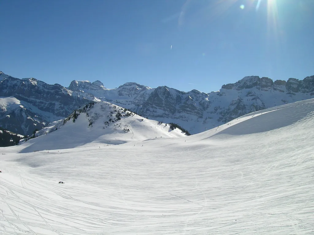
First-timers belong at the Pleney or Nyon 1ère glisse areas, working with an instructor on gentle terrain before attempting any link runs. Early intermediates should base themselves on the Morzine–Les Gets map, where the blues and easier reds build confidence without long commutes. Strong intermediates and advanced skiers get the best value from the Portes du Soleil pass, using Avoriaz as a springboard to the wider network and the free-ride zones marked on the plan.
If you are booking lessons, check which base your school uses, because a course that meets at Nyon is impractical if you are staying beside Pleney and relying on the shuttle. The same goes for equipment: collecting skis and boots in the village you ski from saves a daily walk with awkward loads. Local arrangements for both are covered in the pages on ski hire and Morzine Ski lessons.
Planning a day on the map rather than zig-zagging it
Choose one direction each day. A Pleney-to-Les Gets day keeps you low and sociable; a Super Morzine-to-Avoriaz day chases altitude and distance; a Nyon day is short, quiet and good for tired legs. Zig-zagging between all three wastes the best hours on lifts.
Mark your planned lunch stop and your bail-out lift in the morning, then check the live status before setting off. If the forecast turns, half a plan is better than no plan. Keep the second half of the week flexible so you can swap sectors if snow or weather favours the other side of town.
Season dates and booking timing
The resort publishes a continuous season from Saturday 19 December 2026 to Sunday 4 April 2027, noting that snow conditions and demand can close some slopes and lifts earlier. Ticket offices have opened ahead of the lifts in previous winters, so confirm the current pattern before you plan a collection stop. For the full winter picture, the Morzine ski season dates page tracks the published calendar.
Book accommodation by which lift base you want to walk to, not just by village centre convenience. Pleney is the choice for Les Gets and local cruising, Super Morzine for the Avoriaz link, and Nyon for quiet family days. Half-term weeks fill the most desirable chalets first, so lock in the base that matches your plans.
Reading the map on your phone in the cold
Download the map and the app before you leave the chalet, and screenshot the sector you plan to ski. Cold fingers and bright glare make pinch-zoom navigation fiddly, and a saved image works without signal. If you are comparing layouts ahead of your trip, the Alpe d Huez Ski Map shows how a big resort organises its sectors, though the terrain itself is a different proposition.
Keep the phone in a zipped inner pocket, and use the paper map for the overall view and the screen for live status. Agree a lunch spot by lift name rather than by vague description, because the plan names every lift and restaurant. That single habit prevents most of the confusion that a big linked area can create.
Get the Map Before You Get to the Lift
The Morzine piste map makes most sense once you separate the local Morzine–Les Gets sheet, the Avoriaz plan and the full Portes du Soleil network. Match your pass to the map you will actually ski, choose your accommodation by lift base, and keep a paper copy in your pocket.
Grab a paper map at the Pleney or Super Morzine lift pass office, or download the Portes du Soleil plan before you travel, then check live lift status each morning. That routine turns a beautiful but sprawling diagram into a week of ski days you can actually follow.
Frequently Asked Questions
What does the Morzine ski map cover?
It covers three overlapping areas: the Morzine–Les Gets local network, the Avoriaz slopes above town, and the cross-border Portes du Soleil network. The Morzine–Les Gets map usually has the wider Portes du Soleil plan on the reverse side, so a single sheet can serve both purposes.
Which lift base should I choose in Morzine?
Choose Pleney if you want the town centre, the beginner zone and the link to Les Gets. Choose Super Morzine if you plan to spend most of your days heading up towards Avoriaz. Choose Nyon for a quieter plateau base with its own beginner area and the eagle viewpoint.
How many ski resorts are linked in the Portes du Soleil?
Twelve are listed on the Portes du Soleil map: Abondance, Avoriaz, Champéry, Châtel, La Chapelle d'Abondance, Les Gets, Montriond, Morgins, Morzine, Saint-Jean-d'Aulps, Torgon and Val-d'Illiez - Les Crosets - Champoussin. Most Morzine visitors ski only a handful of them.
Where can I get a paper piste map in Morzine?
The Pleney lift-pass office stocks the Morzine–Les Gets edition, and the Super Morzine office, beside the bubble near the suspension bridge, stock the Avoriaz edition. The tourist information office is the other dependable source early in the season.
Can you ski from Morzine into Switzerland?
Yes, with a Portes du Soleil pass. The map marks the French-Swiss border with a dotted line, and you can work across towards Champéry and Morgins. Plan your return lifts before you stop for lunch so a closure does not strand you on the Swiss side.
Does the piste map show live lift openings?
No. Use the interactive map and the free Portes du Soleil app for real-time lift status, webcams and avalanche risk. The printed map shows the layout and sector structure: the map is the plan, the app is the update.
Sources
Useful notes for your next ski trip
Optional updates to our Alpine resort guides.
You might also like
Continue reading
More guides you'll find useful