
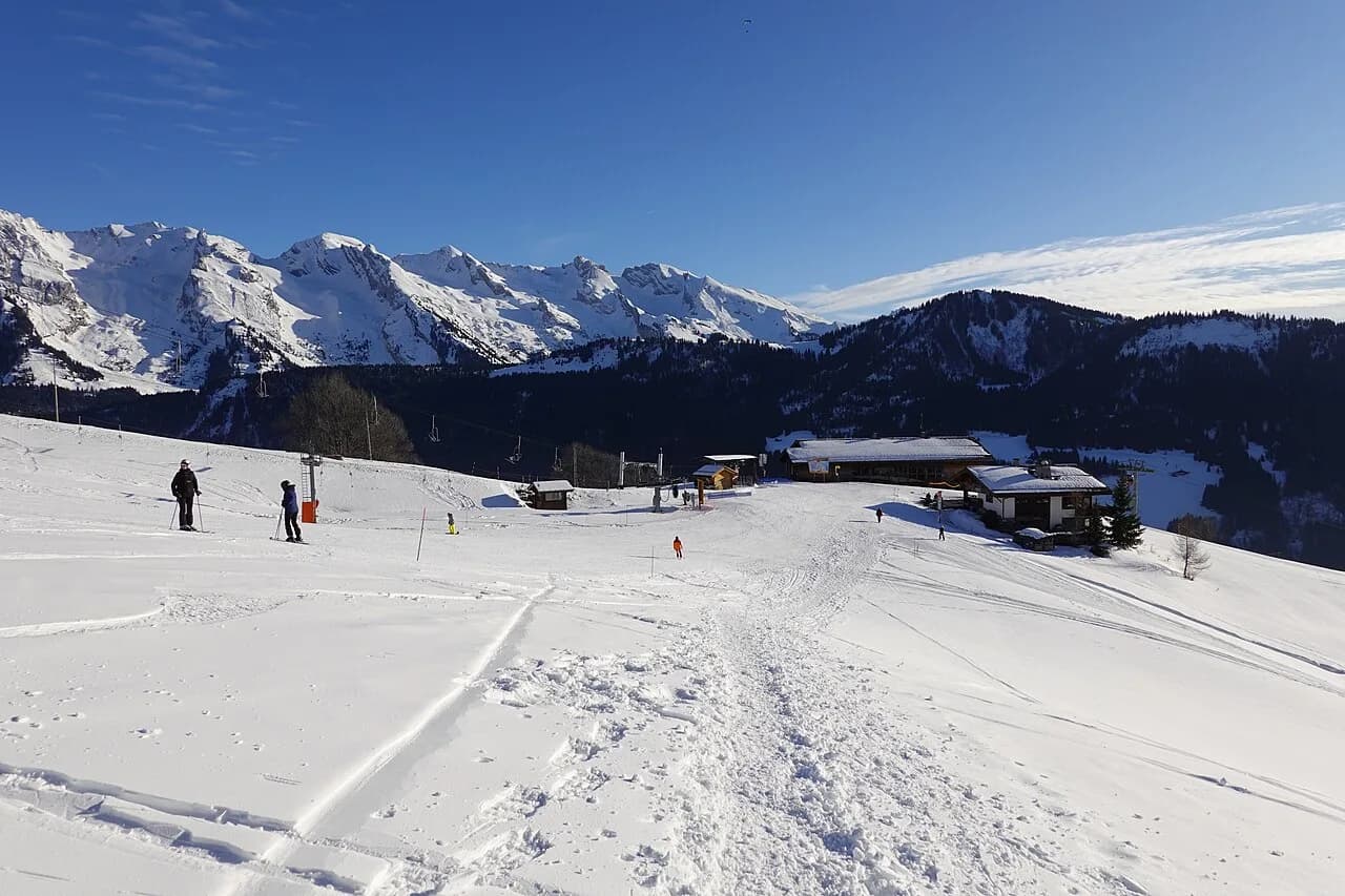
Le Grand Bornand Ski Map: Pistes, Sectors and Lifts
Read the Le Grand Bornand ski map with confidence: 90 km of pistes, village and Chinaillon bases, beginner zones and live lift status checks.
On this page
A piste map is the first real decision tool of any ski trip, and Le Grand Bornand's is more useful than most because the area is split between two distinct bases. Get the layout straight before you book accommodation and you will spend less of each day traversing and more of it skiing. This guide walks through what the map shows, how the sectors differ and which tools to keep on your phone.
Le Grand Bornand sits in the Aravis range of Haute-Savoie, with the village at the valley floor and Chinaillon higher up the same valley. The two are part of one ski area rather than rival resorts, but they feel different on the ground and on paper. Once you can place your accommodation on the map, the rest of the planning follows quickly.
What the Le Grand Bornand Ski Map Shows
The official map covers a ski area with 90 km of slopes spread across the village and Chinaillon sides, plus the fun zones and snowpark that the resort markets heavily. That figure is the headline number to hold onto when comparing the area with larger Alpine names. It describes the downhill domain only, so do not add the cross-country network to it.
The map is published by the lift company and the tourist office in paper and digital form, and an interactive version sits alongside the piste-opening page. Use the interactive map for navigation and the printed one for the bigger picture of how sectors connect. Screenshots of social posts and third-party maps are often out of date, so work from the version published by Le Grand Bornand Tourisme and the Domaine Skiable.
Village Side vs Chinaillon: Placing Your Base on the Map
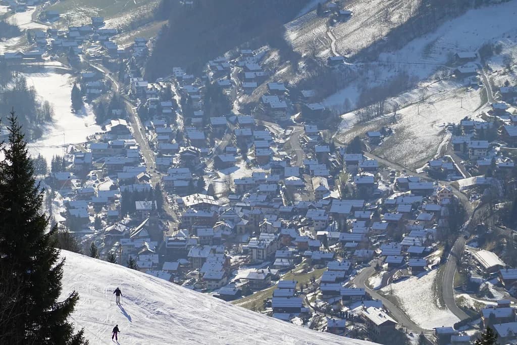
On the map, the Le Grand-Bornand village base sits low in the valley with the snow front and the main beginner area close to the church and the tourist office. Chinaillon is further up the road and reads as a separate cluster of lifts, pistes and accommodation. Neither is a satellite of the other in the way some resort suburbs are; each has its own lift access and its own character.
For families with young children and anyone who wants shops, restaurants and the evening atmosphere within walking distance, the village side is the natural pick. Chinaillon appeals if you want to step out of your door and be higher on the mountain sooner, which shortens the morning lift queue but puts you further from the village's amenities. Choose based on how you want to spend the hours off the snow, not just the skiing.
The two bases are connected by road and by the ski area itself, so staying on one side does not lock you out of the other. The trade-off is time: crossing between them on snow takes planning, and doing it by car or bus at the end of the day needs a little forethought. Sketch your accommodation onto the map before you book and the daily logistics become obvious.
Altitude and the Aravis Setting
The official snow reports quote village-level stations around 1,000 metres, with mid-mountain points such as Chinaillon at roughly 1,300 metres and the higher lifts reaching above 2,000 metres. That vertical spread matters more than any single number on the map, because it determines where the snow holds and where the runs soften first in spring. Read the altitude bands on the map and you can guess how a warm spell will affect your week.
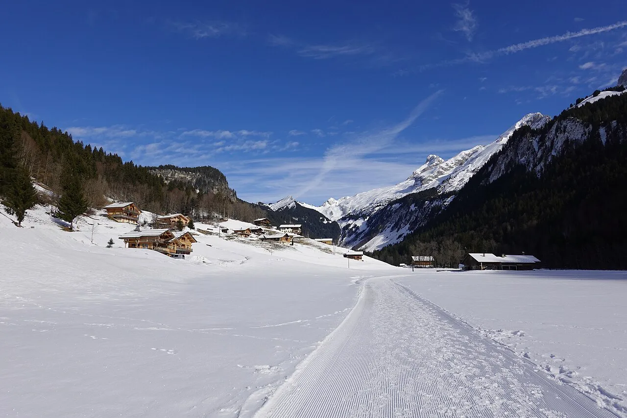
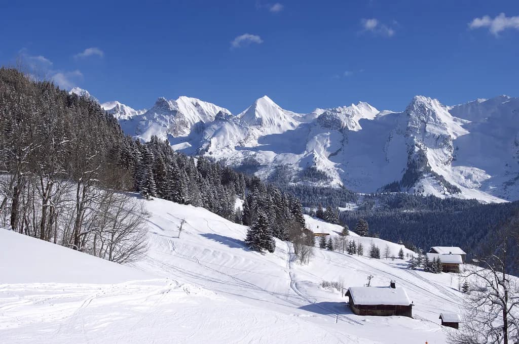
The Aravis setting gives Le Grand Bornand its look: fir trees, chalet rooftops and limestone cliffs above the tree line, rather than the bare high-altitude bowls of the Tarentaise. The upshot is that much of the skiing is through forest, which holds up well in poor light and offers shelter on windy days. If you want big open glacier terrain, this is not the map for you; if you want variety in a modest vertical range, it delivers.
Beginner Zones on the Map: The Môm'Park and First-Timer Areas
Beginners should look first at the Môm'Park, the dedicated first-timer area on the village side, which the resort flags on its piste map and in its family material. It sits near the snow front, so you can walk to it from village accommodation without a lift ride. This is where ski school classes typically start, which makes it the obvious meeting point for a first morning.
Chinaillon has its own beginner-friendly pitches near the base, so a family staying on that side does not need to drive down to the village for a first lesson. When you read the map, look for the gentle gradients close to each base rather than counting green runs across the whole area. The best beginner zone is the one nearest your bed, and the Le Grand-Bornand ski lessons page explains how classes are grouped.
Intermediates and Confident Skiers: Linking the Sectors
Intermediates are the group best served by the map's structure, because the 90 km of slopes divide into comfortable chunks that can be skied in a morning without committing to a long traverse. Plan a loop that starts at your base, works upward and returns on a different side, so you see more terrain without repeating lifts. The map's lift lines are the key: any loop that uses lifts that face each other is easy to reverse if the weather turns.
Strong skiers should check the higher lifts and the steeper terrain above Chinaillon, where the map shows the area's more demanding pitches and the link toward the upper lifts. The vertical is honest rather than huge, so treat the area as a place to ski well rather than to clock up altitude. On a powder day, the tree-lined runs hold their snow and stay readable when the upper slopes are in cloud.
Fun Zones, Snowpark and Night Skiing
The map marks more than pistes, and the fun zones are part of the appeal for families and mixed-ability groups. The resort has built a reputation for themed areas and features scattered across the slopes, along with a snowpark that appears on the piste plan, plus a big airbag for those working on jumps. If you are skiing with teenagers, these are the sections to circle before you arrive.
Night skiing also features in the resort's winter programme, with the snow front lit for evening sessions. Check the weekly programme on the tourist office site rather than assuming a fixed night, as the schedule moves with the season and conditions. Treat it as a bonus session at the end of a ski day, not the main event.
The Linked Aravis Picture: La Clusaz, Manigod and Saint-Jean-de-Sixt
The Massif des Aravis map is a cross-resort overview that places Le Grand Bornand alongside La Clusaz, Manigod and Saint-Jean-de-Sixt. It is useful for understanding the geography of the valley and for planning days out off the snow, but it is not a single lift network. No lift connects Le Grand Bornand to La Clusaz directly, so plan to drive or take a bus if you want to ski both.
Check what your lift pass actually covers before assuming access to a neighbouring resort, because the regional products and add-ons vary by season. The pass page on the official site sets out the products for the current winter, and our Le Grand-Bornand ski pass guide explains the options in more detail. Ski each resort on its own terms rather than expecting one ticket to open the whole massif.
Nordic Trails: A Separate Map for the Vallée du Bouchet
Cross-country skiing in Le Grand Bornand has its own network in the Vallée du Bouchet, mapped separately from the alpine domain. The tourist office publishes a dedicated Nordic trail map plus a broader Aravis Nordic link plan, which you can download as PDFs before you travel. Do not try to read the cross-country trails off the downhill piste map, as they are not drawn there.
The Nordic area is marketed for all levels, with beginner-friendly loops and areas set aside for leisure skiing, so it is a viable half-day option for a mixed group. Passes for the Nordic network are sold separately from the alpine pass, and the tourist office lists its own rates. If your party splits between downhill and cross-country, base yourself somewhere that makes both accessible.
Live Status Tools: Interactive Map, Lift Openings and Snow Reports
The most useful page on the resort site is the slopes and ski-lift opening page, which combines an interactive piste map with live lift openings, snow depth at several stations and the day's avalanche risk. Check it on the morning of skiing rather than the night before, as wind and snow can change lift status quickly. The avalanche risk is then followed by a reminder to carry a transceiver off-piste.
The resort also promotes the Skiif app, a guidance tool described as a skiing satnav, which can help riders find their way around the area on the day. It is a supplement to the piste map, not a replacement for the official lift status, and it will not tell you which lifts are running. Use the app for orientation and check current lift openings on the Domaine Skiable du Grand-Bornand page before deciding whether a sector is worth heading to.
Season Dates on the Calendar
For winter 2026-27, the alpine ski area plans a pre-season opening on 5 and 6 December 2026, then continuous operation from 12 December 2026 until 11 April 2027. The Nordic area opens subject to weather and snow conditions, so treat its start date as flexible. Those alpine dates shape everything from when to book accommodation to which weeks fall in the school holidays.
Early December and mid-April sit at the edges of the season, when the map may show only part of the area open. If you are booking a pre-season weekend, expect a limited lift roster and plan around the lower, snow-sure runs. Late-season trips can be superb value, but check which lifts and sectors are still running before you settle on accommodation on the far side of the map.
Lift Passes and Where to Buy
Lift-pass prices for the season are published on the official site's alpine ski pass page, with rates varying by age, duration and the time of winter you travel. The page links through to the full price list rather than quoting every figure in one place, so open it directly to price your dates. Buy before you arrive where the resort offers an online discount, and compare that with buying at the lift office on the day.
Your pass choice depends on how the map matches your plans: a short break focused on one base may only need a standard area pass, while a longer stay might justify a product with more flexibility. Read the inclusions carefully, because the regional Aravis products are not the same as the local pass. Our Le Grand-Bornand ski pass guide compares the options without the marketing language.
Practical Map Use on the Day
Carry a paper map on the first morning even if you have the app, because phone batteries die in the cold and lift queues are no place to scroll. Mark your accommodation, your ski school meeting point and one backup meeting point in case your group separates. The village snow front and the Chinaillon base are the obvious rendezvous if you are skiing from both sides.
Ski-school pickups run to their own timetable, so confirm whether lessons meet on the village side or at Chinaillon and plan your first lift accordingly. Arriving at the wrong base can cost you an hour of a short ski morning. If you need equipment, sort le grand bornand ski hire near your base rather than the shop nearest the biggest lift, and you will avoid carrying skis across the resort.
Which Map to Download Before You Travel
Download the official alpine piste map and, if you plan any cross-country, the Nordic trail map as separate files before you leave home. Keep the live opening page bookmarked for the morning check and add the interactive map for on-mountain orientation. Print one copy per skier and mark your base, your lesson meeting point and a fallback plan.
If you are weighing this area against a bigger French resort, our Alpe d Huez piste map guide shows how a much larger domain is laid out for comparison. Le Grand Bornand's strength is compact variety rather than scale: two distinct bases, 90 km of slopes, forest skiing that holds up in bad weather and a village that works in the evening. Read the map with those priorities in mind and the trip plans itself.
Frequently Asked Questions
What does the Le Grand Bornand ski map show?
It shows the downhill domain of 90 km of slopes, split between the village base and Chinaillon, with the lifts, fun zones, snowpark and beginner areas such as the Môm'Park marked on it. The cross-country network in the Vallée du Bouchet is published on a separate Nordic trail map, so read the two together if your group does both.
How many kilometres of pistes are in Le Grand Bornand?
The official tourist office describes 90 km of slopes across the alpine ski area, spread over the village and Chinaillon sides. That is the downhill figure only; the Nordic trails in the Vallée du Bouchet are counted separately. It is a compact domain by French standards, so plan sectors rather than trying to cover distance.
Where are the beginner areas on the Le Grand Bornand piste map?
Look for the Môm'Park on the village side, near the snow front, which is the dedicated first-timer area and a typical ski-school meeting point. Chinaillon also has gentle pitches near its base, so families staying up the valley can learn without driving down. Match the beginner zone to your accommodation and the morning starts easily.
Is Le Grand Bornand linked to La Clusaz by lift?
No. The two resorts sit in the same Aravis range and appear together on a cross-resort overview map, but no lift connects them. Plan to drive or take a bus if you want to ski both, and check what your pass covers before assuming access to the neighbouring domain.
When does the Le Grand Bornand ski area open and close?
The published plan for winter 2026-27 is a pre-season opening on 5 and 6 December 2026, followed by continuous operation from 12 December 2026 to 11 April 2027. The Nordic area opens according to weather and snow. Confirm the dates on the official slopes and lifts page before booking around the edges of the season.
Where can I download the Le Grand Bornand piste map?
The official tourist office site publishes the alpine piste map to download, alongside an interactive version and live lift and snow information. The Nordic trail map is a separate download on the cross-country pages. Save both before you travel, and print a copy in case your phone battery gives out on the mountain.
Sources
Useful notes for your next ski trip
Optional updates to our Alpine resort guides.
You might also like
Continue reading
More guides you'll find useful
.jpg)
.jpg)
.jpg)