Corvara Ski Map Guide: Alta Badia Piste Map Sectors
Read the official Alta Badia piste map for Corvara lift bases, Pralongià and Colfosco sectors, Sellaronda links and live lift status before you ski.
On this page
The Corvara ski map is not a single-village plan: it covers the whole Alta Badia network, with Corvara acting as the central junction where several lift systems converge. Reading it well changes where you start your day rather than which runs you ride, because exits sit on different sides of the village. The official Alta Badia map is the version worth downloading, and its lift and piste figures are the ones to trust.
This guide walks through the mapped sectors around Corvara, the named lift bases you will see on the plan, and how the map signals connections toward the Sellaronda and the wider Dolomiti Superski network. It also covers Alta Badia's live-status tools, because a printed plan describes the network while conditions decide what actually runs. For broader trip context beyond the map, see the Corvara Skiing Guide.
What the Official Alta Badia Piste Map Covers
The official Alta Badia map shows the ski area from roughly 1,300 to 2,800 metres, spanning Corvara, Colfosco, La Villa, San Cassiano, Badia and La Val. It marks lifts, pistes by difficulty colour, and the links that carry you out of the valley toward neighbouring circuits. Downloading the current PDF matters because lift names and sector layouts are revised between seasons.
Operator figures describe 54 lifts and 130 piste kilometres, split as 74 km easy, 47 km medium and 9 km difficult, with direct access to the Sellaronda. Some third-party guides publish different totals and a higher top lift; where they conflict, the operator's published numbers are the safer basis for planning. Use a secondary guide mainly to understand how sectors relate, not to quote counts.
Corvara and Colfosco as the Map's Central Junction
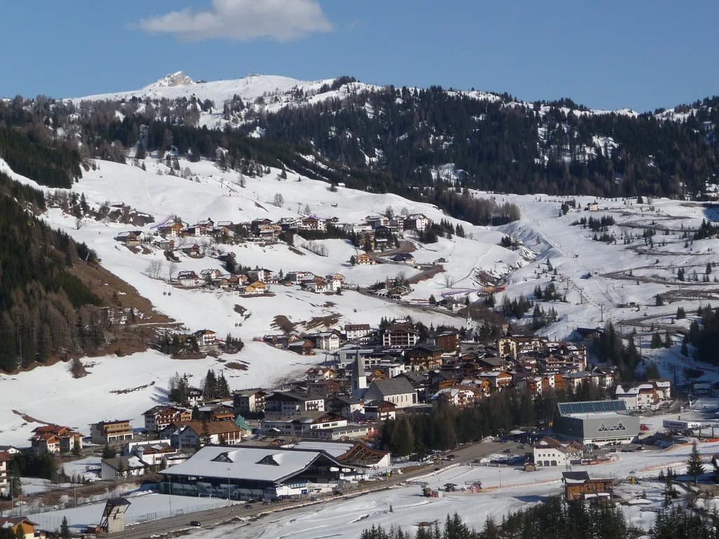
On the plan, Corvara sits at the lower centre with lift bases radiating in several directions, which is why the base area feels spread out rather than concentrated at one station. Colfosco lies just above and slightly to one side, giving quicker access to the terrain climbing toward Passo Gardena. Where you sleep in relation to those bases shapes your first lift of the morning more than any run choice.
The wider network extends down the valley through La Villa, San Cassiano and Badia, so the map doubles as a valley-orientation tool. If your plan involves meeting people based elsewhere in Alta Badia, trace the connecting lifts first and treat the village names as anchors on a single connected system. The Corvara Skiing Guide covers how those villages compare as bases.
Corvara's Lift Bases on the Map
The map labels the main Corvara access points by name, and the official lift list confirms them: the Col Alto gondola, the Boé gondola, the Vallon chairlift and the Capanna Nera ski lift, among others. Recognising these names lets you match a printed plan to the live lift board quickly. Published opening times for individual lifts vary through the morning, so treat the plan as showing location, not schedule.
Boé and Vallon climb toward higher, more exposed terrain on the Campolongo side, while Capanna Nera sits in the gentler zone above the village. That contrast is useful when you are choosing a first lift on a cold morning or a last lift when legs are tired. If you need equipment before skiing, corvara ski hire is a separate decision from reading the map.
Mapped Sectors Around Corvara
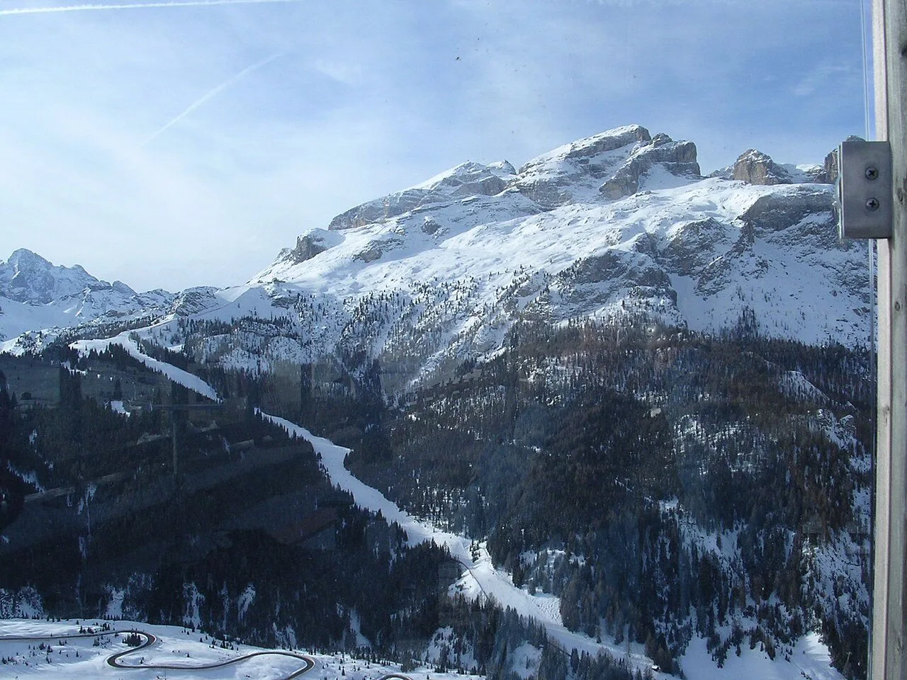
Four sectors frame Corvara on the plan: the Pralongià plateau above and toward San Cassiano, the Boé and Vallon slopes toward Passo Campolongo, the Colfosco side rising toward Passo Gardena, and the lower runs returning into the village. Pralongià reads as wide, undulating terrain with several lift lines, which suits a wandering morning rather than a fixed circuit. The Campolongo side shows longer, more exposed descents; the Canazei Ski Map is the counterpart plan once you cross toward Val di Fassa.
Colfosco and Passo Gardena form the gateway toward Selva and the Val Gardena side, visible on the map as the transition between valleys. Recognising that transition point helps you decide whether a day should stay local or commit to a circuit. Where a sector's difficulty is not clear from the plan alone, consult the Alta Badia slope overview instead of guessing from the sector name.
How the Map Shows Sellaronda and Circuit Connections
The map marks the Sellaronda as two directions around the Sella massif, and Alta Badia publishes separate clockwise and counterclockwise circuit status alongside the First World War tour routes. The distances given for those circuits are long day objectives, not casual add-ons, so the map is best used to see which exit from Corvara feeds which direction. Circuit status is reported separately from individual lift status, and either can change.
Because the circuits leave Alta Badia and pass through neighbouring areas, a plan that includes them depends on more than Corvara's own lifts. If a circuit is shown as closed, the local sectors on the map remain the fallback, and the plan makes those alternatives visible. The Corvara Skiing Guide sets out how the resort fits the wider network.
Using Live Map Tools Before You Commit
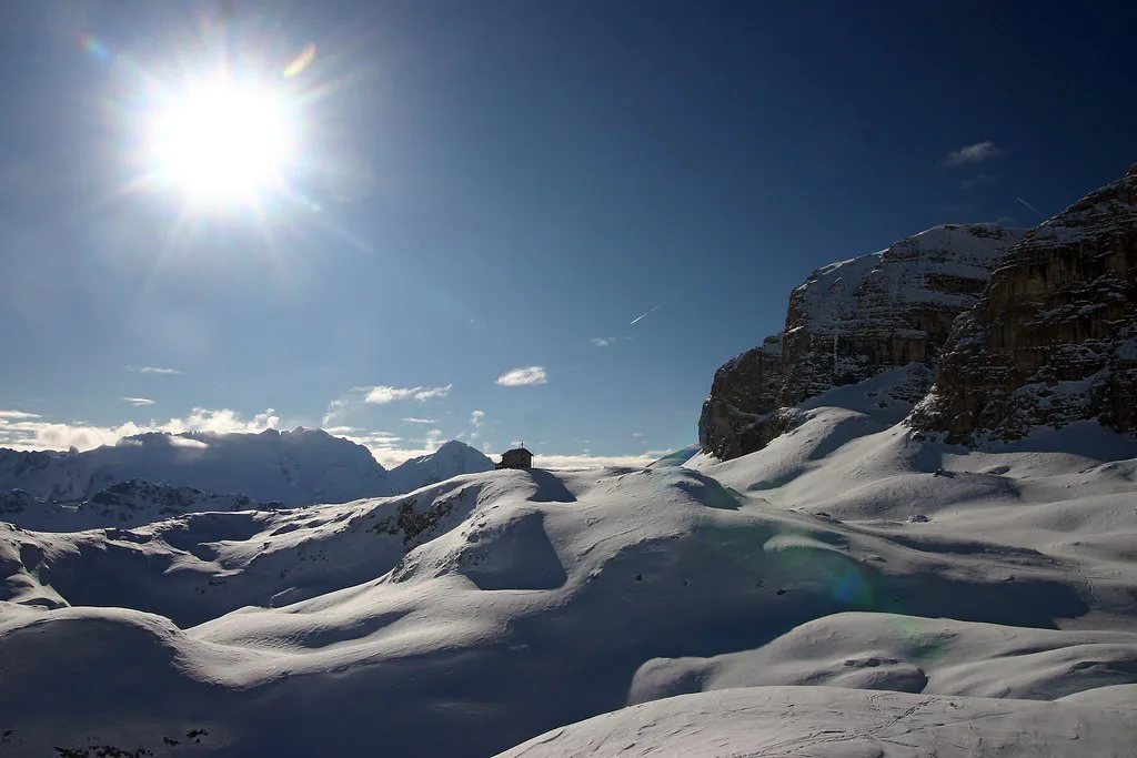
A printed plan cannot tell you what is running today, so open Alta Badia's live board before leaving: it lists open lifts, open piste kilometres, snow depths, last snowfall and circuit status. The published winter window runs from 04.12.2026 to 04.04.2027, but that is a scheduled season conditional on weather and snow, not a promise that every lift, link or piste will operate. Treat any single lift's status as provisional until the board shows it running.
The practical routine is simple: open the map to choose a sector, then open the status page to see which lifts serving it are running. If a key link is down, the plan still shows which local loops remain self-contained. For pass questions such as which area a ticket covers, consult Alta Badia's own pass information rather than inferring from the map colours.
Plan Your Corvara Ski Day from the Map
Treat the Corvara ski map as an orientation tool: it tells you where the lift bases sit, which sectors surround the village, and how the exits feed the Sellaronda and the wider Dolomiti Superski network. Use Alta Badia's figures for scale and the live snow report for what is actually running on the day. That pairing answers most planning questions without guessing.
Before booking, confirm the current season window and snow-report conventions directly with the Alta Badia tourist office, since published dates and tools can be revised. If your day depends on a specific link or circuit, check its status the morning you ski rather than relying on the plan alone. The rest of the resort planning sits in the Corvara Skiing Guide.
Frequently Asked Questions
What does the Corvara ski map actually show?
It maps the whole Alta Badia network, with Corvara at the centre and lift bases on several sides of the village. Pistes appear by difficulty colour, alongside the links toward the Sellaronda. Use the downloadable version for current naming and layout.
Where do you get the official Alta Badia piste map?
Download it from the Alta Badia ski-area page, which hosts the current resort map. Avoid reproducing it; use the download link and make sure the version is for the coming winter.
How does Corvara connect to the Sellaronda?
The map shows the circuit leaving the valley in two directions around the Sella massif, with separate clockwise and counterclockwise status published. Because the loop passes through neighbouring areas, check current details before committing.
How many piste kilometres does Alta Badia have?
Alta Badia publishes 130 piste kilometres served by 54 lifts, split as 74 km easy, 47 km medium and 9 km difficult, plus Sellaronda access. Some third-party guides list different totals; use these figures for planning.
Sources
Useful notes for your next ski trip
Optional updates to our Alpine resort guides.
You might also like
Continue reading
More guides you'll find useful