Val d'Isère Ski Map: Sectors, Lifts and Live Piste Status
Use the Val d'Isère ski map to plan by sector, tell Solaise from Bellevarde and Le Fornet, and check live piste and lift openings before you set off.
On this page
A Val d'Isère ski map is most useful when you read it by sector rather than as one resort-wide picture. The linked Tignes–Val d'Isère area spans several distinct sectors, and which one you base your day on depends on where you sleep and how far you want to travel. Use the map to choose a sector before you leave the village, not after you are already on a lift.
The map also separates the static picture from live status. Printed and downloaded maps show layout; the interactive map and app show what is actually open. Treat the two as different tools and check both when conditions or schedules matter. If you are new to the resort, start with the val d isere skiing overview before drilling into the map.
Why one map covers the Tignes–Val d'Isère area
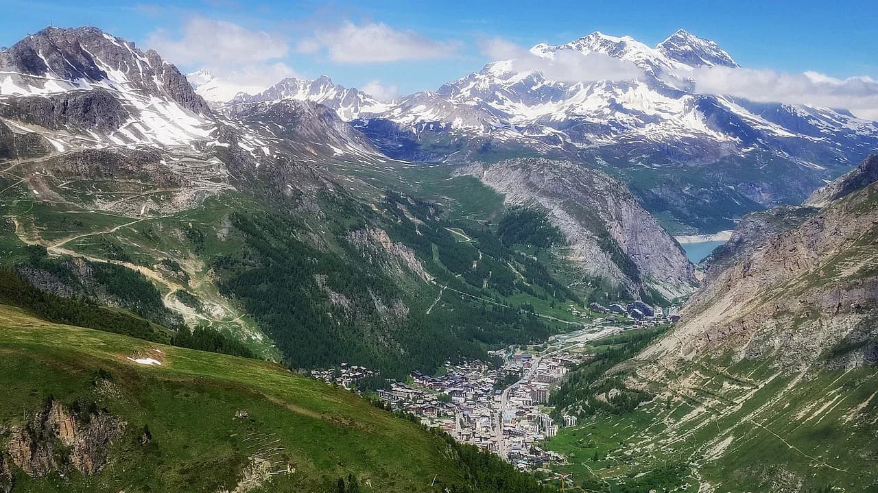
Val d'Isère and Tignes share a single linked ski area, so one map covers both. That matters when you read boundaries: lifts near the middle of the area connect the two resorts, and a route that looks short on paper may cross into Tignes terrain. If you prefer a resort whose map breaks down into a few clear sectors, the Alpe d'Huez Ski Map is a useful comparison. The official Tignes map describes the area as roughly 300 kilometres of trails and 153 runs from green to black, which gives you a sense of scale before you plan.
The practical consequence is that you should decide whether your day stays in Val d'Isère sectors or crosses into Tignes. If you want to keep things simple, plan loops that return to your starting village lift. If you want variety, use the map to identify the linking lifts first, then build the rest of the day around them. A Val d'Isère ski pass question often starts here, because pass coverage follows the same area.
Sector by sector: Solaise, Bellevarde, Le Fornet and La Daille
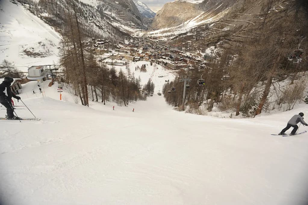
The main Val d'Isère sectors are Solaise, Bellevarde, Le Fornet and La Daille, each with its own access lift and character on the map. Solaise is reached by the Solaise gondola, while Bellevarde is served by the Olympique cable car at the top. Le Fornet and the Pissaillas glacier sit further up the valley, and La Daille has its own base area on the eastern side of the village.
Reading the map sector by sector helps you avoid long transfers. If you are based near the village centre, Solaise and Bellevarde are the most direct starts; La Daille suits anyone staying at that end of the resort. Le Fornet is a separate valley sector and can be a full-day target rather than a quick add-on. The official Val d'Isère map shows these sectors and their connecting lifts in one view.
Village-level lift connections
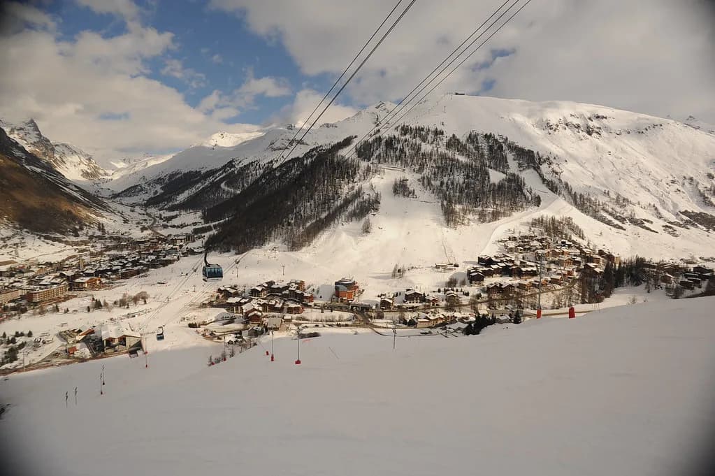
Two lifts matter most for returning to village level. The Solaise gondola and the Olympique cable car at the top of Bellevarde both bring skiers down to the foot of the slopes in the village centre. The tourist office notes these also help families and beginners avoid the free ski buses at peak times. That makes them useful anchors when you plan a route back at the end of the day.
Check the map for which lifts serve which base before you commit. If you are staying in La Daille, the La Daille lifts are your natural start and finish; from the centre, Solaise and Bellevarde are closer. Building a day around a single base lift reduces the risk of finishing somewhere you did not intend. For terrain questions beyond the map, the intermediate skiers guide covers sector difficulty.
Live status versus printed map
A printed or downloaded map shows what exists; the interactive map shows what is open now. The official Val d'Isère page publishes real-time slope and lift information, and the Tignes interactive map also shows live openings and weather. Use the static map for planning and the live map for the morning-of decision. Openings are conditional, so treat any specific piste as possible rather than guaranteed.
The resort also publishes slope-opening information through valdisere.com, a mobile app, information panels and Radio Val d'Isère on 96.10 FM. Panels at the bottom of main lifts show a detailed map with dots for open or closed pistes and lifts. If you are already in resort, those panels are often faster than loading a page. If you are planning ahead, the app and website are the practical starting points.
Map legend and lift types
French piste maps use standard abbreviations for lift types. A local directory explains them as TK for téléski (drag lift), TS for télésiege (chairlift), TC for télécabine (gondola) and TPH for téléphérique (cable car). Anything marked Express means a fast six-person chairlift. Learning these four codes lets you decode almost any version of the map.
Use the legend to judge how a route will feel, not just how it looks. A TPH moves a lot of people quickly between levels, while a TK is slower and often serves a short, specific pitch. If a route depends on several drag lifts, allow more time than the map distance suggests. The same directory notes that its selection is a secondary local resource, so prefer the official Val d'Isère and Tignes piste maps for current lift status.
Building a realistic day from the tools
Start with the live map to see which base lifts and linking runs are open. Then choose one sector as your spine, and add a second only if the connections are clearly open. If you are heading toward Le Fornet, check the Le Fornet access and the return leg before you leave the village. A route that strands you on the wrong side of the area late in the day is the most common planning error.
Keep the static map for backup when your phone battery or signal is unreliable. Carry the paper version or a downloaded PDF if you are likely to be navigating between sectors. If you need to arrange instruction or equipment, the ski lessons and ski hire pages cover the booking side separately. The map itself answers only where things are and whether they are open.
Plan Your Visit
Read the Val d'Isère ski map as a sector guide first and a live-status dashboard second. Decide whether your day stays in Solaise and Bellevarde or reaches Le Fornet and Pissaillas, then check the official interactive map before you commit. The printed map tells you what exists; the live tools tell you what is actually open.
One last check: confirm the lift symbols you will rely on and the base you plan to finish at. If a route depends on a single linking lift, have a fallback sector in mind. That two-minute review is often the difference between a smooth day and a long transfer.
Frequently Asked Questions
Does the Val d'Isère ski map cover Tignes as well?
Yes. Val d'Isère and Tignes share one linked ski area, so the official map covers both and shows the lifts that connect them. Check current details before planning a route that crosses between the two.
What do the lift abbreviations on the map mean?
Standard French codes apply: TK for drag lift, TS for chairlift, TC for gondola and TPH for cable car. Express means a fast six-person chairlift. The map uses the same abbreviations.
Where can I check which pistes are open today?
Use the official Val d'Isère live map, the app, information panels at main lift bases or Radio Val d'Isère on 96.10 FM. The Tignes interactive map also shows live openings for the shared area.
Is there a printable Val d'Isère piste map?
Both valdisere.com and en.tignes.net publish downloadable or printable map options. A paper copy is useful as backup when phone signal or battery is unreliable on the mountain.
Sources
Useful notes for your next ski trip
Optional updates to our Alpine resort guides.
You might also like
Continue reading
More guides you'll find useful