Livigno Ski Map: Reading the Sectors, Lifts and Connections
Use the Livigno ski map to plan your day across the resort's sectors, understand lift connections and match pistes to each ability level with confidence.
On this page
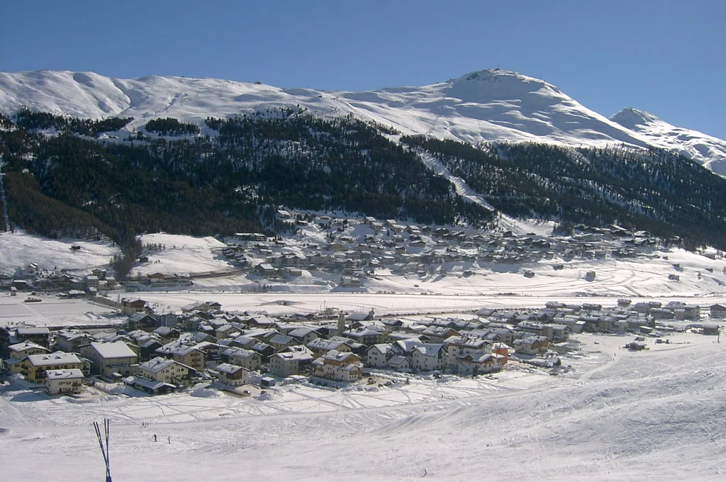
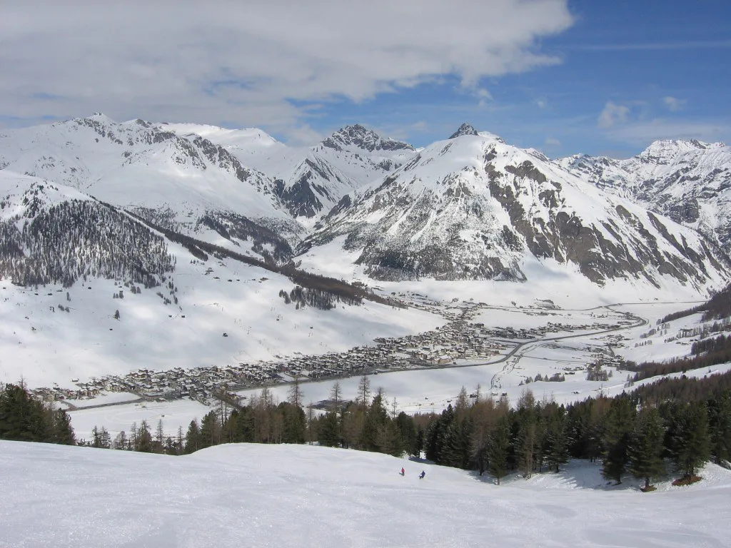
Livigno sits high in the Italian Alps close to the Swiss border, in Lombardy's Alta Valtellina. The resort is arranged along one main valley floor, with accommodation, shops and lifts strung out over several kilometres, which means the piste map is less a compact circle and more a long spine with ski terrain branching off both sides.
For anyone planning a trip, the map is the single most useful document you can study before booking accommodation or a pass. It tells you which lifts serve which sectors, where the linked areas join, and how far you are from the slopes depending on where you sleep. Use this guide alongside the official Livigno skiing guide to build a realistic plan.
What the Livigno piste map covers
The Livigno ski map covers a long valley running roughly east to west, with pistes and lifts rising on both the northern and southern flanks. The valley floor itself carries the road, the village and the bus network, so the map reads as a series of access points rather than a single base station.
Sectors are generally defined by the lift base they serve and the ridge they climb toward. On the map you will see the western end near the Mottolino side, the central village area, and the eastern end toward Trepalle, with terrain fanning out between them. Recognising these three anchors is enough to orient yourself quickly.
The two main ski areas either side of town
Livigno's skiing is split broadly between the Mottolino side and the opposite flank, which climbs toward the Val Federia and reaches up to the Carosello area, linking across via a series of lifts and pistes. The map makes this division clear because the two sides meet only at specific crossing points, usually via the valley floor or a connecting lift.
This layout matters when you choose a base. Staying near one lift base makes mornings easier but may leave you reliant on the bus for the other side. Checking the map before booking accommodation tells you more than any star rating.
Altitude range and how the map's colour coding works
Livigno's ski terrain sits at high altitude, with the village itself well above 1,800 metres and the top lifts reaching beyond 2,700 metres. The map reflects this with a vertical scale, and the colour coding follows the standard European convention: blue for easier pistes, red for intermediate, black for advanced, and often a separate marking for ski routes or ungroomed terrain.
Read the altitude bands alongside the colours. A blue run at the top of the mountain may still be steeper in pitch than a red lower down, and early-season snow can be thinner at the valley floor. The map's contour lines and lift-top markers give you that context.
Mottolino sector: what the map shows and who it suits
The Mottolino sector anchors the eastern end of the resort and is served by a gondola from the valley floor. On the map you will see a dense cluster of pistes fanning out from the top station, with a mix of wide blue and red runs and steeper black options on the upper mountain.
This side suits intermediates who want long, consistent cruising and advanced skiers looking for steeper pitches and off-piste access. The snowpark is also marked here, making Mottolino the obvious choice for freestyle skiers and riders. Beginners have a dedicated zone near the base.
The opposite side of the valley: linked lifts and through-routes
The northern flank, accessed from the central village and eastern end, links a series of lifts — including the Carosello — that climb toward the ridge above Livigno. The map shows these connections as a chain, and in good snow you can traverse from one sector to the next without returning to the valley floor.
The through-route from the eastern end toward the centre is a useful way to cover ground on a short trip. Check the map's lift-closure markings each morning, because wind or snow conditions can close upper links. The official 3D map is the best tool for visualising how these sectors join.
Beginner zones marked on the map and where to start on day one
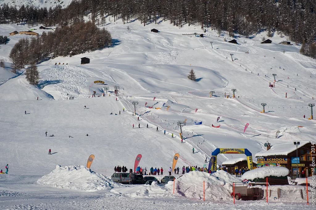
The map marks beginner areas near the valley floor at both the Mottolino base and the central village. These are usually served by short lifts or magic carpets, and they appear as small clusters of very easy pistes close to the accommodation.
If you are starting out, pick the zone nearest your hotel rather than the one with more terrain. The first day is about getting comfortable on snow, not covering distance. Book lessons through the local ski school, and check our Livigno ski lessons guide for how to match a school to your level.
Which map areas suit intermediates versus advanced skiers
Intermediates will find the widest choice on the Mottolino side, where long blue and red runs let you build rhythm without repeatedly returning to the base. The central sectors also offer generous cruising, and the map's red lines show where the gradient steepens enough to be a step up.
Advanced skiers should head for the upper black runs and the marked ski routes on both flanks. The map distinguishes groomed pistes from ungroomed routes, and this is where the difference between a red piste and a black route becomes concrete. Off-piste access is marked but should be treated with the usual caution.
Lift types and how to read the map's lift symbols
Livigno's lift network includes gondolas, chairlifts and surface lifts, and the piste map uses different symbols for each. Gondolas and chairs are shown as solid lines with station dots, while surface lifts and magic carpets appear as shorter, thinner marks.
The map also indicates lift capacity indirectly through the number of parallel lines or the width of the symbol. A high-capacity gondola will move you up the mountain faster than a surface lift, which matters when planning a short day. Use this to sequence your runs so you spend more time skiing than queueing.
Snowpark and terrain features shown on the map
The snowpark appears on the map as a distinct marked area within the Mottolino sector, with specific symbols for jumps, rails and other features. It is groomed and maintained through the season, and the map shows its position relative to the main pistes so you can avoid it if you are not riding park.
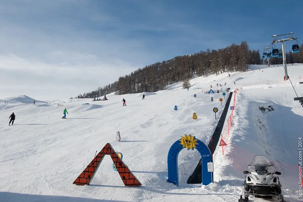
For families and beginners, the map also marks the kids' fun park and kindergarten areas near the base. These are worth locating if you are skiing with children, because they sit close to the beginner slopes and the valley-floor facilities.
Cross-country and non-lift terrain shown on the official map
Livigno has a substantial cross-country network, and the official map shows the nordic trails as a separate set of lines, often in a different colour. The trails run along the valley floor and into the side valleys, including the Val Federia direction, and are not served by the alpine lifts.
If you plan to split your trip between downhill and cross-country, use the map to see where the two networks meet. The cross-country ticket is sold separately from the alpine pass, so decide which you need before buying. Our Livigno ski pass guide covers the pass options in detail.
Using the 3D map and live webcams alongside the paper piste map
The official Livigno site publishes an interactive 3D map that lets you tilt and rotate the terrain, which is far more revealing than a flat piste plan for understanding how the sectors connect. Pair it with the live webcams to see current snow cover and visibility before you head out.
The site also lists live lift status and snow data, so you can check what is open on the morning of your ski day. Use the paper map for pocket reference and the 3D tool for planning at the accommodation. This combination is more useful than either alone.
Maps for accommodation: matching your base to the nearest lift
Because Livigno stretches along the valley floor, the distance from your accommodation to the nearest lift varies a lot. The map shows lift bases clearly, so before booking, identify which base is closest to the address you are considering. A hotel near the Mottolino gondola suits skiers who want to be on the mountain quickly.
Staying in the central village puts you within reach of both flanks but may mean a short bus ride either way. The resort runs a local bus network along the valley, so check the map for bus stops near your accommodation. Use this to decide whether you need a car, which is rarely necessary once you are in Livigno.
Getting the map in your pocket: app, downloads and printed copies
The official MyLivignoPass app includes the resort map and is the most convenient way to carry it on the mountain. You can download it before you travel, and it works alongside the live lift status tools on the website.
Printed copies are usually available at the lift ticket offices and the tourist office in the village. Pick one up on arrival and keep it in a pocket, since phone batteries drain quickly in the cold. If you need ski hire, our Livigno Ski hire guide explains where to find rental shops near the main lift bases.
Pass products and how the map helps you plan value
The map shows the full extent of the lift network, which helps you judge whether a full-area pass is worth it or whether a limited pass would cover your plans. If you only ski the beginner zone or stay on one side of the valley, a smaller product may be enough. Check current prices and pass options on the official site before you buy, as these change by season.
Getting to Livigno and moving between the base areas
Livigno is reached by road from the Swiss side via the Munt la Schera tunnel or from the Italian side via Bormio. The nearest airports with reasonable transfer times include Bolzano, Innsbruck and St. Gallen-Altenrhein, all roughly two and a half hours by road according to J2Ski. Once in the resort, the valley bus connects the lift bases and the village.
The approach roads can be affected by snow, so check conditions before travelling. The tunnel is tolled, and the official Livigno site sells tunnel tickets through its e-shop. If you are planning a longer trip, the Livigno Skiing Guide covers the resort in more depth.
Practical map-reading habits for a short trip
On a short trip, pick two sectors and get to know them properly rather than trying to cover the whole map. Start each day by checking the live lift status and the weather on the official site, then choose the side of the valley that suits the conditions. If wind closes upper links, the map helps you find alternative lower routes.
Mark your accommodation and your chosen base on the map, and plan your lunch stops around the lift bases so you do not waste time traversing. A little map study the night before makes the skiing day smoother. For a comparison of how another resort's map is organised, the Canazei piste map guide is a useful reference, especially if you are weighing a Dolomites resort against Livigno.
Plan Your Visit
The Livigno piste map is the key to planning a ski day that matches your ability and your base. The two-sided valley layout means your choice of accommodation should follow the lift map, not the other way round. Study the sectors, note the lift connections, and check the official 3D map before you go.
For lift passes, lessons and hire, use the detailed guides on this site to fill in the practical details. Then pack the map and make the most of the high-altitude terrain.
Frequently Asked Questions
What does the Livigno ski map show?
The Livigno ski map shows the resort's two main ski flanks either side of the valley, the lift network, piste colour coding, beginner zones, the snowpark, and cross-country trails. It is designed as a planning tool to help you choose where to base yourself and which sectors to ski.
Which side of Livigno should I ski first?
Start on the side closest to your accommodation. Mottolino suits intermediates and freestyle skiers, while the opposite flank links toward the Passo dello Stelvio direction and offers long cruising and access to the upper mountain. Beginners should head to the beginner zone nearest their hotel.
Do I need the app or can I use a paper piste map?
Both are useful. The MyLivignoPass app carries the map and live status, while printed copies are available at lift ticket offices and the tourist office. Use the app to plan at your accommodation and the paper map on the mountain for quick reference.
Where is Livigno located?
Livigno is in the Alta Valtellina in Lombardy, northern Italy, close to the Swiss border. It sits at high altitude and is reached by road from the Swiss side via the Munt la Schera tunnel or from the Italian side via Bormio.
How snow sure is Livigno?
Livigno's resort base and upper slopes are high, which helps snow reliability through the winter. The official site publishes live snow depth and lift status, so you can check conditions before travelling. Snowmaking covers many of the main pistes.
Sources
Useful notes for your next ski trip
Optional updates to our Alpine resort guides.
You might also like
Continue reading
More guides you'll find useful