Kitzbühel Ski Map: KitzSki Sectors and Lift Connections
Read the Kitzbühel ski map by sector: Hahnenkamm, Jochberg, Pass Thurn, Kitzbüheler Horn and standalone areas, with the documented lift links explained.
On this page
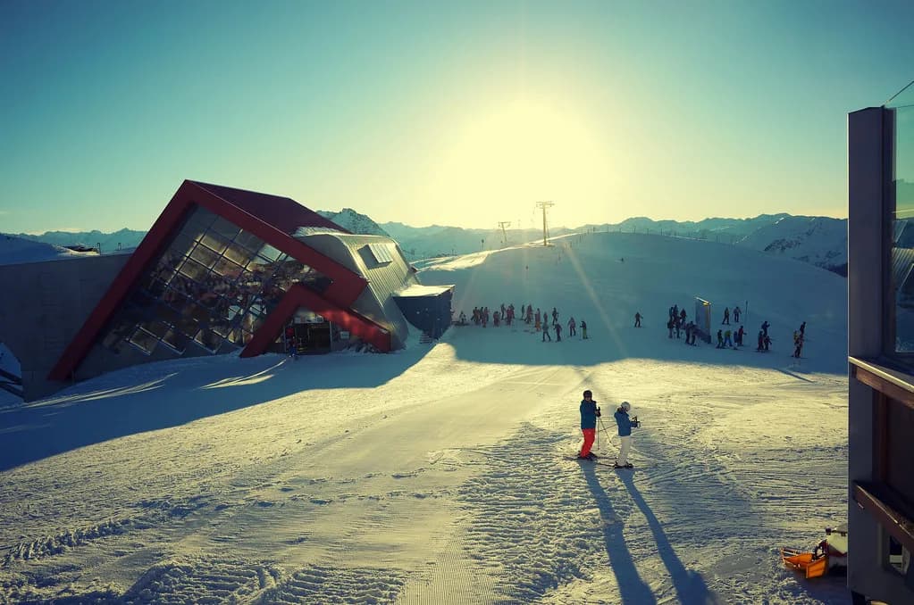
The Kitzbühel ski map rewards a sector-by-sector reading rather than a single-glance one. The Kitzbühel tourist office describes a KitzSki piste area of 233 kilometres of slopes and 58 ski lifts across Kitzbühel and the villages of Reith, Aurach and Jochberg, and that whole area is not one ring. Some sectors join by piste and lift; others sit apart and are reached through the valley.
That distinction drives every practical decision the map can help with: which sector to base a day around, which lift to start from, and whether a planned route needs a bus leg. It also explains why the map is worth pairing with live tools, since a printed or downloaded map shows what exists, not what is turning. For the wider resort context behind these sectors, the Kitzbühel Skiing Guide covers the resort as a whole.
What the Kitzbühel Ski Map Actually Covers
Start with the extent, because the map's boundaries are the first thing that trips people up. The Kitzbühel tourist office counts 233 kilometres of slopes and 58 ski lifts in the Kitzbühel area covering Kitzbühel, Reith, Aurach and Jochberg, and that figure should be your reference point rather than third-party totals that circulate online and disagree with each other. If you see a far larger terrain number attached to Kitzbühel, treat it as a different measurement or an error.
You will also encounter a small internal inconsistency worth knowing about before it confuses you: the ski-area description gives 58 lifts, while the live lift-status counter on the Kitzbühel tourism site has shown a total of 59. Neither number changes how you read the map, but it is a reminder that counts and status pages are maintained separately. The map's real job is showing sectors, access lifts and where piste connections stop.
Hahnenkamm, Pengelstein and Kirchberg: The Western Core
The western side of Kitzbühel is the dense core, built around the Hahnenkamm and running across to Pengelstein and Kirchberg. KitzSki lists the main access lifts here as A1 Hahnenkammbahn, B1 Fleckalmbahn, B2 Maierlbahn and D1 Pengelstein I, which matters because it means the same core can be entered from more than one valley point. Choosing your access lift is often a bigger decision than choosing your sector.
This is also where the map's most recognisable lines sit, including the Streif race course and the Familien-Streif run that follows it, giving views of sections such as the Mausefalle, Hausbergkante and Zielschuss. The map shows these as terrain, not as a challenge or a recommendation, and the same area carries gentler ground alongside the steep sections. A third-party piste-map page illustrates the same principles of slopes, hut locations and lift access points on one sheet.
Jochberg and Pass Thurn to Resterhöhe: The Southern Chain
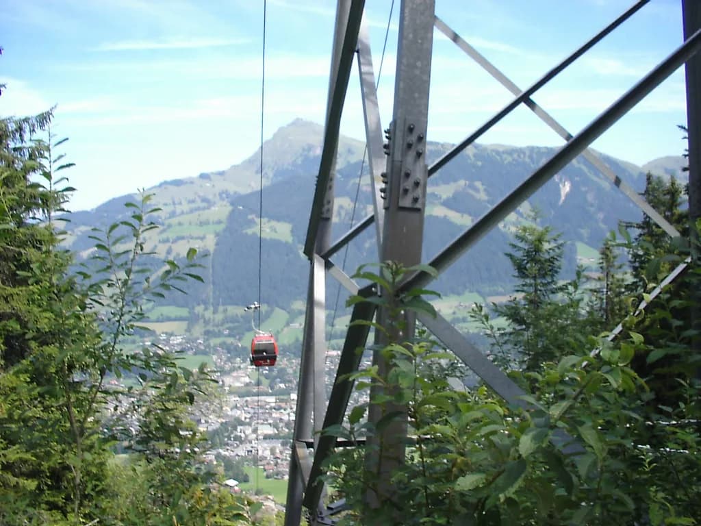
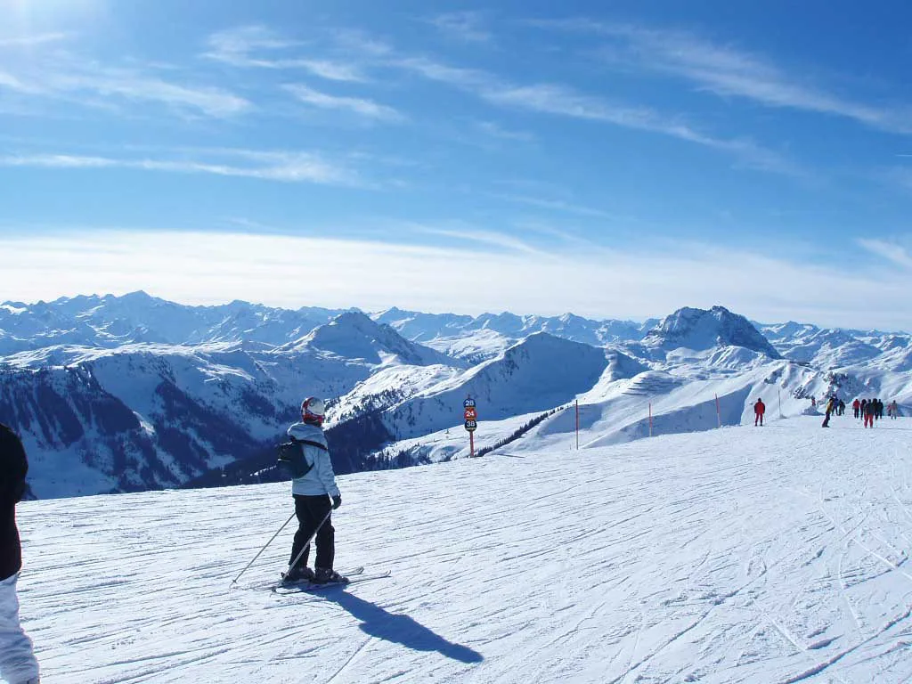
The documented piste-side link between the Hahnenkamm and the southern sectors is the D9 3S cable car, which connects onward to Jochberg and Pass Thurn. From Jochberg, the F1 Wagstättbahn is the access lift into the sector, while the Pass Thurn and Resterhöhe end is served by G1 Resterhöhe and the G8 and G9 Panoramabahn. On the map, this is the chain that lets you ski out and back across a long day instead of looping one core.
Read the character differences off the map before committing to the trip south. Jochberg's slopes are generally described as less crowded than the Hahnenkamm core, and KitzSki notes two blue runs from the top station of the Wagstättbahn for skiers staying on easier ground, plus a free practice lift in the valley. Pass Thurn sits furthest from Kitzbühel and holds the area's snow park, so a family group and a park-focused group may want to split here.
Standalone Areas the Map Does Not Link
The Kitzbüheler Horn is the clearest example of a map reading that a graphic alone does not make obvious. It is a separate area with 11 runs, reached by the H1 Hornbahn I, and it is not connected to the Hahnenkamm by pistes or lift facilities, so travelling between the two means going through the valley. KitzSki describes it as suitable for families and groups with mixed ability, with all parts of the area reachable in a maximum of two lift rides.
Other standalone pieces are smaller but still appear on the map and need the same treatment. Bichlalm is a ski touring and winter hiking area served by the H11 Bichlalm chairlift, Reith has beginner lifts and short slopes, and Gaisberg is the tobogganing hill with a ski slope and touring route. None of these connect by piste to the core, so they are separate days rather than detours.
Where the Map Ends: Cross-Area Links
The map's edge is not the skiing edge, and the KitzSkiWelt Tour is the reason. It links KitzSki with SkiWelt Wilder Kaiser-Brixental, and the longest version runs 88 kilometres with 17,232 vertical metres across 30 blue, 27 red and one black run, from Pass Thurn to Scheffau am Wilden Kaiser and back. The critical detail for map reading is that the two areas are joined on that route by a short, free ski bus between Pengelstein and Ki-West rather than by lift alone.
Two checks belong before you treat that circuit as a plan. KitzSki advises confirming which lifts are open, the bus timetable and your ski pass validity for the route, because a circuit of this shape depends on connections holding. Separately, the Ikon Pass changes which lifts matter for holders, with included KitzSki days under the relevant pass tier and no separate day pass required during those days. Your own pass type and its scope are worth settling alongside your Kitzbühel Ski Pass planning.
Checking the Map Live Before You Rely on It
A piste map is a static document, so it cannot tell you what is turning on the day you arrive. KitzSki publishes the official KitzSki piste map alongside a Ski Panorama view and a lift-status page, and those live tools are where open lifts, closed links and running status appear. A scheduled winter season is conditional; lifts, connections and pistes can be closed, so the map tells you what exists, not what is guaranteed.
Third-party piste-map pages have a different role rather than a competing one, since they typically reproduce slope layouts, mountain hut locations and lift access points and show external connections in one view. That is useful for orientation the night before, and for understanding how a sector links to its neighbours, but it is not an operating status. Use the map for structure, the live tools for conditions, and check pass validity with KitzSki rather than inferring inclusions from a lift name.
Reading the Kitzbühel Ski Map Before You Book
The practical sequence is straightforward: choose a sector first, then the access lift, then check the connection you depend on. If your plan needs the Hahnenkamm and Jochberg in one day, it rests on the D9 3S cable car; if it needs the Kitzbüheler Horn as well, it needs valley travel by bus. Building a day around one sector and one link is far more reliable than assuming the whole map joins up, and the same holds true when you read a Kaprun piste map Guide for another ski area.
Before travelling, confirm lift status and pass validity with the Kitzbühel Bergbahn AG (KitzSki), and treat any count or terrain figure you see elsewhere with caution. If you are still deciding between resorts, a comparison with an Ischgl ski map is a fair next step, but for Kitzbühel itself the sector logic above is the part that changes how a day actually runs.
Frequently Asked Questions
Is the Kitzbüheler Horn connected to the Hahnenkamm by lift or piste?
No. The Kitzbüheler Horn is a standalone area reached by the H1 Hornbahn I and is not linked to the Hahnenkamm by pistes or lift facilities, so moving between the two means travelling through the valley by road or bus. It holds 11 runs, and all parts of it can be reached in a maximum of two lift rides.
Which lift connects the Hahnenkamm to Jochberg and Pass Thurn?
The D9 3S cable car is the documented piste-side connection from the Hahnenkamm toward Jochberg and Pass Thurn. From Jochberg, the F1 Wagstättbahn is the access lift, and the Pass Thurn and Resterhöhe end is served by G1 Resterhöhe and the G8 and G9 Panoramabahn.
Where can I view the official KitzSki piste map and live lift status?
The official winter pages carry the KitzSki piste map together with a Ski Panorama view and a lift-status page. Use the map for sector structure and the live tools for what is actually open, since a static map cannot show same-day closures on lifts, links or pistes.
Are Bichlalm, Reith and Gaisberg part of the connected KitzSki area?
No. Bichlalm is served by the H11 Bichlalm chairlift, Reith has beginner lifts and short slopes, and Gaisberg is the tobogganing hill with a ski slope and touring route. None of these connects by piste to the Hahnenkamm core, so each works as its own outing rather than a detour within a linked ski day.
Sources
Useful notes for your next ski trip
Optional updates to our Alpine resort guides.
You might also like
Continue reading
More guides you'll find useful