
Ischgl Ski Map: How to Read the Silvretta Arena Piste Map
Understand the Ischgl ski map: Silvretta Arena sectors, the Samnaun link via piste 80, lift types, the claimed 239 km of slopes and live status tools.
On this page
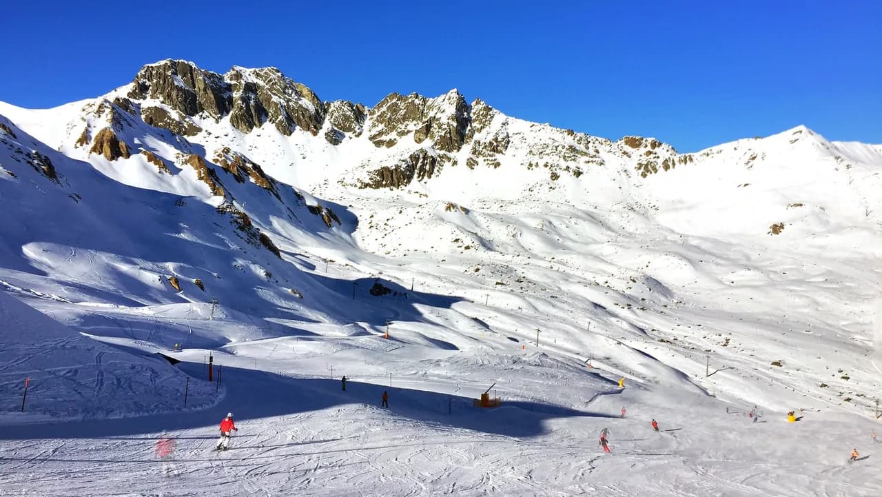
The Ischgl ski map is not a single-resort plan. It shows the Silvretta Arena, a cross-border ski area shared by Ischgl in Tyrol and Samnaun in Graubünden, so two national lift systems appear on one sheet. Understanding which valley each sector belongs to is the first practical decision a reader makes.
Approach the map as a sectors-and-boundaries document rather than a run tick-list. Named lifts and numbered pistes tell you how you move between sectors, where a pass boundary falls and how a return leg is planned. The detail worth trusting is Silvrettaseilbahn AG's own, which publishes slope-length methodology and live status rather than headline claims alone.
Why the Ischgl Map Is Really a Two-Country Map
The Silvretta Arena straddles the Austrian-Swiss border, with Ischgl on the Tyrolean side and Samnaun on the Graubünden side. A single lift system links the two, which is why the piste map labels installations across both villages rather than stopping at the frontier. Readers planning a day should therefore identify which valley each sector sits above before choosing a base.
That cross-border structure is the defining feature of the map, and it shapes everything from lift choice to the way a return leg is planned. Samnaun is in Switzerland, so the Swiss side is reached by skiing across through the Silvretta Arena. The map’s value is in showing that connection clearly, sector by sector, instead of treating the area as one undifferentiated mountain.
How the Official Piste Map Is Structured
An official piste plan separates three kinds of information: lift installations, marked pistes and ski routes. Lifts are listed by name and type, from cable cars and gondolas to chairlifts, surface lifts and magic carpets, while pistes carry numbers and difficulty colours. Ski routes are distinguished from marked pistes, a distinction worth noting because they are not managed in the same way as groomed runs.
The mountain status feed illustrates the scale involved: dozens of installations and pistes are listed for the area, each with its own operational state. Rather than memorising numbers, note the sector a lift belongs to and the direction its piste runs. That habit makes the plan usable on the day even when individual lines show as closed.
Reading the Ischgl Side: Sectors and Lift Types
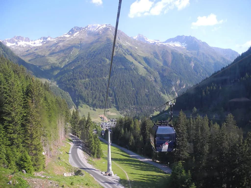
The Ischgl side is organised around a series of named sectors served by different lift categories. Large cabin installations such as the Pardatschgratbahn and the Fimbabahn move high volumes out of the valley, while the Piz Val Grondabahn and the Idjochbahn serve specific upper sectors. Chairlifts such as the Greitspitzbahn and the Viderjochbahn then distribute skiers across the higher ridges.
Lift category describes capacity and enclosure, not difficulty. A gondola and a chairlift can serve the same broad sector, and a surface lift or magic carpet typically indicates a beginner or access area rather than a demanding descent. Read the terrain from the piste colour and the sector from the lift name, and avoid inferring difficulty from a name alone.
Reading the Samnaun Side and the Cross-Border Link
The Samnaun side centres on the Alp Trida sector, reached from the Ischgl side via the connecting installations across the ridge. From there the Swiss valley runs down towards Samnaun Dorf and the Laret area. Piste 80 is the long marked run towards Samnaun Dorf, and piste 60 heads towards Laret, giving two distinct descent options into the village area.
Treat the crossing as a pass-boundary and return-planning decision, not a scenic detour. Before committing, confirm that your ticket covers the whole Silvretta Arena and check whether the connecting lifts and the descent back are running on the day, because operation is conditional and status changes. That check belongs in the ischgl ski pass planning rather than being assumed from the map.
What the 239 Kilometres Actually Measures
Silvrettaseilbahn AG states the Silvretta Arena comprises 239 kilometres of slopes, broken down as 47 km easy, 140 km medium, 37 km difficult and 15 km of ski routes. These lengths are GPS-assisted measurements of marked runs between mountain and valley stations. The surveying, audited by AVT-ZT-GmbH, is described as two-dimensional, without altitude correction.
That methodology explains why a personal tracker rarely matches the published total. A tracker records the line actually skied, including the effect of turns, speed and style, while the official figure measures the route itself. A secondary listing has been seen giving a different difficult-slope total; the Silvrettaseilbahn AG breakdown is the one to follow. Treat all of these as descriptive measurements, not as skiable distance for an individual.
Using Live Status and Webcams With the Map
A paper or PDF map shows the layout; it does not show what is turning today. Lift and piste status changes with weather, maintenance and snow conditions, and the mountain feed publishes current lift and piste states for the area. Check that feed alongside the plan before setting out, and re-check during the day if a return leg depends on a specific connection.
Webcams give a second, visual check on conditions in named locations on both sides of the border, including the Alp Trida area and Samnaun. Use them as confirmation of the status feed rather than as a substitute for it. Neither tool guarantees that every lift, link or piste will open, because winter operation is conditional.
Plan Your Visit
Read the Ischgl piste map in four steps: identify whether a sector is on the Ischgl or Samnaun side, note the lift category serving it, check the piste colour and number, then confirm that the relevant installation and run are running. The same sector-by-sector reading works on other cross-border plans too, such as the Kaprun Piste Map. That sequence turns a busy plan into a workable day.
Keep the official slope figures in perspective: 239 km with 47 km easy, 140 km medium, 37 km difficult and 15 km of ski routes is a survey of marked terrain, not a promise about any individual descent. Before travelling, check ticket coverage, current status and conditions through Silvrettaseilbahn AG, because the plan shows what exists rather than what will be open.
Frequently Asked Questions
Does the Ischgl ski map cover the Samnaun side as well?
Yes. The map covers the Silvretta Arena, a cross-border area joining Ischgl in Tyrol with Samnaun in Graubünden. Sectors on both sides appear on one plan, with connecting lifts across the ridge above the two valleys. When reading it, identify which valley each sector sits above before deciding where to ski.
Which pistes connect Ischgl with Samnaun Dorf?
The long marked descent towards Samnaun Dorf is piste 80, and piste 60 heads towards Laret. Both run from the higher connecting terrain into the Swiss valley. Because operation is conditional, confirm that the connecting lifts and your chosen descent are running on the day before committing to the crossing, and plan the return leg in advance.
How many kilometres of slopes are in the Ischgl and Samnaun ski area?
The Silvretta Arena has a total of 239 kilometres of slopes: 47 km easy, 140 km medium, 37 km difficult and 15 km of ski routes. These figures are GPS-assisted measurements of marked runs, taken two-dimensionally without altitude correction and externally audited, so they describe the terrain rather than what you will personally ski.
Why does my GPS reading differ from the official slope distance?
Official lengths measure the route between mountain and valley stations without altitude correction, while a tracker records the line you actually skied, including the effect of turns and speed. Technique and style vary, so personal readings will not match published figures. Use the official numbers for scale and your tracker for personal interest, not the other way round.
Sources
Useful notes for your next ski trip
Optional updates to our Alpine resort guides.
You might also like
Continue reading
More guides you'll find useful
.jpg)