Cervinia Ski Map: Sectors and Lift Links Explained
Read the Cervinia ski map as sectors and lift links, from Breuil-Cervinia up toward Plateau Rosa, and see which connections shape your day.
On this page
Most people open the Cervinia piste map expecting a simple list of runs and instead find a chain of sectors joined by a handful of decisive link points. The map groups the Breuil-Cervinia and Valtournenche lift and slope inventory inside the wider Cervino Ski Paradise framing published by Cervino S.p.A., which also applies to Chamois, Torgnon and Zermatt. That matters because the crossing you choose, not the number of pistes printed on the sheet, usually decides which terrain you can realistically reach. Readers comparing how another resort lays out its sectors and links will find a similar approach in this Canazei Ski Map guide.
The sensible approach is to read the map downwards from the village base and mark the stages where you change lifts, then treat each cross-border or inter-resort link as a separate decision with its own route and pass question. A scheduled season opening is a planning date, not a promise that every sector or connection will run, so confirm the current picture for your own travel dates before you commit to a crossing.
Why the Cervinia map is a links decision
The Cervinia ski map is better understood as a set of access nodes than as a trail count. Base lifts climb through mid-mountain stations before reaching the high terrain, so your day forms around the sequence of nodes you string together rather than around a single summit. If you plan only by total kilometres, you can miss that some sectors sit behind a change of lift and a link point that closes the route when it is not running.
Two features dominate that structure. The first is the ladder of lifts rising from the village towards Plan Maison and beyond; the second is the tiny number of connections that take you out of the Cervinia basin entirely. Treat every link as a conditional part of the map: it exists on paper, but whether it operates on your date depends on Cervino S.p.A.'s live status tables, weather and the scheduled season rather than on the map alone.
The valley base: Breuil-Cervinia, Plan Maison and Cielo Alto
Breuil-Cervinia sits at the bottom of the lift chain, and the lower stations above it act as the first sorting points of any day. In the Breuil-Cervinia and Valtournenche inventory, the named lower nodes include the village-to-Plan Maison stages and the Cielo Alto sector, with connecting slopes such as Cretaz, Plan Torrette and the Cielo Alto runs sitting between them. Reading those names lets you decide early whether you are heading up the main ridge or across to a different departure point.
Because the village is the collection point, anything that delays the first climb ripples through the rest of the plan. Prefer a base sector that keeps you close to the lift you intend to ride first, and treat the lower stations as places to re-evaluate rather than as terrain in their own right. If your plan depends on reaching the far end of the map before midday, that first sequence is the constraint worth protecting.
Mid-mountain and high nodes: Pancheron, Cretaz, Fornet and Plateau Rosa
Above the valley, the map names a series of stages that do the real work of moving you around the mountain. Pancheron, Cretaz, Fornet and the higher Bontadini area appear as lift or slope nodes that sit between the base and the top, and the Laghi Cime Bianche sector connects the upper terrain towards the Plateau Rosa area. These are the names to letter onto your own plan, because changing at the right node is usually faster than trying to cross the whole map in one push.
Altitude is the other reason the high nodes matter. The upper stations sit well above the village, and the link towards the Zermatt side runs from that highest band rather than from the valley floor. That means any plan involving the top of the map must be built around reaching the high sector first and holding enough time to descend afterwards, rather than treating the top as an incidental stop.
Cross-border crossings and the Valtournenche link
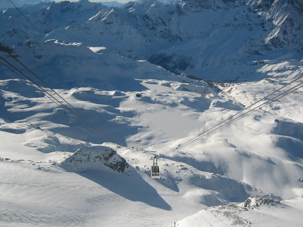
The map shows three distinct outward connections, and they behave differently. Towards Zermatt there is a crossing via Plateau Rosa and a separate connection via Teodulo, while the Valtournenche link reaches a different valley entirely. Because each is a documented map feature rather than a slope name, each creates its own pass-boundary and return-timing question that you should settle before riding towards it.
Do not assume that a lift name tells you what a crossing ticket includes. Whether a day pass covers the far side, and whether a return is feasible in the time available, are questions answered by the tariff documents and pass rules rather than by the map graphic. The practical move is to mark each crossing as a branch on your plan and decide in advance how much of the day you are willing to spend beyond the point of no easy return.
Reading the official map inventory and status tools
Cervino S.p.A. publishes the piste map, downloadable lift timetables and the current tariffs in one place, alongside live status tables that update through the day. The status view lists lift type and slope grade, so it doubles as a readable sector list when you are working out which node serves which terrain. Use it to learn the map's vocabulary, not to memorise any single snapshot as the winter picture.
A third-party slope and lift inventory on Skilife covers the Breuil-Cervinia and Valtournenche sectors and is useful for checking the names of individual runs and their numbering. Its status column, however, reflects whatever moment it was last refreshed and should not be read as the winter operating plan. Use it alongside Cervino S.p.A.'s own tools, and give the lift company's published material priority wherever the two disagree.
Turning the map into a day plan
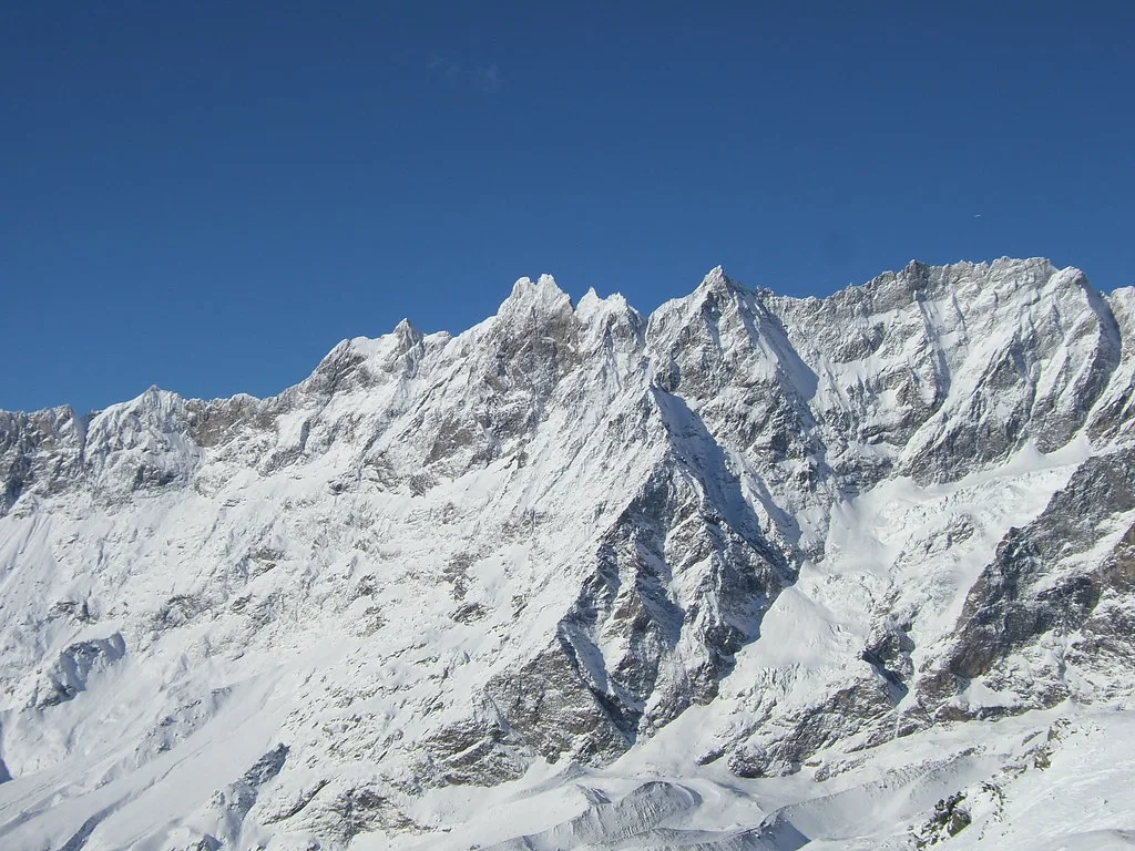
Pick one primary sector for the morning and one realistic alternative, both chosen by the access node that reaches them rather than by the terrain they contain. Build the day around a single climb and a single crossing decision, and leave the second option as a fallback if the first is not running. This keeps you from spending the best part of the day in transit between sectors.
Before you travel, check Cervino S.p.A.'s scheduled season dates, the current status of any link you intend to use, and what your chosen pass actually covers at the boundary. Any of those three can remove a route from the plan without warning, and none of them can be inferred from the map alone. A short check on the day you ride is worth more than a printed sheet assembled weeks earlier.
Plan Around the Links, Not the Legend
The Cervinia ski map rewards the reader who traces lift stages and link points before counting runs. Learn the valley base, the mid-mountain nodes and the three outward connections, and the rest of the map becomes a set of choices rather than a wall of names. Everything conditional, from season dates to lift status, belongs in Cervino S.p.A.'s live tools, so check current prices and dates before you set out.
Settle the pass-boundary questions early, keep one flexible sector in reserve, and treat every crossing as something to confirm for your own dates. That way the map stays useful even when part of it is not running.
Frequently Asked Questions
What sectors does the Cervinia ski map cover?
Cervino Ski Paradise covers Breuil-Cervinia, Valtournenche, Chamois, Torgnon and Zermatt. The detailed slope and lift inventory most commonly seen online covers the Breuil-Cervinia and Valtournenche sectors, while the wider area exists as linked sub-areas rather than one continuous block.
How do you get from Cervinia to Zermatt on the piste map?
The map shows two distinct crossings towards Zermatt, one via Plateau Rosa and one via Teodulo. Both are link features rather than ordinary slopes, and whether either is running on your date depends on the published status and the scheduled season, so check current details before planning a crossing.
Is Valtournenche connected to Cervinia by lift?
Yes, the Valtournenche link appears on the map as a separate connection from the Zermatt crossings. Treat it as its own decision: check whether it is operating for your dates and whether your pass covers travel through it, because a connection on the map is not automatically part of every ticket.
Where can you find the official Cervinia piste map and live lift status?
The official piste map, lift timetables and current tariffs are published together, alongside live status tables that update through the day. The status view also lists lift type and slope grade, which makes it a practical way to learn which node serves which sector before you travel.
Sources
Useful notes for your next ski trip
Optional updates to our Alpine resort guides.
You might also like
Continue reading
More guides you'll find useful