Alpbach Ski Map Guide: Reading the Ski Juwel Piste Map
Learn how the Alpbach ski map covers Ski Juwel's four mountains, which sectors link by lift, and how to check live lift and piste status before skiing.
On this page
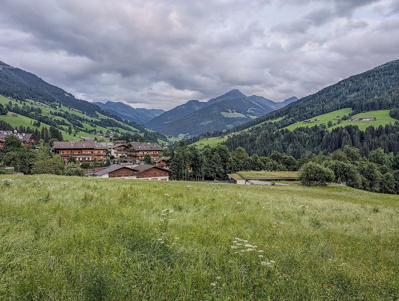
Pull up the Alpbach ski map expecting a village hill and you will be surprised: the plan covers Ski Juwel Alpbachtal Wildschönau, a linked area of four mountains spanning two Tyrolean valleys. Alpbach sits on the Alpbachtal side, so its home slopes are only one quarter of what the map shows. Knowing that changes where you stay and which lift you ride first.
This guide treats the piste map as a planning tool rather than a poster. It explains how the sectors fit together, where the map shows genuine lift connections, which terrain suits which standard, and how to pair the printed plan with the live status page on skijuwel.com. For the wider trip picture, the alpbach skiing guide covers terrain, villages and season planning in more depth.
What the Alpbach Ski Map Actually Covers
The official plan is published as the Ski Juwel piste map, not an Alpbach-only sheet. It shows the slopes above Alpbach and the neighbouring Alpbachtal villages on one side of the region and the Wildschönau valley on the other, linked by a shared lift-pass network rather than a single continuous ski circuit. Read it as a family of sectors sharing one ticket.
That distinction matters when you choose accommodation. A base in Alpbach puts Wiedersberger Horn on your doorstep, while Oberau, Niederau and Auffach sit under the Schatzberg side. Neither is wrong: they are different entry points to the same ski area, and the map makes the trade-off visible at a glance.
Ski Juwel Alpbachtal Wildschönau describes the area as four mountains and two valleys, with Wiedersberger Horn in Alpbachtal and Schatzberg in Wildschönau forming the core, and the Markbachjoch and Reither Kogel cable cars completing the picture. Use that structure as your mental index when you open the map.
The Four Mountains and Two Valleys
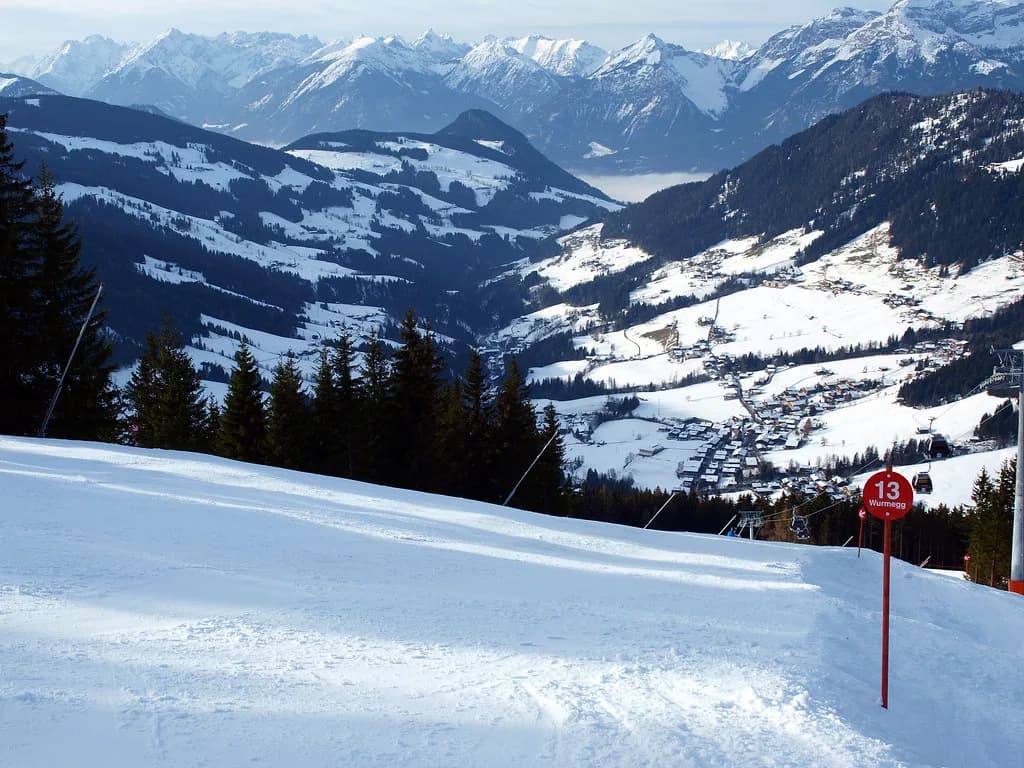
Wiedersberger Horn is the Alpbach sector: the slopes directly above the village, reached by the Hornbahn lifts, with the Top of Alpbachtal viewing tower next to the Hornbahn 2000 top station at 2,030 m. Beginners and early intermediates based in Alpbach will spend most of their week on this part of the map.
Schatzberg, above Auffach in Wildschönau, is the second core sector and the one to study if you want longer, quieter runs. The map marks the Gernalm area and piste 12 on this side, and the summit cross is a short walk from the top lift. Families should note the Schatzberg Zwergenland children's zone here.
Markbachjoch above Niederau and Reither Kogel above Reith im Alpbachtal are the two smaller, lower sectors that complete the four. They are where the map shows night skiing on illuminated slopes at Reither Kogel on Thursdays and Fridays, a detail worth checking on the live status page before you plan an evening.
Orientation by Base: Alpbachtal versus Wildschönau
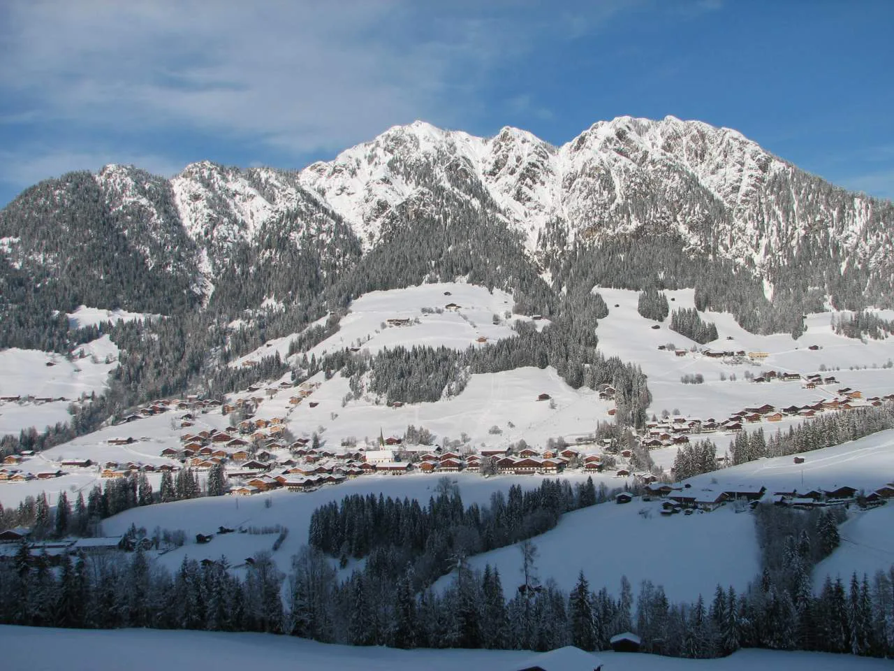
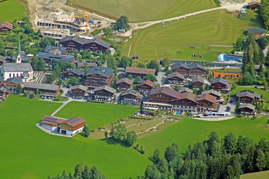
On the Alpbachtal side, the map plots Alpbach, Reith im Alpbachtal and Rattenberg, with Alpbach the clear ski village and the other two better treated as valley towns for accommodation and off-snow days. If your priority is walking to a lift in the morning, Alpbach is the base the map rewards.
Wildschönau spreads across Oberau, Niederau, Auffach and the high hamlet of Thierbach. Auffach is the natural base for Schatzberg skiing, Niederau for Markbachjoch, and Oberau sits between the two as a practical compromise. Thierbach is scenic rather than ski-in, so treat it as a day out, not a launch pad.
Whichever valley you pick, budget for some road or bus time if you want to ski both sides in one week. The map shows the ski sectors clearly, but the valleys are separate and the villages are not all lift-linked to each other.
How the Map Is Drawn: Pistes, Lifts and Colour Coding
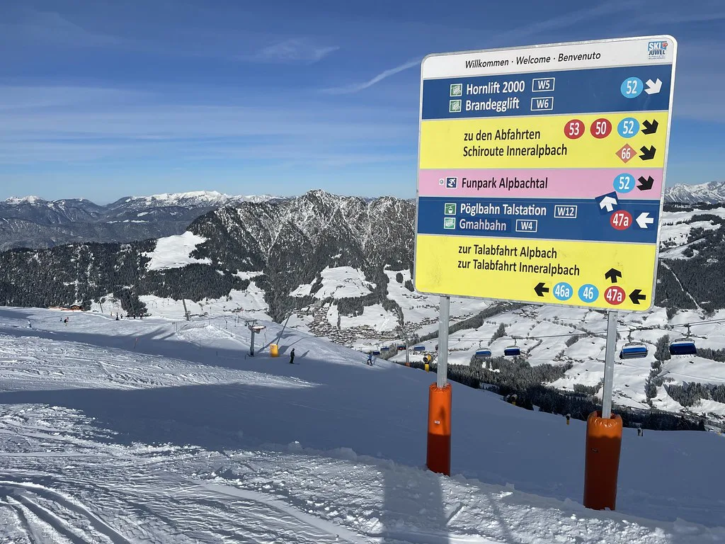
Piste numbers on the Ski Juwel plan let you match a line on paper to the signs on the mountain, which is the single most useful habit for a first visit. Blue lines mark the easiest runs, red the intermediate majority, and black the steepest options; check the legend for the exact conventions used on the current edition, since numbering is revised between seasons.
Lift symbols tell you what kind of climb to expect. The area's lift count includes a large share of surface lifts alongside gondolas and chairlifts, so a route that looks short on the map can still mean several drag rides. If anyone in your group dislikes T-bars, trace the gondola and chair lines first.
The same piste-map listing gives a useful sanity check on difficulty spread, with roughly a third of runs graded intermediate, over half advanced and a small expert share across 72 runs. Treat grading as the resort's own view and cross-check specific runs on the official plan before committing a nervous skier to one.
Ski Juwel in Numbers: What the Plan Represents
Ski Juwel's headline figures are 114 km of pistes, 45 lifts, two snow parks and 25 ski huts and mountain restaurants across the four mountains. Those numbers set expectations: this is a substantial regional area rather than a single-hill resort, but it is not one of the giant interconnected French domains.
A third-party listing on OnTheSnow puts skiable terrain nearer 97 km with 72 runs and a longest run of about 7 km, which shows how much definitions vary between publishers. When a statistic matters to your plan, use the Ski Juwel figure and check the current official plan rather than a secondary site.
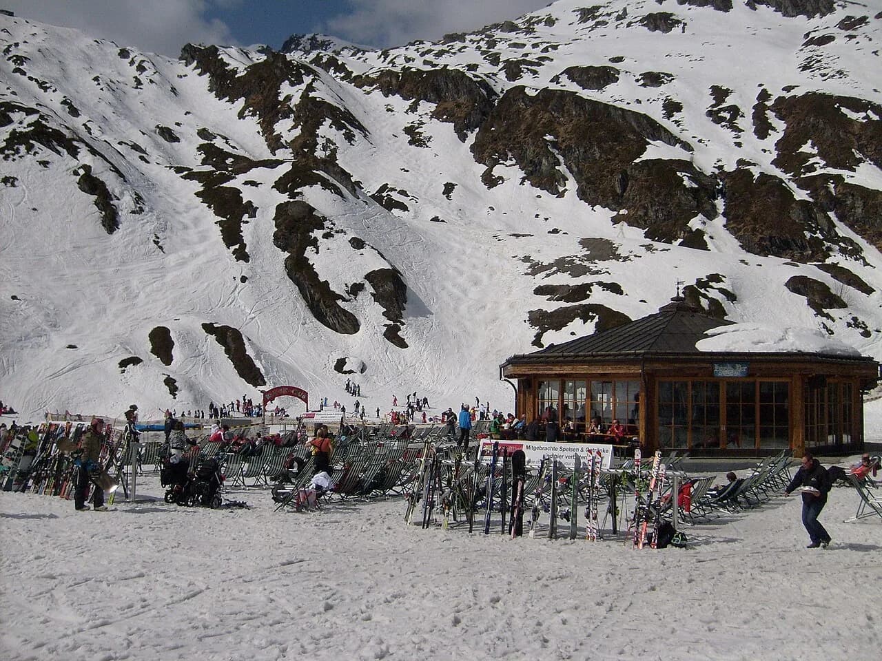
The two snow parks with fun slopes and training elements give park riders a reason to cross the area, and the huts give everyone else a reason to stop. Plot one or two hut lunches on the map before you go rather than defaulting to whichever terrace you happen to pass.
Which Sector Suits Which Ability
Beginners should look first at the dedicated children's zones rather than the top of the map. The JUPPI-DO children's area on the Alpbachtal side and Schatzberg Zwergenland in Wildschönau are purpose-built teaching grounds, and both are marked clearly, which makes choosing a ski school meeting point much easier for parents.
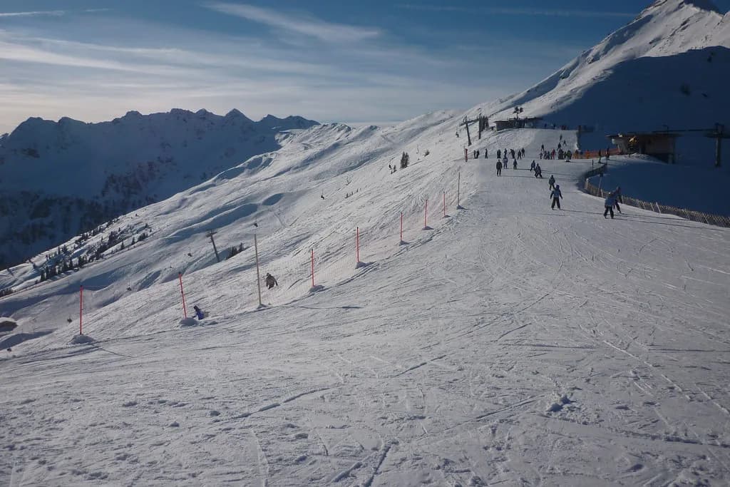
Intermediates get the widest choice: the long blue and red runs off Wiedersberger Horn for confidence building, and the Schatzberg side for cruising with fewer crowds. The map's red network is where most of a typical week will be spent, so check that your accommodation sits near a lift serving it.
Advanced skiers should read the black lines and the freeride notes rather than the groomed network alone. Ski Juwel flags backcountry terrain and snow parks for adrenaline-seekers, but off-piste lines are not marked as patrolled pistes on the plan, so treat anything beyond the marked runs as a decision for a guided group.
Where the Map Shows Real Connections and Where It Does Not
Not every neighbouring sector joins by lift, and the map is honest about this if you look at the lift lines rather than the piste shading. Plan the Alpbachtal day and the Wildschönau day as separate outings unless you are prepared to move between valleys by road or bus.
A sensible itinerary gives Wiedersberger Horn and Reither Kogel one day, Markbachjoch another if night skiing appeals, and Schatzberg a full day of its own. That rhythm avoids wasting a morning on transfers and lets you learn one sector's lift sequence properly.
If comparing areas helps you calibrate, our Kaprun piste map Guide and the Mayrhofen Piste Map guide show how other Austrian resorts draw their sectors and publish live status.
Piste Map versus Live Status: Check Before You Set Out
A printed or downloaded piste map shows what exists; it does not tell you what is turning today. Ski Juwel publishes an open lifts and pistes overview that lists current availability, and that is the page to check over breakfast, especially in low-snow weeks or after a windy night.
Pair that with the official winter operating times page on skijuwel.com so you are not planning a late-afternoon run on a lift that closes earlier than you assumed. Season opening and closing dates are not fixed in advance here, so check them on the official site rather than trusting an old blog post.
It is also worth noting how much of the area is covered by snowmaking, since that determines which runs survive a thaw. The piste-map listing records snowmaking across roughly 100 km, a useful indicator when you are choosing a week in a marginal month.
Buying Lift Passes: Presale, Ticket Office and Where to Start
Ski Juwel recommends buying ski passes in advance, which saves queuing at the ticket window on arrival morning and lets you start from whichever lift the map suggests. Prices and pass products for the current season are published on the official tickets and prices page, so check the live figures there before you budget.
Your starting lift should follow your base, not the biggest number on the map. Hornbahn for Alpbach, the Schatzberg lifts for Auffach, Markbachjoch for Niederau and Reither Kogel for Reith are the practical entry points, and each has its own queue pattern on peak mornings.
For the full breakdown of pass types, validity across the sectors and presale options, work through the alpbach ski pass guide and check current prices and dates before booking. It sits alongside this map guide rather than repeating it.
Ski Schools and Hire: Finding Meeting Points on the Plan
Ski schools in the area teach from the marked beginner zones, and Ski Juwel links out to local schools and rental providers from its winter pages. When you book lessons, note which zone the school uses, because a meeting point at JUPPI-DO is a long way from one at Schatzberg Zwergenland.
Rental works the same way: choose a shop at the village where you actually start skiing rather than the one nearest your hotel if those differ. Our alpbach ski hire guide covers the practical options, including pick-up and return logistics in the Alpbachtal villages such as Reith im Alpbachtal.
Practical Tips: Meeting Points, Lunch and the 25 Huts
Agree a lunch hut and a regroup time before splitting up, because the four mountains make spontaneous reunions harder than they look. Pick a hut near a lift junction so latecomers can rejoin without a long traverse.
The map shows viewpoints as well as ski infrastructure, and a few are worth a deliberate detour: the snow heart and wooden gate above Pöglbahn on Wiedersberger Horn, the chapel at Markbachjoch, and the bench on piste 12 below Gernalm on Schatzberg. These make good non-skiing targets for mixed-ability groups.
Off the snow, the Alpbachtaler Lauser-Sauser alpine coaster on Wiedersberger Horn runs on selected afternoons, and Ski Juwel lists it alongside tobogganing and winter walking. Check the current days on the official site before promising children a ride.
Plan Your Visit
Treat the Alpbach ski map as two decisions made visible: which valley you sleep in and which mountain you ski first. Alpbach and Wiedersberger Horn suit beginners and short breaks; Wildschönau and Schatzberg reward intermediates who want cruising space and a quieter week.
Before departure, download the official plan and note your sector's lift sequence; on the morning you ski, confirm live lift status and current pass prices on the skijuwel.com site. Our Alpbach skiing guide picks up where the map leaves off.
Frequently Asked Questions
Where can I find the official Alpbach ski map?
The official plan is the Ski Juwel Alpbachtal Wildschönau piste map, published by the area's lift operator. It covers all four mountains and both valleys, so it is the right sheet even if you are staying in Alpbach village. Download it from the operator's winter pages; a third-party copy may show an older lift layout.
How many kilometres of pistes are in Ski Juwel Alpbachtal Wildschönau?
The operator states 114 km of pistes served by 45 lifts, with two snow parks and 25 huts across the four mountains. Some third-party listings quote lower skiable-terrain totals because they define the area differently. Use the operator figure when comparing resorts; the official plan gives the run-by-run layout.
Does the Alpbach ski map cover Wildschönau too?
Yes. The published plan shows Alpbachtal and Wildschönau together, with Wiedersberger Horn and Schatzberg as the two core sectors and Markbachjoch and Reither Kogel completing the four mountains. The valleys are separate, so expect to move between them by road or bus rather than skiing across.
Which Alpbach ski area suits beginners?
Look at the dedicated children's zones on the plan: the JUPPI-DO area on the Alpbachtal side and Schatzberg Zwergenland in Wildschönau. Both are built for teaching and are clearly marked on the map, which helps when choosing a ski school meeting point. The gentle runs above Alpbach itself are the natural next step.
How do I check which lifts and pistes are open?
Use the operator's open lifts and pistes overview, which shows current availability, alongside the winter operating times page. The piste map shows what exists; the live status page shows what is running today. Check it on the morning you ski, particularly in marginal snow conditions or after windy weather.
Sources
Useful notes for your next ski trip
Optional updates to our Alpine resort guides.
You might also like

Continue reading
More guides you'll find useful