Mayrhofen Ski Map: How to Read the Mountopolis Pistes
Use the Mayrhofen ski map to plan around Penken, Horberg, Ahorn and the Rastkogel link, with lift hours, ticket scope and how to check live piste status.
On this page
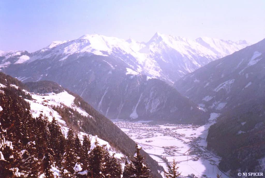
A Mayrhofen piste map rewards ten minutes of study before you book anything. The village sits at the mouth of the Zillertal, and its lift system splits into distinct sectors reached from different access points, so the map is really a tool for choosing a base and a daily plan rather than a single picture of one mountain.
Mayrhofner Bergbahnen publishes a downloadable panorama map and a daily open-lifts overview that together replace any static image you might find elsewhere. This guide explains the sectors, the connections and the lift timings the Mayrhofen Mountain Railways state, so you can read the official map with confidence.
Mountopolis at a glance: where Mayrhofen sits in the Zillertal
Mayrhofen's own lift company markets its terrain as Mountopolis, and that area is one of four big ski regions covered by a single valley-wide pass. The others are Hochzillertal-Hochfügen-Spieljoch, the Zillertal Arena and the Ski- & Gletscherwelt Zillertal 3000, and the Hintertux Glacier at the end of the valley keeps skiing running through the year.
Across the whole Zillertal the published figures come to 546 kilometres of piste served by 181 lifts, with skiable ground between roughly 630 and 3,250 metres. Those are valley totals, not Mayrhofen-only numbers, which is exactly why the Mountopolis map and the Superskipass map are two different documents worth having to hand.
Use the valley figure to judge whether a multi-resort pass makes sense for your week, then use the Mountopolis map to work out how much of that terrain you will realistically ski from a Mayrhofen bed. For the wider planning picture, the Mayrhofen Skiing overview covers terrain, passes and booking in more depth.
Access points on the map: Penkenbahn, Horbergbahn and Ahornbahn
Three valley stations shape everything. The Penkenbahn climbs from the village centre, the Horbergbahn starts down the valley in Hippach, and the Ahornbahn serves the separate Ahorn sector on the opposite side of the valley from Penken. Read the map from those three nodes and the rest of the network falls into place.
For the 2026-27 winter the valley's published operating periods list the Horbergbahn and Penkenbahn from 4 December 2026, with the Ahornbahn following on 12 December 2026; all dates and hours are flagged as provisional. Treat these as planning anchors rather than guarantees and allow for a later season start or an earlier season ending when booking accommodation for your travel week.
Your choice of access point is really a choice of morning queue, car journey and final descent. Staying in Mayrhofen village puts Penkenbahn and Ahornbahn within walking distance of most beds, while Hippach accommodation shortens the drive to Horbergbahn and lets you start on the quieter side of the map.
Reading the two main halves: Penken and Horberg
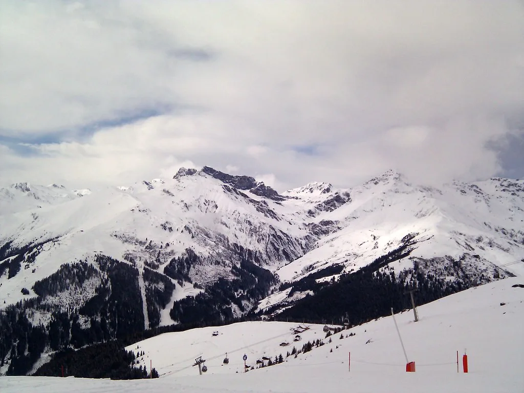
Penken and Horberg form the connected core of the Mountopolis map, with the Penkenbahn and Horbergbahn feeding different ends of the same upland area. The Schneekar and Möslbahn lifts, both named on the Mayrhofner Bergbahnen map key, are the ones to locate early because they mark the higher, more exposed end of the sector and its return routes.
Plan a Penken-and-Horberg day as a loop rather than an out-and-back. Start at one valley station, work across the upper mountain and drop down the far side, then use the village bus or a short drive to collect your car if you left it at the other base. This is the single most useful map-reading habit for Mayrhofen.
Intermediate skiers will spend most of a week on this side, which is where the bulk of the cruising runs concentrate. If you are still deciding how to split your days between sectors, the Mayrhofen ski guide sets out the trade-offs of each base in more detail.
The Ahorn side: a quieter sector on the same map
Ahorn sits across the valley from Penken and is reached by its own cable car, the Ahornbahn, which the Zillertal operating table lists with a 7.30 am start and a season from 12 December 2026 to 4 April 2027. That earlier opening is one of the few genuinely useful details on the map for early risers.
Because Ahorn is not lift-linked to Penken, it reads on the map as a separate lobe rather than a continuation. That makes it a natural half-day or rest-day choice for groups who want a quieter mountain, a different view and a shorter lift circuit, and it removes the temptation to over-schedule.
The Möslbahn, listed with a 12 December 2026 start and a 4 April 2027 finish, serves the Ahorn area alongside the cable car. Check the live open-lifts page on the day you go, since early and late season service on a secondary sector is the first thing to shift with snow cover.
Connections off the map: the Rastkogel link and Zillertal 3000
Look at the top of the Penken sector and you will see the network continue towards the Rastkogel Bahnen, which belong to the Ski- & Gletscherwelt Zillertal 3000 rather than to Mayrhofner Bergbahnen. The Zillertal operating table lists the Rastkogel Bahnen on the same indicative December-to-April calendar as the rest of the valley.
This matters for tickets. If your day involves crossing into the Zillertal 3000 area, you need a pass that covers it, which in practice means the Zillertal Superskipass rather than a Mountopolis-only product. Read your ticket type against the area boundaries on the map before you ride the first lift.
The link also changes your return planning. A crossing into Rastkogel means you finish the day in a different valley position, so check how you get back to your base before committing to the crossing. The Ski pass page on this site explains how the pass products differ.
Named runs to locate before you go
The Harakiri is the run most people look for on a Mayrhofen map, and its value in planning is as a landmark rather than a challenge. Find it, note which lift serves it and read its grading on the Mayrhofner Bergbahnen map legend, then decide whether your group's ability makes it a sensible line or a detour.
Beyond that, use the map to identify which named descents return you to each valley station. Matching runs to exits is how you avoid ending a day on the wrong mountain: pick your final descent by where your car, bus stop or accommodation actually is.
Matching sectors to ability
Beginners are best served by the lower, gentler ground near the valley stations and the dedicated practice areas shown on the map, where short lifts and easy gradients keep the day manageable. Book Mayrhofen ski lessons through a local school before you travel, because first-morning classes fill quickly in peak weeks.
Intermediates have the widest choice: the Penken and Horberg sectors offer the longest continuous cruising, while Ahorn gives a shorter, quieter circuit for tired legs or poor visibility. Advanced skiers should head for the steeper, higher ground marked on the Penken side and treat the Ahorn as a recovery day rather than a headline.
Sorting your equipment early removes one variable from a map-heavy day. Mayrhofen ski hire is spread across the village and Hippach, and collecting near the lift you plan to use first saves a walk with skis.
Lift hours and last ascents: planning the return leg
Mayrhofner Bergbahnen states that lifts generally run from 8.00 am to 4.00 pm, with last ascent on the cable cars at 4.30 pm but last ascent on the Möslbahn and the Schneekar chair at 4.00 pm. The same notice warns that slopes close outside operating hours for preparation, so a late final run is not an option.
The practical consequence is that a big area needs an early start and a planned exit. Work backwards from the last ascent on the lift closest to your base, allow a buffer for a slow final descent, and treat the 4.00 pm Möslbahn and Schneekar cut-off as the hard line if your day includes those lifts.
Hours shift with weather, particularly after heavy snowfall, so the Mayrhofner Bergbahnen daily overview is the version to trust on the morning. Season dates also move, and the Mayrhofen ski season dates summary sets out which published periods to check against your travel week.
Live status tools: the daily overview and panorama map
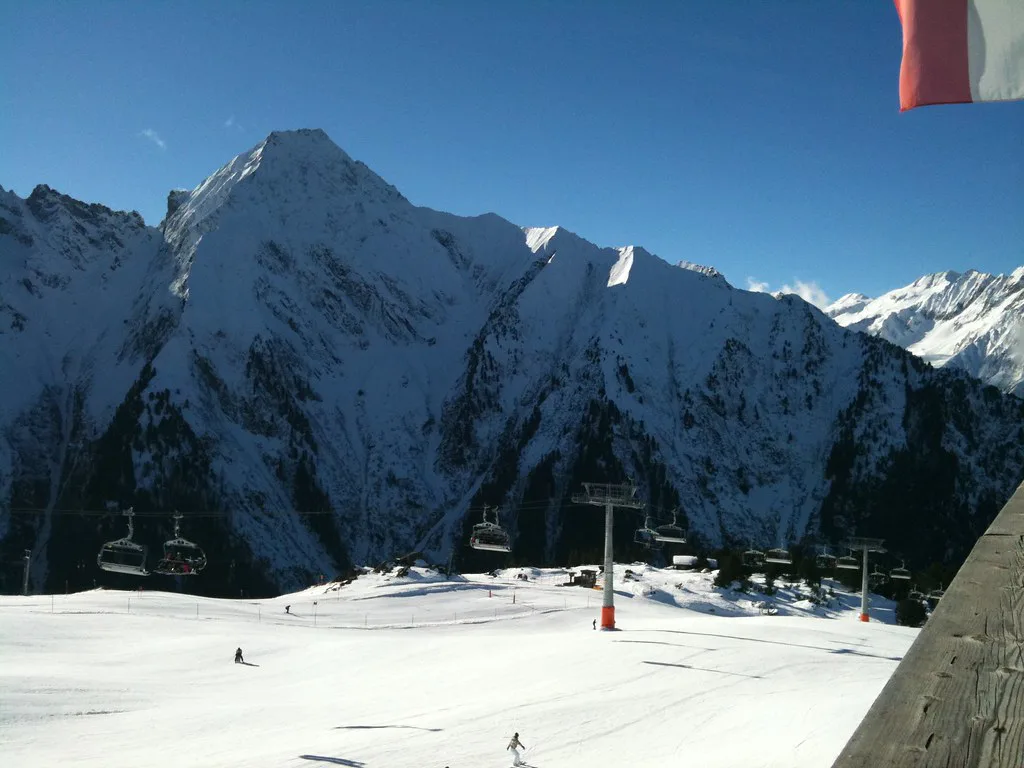
The most useful page on the Mayrhofen site is the daily updated overview of open gondolas, lifts and slopes, which shows what is running, what is closed and what your ticket includes. It sits alongside a downloadable winter panorama and slope map, so you can check status and orientation in one place.
Ski resorts publish a lot of maps and cards, and Mayrhofen gathers them into a single index covering piste maps, ski tickets, the guest card and interactive plans. Bookmark that page before you travel rather than saving a static map image to your phone.
If you are comparing how different resorts present the same information, the Kaprun Piste Map guide shows how another Austrian area handles downloads, labels and live resources.
Mountopolis tickets versus the Zillertal Superskipass
The map tells you which ticket you need if you read the area boundaries carefully. Lines inside Mayrhofner Bergbahnen territory belong to the Mountopolis product, while crossings into the Zillertal Arena, Hochzillertal-Hochfügen-Spieljoch or the Zillertal 3000 require the valley-wide Superskipass, which the Zillertal site describes as valid on all 546 kilometres and 181 lifts.
Buying in advance is possible through the Mayrhofen ticket pages, and the guest card adds discounts at mountain railways and partner businesses. The Mayrhofen Ski pass page compares products, durations and how to buy without guesswork.
Prices are not fixed across the season, so look up the current tariff on the Mayrhofner Bergbahnen ticket page rather than relying on a figure from a previous winter.
Picking a base to shorten your map reading
Base yourself in Mayrhofen village if you want walking access to the Penkenbahn and Ahornbahn and a short bus ride to Hippach. Base in Hippach if Horbergbahn is your preferred morning start and you want a quieter, cheaper-feeling stay away from the centre.
Either way, decide which sector you will ski each morning before you go to bed, not at the lift. Two sectors per day with a full return leg is a comfortable rhythm in Mayrhofen; three is a rush that usually ends with a taxi or a long bus ride.
Plan Your Visit
Treat the Mayrhofen piste map as three access points and two connected halves: Penken and Horberg for the core skiing, Ahorn for a quieter day, and the Rastkogel link for pass decisions. Plan around the lift hours and last-ascent cut-offs Mayrhofner Bergbahnen publish rather than hoping for a late run.
Check the daily open-lifts overview on the morning of each ski day, and match your ticket to the terrain you intend to cross. Everything else is a matter of choosing the right valley station for breakfast.
Frequently Asked Questions
Is Mayrhofen good for skiing?
Yes, and the map explains why: two linked sectors from different valley stations, a separate quieter mountain at Ahorn, and a connection towards the Zillertal 3000. The range of terrain suits beginners through to confident advanced skiers, and the valley-wide pass opens up three further ski regions.
How big is Mayrhofen ski resort?
The Mayrhofen operator publishes its own panorama map showing the Mountopolis sectors, and that is the reliable source for piste and lift counts within the Mayrhofen area itself. Valley-wide figures covering all four Zillertal ski regions are listed by the regional tourism board on its ski areas page.
Where can I get the Mayrhofen ski map?
Download the winter panorama and slope map from the Mayrhofner Bergbahnen open-lifts page, which also shows which lifts and runs are currently running. The Mayrhofen tourism site indexes piste maps, ski tickets and interactive plans in one place.
What is the difference between the Mountopolis ticket and the Zillertal Superskipass?
A Mountopolis ticket covers the Mayrhofner Bergbahnen lifts. The Zillertal Superskipass extends to the Zillertal Arena, Hochzillertal-Hochfügen-Spieljoch and the Ski- & Gletscherwelt Zillertal 3000, and the regional tourism board lists it as valid across the valley's full piste network.
When do the Mayrhofen lifts open and close?
Lifts generally operate from 8.00 am to 4.00 pm, with last cable-car ascent at 4.30 pm and last ascent on the Möslbahn and Schneekar chair at 4.00 pm. Winter operating periods for the 2026-27 season are published by the Zillertal tourism board; check current details before travelling.
Does the Harakiri appear on the piste map?
Yes. Locate it on the official Penken side of the map and read its grading in the legend before deciding whether it suits your group. Treat it as a landmark to find and understand, not a target you have to tick off.
Can I use the Mayrhofen map to plan a multi-resort day?
Yes, but check the ticket first. The map shows where Mayrhofen terrain ends and where the Rastkogel and Zillertal 3000 network begins, and crossings need the Zillertal Superskipass rather than a Mountopolis ticket.
Sources
Useful notes for your next ski trip
Optional updates to our Alpine resort guides.
You might also like
Continue reading
More guides you'll find useful