Wengen Ski Map: Jungfrau Piste Sectors and Lift Links
Read the Wengen ski map for Jungfrau sectors, lift links and pass boundaries across Männlichen, Kleine Scheidegg and Grindelwald before you travel.
On this page
A Wengen ski map answers one question well: how the sectors and lifts join up. It shows the village at around 1,274 m, the links towards Kleine Scheidegg and Männlichen, and how those connect onward to the Grindelwald side. Treat it as a route-planning tool rather than a menu of runs.
One distinction matters from the start. The regional Jungfrau figure and the Grindelwald-Wengen figure describe different footprints, so a map covering the wider region will show more lifts and sectors than the Wengen-Grindelwald area alone. Decide which boundary you are planning against before you commit to a trip.
Which Wengen Ski Map You Actually Need
Start with the Jungfrau piste map published by Jungfrau Railways (jungfrau.ch) rather than a third-party summary. The Bergfex map for the Jungfrau Ski Region Grindelwald-Wengen is drawn from Jungfrau Railways data, so it carries the sector and lift layout that other guides generally copy. Use it as the reference point and compare everything else against it, and if you are weighing a different resort altogether, this Andermatt Piste Map guide shows how a sector layout is read elsewhere.
A printed or PDF map is useful for deciding sector order in advance, but it cannot tell you whether a specific lift is turning on a given morning. Keep the map for structure and a separate live-status source for the day itself. That way a closed link becomes a replan rather than a surprise.
Sector Layout: Wengen Village, Männlichen and Kleine Scheidegg
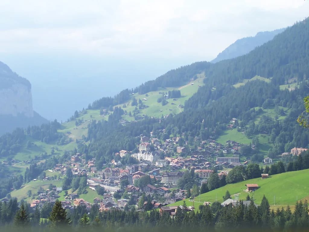
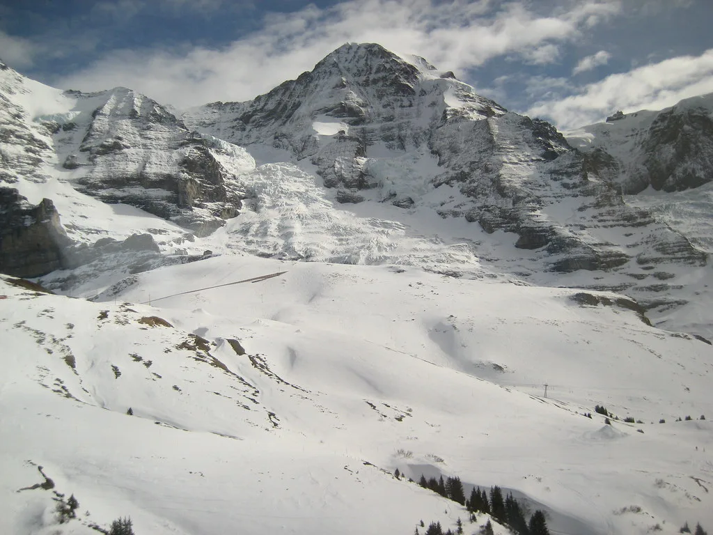
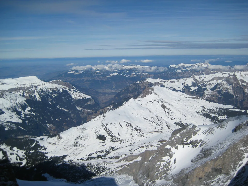
Wengen sits on a terrace above the Lauterbrunnen Valley, and on the map the village reads as the base from which two main directions open up. One line runs up to Männlichen by gondola; the other uses the cog railway towards Kleine Scheidegg. From Kleine Scheidegg the terrain spreads beneath the Eiger north face and continues towards the Grindelwald side.
Männlichen and Kleine Scheidegg have different characters on the map, which is the main reason to study the layout before you ski. Männlichen appears as a broad, open area suited to cruising, while Kleine Scheidegg concentrates the steeper and more varied terrain. Eigergletscher sits further along the cog-railway line, and Grindelwald-First belongs to the wider region beyond the immediate Wengen-Grindelwald connection.
Reading the Lift Connections Between Sectors
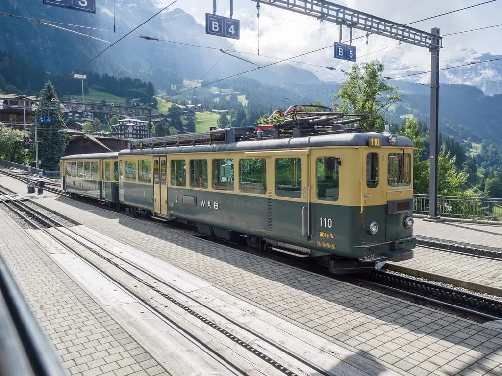
The map's most useful feature is the pattern of lift types, because that pattern dictates your day. The Wengernalpbahn cog railway from Lauterbrunnen via Wengen to Kleine Scheidegg is a long rail link, and a separate cog railway climbs from Grindelwald to Kleine Scheidegg. These rail links behave differently from a chairlift, so they shape how early you need to move.
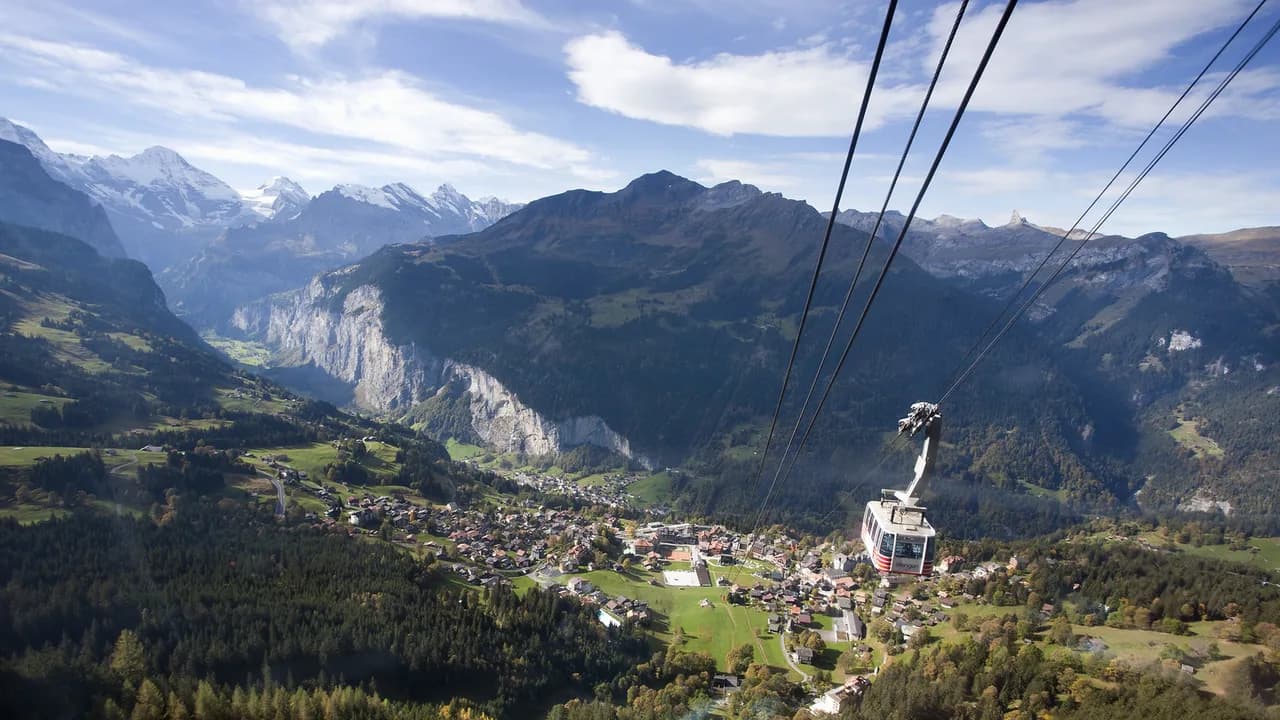
Between the rail lines, gondolas and chairlifts stitch the sectors together. The Männlichen gondola from the Grindelwald side, the Eiger Express cabin lift and the Eiger Express route are the connections that let you cross between villages rather than doubling back. Read each lift's start and end point on the map before assuming a link exists from where you are standing.
Pass Boundaries and What the Map Does Not Show
A map shows terrain, not entitlement. The Jungfrau ski pass is described as covering the Wengen-Grindelwald area including Grindelwald-First, Kleine Scheidegg and Männlichen, and there are also options covering just the Wengen side. Which one you hold changes which lines on the map you can actually ride.
The safe approach is to treat the map as terrain and the lift company as the authority on inclusions. Before you commit to a multi-day plan that depends on crossing to Grindelwald, consult Jungfrau Railways about which pass you need and how the Wengen-side-only option differs. Ask specifically whether the sectors you intend to ski are inside your chosen pass.
Map Versus Live Status: Two Different Tools
A piste map, a lift listing and a webcam each answer a different question. The map tells you what exists and how sectors connect; a lift listing tells you what is scheduled to operate; a webcam shows what the weather is doing right now. None of them guarantees that every lift, link or piste will open on a given day.
Build the habit of checking live status before you leave your accommodation, especially on a day that hinges on one connecting lift. If the link you planned around is not running, the map still helps because it shows the alternative sectors within reach. A scheduled winter season is conditional, so plan for a fallback sector rather than a single fixed route.
Planning Sequence for a Map-Based Day
Work in three steps. First, choose your sector order from the map, grouping Männlichen, Kleine Scheidegg and any Grindelwald-side ambition into a sensible sequence. Second, check which pass covers that sequence, since crossing sectors may require the fuller Jungfrau option rather than a Wengen-side pass.
Third, check operating status and pass terms with Jungfrau Railways before you commit, and look again on the morning itself. If you are adding instruction to the trip, arrange wengen ski lessons separately from your map planning, because meeting arrangements are set by the school and not by the piste layout. The map organises your day; the lift company confirms it.
Plan Your Visit Around the Map
Use the Jungfrau piste map published by the lift company to establish sector layout, lift connections and the pass boundary, then treat everything else as confirmation. The map tells you what is possible; live status and pass terms tell you what is available to you on the day. That combination is what turns a trail poster into a usable plan.
Keep the regional and Wengen-Grindelwald footprints separate in your head, decide whether you need the full Jungfrau pass or a Wengen-side option, and put your questions to Jungfrau Railways before booking. Do that, and a map check becomes a five-minute habit rather than a source of confusion on the mountain.
Frequently Asked Questions
What does the Wengen ski map actually show?
It shows the sector layout, lift types and connections around Wengen, Männlichen, Kleine Scheidegg and the Grindelwald side, plus how the wider region fits together. It does not show whether a given lift is operating on a specific morning, so pair it with a live-status check. It also does not define which pass you hold, so treat terrain and entitlement as separate questions.
Which sectors are linked by lift from Wengen?
From Wengen the map shows a gondola towards Männlichen and a cog railway towards Kleine Scheidegg, with onward connections to the Grindelwald side. The links available on your dates depend on operating status published by the lift company. Read each lift's start and end point on the map rather than assuming a connection from the sector name alone.
Does the Jungfrau ski pass cover Grindelwald-First and Kleine Scheidegg?
The Jungfrau ski pass is described as covering the Wengen-Grindelwald area including Grindelwald-First, Kleine Scheidegg and Männlichen, and Wengen-side-only options also exist. Because inclusions can vary by product, check which pass matches the sectors you intend to ski. Do not infer inclusions from a sector or lift name.
How do I check whether a lift or piste is open on the day?
Use the lift company's live status alongside the map and any webcam feeds, and check again on the morning itself. A map entry is not a guarantee that every lift, link or piste will open, and a scheduled winter season is conditional. If a connecting lift is closed, use the map to pick an alternative sector within your pass.
Sources
Useful notes for your next ski trip
Optional updates to our Alpine resort guides.
You might also like
Continue reading
More guides you'll find useful