St Anton Ski Map: Piste Sectors and Ski Arlberg Connections
The St Anton piste map covers a base, a main circulation hub, quieter western links and the wider Ski Arlberg circuit. Learn to read each sector.
On this page
Most skiers arrive at St Anton with a rough idea that it is big, steep and part of something called Ski Arlberg, then meet a piste map that spans several resorts across an east-west range. The practical question the map answers is not how many kilometres exist, but which sector to ski from on a given day to match the terrain, the weather and the time you have. Treat it as a set of connected choices rather than one continuous area.
Historically published figures put the wider domain at roughly 300 km of marked pistes with lift service from around 1,300 m to 2,810 m, but those numbers are representations rather than official guarantees, and sources disagree on lift and piste counts. That disagreement is a reason to plan by sector and connection, not by statistics. For the wider resort picture, see the st anton skiing overview.
St Anton as the Base: Two Lift Worlds from One Village
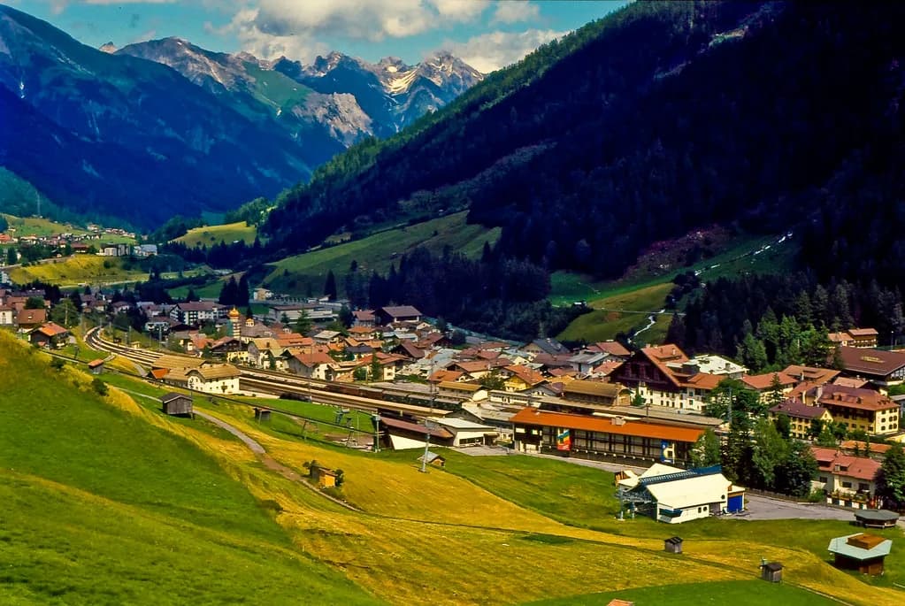
St Anton sits at roughly 1,300 m and works as the main base, with primary lift departures connecting directly into the Galzig and Rendl sectors. These are not two ends of one circuit: Galzig rises into the central Arlberg network, while Rendl is accessed separately and sits apart from the main through-route. Deciding which of the two to start from is the first real map decision, because it shapes whether your day is about linking across resorts or staying local. Skiers who like to learn a sector layout before arriving can compare it with this Kaprun piste map guide, which follows the same sector-by-sector approach.
If your aim is to cross into St Christoph, Stuben or Zurs, start from the Galzig side, where the lift lines feed the central hub. If you want quieter slopes and a shorter, self-contained day, Rendl is the practical alternative. On busy mornings the base lifts can queue, so a common strategy is to commit to one sector early rather than zig-zagging between two unconnected systems.
Galzig and Gampen: The Map's Main Circulation Hub
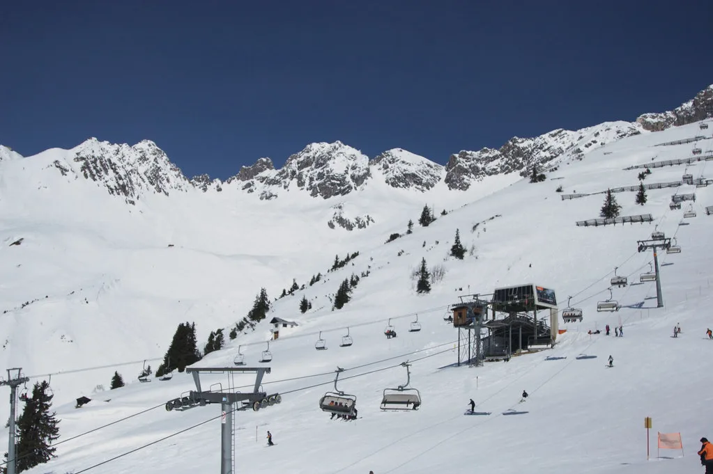
Rising above the village, the Galzig and Gampen area around 1,850 m functions as the central transition zone, with a dense lift network spreading toward St Christoph, Stuben and Zurs. Because so much of the domain passes through here, it is the part of the map worth learning first: get this hub right and the rest of the Arlberg becomes a series of day trips outward. The mix here leans to blue and red terrain, which keeps it busy.
The hub is best used as a launch point rather than a destination. On a clear day, ride up, pick a direction and commit; on a stormy or windy day, the shelter and variety here make it a sensible fallback when higher links are uncertain. Published sector descriptions are a guide to layout only, not a promise that any specific lift or connection will be running.
West to St Christoph and Stuben: The Quieter Link
Moving west across the map, the terrain extends toward St Christoph and Stuben, where slopes tend to be quieter and more varied than around the central hub. This corridor matters because it connects St Anton to the western Arlberg and acts as the bridge toward the high basins beyond. If your goal is distance covered rather than laps near the village, this is the direction to head early.
The sector mixes intermediate terrain with links into higher alpine routes, so it rewards a little map reading before you drop in. Check which lifts sit on your line back before committing, because returning late in the day through a series of connecting lifts is slower than it looks on paper. For broader context on how the resort fits together, the St Anton skiing guide covers the surrounding area.
Zurs, Lech and the Warth and Schrocken Ridgeline
Further across the centre-left and upper sections of the map, the area opens into Zurs and Lech, shown as wide high-altitude basins with longer cruising runs and a higher concentration of blue and red pistes. Smoother gradients make these sectors attractive for racking up distance rather than technical challenge. The outer ridgelines toward Warth and Schrocken complete the full Ski Arlberg circuit and are more remote and exposed.
Reaching the far end of the circuit is a full-day commitment that depends on a chain of lifts and links running in sequence. Treat any through-route as conditional and build in a return plan; check live lift and piste status in the St Anton Am Alberg app (available on the App Store and Google Play) before setting out, since a full loop is not guaranteed. Published figures for the domain total roughly 300 km of marked pistes, though counts vary between sources and should not be read as official statistics.
Rendl: A Separately Accessed Sector
Below St Anton on the lower centre-left of the map, Rendl is clearly separated from the main Arlberg circuit. It is reached by its own access rather than by skiing across from Galzig, which makes it a distinct choice rather than a detour. Predominantly south-facing terrain and a mix of intermediate and advanced runs give it a different character from the busier central network.
Rendl suits days when you want to stay in one place, avoid the through-traffic and keep the return simple. Because it is not linked into the wider circuit, the map reading is easier: pick your line, work the sector and come back down. Whether it will be the quieter option on your dates depends on conditions and crowds, which is why live status matters more than reputation.
Using the Map PDF and Live-Status Tools
The St Anton am Arlberg app provides real-time updates on open lifts and pistes along with weather conditions, and it is available on both the App Store and Google Play Store, as the New Generation St Anton piste map page confirms. That makes it the practical companion to the printed layout, because a static map shows what exists, not what is currently running. Download the map PDF, then treat the app as the check before you commit to a sector.
The St Anton am Arlberg layout is published as part of the wider Ski Arlberg domain, with a downloadable PDF map covering St Anton, St Christoph, Stuben, Zurs, Lech and the Warth and Schrocken ridgeline. Neither the map nor the app guarantees that a lift, link or piste will be open, so plan alternatives for each day rather than a single route. If your trip depends on crossing the whole domain, check that the connecting lifts are running before you set off. Lift-ticket prices and pass products change by season and are published by the lift company, not on the piste map.
Plan Your Visit
Read the St Anton piste map as four decisions: which base lift world to start from, whether to use Galzig and Gampen as a hub or a destination, how far west to push toward St Christoph and Stuben, and whether a separately accessed Rendl day suits you better. Get those right and the scale of the domain stops being intimidating. For terrain planning alongside your pass choice, compare the st anton ski pass options before you commit.
Frequently Asked Questions
How hard is skiing in St. Anton?
The map shows a broad spread of blue and red terrain alongside harder runs, so difficulty depends on which sector you choose. The central Galzig and Gampen hub and the Zurs and Lech basins offer more forgiving cruising, while other parts of the domain suit stronger skiers. Read the sector you plan to use rather than judging the whole resort by its reputation.
Where can I download the St Anton ski map PDF?
The latest St Anton am Arlberg piste map PDF is available through published piste-map pages and the resort's own channels. Download the current file rather than relying on a saved copy, because lift and piste layouts change between seasons. Check the St Anton am Arlberg app for live open-lift and piste status once you have the map.
Is the St Anton ski map the same as the Ski Arlberg map?
They overlap. St Anton sits within the wider Ski Arlberg domain, so a Ski Arlberg map shows St Anton plus St Christoph, Stuben, Zurs, Lech, Warth and Schrocken, while a St Anton-focused map emphasises the base, the Galzig and Gampen hub and Rendl. Use the wider map for crossing the domain and the local one for planning a day around the village.
Is there an interactive St Anton ski map?
Interactive versions circulate online and in resort apps, but they vary in how current they are. The St Anton am Arlberg app is the practical live tool for open lifts, pistes and weather, while the PDF remains the clearest overview of sector layout. Neither guarantees that a connection is running, so check current details before committing to a route across sectors.
Sources
Useful notes for your next ski trip
Optional updates to our Alpine resort guides.
You might also like
Continue reading
More guides you'll find useful