Samoëns Piste Map: Reading the Grand Massif Sectors
Use the official Grand Massif piste map to place Samoëns, its two access gondolas, the beginner sector at Samoëns 1600 and the links towards Flaine.
On this page
Reading the Samoëns piste map gets much easier once you accept one thing: there is no standalone Samoëns map. Samoëns is one of five linked resorts on the Grand Massif map, alongside Flaine, Les Carroz, Morillon and Sixt-Fer-à-Cheval, so the sheet you want covers the whole area. Open the current version published by the lift company rather than a screenshot or a third-party reproduction, because boundaries and piste numbering change.
The practical payoff is orientation before arrival. The map tells you that Samoëns village sits low in the valley, that the skiing starts higher at Samoëns 1600, and that two gondolas bridge the gap. It also shows which sectors you can reach in a day and where Flaine's high bowl sits. What it cannot tell you is whether any given lift or piste is running today, so treat it as a plan and check live status separately.
Start With the Official Map, Not a Screenshot
The Grand Massif publishes its own map and piste information, and that version should be your default because it carries the resort's own sector names and lift labelling. Areas of this size get reshuffled over time, and a saved image or a resort page that has not been updated can leave you hunting for a lift that has been renamed. If you are comparing this with another resort, the same logic applies to any ski map, so always check the date on the version you are using.
For planning, a downloadable version is more useful than a screen view, because you can annotate it against your accommodation and your lift base. Samoëns tourist office is the natural place to confirm which map file and which slope-opening page it currently points visitors to, since it publishes the local access and live-status links itself. What neither document does is guarantee that a named run will be open during your week, so plan a rough route and stay flexible.
Where Samoëns Sits on the Map: Village, Samoëns 1600 and Two Gondolas
The most common misreading of the map is treating Samoëns village as the ski base. The snow front sits at Samoëns 1600, and the map shows two lifts climbing to it from the village: the Grand Massif Express gondola and the Vercland gondola, each taking about eight minutes. Both land you in the same upper area, so the choice between them comes down to which is closer to where you are staying, not which is faster.
That eight-minute ride is worth internalising before you book anything, because it shapes your morning. The Samoëns tourist office recommends the Grand Massif Express side for beginners and for skiers with lessons, and free ski bus shuttles run from the village centre to the lift bases. Note that parking is free across Samoëns except at the Grand Massif Express car park, which is chargeable in winter, so a bus stop near your accommodation may beat driving up.
The Samoëns Beginner Sector on the Map
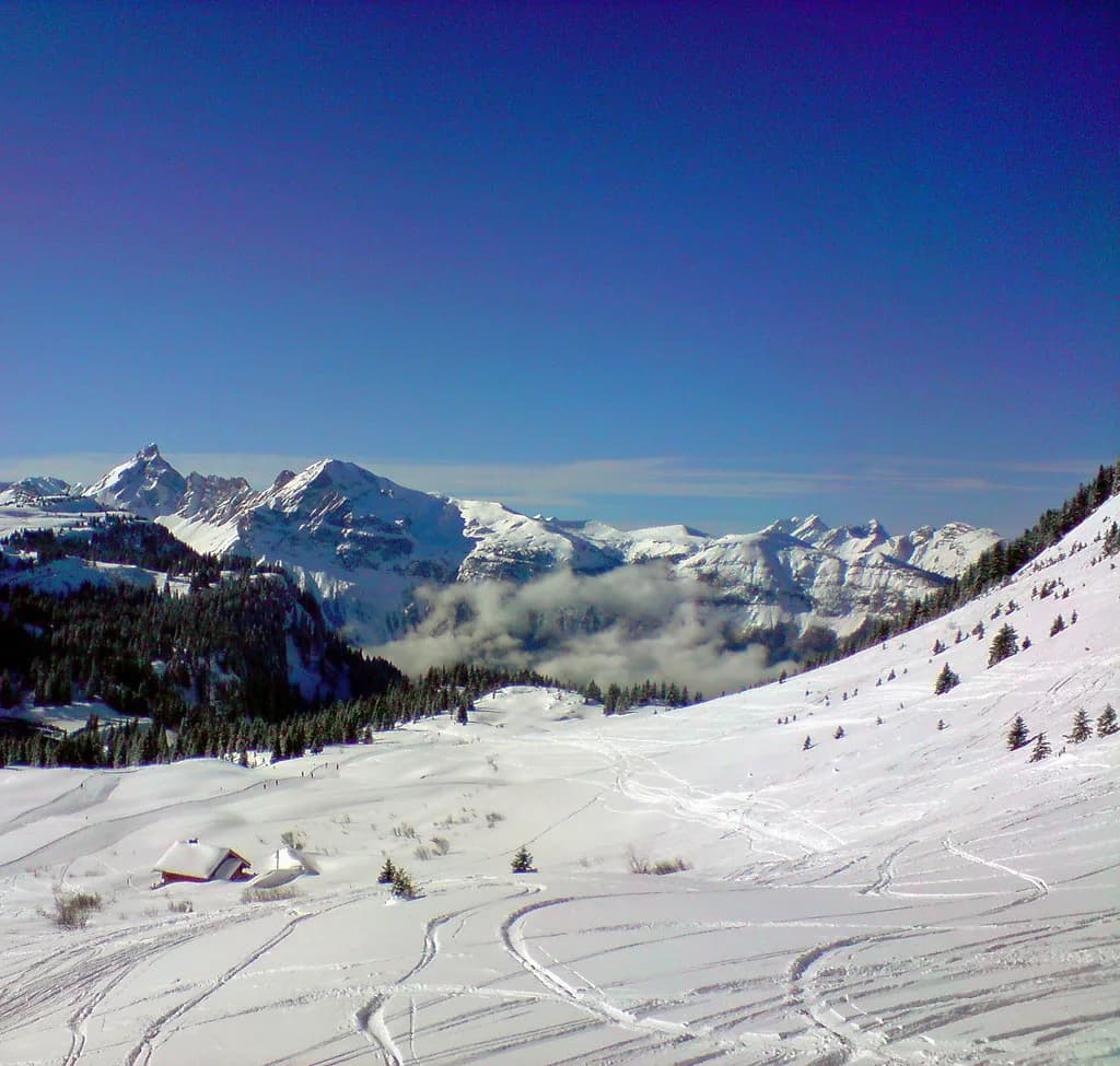
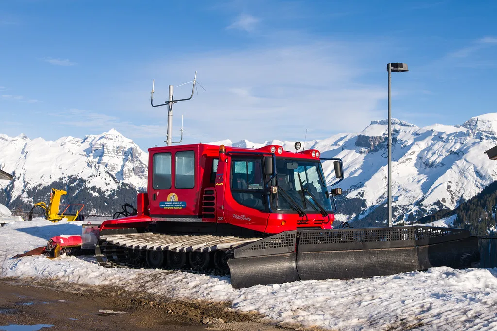
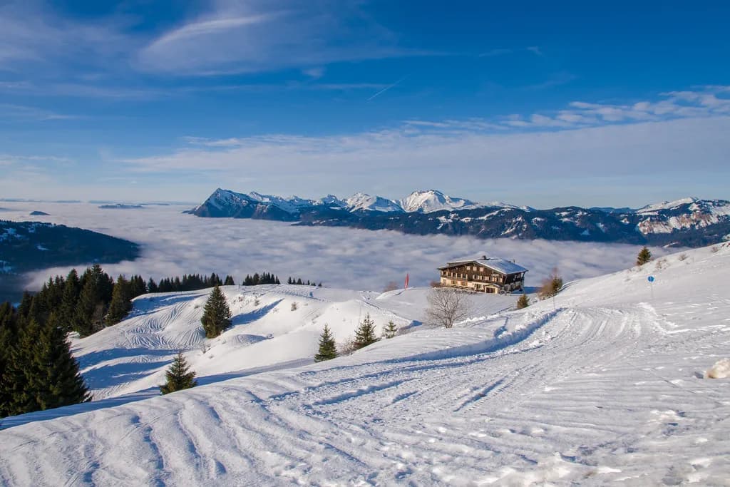
Above Samoëns 1600 the map shows a deliberately concentrated learning zone. Samoëns tourisme describes Samoëns 1600 as one of the largest beginners' areas in Haute-Savoie, reached by a single gondola ride with no steps to climb at the top. Within it you will find seven easy lifts, a covered carpet, a children's garden and a toboggan run, which matters if your group has mixed abilities and you want everyone in one place.
The dedicated beginner pass draws its own boundary on the map, covering Samoëns 1600 and its learning lifts rather than the wider area. Before you buy, look at which lifts that boundary actually encloses on the current map, because it determines where a nervous skier can go unsupervised. If your group intends to ride further afield within a day or two, a wider pass is the better purchase, and the ski pass pages explain the tiers.
Pass Boundaries Drawn on the Map
Two boundaries sit above the beginner tier on the Samoëns map. The Vill4ges pass covers Samoëns, Morillon, Les Carroz and Sixt-Fer-à-Cheval without Flaine, while the full Grand Massif pass adds Flaine and the whole 265 km network with its 139 marked runs. Skiing the full area also means factoring in return timing from the far sectors, which the map makes obvious once you trace the lift lines back towards Samoëns.
Check pass inclusions and any booking conditions directly with the lift company (GMDS for Samoëns lifts) rather than relying on a map key alone, because pass products and discounts are revised between seasons. If you are arranging equipment as well, keep the two decisions separate: your pass determines which lifts you may ride, while ski hire determines what you are standing on, and neither is automatically bundled with the other.
Reading the Connections From Samoëns Towards Flaine and the Lower Resorts
Tracing the route from Samoëns towards Flaine is where the map earns its keep. From the top of the village gondolas you descend to the Chariande Express chairlift, which climbs to the Tête des Saix at 2,218 m; from there the connection continues towards Flaine's sector. Seeing this as a chain of three or four lift stages rather than a single run is what tells you whether the trip is a comfortable day out or an ambitious one.
The map also shows why Flaine feels different. It forms the highest and most open part of the area, with terrain spreading from around 1,600 m up to the Grandes Platières summit at 2,500 m, while the sectors dropping towards Morillon and Les Carroz are lower and more tree-lined. Flaine-specific statistics sometimes quoted elsewhere, such as its own piste and lift counts, describe that resort alone and should not be read as Grand Massif or Samoëns totals. If you want to see how another big French resort lays out its sectors and lifts, the Alpe d'Huez Ski Map guide is a useful comparison.
Beyond the Map: Checking Live Lift, Piste and Weather Status
A piste map is a plan of what exists, not a report on what is running. Lift and piste opening, weather and webcam feeds are published by Grand Massif and the Samoëns tourist office, and these are the only sensible sources for a same-day decision. A scheduled winter season is conditional, so even a confirmed calendar does not promise that every lift, link or piste will open on your chosen dates.
Build a simple habit for the morning: check the live status page for the specific lifts your route depends on, then check the webcam for the sector you plan to ski first. If the connection you wanted is not shown as open, the map still helps you choose an alternative within the same valley. Also confirm any group lesson arrangements with the ski school directly, since the map shows terrain but not meeting points or timetables.
Plan Your Visit
Treat the map as your orientation tool and Grand Massif's live pages as your decision tool. Place Samoëns village, Samoëns 1600 and the two gondolas first, then work outwards through the beginner boundary, the pass tiers and the link towards Flaine. That sequence answers most of the questions people actually have when they sit down to plan a Samoëns week.
Before booking, confirm three things with the lift company: which pass covers the lifts you intend to use, which lift bases serve your accommodation, and how you will check status on the morning itself. None of that requires a downloaded graphic, and all of it makes the map far easier to read when you finally arrive.
Frequently Asked Questions
Where can I find the official Samoëns and Grand Massif piste map?
Use the map published by the Grand Massif lift company, which covers all five linked resorts including Samoëns, Flaine, Les Carroz, Morillon and Sixt-Fer-à-Cheval. Samoëns tourist office also links to the interactive area map and to slope-opening information. Prefer these over screenshots or third-party reproductions, because sector names and boundaries are revised between seasons.
Which lifts connect Samoëns village to the ski area?
Two gondolas link Samoëns village to the snow front at Samoëns 1600: the Grand Massif Express and the Vercland. Both take about eight minutes, and free ski bus shuttles run from the village centre to the lift bases. Which one you use is mainly a question of proximity to your accommodation.
Can you ski from Samoëns to Flaine using the Grand Massif map?
The map shows a documented skiable connection from the Samoëns side towards Flaine, via the Chariande Express chairlift and the Tête des Saix, then onwards through the Flaine sector. Whether that route is usable on a given day depends on lift and piste status, which the map cannot confirm, so check the live opening information before committing to the trip across.
What does the Samoëns Beginner Pass include on the map?
It covers the Samoëns 1600 learning zone and its beginner lifts rather than the wider Grand Massif network. Look at which lifts the boundary encloses on the current map before buying, and confirm inclusions with the operator. If your group plans to explore further within the week, a wider pass is the more sensible purchase.
Sources
Useful notes for your next ski trip
Optional updates to our Alpine resort guides.
You might also like
Continue reading
More guides you'll find useful