Obertauern Ski Map: Reading the Pistes, Lifts and Sectors
Use the Obertauern ski map to plan your day: the Tauernrunde circuit, beginner zones, piste grading and how to check live lift and slope status.
On this page
Obertauern's piste map rewards five minutes of study, because this is a resort built around a single base rather than a string of linked villages. Slopes run outward from the village like spokes, so once you understand the ring road of lifts around the centre you can plan a day without any transfer logistics. This guide explains what the map shows, how to use the Tauernrunde circuit as a routing tool, and where the easy, intermediate and steep terrain sits.
If you want the wider planning picture on accommodation, access and terrain, the Obertauern Skiing Guide covers it. Here the focus stays on the map itself: reading sectors, judging altitude, and checking conditions before you head out.
What the Obertauern piste map shows at a glance
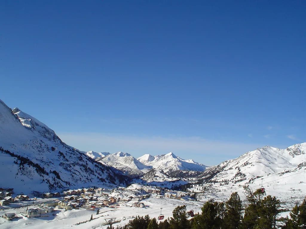
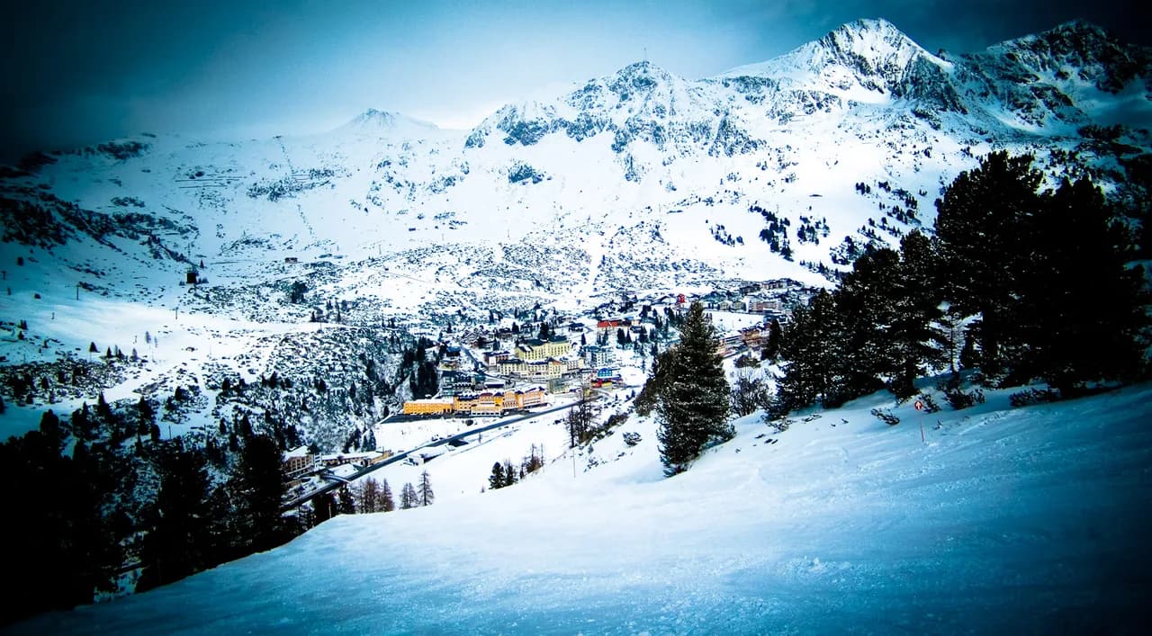
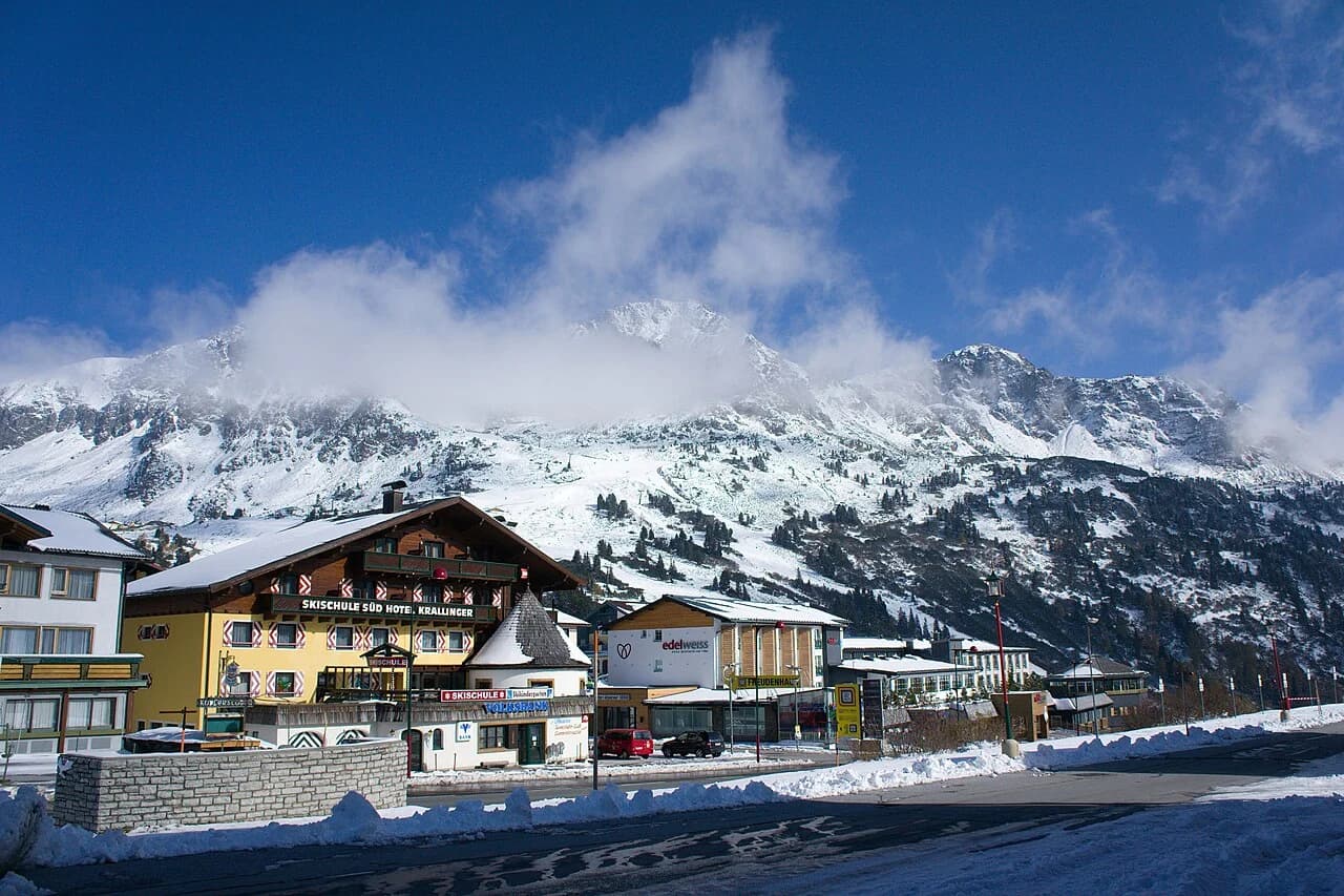
The defining feature of the map is the village centre sitting at the bottom of almost everything. The regional tourism board describes Obertauern as a layout where slopes run like the spokes of a wheel from the village up to the surrounding peaks, which means no sector requires a bus ride or a long traverse to reach. Look first at the ring of lifts around the village, then follow each spoke outward.
The published figures give you the scale to plan against: more than 100 km of pistes served by 26 lifts, with the terrain split into 61 km of blue, 35 km of red and 4 km of black. That ratio tells you immediately that this is a cruising resort rather than a steep-terrain destination, and it explains why the map looks dense with blue lines. Read those numbers as the resort's own published breakdown rather than fixed guarantees, since grooming and openings shift through the winter.
For a second view of the same terrain, the Wintersport piste map page for Obertauern gives an alternative rendering of the ski area and its 100 km of pistes, which some skiers find easier to read on a phone. Compare it with the resort's own version before relying on any single image for a route decision.
Orientation: one village, terrain all around it
Obertauern is a high, road-based village rather than a valley station with a single access gondola, which is why the map looks circular. The tourism board puts the village centre at 1,740 m, with slopes rising to 2,526 m above sea level, and lists an altitude range of 1,633 to 2,313 m for the ski area itself. Treat the higher numbers as summit terrain and the range as the lift-served band, and check the current piste map if a precise figure matters to your planning.
Practically, this means your accommodation choice matters less than in a spread-out resort. Wherever you sleep in the village, you are within a few minutes of a lift, so the map question is not which base to pick but which direction to ski first. Pick the lift nearest your accommodation for the morning and work around the ring from there.
How the map is laid out: the Tauernrunde circuit
The Tauernrunde is the map's best organising idea. It is a circuit that lets you ski around the resort's pistes in either a clockwise or anticlockwise direction, effectively a full tour of the ski area in one loop. Treat it as a routing tool rather than a novelty: it gives you a default plan for a first day, a way to gauge how far you have travelled, and a natural regrouping point system for groups that ski at different speeds.
Choose your direction by which side of the village you are staying and where the sun sits. Skiing the loop anticlockwise on your first morning lets you cover ground while your legs are fresh and return to the village from the opposite side; a clockwise run works equally well and simply reverses the sequence. Neither direction is compulsory, and the on-mountain signage along the circuit is the authority on which way to go on the day.
Allow more time for the full loop than the map suggests. A circuit that touches the resort's outer pistes covers a lot of ground, and groups that stop for photos and hut breaks routinely need most of a ski day. If you have a short trip, ski half the circuit in the morning and the other half on a second day instead of forcing it into one session.
Piste grading: what the blue-heavy split means for groups
The published breakdown of 61 km blue, 35 km red and 4 km black is the most useful planning fact on the map for mixed-ability groups. With roughly three-fifths of the terrain graded blue, a nervous skier has genuine choice rather than a token run, while stronger skiers still get 35 km of red to link together. The small black quota means expert skiers should plan on fast cruising and short steep sections rather than a day of hard terrain.
Use the grading to split and regroup deliberately. Agree a meeting lift at the start of the day, let the faster members take a red detour while the blue group continues on the parallel line, and meet at the base of the next chair. Because the spokes converge back on the village, this works better here than in a resort where the easy and hard terrain sit at opposite ends of a valley.
Beginner zones: where to start on day one
On the map, the beginner story is simple: the easy blues cluster around the village and on the gentler lower spokes, which is exactly where you want to be on day one. Start at the lift closest to your accommodation and stay on the blue-graded spokes until turning and stopping feel automatic, then extend outward one lift at a time. The resort's own beginner areas and nursery slopes are marked on the map and signposted on the hill.
Booking Obertauern ski lessons for the first morning pays for itself in map reading alone, since an instructor will show you which lifts suit your level and where the quietest blue lines run. If you are sorting out equipment as well, Obertauern ski hire shops near the base mean you can collect gear and be on the first lift without a village crossing.
Intermediates and advanced skiers: linking sectors without repeats
The 35 km of red terrain is where most confident skiers will spend their day, and the map makes it easy to chain red descents from different spokes without returning to the same lift twice. Plan a rough sequence in the morning: two reds on one side of the village, cross the centre, two on the other side, and finish on the outer circuit. This keeps the day varied and avoids the trap of lapping one favourite lift until it feels tired.
Advanced skiers should read the four black kilometres as seasoning rather than the main course, and treat the reds at speed plus the Tauernrunde as the real draw. The map also shows the lift network that ties the spokes together, so use the upper connections to move sideways across the resort rather than dropping to the village between every run.
Snowboarders get the same spoke layout with plenty of chair and gondola access, and the map shows which connections avoid long flat traverses. If that is your mode of travel, the Obertauern snowboarding guide covers terrain and lift access in more detail.
Lifts on the map: reading types and connections
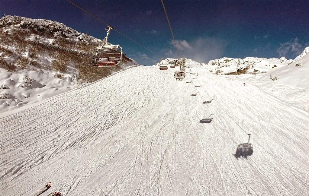
The resort publishes 26 lifts, including modern cable cars, and the map marks lift type clearly enough to plan around. Cable cars and gondolas move you across the resort quickly and are the obvious choice for crossing sectors; chairs are better for lapping a specific run; surface lifts serve the beginner spokes and short links. Match the lift symbol to your goal rather than defaulting to whichever queue looks shortest.
Read the connections, not just the lines. On a circular layout, the useful detail is which upper stations link to which spokes, because that determines whether you can cross the resort without descending to the village. Mark two or three of those link points on your mental map and build your day around them.
Judging snow and altitude from the map
The map's altitude information matters more than usual because Obertauern markets itself on snow reliability from late autumn into spring. The Salzburger Lungau tourism board describes the resort as Austria's snow bowl with good conditions from the end of November into early May, and the Apple Maps entry for Obertauern likewise notes a season starting in November and lasting into early May thanks to the altitude. Treat both as general characterisations and look up the current snow report for actual cover.
When you check conditions, read top and valley snow heights together rather than in isolation. A healthy top figure with a thin valley figure usually signals that the village-level runs and the final descent are the weak link, while both figures rising together suggests the whole spoke network is in play. The tourism board publishes those two depths separately along with open lift and open slope counts, so use them as a pair.
The same page also lists a published 2025/26 season window running from 21 November 2025 to 10 April 2026. Those are last season's published dates, so treat them as a planning anchor for that winter rather than a promise for the one you are booking; the sources available to us do not yet give a 2026/27 window, so confirm the current season's dates before you commit to travel.
Live status tools: check before you commit to a sector
The map is a plan, not a report. The tourism board's Obertauern page carries a live panel showing open lifts out of the total, open slopes, valley-run status and the current avalanche warning level, which is exactly the set of figures you need before choosing a sector. Check it over breakfast rather than the night before, since wind and snowfall change the picture quickly.
Use the valley-run status as a specific decision point. If the run back to the village is closed, plan your last descent on an open piste or a lift download, and build that into the afternoon rather than discovering it at the bottom of the mountain. The resort's on-mountain signage and patrols remain the authority on what is open on the day.
Where to get the map
Start with the resort's own piste map, either on the Salzburger Lungau website or printed at lifts and tourist offices, and use it as your reference version. Third-party renderings are handy on a phone, such as the Wintersport overview of the Obertauern ski area, but they can lag behind changes to lifts or closures. The resort map is the one the signage on the hill is drawn from.
For a paper copy, pick one up at the lift stations or the tourist office in the village on arrival and keep it in a jacket pocket; phone batteries dislike cold mornings. If you are used to reading piste maps in other resorts, the Kaprun Piste Map guide shows how a very different, glacier-led layout is presented, which makes Obertauern's circular format feel obvious by comparison.
Planning passes, hire and accommodation around the map
The map should shape what you book before you travel. If your group is beginner-heavy, base yourself near the village centre so the nursery slopes and easy blue spokes are walkable; if you are chasing the Tauernrunde, proximity to any main lift works, since the circuit passes around the whole resort. The Obertauern Ski Pass Guide explains the pass products on offer; buy through the official channels and confirm current prices and validity there, as the resort does not publish them in the materials this guide draws on.
For equipment, arrange Obertauern ski hire before arrival if you are travelling in a peak week, and collect near your base so you are not carrying skis across the village. Shops such as INTERSPORT Frühstückl sit close to the lifts, which matters more than a small price difference when you are walking in boots.
Sample days built from the map
A beginner day: start on the nursery area near the village, move to the closest blue spoke after the first hour, and finish with one gentle blue run and a download or easy lift back. Keep the map open at the village-centre section so you always know which lift returns you to your accommodation.
An intermediate circuit day: take the Tauernrunde in one direction, stopping for two red detours on opposite sides of the resort, and aim to complete the loop before the lifts start closing. A short-trip plan: ski one half of the circuit on day one and the other half on day two, with the final morning spent lapping the best reds you found rather than exploring new ground.
For anyone weighing up a different Austrian resort against Obertauern, the Kaprun piste map guide is a useful comparison for how terrain is presented and where the glacial assumptions differ.
Common map-reading mistakes in Obertauern
The two recurring errors are overestimating crossing speed and underestimating the circuit. The circular layout makes the resort look compact, but skiing from one outer spoke to the opposite one via the village takes real time, especially in a group. Build in a buffer of one lift cycle for every crossing you plan.
The second mistake is treating the Tauernrunde as a single run. It is a full tour of the resort's pistes, and the honest way to plan it is as a half-day or full-day objective, not something you squeeze in before lunch. Ski it early in the trip while your legs are fresh, then use the map to pick shorter loops for the rest of your stay.
Plan Your Visit
Read the map before you travel, print or download a copy, and pick your first morning's direction based on where you are staying. The Tauernrunde then gives you a ready-made plan for day two, and the live lift panel on the tourism board's page tells you whether to stick to it.
Confirm the current season's dates, pass prices and conditions through official channels as your trip approaches, and sort Obertauern ski lessons and Obertauern ski hire before peak weeks. With the spokes understood, the rest of the trip is simply choosing which direction to ski first.
Frequently Asked Questions
How many kilometres of pistes are in Obertauern?
The resort publishes more than 100 km of pistes, split into roughly 61 km blue, 35 km red and 4 km black, served by 26 lifts. Use those figures as the published breakdown for planning rather than a fixed guarantee, since grooming and openings vary through the winter.
What is the Tauernrunde and which direction should I ski it?
The Tauernrunde is a circuit that lets you ski around the resort's pistes in either a clockwise or anticlockwise direction. Pick the direction based on where you are staying and which side is sunnier, follow the on-mountain signage, and allow half a day or more rather than treating it as a quick loop.
Is Obertauern good for beginners?
Yes. With around three-fifths of the terrain graded blue, beginners get genuine choice rather than a single token run, and the easy spokes cluster near the village centre. Start on the nursery slopes closest to your accommodation, then extend outward one lift at a time.
How many lifts does Obertauern have?
The resort publishes 26 lifts, including modern cable cars. Read the lift types on the map to plan crossings: cable cars and gondolas move you between sectors, chairs are best for lapping a run, and surface lifts serve beginner areas and short links.
When does the Obertauern ski season start and end?
The published 2025/26 season ran from 21 November 2025 to 10 April 2026, and the resort is generally described as skiing from late November into early May thanks to its altitude. Confirm the current season's dates on the official channels before booking.
Where can I find a live Obertauern piste map?
Use the operator's own piste map, available on the resort website and printed at lifts and tourist offices. For live status, the tourism board's Obertauern page shows open lifts, open slopes, valley-run status and the avalanche warning level, which is more useful than a static map on a weather day.
Does the map show how much snow is at the top and in the valley?
The tourism board publishes top and valley snow depths separately alongside open lift and slope counts. Read them as a pair: a strong top figure with a thin valley figure usually means the village-level runs and final descent are the weak link.
Sources
Useful notes for your next ski trip
Optional updates to our Alpine resort guides.
You might also like
Continue reading
More guides you'll find useful