Montgenèvre Piste Map: Sectors, Lifts and Ski Area Explained
Read the Montgenèvre piste map before booking: its four sectors, the Italian link, key lifts and how to choose the pass that matches your skiing.
On this page
The Montgenèvre piste map rewards ten minutes of study before you book anything. The village sits at 1,860 m, the terrain climbs to 2,648 m at the Rocher de l'Aigle sector, and the lifts fan out into four distinct areas rather than one uniform mountain. Read it as a set of sectors with different jobs, and your choice of pass, base and daily plan becomes much clearer.
This guide walks through what the Montgenèvre piste map shows, which lift unlocks each sector, how the Italian connection works and how to match a pass to the terrain you will realistically ski in a week. For the wider planning picture beyond the map itself, the Montgenèvre ski guide covers lessons, hire and travel in more depth.
What the Montgenèvre Piste Map Actually Shows
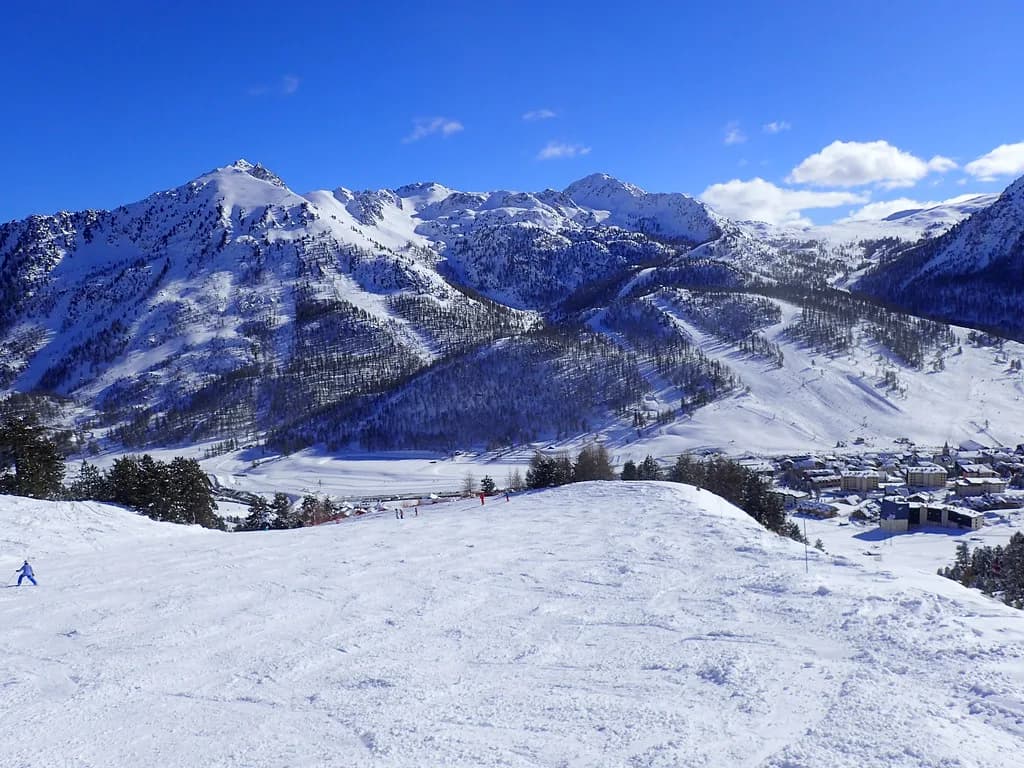
The map covers a resort squeezed against the Italian border, with the village base at 1,860 m and the highest lifted point at 2,648 m in the Rocher de l'Aigle sector. That altitude band matters: most of the skiing sits high enough to hold snow through the core season, and the layout keeps the village within a lift or two of the main sectors. The international boundary runs across the upper terrain rather than around the resort, which is why the map shows French and Italian pistes on the same sheet.
The lift company, RARM Montgenèvre, publishes a downloadable version of the printed map, and it is the document worth saving to your phone before you travel. It labels the sectors, the télémix and gondola lines and the cross-border runs in one view. Download the RARM Montgenèvre piste map and study it alongside the lift names below rather than trying to orient yourself from memory on the first morning.
The Four Sectors and What Each One Is For
The map names four working areas: Gondrans, Chalvet, L'Aigle and the Monts de la Lune link towards Italy. Gondrans is the north-facing side that carries the on-piste connection towards Clavière and the wider Milky Way, and it is where the snowpark and the themed play slope sit. Chalvet is a smaller, quieter flank that locals use and where the boardercross course is built, making it a good choice when the main side feels busy.
L'Aigle is the high ground, topping out at the Rocher de l'Aigle, and it holds the more technical reds and blacks along with freeride terrain that is best explored with a guide. The Monts de la Lune sector is the map's international half, linking through to Cesana Torinese on the Italian side. Treat these as four separate day plans rather than one continuous circuit; the resort is compact enough that you can ski two sectors in a morning if you move deliberately.
Montgenèvre Only Versus Montgenèvre Plus Monts de la Lune
The map corresponds to two pass products, and mixing their statistics is the most common planning error. The French-only area, Montgenèvre, is published as 95 km of slopes across 78 pistes with 24 lifts, and it also lets you ride the Serra-Granet and Col Boeuf chairs at Clavière. The combined Montgenèvre plus Monts de la Lune area is published as 110 km across 87 pistes with 30 lifts, stretching to the village of Cesana Torinese. Decide which of those two you are buying before you read any further.
For most skiers staying a week, the combined product is the one that makes the trip feel like a cross-border holiday rather than a single-resort break. For a short stay, a mixed-ability group or a first family trip, the French area alone has more than enough terrain and keeps everyone on familiar ground. The Montgenèvre ski pass comparison sets out how the products differ and where to buy each one online.
Piste Split by Colour and What It Means for Your Level
On the French area the lift company counts 9 green, 22 blue, 38 red and 9 black pistes, so reds are clearly the backbone of the mountain. The combined area adds a little more of everything, at 9 green, 25 blue, 43 red and 10 black. If your group is comfortable on reds, the map will feel generous; if you are building confidence on blues, you will spend most of your time in the lower and mid-mountain band.
Beginners get sunny nursery slopes accessed right by the village plus wide greens and blues to progress onto, which is why the resort carries a family certification. Confident novices can aim for the gentle green that runs from Gondrans down into the village. Experts should read the map differently: the piste terrain is not the steepest in the Alps, and the real draw for strong skiers is the off-piste in the Gondrans bowl, around the Rocher de l'Aigle and off the Col de l'Alpet.
Key Lifts to Locate First
Two télémix installations do most of the heavy lifting for movement around the map. The Serre Thibaud télémix links Chalvet with Tremplin, and the Chalmettes télémix speeds up access to Les Gondrans. Find both on the map before you ski, because they are what turn the sectors into a connected circuit rather than separate hills. The Chalvet and Fournéous gondolas are the other lines worth marking, since they open up the quieter flank and the upper terrain respectively.
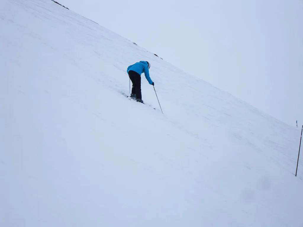
The map also shows a lot of drag lifts, and this is a genuine constraint rather than a detail. Beginners and snowboarders can find repeated surface lifts tiring, especially in the beginner zones where you use them most. Plan your first day on the gondola and télémix lines and add the drags once you know which ones serve terrain you actually want. Queues are usually light midweek and build at peak-season weekends, so time your crossings of the popular junctions accordingly.
Crossing to Italy: Clavière, Cesana and the Via Lattea
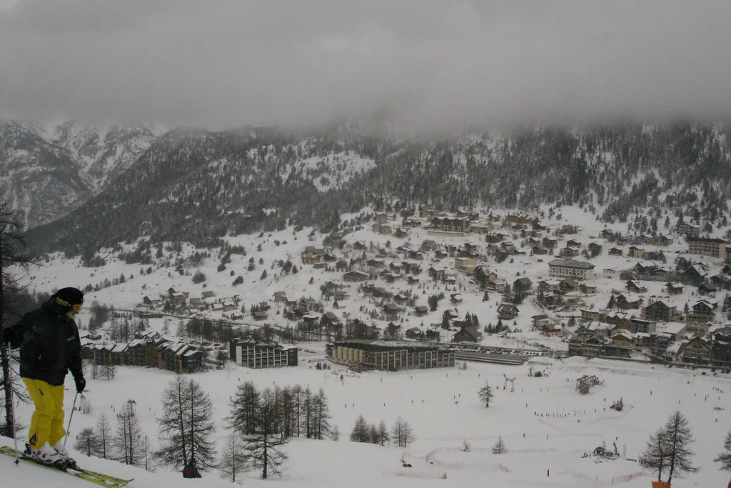
The Italian connection is the map's best feature and its easiest thing to misjudge. From Montgenèvre you can ski across to Clavière and on through the Monts de la Lune sector to Cesana Torinese, all within the combined pass area. Beyond that, the linked Via Lattea network is published as more than 400 km of slopes with around 70 lifts, taking in Sestriere, Sauze d'Oulx, Sansicario and Pragelato. Present that as the wider network figure, not as Montgenèvre's own terrain.
Crossing the border changes the day's rhythm: signage, lift names and lunch options switch to Italian, and the return leg can be long if the weather turns. Check the day's lift and weather status before committing, and carry your pass and ID as you would on any border crossing. A guided day is worth considering if you want to reach the further Italian resorts rather than just Clavière and Cesana. The Montgenèvre ski guide covers how the wider network fits into a week.
Beginner Zones and Family Terrain on the Map
The map shows beginner terrain concentrated by the village, with nursery slopes, a dedicated beginners zone and a multi-activity area at the Front de Neige. That layout is the resort's quiet strength: you can put children into a morning lesson and still ski something worthwhile yourself without a long transfer. Once the basics are there, the progression is onto the wide greens and blues, with the Gondrans run into the village as a satisfying first full descent.
If you are booking lessons alongside the map, the Montgenèvre Ski lessons comparison covers the main schools and formats, and the Montgenèvre Ski hire page helps you place rental shops relative to the lifts. The two ski schools on the ground are the local ESF, known for small classes, and A Peak, a smaller international school with English-speaking instructors.
Freestyle and Fun Zones Marked on the Map
The map marks its freestyle and play features in specific places, which helps you avoid hunting for them. The snowpark with jumps at different levels and the themed La Citadelle play slope both sit in the Gondrans sector, the boardercross course is on the Chalvet side, and a half-pipe is accessed directly from the village. Feature availability changes with snow and the season's build, so confirm each one locally before you set off.
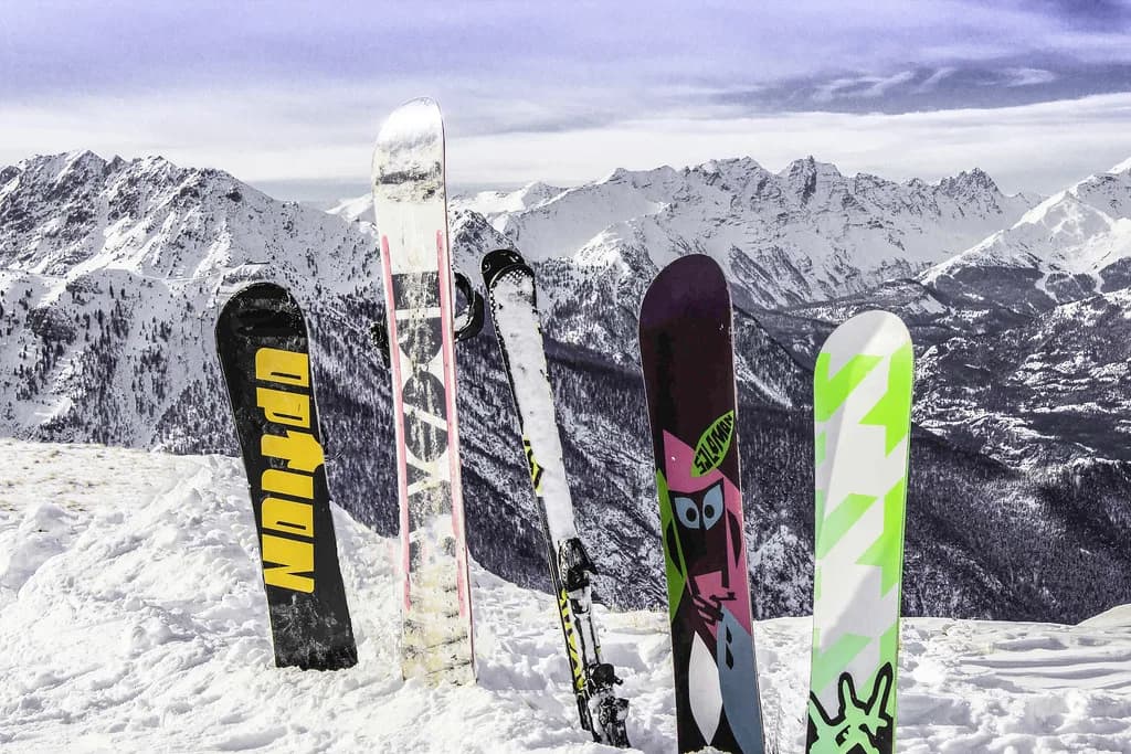
For snowboarders, the boardercross on Chalvet and the village half-pipe are the two names to circle, though the drag lifts elsewhere on the map will shape your day more than either. The Montgenèvre snowboarding guide goes through the facilities, hire and lesson options in more detail.
When the Mapped Terrain Is Open
The tourist office publishes the planned continuous season, and the dates move between years. For 2025-26 it announces 29 November 2025 to 18 April 2026, and for 2026-27 it announces 28 November 2026 to 17 April 2027, with weekend opening earlier in November when snow allows. Treat those as announced dates, and check the current season on the Montgenèvre tourist office site before you book travel.
Early and late season change which parts of the map are usable. The resort's altitude and southern exposure give it good natural snow, and more than 60 percent of the area is covered by snowmaking, but that coverage is concentrated rather than universal. Expect the high L'Aigle terrain and key links to hold up best at the edges of the season, and expect some lower runs and cross-border connections to come and go. Base early or late trips around the upper sectors, not the village-level loops.
Passes for the Map You Plan to Ski
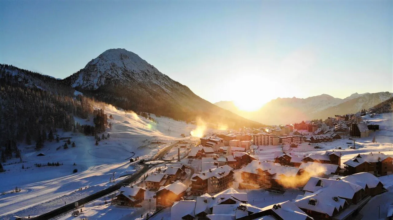
Buy for the map you intend to use, not the biggest number on the marketing page. The French-only product gives you 95 km, 78 pistes and 24 lifts, with Clavière's Serra-Granet and Col Boeuf chairs included. The combined product gives you 110 km, 87 pistes and 30 lifts through to Cesana. Compare a day's realistic itinerary with each before committing, since the price difference only pays off if you actually cross the border.
Passes are sold at the lift ticket offices in the village and online through the official ticket shop, which is the faster option at peak times. Current rates for each product are published there rather than fixed here, so check the official shop for the dates you are travelling and for any multi-day or family products. The Montgenèvre ski pass page covers how the products compare and when to buy.
Getting There and Using the Map on the Ground
The village is compact and walkable, and a piste bridge links Chalvet and Gondrans, which is why the map reads as a circuit rather than two separate resorts. Lift bases sit close to the centre, so most accommodation is a short walk or shuttle from the first gondola. That makes a ski-in, ski-out address less essential than in spread-out resorts, and it also means you can change sectors at lunchtime without losing the afternoon.
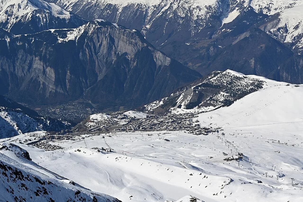
Many visitors arrive by road through the Hautes-Alpes, and the nearest practical approach is via Briançon before climbing to the resort; Turin is the alternative gateway if you are combining the French and Italian sides. Print or download the map before travelling, since mobile coverage on the upper mountain is not something to rely on. If you are used to reading larger resort maps, the Alpe d Huez piste map guide shows how a bigger linked area is organised by comparison.
Practical Mapping Choices for a Short Trip
With three days, base your first morning on the village lifts and the Gondrans side to learn the mountain, then use the Chalmettes télémix to reach the upper terrain. Give the second day to L'Aigle if your group skis reds confidently, and the third to a border crossing through Monts de la Lune if you bought the combined pass. Skip the quieter Chalvet flank unless the main sectors are busy or you want the boardercross, and skip the long Italian return if the weather is closing in.
With a week, the map opens up properly: alternate a French resort day with an Italian excursion, and keep one flexible day for the best snow rather than locking in a schedule. The trade-off is simple: the combined pass buys variety at the cost of longer return legs, while the French-only pass keeps everything close but leaves the Via Lattea untouched. Decide which matters more to your group before you book.
Plan Your Visit
Read the map once, mark the Chalmettes and Serre Thibaud télémix, decide whether your week needs the Italian side, and then buy the pass that matches. That sequence keeps you off the drag lifts you do not want and out of the wrong ticket queue on your first morning. Everything else follows from the terrain you actually plan to ski.
Frequently Asked Questions
What is Montgenèvre like for skiing?
Montgenèvre is a compact, high resort at 1,860 m rising to 2,648 m, with a good spread of terrain for beginners and intermediates and a genuine international link into Italy. Its red pistes form the backbone of the French area, while strong skiers head for the off-piste around the Rocher de l'Aigle and the Gondrans bowl rather than for steep groomed runs.
Can you ski to Italy from Montgenèvre?
Yes. The map connects Montgenèvre through the Monts de la Lune sector to Clavière and on to Cesana Torinese, which is within the combined pass area. Beyond that lies the wider Via Lattea network towards Sestriere and Sauze d'Oulx. Check the day's lift and weather status before crossing, since the return leg is long when conditions change.
Is Montgenèvre snow sure?
The resort's altitude, southern exposure and north-facing slopes give it good natural snow through the core season, and more than 60 percent of the area is covered by snowmaking. The high L'Aigle terrain holds up best at the edges of the season, while lower runs and border links can open and close around the start and end dates.
Where can I download the Montgenèvre piste map?
A downloadable piste map is published alongside the ski area pages, labelling the four sectors, lift lines and Italian connections in one view. Save it to your phone before travelling, since coverage on the upper mountain is unreliable. The printed version is also available locally.
How many pistes and lifts are in Montgenèvre?
Two sets of figures are published. The French-only area has 95 km of slopes across 78 pistes and 24 lifts, while the combined Montgenèvre plus Monts de la Lune area has 110 km across 87 pistes and 30 lifts. Use the figure that matches the pass you are buying.
Which Montgenèvre lift pass covers the Italian side?
The combined Montgenèvre plus Monts de la Lune pass covers the crossing to Clavière and Cesana Torinese. The French-only product also includes the Serra-Granet and Col Boeuf chairs at Clavière but stops short of the full Italian network. Passes are sold at the village ticket offices and online through the official shop.
How do the Chalmettes and Serre Thibaud télémix help?
The Chalmettes télémix speeds up access to the Gondrans sector, and the Serre Thibaud télémix links Chalvet with Tremplin. Together they turn the four sectors into a connected circuit and let you move between sides of the resort without long drag-lift climbs. Mark both on the map before your first run.
Is Montgenèvre good for beginners?
Yes. Nursery slopes and a beginner zone sit right by the village, with a multi-activity area at the Front de Neige, and wide greens and blues provide the next step. The main caveat is the number of drag lifts on the map, which can tire beginners and snowboarders. Lessons and hire sit close to the lifts in the village centre.
Sources
Useful notes for your next ski trip
Optional updates to our Alpine resort guides.
You might also like
Continue reading
More guides you'll find useful