Laax Ski Map Guide: Flims Laax Piste Map Sectors
Use the official Flims Laax piste map to plan a ski day: terrain sectors, key linked areas and the tools that show current lift status.
On this page
The useful version of the Laax ski map is the one on the Flims Laax site, not a saved screenshot from a previous winter. That distinction matters because a mapped link is not a guarantee it is running on your dates. On this page you will learn how to read the map by sector, what to note before you commit to a plan, and where to check status.
Start with the official map and status tools
The Flims Laax page is the source of truth for the slope map, ticket buying and opening hours, and it also hosts webcams. Those three tools answer different questions: the map shows how sectors connect, the opening-hours and ticket pages indicate whether access is planned, and the webcams show what conditions look like right now. Treat a screenshot as a fallback for orientation only, and download or print it from the live page each time rather than reusing an old image you already have.
A common mistake is to plan from memory of a previous holiday, assuming the same lifts and links are scheduled. Terrain scale is documented at 216 km of slopes, 30 lifts and 5 snow parks, but those totals are inventory, not a promise that every element will operate every day. Before you fix a meeting point or a lunch stop, check the Flims Laax opening-hours page for current operations. If a section of the map looks marginal for your group, pick a fallback sector on the same side of the resort.
Sectors on the map and how they connect
The Flims Laax Falera area groups into recognisable sectors: Flims and Foppa, Nagens, Laax and Crap Sogn Gion, and Falera, with named terrain such as Alp Dado, Mutta Rodunda, La Siala and the Vorab area. Reading the map by these sectors is faster than trying to memorise individual runs, because you can decide which valley base you will finish at. Different bases mean different return logistics in the afternoon, so choose the side that matches where you are staying. Staying in Laax or in Flims changes which sector you warm up in.
Look for the uplift that links sectors rather than the piste colour alone. A long descent depends on the lifts above it running, and a minor connection can be the difference between a smooth circuit and a long detour. If you are travelling between bases, note the direction of the return legs first and build the day backwards from there. Understood this way, the map is a network diagram as much as a picture of slopes; the same sector-by-sector approach is set out in this Andermatt Piste Map guide, which shows how to read links between sectors at another resort.
Terrain scale and elevation on the map
Flims Laax reports 216 km of slopes, 30 lifts and 5 snow parks, with roughly 70% of terrain between 2,000 and 3,000 metres. The elevation band matters more than the kilometre count for a single day: staying high keeps you in the part of the resort where snow is typically more dependable. If your accommodation sits lower, budget the time to climb into the upper sectors before you start counting runs. Sector choice, not total distance, is the decision that shapes an efficient day.
Read the map's altitude shading alongside the lift lines to see where a day naturally splits. Two sectors that look adjacent on paper may need a specific lift sequence to link, and that sequence is what you should note before setting out. Scale figures describe the resort as a whole, so they should not be read as a forecast for a given week or as an assurance that any named descent is open.
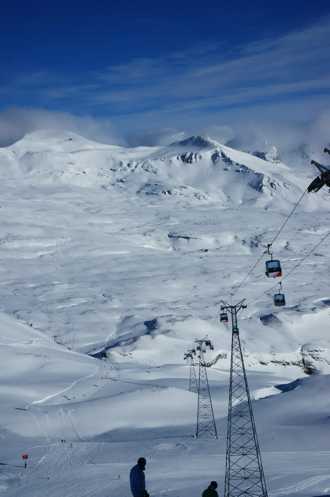
Matching map sectors to ability levels
For beginners, Flims Laax describes a beginner ticket covering Flims to Foppa or Nagens and Laax or Falera to Crap Sogn Gion. The Ami Sabi slope at Spalegna in Flims is documented for first turns on blue terrain, and easy pistes around Alp Dado suit a relaxed day. The Ami Sabi Snow Wonderlands are described as open to LAAX School customers only, so if you plan around them, take that up with LAAX School rather than assuming open access.
More athletic terrain is documented around Nagens and Mutta Rodunda, while the long descent from La Siala down to Flims is given as roughly 13 km with about 1,700 m of vertical. Use those names to pick a sector and then read the lift sequence that makes it work, rather than committing to a route you cannot confirm. Challenging terrain is also described on the former FIS run and down the back of the Vorab Glacier to Alp Ruschein.
Ski touring zones and signature descents
The Curnius to Laax Murschetg slope is worth locating because Flims Laax separately describes it as a night-skiing run with lighting and a piste inspection late in the evening. That listing is for February dates on Thursdays and no year is given, so treat it as an example of what has been published rather than a confirmed fixture. The published run is given as 6 km long, opening from 7 p.m. to 10 p.m., with last slope inspection by snow patrol at 11 p.m. Use the map to see where Curnius sits relative to your base, then check whether the run is scheduled during your stay.
The La Siala to Flims descent and the routes around the Vorab area are the kind of lines that justify planning the whole day around one sector. Because both span large vertical drops, they work best when the relevant upper lifts are confirmed running. Locate the top station and the base you would finish at, then check the return link before you start. If you enjoy park terrain more than vertical, a different set of map features will matter to you.
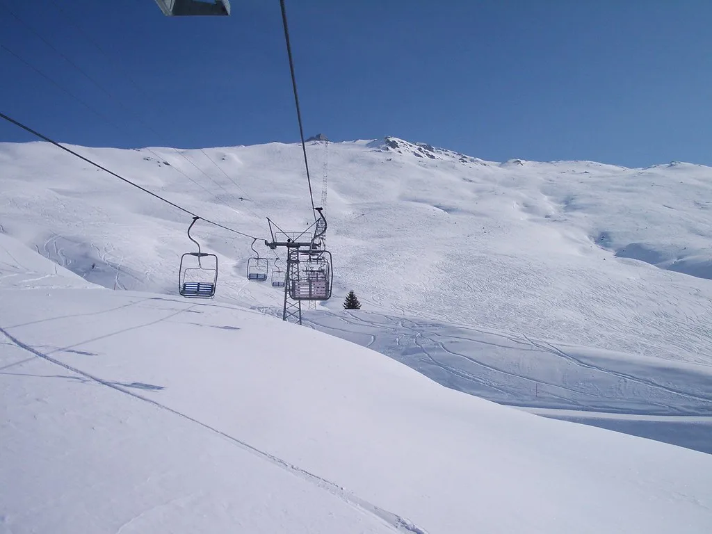
Checks to make before a ski day
Before you commit to a plan, run through the questions the map cannot answer: are the lifts you need scheduled for your dates, do you have the right ticket for the sectors you intend to use, and is your base connected to the sector you plan to finish in? Confirm ticket inclusions and opening hours on the Flims Laax pages rather than assuming a mapped link is running. A short check the evening before usually beats a long detour on the mountain.
If you are travelling to the resort, the nearest major airport is Zürich, roughly 144 km away with a transfer time around 90 minutes in good conditions, and Ilanz is about 12 km from the resort by rail. Those figures describe typical access, not a guarantee on a snow day, so allow slack in winter. For local orientation rather than slope detail, a town and road map is a separate resource from the piste map.
Use the map as a live tool
The Laax ski map is most useful when you treat it as a network of sectors and lift links rather than a static picture. Decide which base you will finish at, pick the sectors that match your level, and note the one connection that makes the day work. Then confirm the details on the official pages and check the pass you need for the sectors you have chosen.
Frequently Asked Questions
Where can I find the official Flims Laax piste map?
Your skiing and snowboarding page links the slope map alongside ticket and opening-hours tools, and the homepage carries these service links too. Use that live version rather than a saved image, since it reflects the current season's layout and links. A screenshot is fine for orientation but won't show what is scheduled.
Which sectors does the Flims Laax ski map cover?
Documented sectors include Flims and Foppa, Nagens, Laax and Crap Sogn Gion, and Falera, with named terrain at Alp Dado, Mutta Rodunda, La Siala and the Vorab area. Reading the map by sector helps you decide where to start and where you will finish, because different valley bases change your return logistics.
Is Flims Laax suitable for beginners according to the map?
The map describes a beginner ticket covering Flims to Foppa or Nagens and Laax or Falera to Crap Sogn Gion. First turns are documented on the Ami Sabi slope at Spalegna in Flims, with easy pistes around Alp Dado. The Ami Sabi Snow Wonderlands are described as open to LAAX School customers only; check access with the school.
How do I check whether the lifts I need are running?
Use the opening-hours, ticket and webcam tools together, and read the slope map for the sectors you intend to use. The map shows how areas link but not daily operations, so check status before you fix a plan. A scheduled winter season is conditional, and not every mapped lift or link may operate on your dates.
Sources
Useful notes for your next ski trip
Optional updates to our Alpine resort guides.
You might also like

Continue reading
More guides you'll find useful