
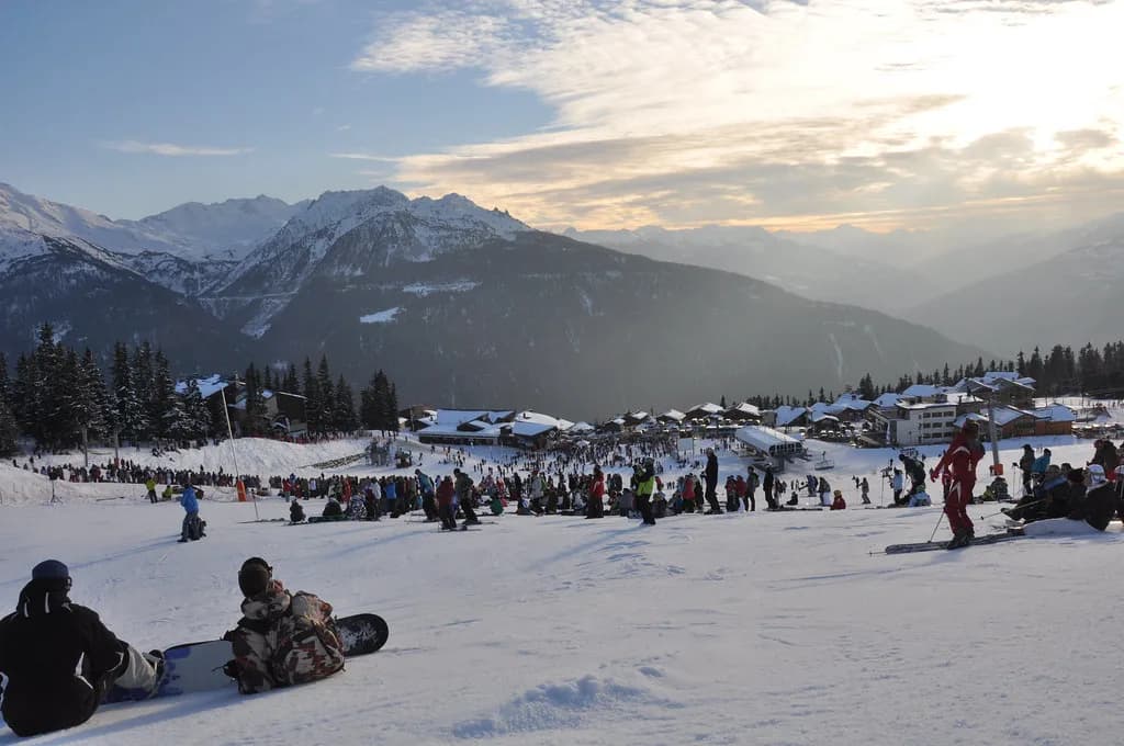
La Rosière Piste Map: Read Espace San Bernardo Slopes
Read the La Rosière piste map with confidence: Espace San Bernardo sectors, Les Eucherts, Mont Valaisan and the Italian link to La Thuile.
On this page
A La Rosière piste map is a cross-border document: the French village and its Italian neighbour La Thuile share one ski domain, the Espace San Bernardo. That single fact shapes how you read the plan, because the map is really two linked ski atmospheres on one sheet rather than one bowl of slopes.
The resort sits at 1,850m on the road climbing from Bourg-Saint-Maurice towards the Col du Petit Saint-Bernard, and the combined area is listed at 160km of piste between 1,850m and 2,800m. Those two numbers are your first scale check: a mid-sized vertical range spread over a genuinely large kilometre count, which tells you the map rewards planning rather than lapping one sector.
What the Map Covers: One Domain, Two Countries
The Espace San Bernardo combines La Rosière with La Thuile, so the full piste map runs from the French village through the Col du Petit Saint-Bernard area and down into Italy. Read it as a through-route network rather than a loop: the Italian side opens up a wide spread of beginner and intermediate pistes, while the French side carries the resort bases and the higher lift-served terrain.
Practically, that means one lift pass covers both countries on the same map, and a normal day can include a French morning, an Italian pasta lunch and a French afternoon. The trade-off is commitment: once you drop towards La Thuile you are a long way from Les Eucherts, so mark your return route before you cross.
Resort Layout: Village Centre Versus Les Eucherts
La Rosière has two distinct residential bases, and the map shows them as separate starting points. The original village centre sits on the road up to the pass, while Les Eucherts lies about a mile further around the mountain, connected by bus, with its own Croisette ski-front cluster of restaurants, hire shops and ski schools.
Les Eucherts is the better map anchor for families and anyone who wants to walk to the lifts: most of the chalets there sit close to the lift hub and many are effectively ski-in, ski-out. Choose the village centre if you prefer the older chalet-style streets and a slightly broader spread of bars and restaurants, and accept a short bus or lift ride to reach the main access points.
Whichever base you pick, locate both on the plan before you book accommodation. A property described as central may sit in one base and put you twenty minutes from the other base's lifts, so check the address against a piste map view rather than a town-centre search.
Altitude, Scale and What 160km Really Means
The base sits at 1,850m and the lift system tops out around 2,800m, a vertical range that keeps most of the ski area above the tree line on the upper mountain. The 160km figure covers pistes in both countries, so a fair share of that distance needs the Italian link to be open for you to use it all.
South-facing slopes and a good snow record sit together here, which the map explains better than any snow report: the resort's height compensates for its aspect, but late-season sun still softens lower runs. Plan high-altitude sectors for warm afternoons and keep the lower return pistes for the morning.
Lift Hubs and Named Lifts to Find First
Orientate on four names before anything else. Les Eucherts is a lift hub and the main family access; the Moulins and Mont Valaisan Express chairs serve the steeper, higher terrain; and on the opposite side of the map the Les Suches gondola runs a long ascent towards the Italian sector.
Trace the long lifts on the plan before you ride them: Les Suches runs 1,717m and the Ecudets chair 2,152m. Long lifts buy altitude quickly, but they also mean a long way back if the weather turns, so note the lower alternatives that return you to the French side.
On the upper mountain, the top of the Lièvre Blanc ski lifts is the meeting point on the slopes, and it is the natural landmark for regrouping with a mixed-ability group. Mark it, mark Les Eucherts, and you already have a working map of the resort's two anchors.
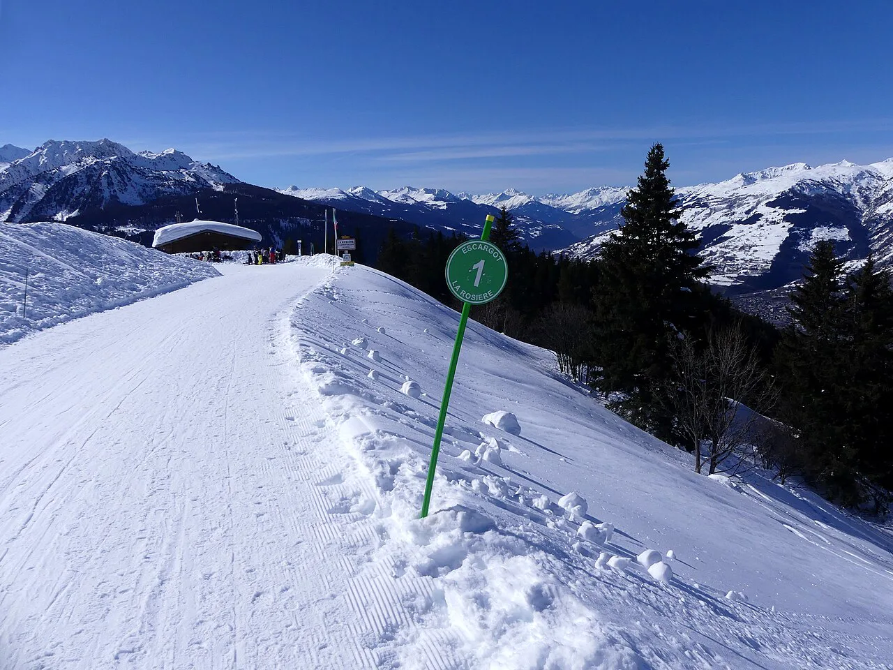
The Italian Side: What Changes When You Cross to La Thuile
Heading into Italy, the map changes character: pistes broaden, the terrain is friendlier for beginners and intermediates, and there is nothing seriously challenging in the La Thuile sector. Treat it as the cruising half of the domain and plan your longest lazy runs there.
Lunch is the practical reason many skiers cross: mountain restaurants around the border, including Le San Bernardo and the Relais du Petit St Bernard, sit at natural map waypoints. Note which side of the border your chosen stop falls on so you leave enough time to climb back before the connecting lifts close.
Skiing by Ability on the Plan
Beginners should stay on the lower map: the nursery slopes and the Les Eucherts sector give wide, gentle terrain and an exceptionally good branch of the ESF, and the Croisette area puts lessons, hire and lunch within a few steps of each other. Book lessons and equipment in advance for peak weeks so you are not spending a morning queuing.
Intermediates own the middle of the map: wide motorway pistes on both sides of the border allow big, confidence-building days. Experts get the smallest share, and the honest reading of the plan is that La Rosière is not a resort for hard on-piste challenges; the Moulins and Mont Valaisan Express chairs serve the better-skier terrain, with high off-piste from the top at 2,800m.
The fun zones give families a map-reading exercise of their own: the Family Park, the Funcross and the Boardercross are separate marked areas rather than through-routes, and the Petit Saint Bernard trail is aimed at the youngest skiers. Pin them so children know where the day is heading.
Aspect, Sun and Snow-Sure Sectors
Read the contours, not just the lines: the resort's south-facing position means sunny lower slopes soften first, while the height of the ski area keeps upper terrain colder. Early in the season, ski the lower map; in March and April, work the top of the lift system and leave valley runs until they have softened.
This is also where the map shapes your season choice. If you are booking late-winter dates, weigh a high-altitude base such as Les Eucherts or upper-mountain access against the convenience of the village centre, and check the planned operating window before you commit.
Wind and the Italian Link
Winds can close the lift links with Italy, which is the single most important thing to know when reading a cross-border map. A day planned around La Thuile can collapse back to the French side without warning, so build a French-only plan as your fallback and save the Italian crossing for a settled, calm morning.
Check the link before you commit to the crossing. The resort publishes real-time information on lift and slope status, with webcams and wind data at altitude, which is the fastest way to see whether the upper lifts and border connections are running.
Paper, PDF and Phone: Getting the Map in Hand
Pick up the printed plan from the tourist office or with your lift pass, and keep a digital copy on your phone for the days you ski with a pocket map buried in a jacket. The official resort site and app carry the domain map alongside live status, so the phone version doubles as your conditions check.
If you are used to single-resort plans, the cross-border layout takes a little unlearning; our Alpe d Huez piste map guide shows a similar sector-by-sector approach on a purely French domain, which makes a useful comparison for reading lift hubs and aspect.
Plan the Day Around the Map, Not Against It
Use the plan to fix three points each morning: where you start, where you lunch, and which lift you must catch last. Lunch stops cluster at the Lièvre Blanc lift-top meeting area on the French side and around the border restaurants in Italy, so pick one that matches your afternoon direction rather than doubling back.
For mixed groups, agree a base meeting point such as the Les Eucherts hub or the top of the Lièvre Blanc lifts, and set a return time that leaves a full lift cycle of slack. Hire gear the evening before at a shop near your starting lift so the first morning goes to skiing rather than admin.
Plan Your Visit
Read the La Rosière piste map as two bases, two countries and one lift system, and the days plan themselves: beginner mornings at Les Eucherts, intermediate cruising into Italy on calm days, high-altitude laps when the sun softens the lower slopes. Check current prices and dates on the official site before booking, and confirm slope and lift status on the day.
Get the base right first, then the pass, then the map: Les Eucherts for lift-side convenience, the village centre for a quieter old-resort feel. With those settled, the cross-border plan becomes the pleasure of the trip rather than the puzzle.
Frequently Asked Questions
Where can I get a La Rosière piste map?
Printed plans are available from the tourist office and with lift passes, and the official La Rosière site and app carry the domain map with live status. Keep a photo on your phone so you always have a copy on the mountain.
Does the La Rosière piste map include La Thuile in Italy?
Yes. La Rosière shares the Espace San Bernardo domain with La Thuile, so the full plan covers both the French and Italian sides, including the cross-border lift connections.
What is the Espace San Bernardo ski area?
It is the combined ski domain formed by La Rosière in France and La Thuile in Italy, sitting either side of the Col du Petit Saint-Bernard. One pass covers both sides, and the two halves offer distinct skiing atmospheres.
How high is La Rosière and how much skiing is there?
The resort base sits at 1,850m and the lift system reaches around 2,800m, with roughly 160km of piste across the combined French and Italian area. Much of that distance depends on the Italian link being open.
Which side of La Rosière is best for beginners?
The Les Eucherts sector is the most convenient for beginners, with nursery slopes, ski schools, hire shops and restaurants clustered at the Croisette ski front within a short walk of most chalets.
How do I get from La Rosière village to Les Eucherts?
A bus links the original village centre with Les Eucherts, which sits about a mile further around the mountain. Many skiers based in Les Eucherts simply walk to the nearby lift hub instead.
Are the lift links to Italy ever closed?
Yes, wind can close the cross-border lift links. Check the resort's live slope and lift status before setting out, and keep a French-side plan ready as a fallback for days when the connection is shut.
Sources
Useful notes for your next ski trip
Optional updates to our Alpine resort guides.
You might also like
Continue reading
More guides you'll find useful
.JPG)