Engelberg Ski Map: Titlis, Brunni and Jochpass Sectors
Read the Engelberg ski map by sector: how Titlis, Trübsee, Stand, Jochpass and Brunni connect, and how to check live lift status before committing to a day.
On this page
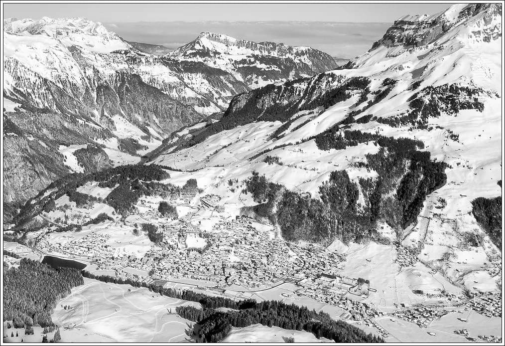
Engelberg's piste map confuses people because it looks like one large area but behaves like three separate ones. The village sits in the valley floor, the Titlis lift system climbs the northern side, Brunni faces it across the valley, and a high link at Jochpass joins the upper terrain.
Reading the map as sectors rather than as a single loop is the difference between a relaxed day and a rushed one. Crossing from one side to the other costs time, and the higher lifts are the ones most likely to be affected by conditions, so the sequence you ski matters more here than at a compact resort.
Why the Engelberg Map Reads as Sectors, Not One Network
The map divides naturally into the Titlis side, reached from the village centre, and the Brunni side on the opposite, sunnier slope. The two are not connected by lift at valley level, so you choose one for the morning rather than drifting between them. Treat each side as its own small resort with its own base station, terrain character and pace.
Above both, the Jochpass area links into the Titlis system and adds a third zone that only matters once you are already high on the mountain. That is why a printed map can look continuous while a day on snow feels like three separate decisions. Plan which sector you are committing to before you buy a ticket or set an meeting time.
Titlis Side From Bottom to Top: Village, Gerschnialp, Trübsee and Stand
The Titlis side climbs in clear stages: the valley station in Engelberg, the Gerschnialp terrace, then Trübsee, then Stand, and finally the summit station above. Each stage has its own lift and its own character, so the map effectively offers four separate places to stop rather than one long ascent. Gerschnialp is the gentlest and closest to the village.
The official open-trails page lists the operating lifts by sector, including the Engelberg to Gerschnialp connection, the Trübsee lifts and the Stand sequence, which is the quickest way to see how far up the mountain is actually running on a given day. Check it before deciding whether to start high or warm up lower down. That page is a live status tool, not a substitute for the printed piste map.
The Summit Level: Titlis Rotair, Klein Titlis and the Valley Run
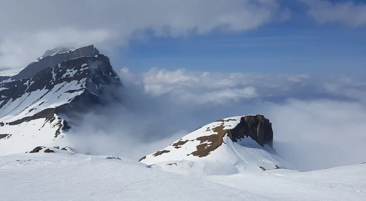
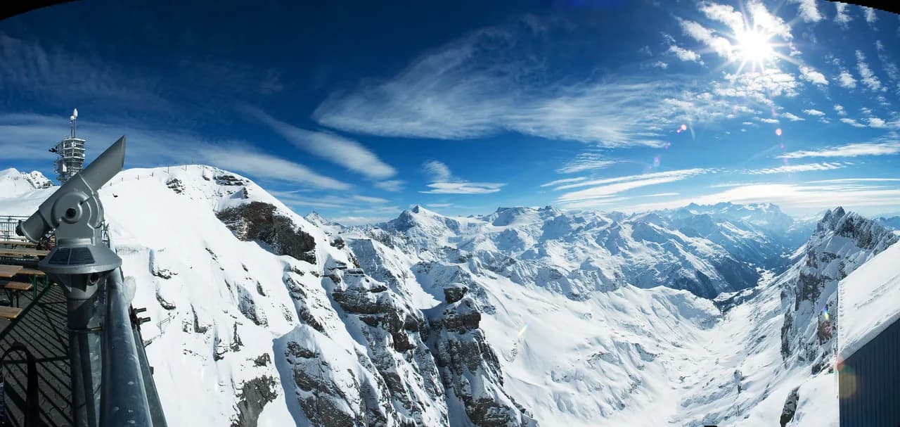
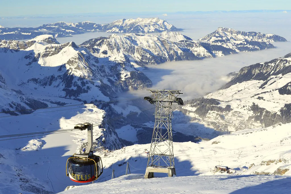
The revolving Titlis Rotair connects Stand to the summit station, which is the highest lifted point on the map and the reason the resort's vertical range is so large. Above the tree line the map shows glacier terrain, which reads very differently from the lower sectors and is exposed to weather in a way the valley floor is not.
The long descent back towards the village starts from this upper zone and is the signature line on the map, but it should be treated as conditional rather than guaranteed. Glacier access and upper lifts can be affected by wind or snow conditions, so the sensible approach is to check status on the day and keep a lower-sector plan in reserve.
Jochpass and Jochstock: The High Link That Changes Your Day
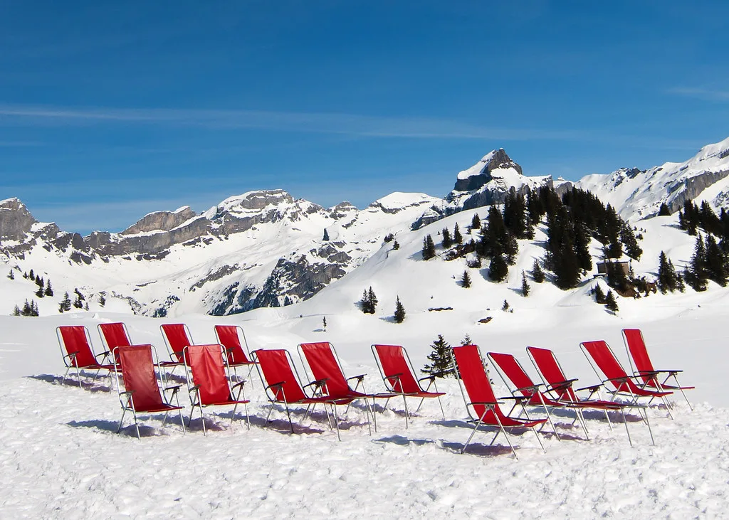
Jochpass and Jochstock sit above Trübsee and act as the junction that makes the Titlis map feel larger than a single fall-line. If that link is running, you can extend a Trübsee morning into a much longer circuit; if it is not, the day stays within the lower Titlis stages. This single connection is the most useful thing to check on the live status page.
Because the link sits high, it is also one of the first places to be affected when conditions change, so building your plan around it carries risk. A better approach is to decide on a primary lower route and treat the Jochpass extension as a bonus. Skiing the link without checking wastes the time you spent queuing to reach it.
Across the Valley: Brunni, Klostermatte and Ristis
Brunni faces the Titlis side across the valley and has its own base station, with the Klostermatte area near the bottom and Ristis further up. The official page lists the Engelberg to Ristis lift and the Ristis to Brunnihütte connection, plus beginner-friendly amenities including a Bordbahn. The character here is sunnier, quieter and more contained.
Because Brunni is not lift-linked to Titlis, the map should not be read as offering a single crossing between the two. If you want both sides in one trip, plan them as separate half-days rather than trying to ski between them. Beginners often find this side a more comfortable place to build confidence, and there is more detail in our guide to skiing for beginners.
Reading the Map With Live Status and Reconciling Conflicting Figures
The official open-trails page updates daily and lists facilities by sector, including Titlis, Brunni, Fürenalp and Bannalp, with an interactive map alongside. It is the right tool for answering what is actually open today, and it should be checked in the morning before you commit to a route. Do not rely on a printed map alone for operational status.
Published totals for the resort do not agree. One guide lists the Titlis side with its own piste-kilometre figure and a lift count, while a resort-facts table on the same page gives a different total, so neither number should be treated as settled. Read the map for sector layout and lift sequence rather than for a precise terrain total, and keep an eye on Engelberg Titlis's open facilities page for the current lift and trail status before your trip.
Using the Engelberg Map to Plan Your Day
Start by choosing a side: Titlis for vertical and the high link, Brunni for a calmer, sunnier and more contained day. Then check the live status page for which lifts and links are running, and only after that decide whether the summit or Jochpass is part of the plan.
If you are new to the resort, our beginner guide and the wider skiing guide cover how the sectors translate into actual days on snow. Treat the map as a layout plan and the live page as the operational one, and the two together will serve you better than either alone. For the practical details, see the Engelberg lift pass guide.
Frequently Asked Questions
What does the Engelberg ski map actually cover?
The map shows two main ski sectors on opposite sides of the valley, plus a high link above Trübsee. The Titlis side climbs from the village through Gerschnialp, Trübsee and Stand to the summit, while Brunni has its own base station and gentler terrain. They are separate areas rather than one continuous network.
How do you get from the Titlis side to Brunni?
There is no lift connecting the two sides, so you travel between them at valley level. Each has its own base station in the village area. Plan them as separate half-days rather than expecting to ski across.
Where does the long valley run back to Engelberg start?
The long descent to the village begins from the upper Titlis zone above Stand. Upper lifts and glacier access can be affected by wind and snow, so check the live status page before counting on it.
How do you check which Engelberg lifts are open today?
The resort's official open-trails page is updated daily and lists operating facilities by sector, with an interactive map. Use it each morning to confirm which lifts and links are running before you set a route for the day.
Sources
Useful notes for your next ski trip
Optional updates to our Alpine resort guides.
You might also like
Continue reading
More guides you'll find useful