Val Cenis Ski Map: How to Read the Pistes and Lifts
Use the Val Cenis piste map to plan your day: 125 km of runs from 1,300 m to 2,800 m, the Lanslebourg and Lanslevillard sectors, and the Termignon link.
On this page
The Val Cenis piste map is best read as a portrait of two villages rather than a single resort. Lanslebourg and Lanslevillard sit along the Arc valley in Savoie and share one lift network, which is why the map's vertical layout matters as much as its coloured lines. Get the layout straight before you book and you will pick the right base, the right pass and the right sectors for your ability.
Below you will find how the map is structured, what the altitude bands and terrain figures actually mean, which sectors suit which skiers, and where to download or pick up the official version. The Italy question comes up often, so it gets a direct answer, along with the practical matter of pairing the static map with live lift and snow information.
Why the Val Cenis Piste Map Matters Before You Book
Val Cenis is the largest ski area in Haute Maurienne Vanoise, formed from the two villages of Lanslevillard and Lanslebourg, and it is linked with Termignon under a single lift pass. That structure means your choice of base village, not just your ability level, determines which lifts and runs sit on your doorstep. The map makes those relationships visible in a way a list of statistics never will.
Two things follow from the layout. First, the skiing spreads along the valley rather than radiating from one hub, so a little time with the map saves a lot of lift-riding between sectors. Second, the Termignon link is a genuine extension of the local terrain, and knowing where it attaches helps you decide whether a day over there is worth the transfer.
How the Map Is Laid Out: Lanslevillard, Lanslebourg and the Termignon Link
On the piste map, Lanslevillard sits at the southern end of the valley and Lanslebourg occupies the northern stretch, with the marked terrain rising on both flanks above the valley floor. The two village bases are close enough to feel connected but far enough apart that your accommodation choice shapes your daily routine. Termignon extends the network further along the valley under the same pass.
When you open the map, trace the valley road first, then find the lifts that climb out of each village. That exercise tells you where the return runs funnel back to and how much skiing sits above each base. It is a quicker orientation than starting with colour grades, because it fixes the geography in your head before the detail arrives.
The official Val Cenis site publishes a trail map alongside the ski-area description, so that version is the one to trust when you plan. The resort's own page also sets out the scale of the domain in one place, which is useful for cross-checking the numbers on third-party maps.
Altitude and Terrain Numbers the Map Reveals
The marked terrain runs from 1,300 m at valley level to 2,800 m at the top, giving a vertical range of about 1,500 m. Published figures put the skiable area at 125 km, with the number of individual runs varying between sources depending on how pistes are counted and named. Treat the totals as a reported range rather than a precise inventory.
OnTheSnow lists 62 runs across that 125 km, with a longest descent of 10 km and a terrain split weighted towards intermediate and advanced skiers. Its lift count of 29 matches the other published summary, which is a good sign that the infrastructure figures are stable even where run counts differ.
What the altitude band means in practice is that the upper mountain holds snow better than the village-level runs, so late in the season you should expect to spend more of your day on the higher lifts. Early and late in the winter, the lower return runs to Lanslebourg and Lanslevillard are the first to thin out.
Reading the Colour Coding: Greens, Blues, Reds and Blacks
One published breakdown gives 9 green pistes, 18 blue, 23 red and 5 black, which adds up to 55 marked runs. That is a noticeably balanced mountain, with the bulk of the terrain in the blue and red grades and a modest but real allocation of black.
The percentages tell the same story from another angle. OnTheSnow reports beginners at around 24% of the terrain, intermediate at 34%, advanced at 34% and expert at 8%. The takeaway for planning is that a mixed-ability group can spend most of a day on the same sector, because the blue and red bands dominate.
If you are an expert skier, don't expect the map to be wall-to-wall steeps. The black terrain is limited, so plan to work the reds at speed and use the blacks as punctuation. If you are new to the resort, the greens and easy blues are concentrated enough to keep a first trip comfortable.
Lift Network at a Glance
The published lift inventory is 29 installations: 2 gondolas, 13 chairlifts and 11 surface lifts, while OnTheSnow breaks the same 29 down as 2 gondolas and trams, 7 high-speed six-seaters, 3 quads, 1 triple, 2 doubles and 14 surface lifts. The gondolas are the workhorses for gaining height quickly from the valley.
Surface lifts matter more here than the headline chairlift count suggests. With 11 to 14 drags and buttons depending on how they are counted, they serve the nursery slopes and the upper connections, which is exactly the kind of detail the map shows but a summary statistic hides.
When you read the map, mark the two gondolas first and build your day around them if you want long, uninterrupted laps. Then find the chairlift clusters above each village and note which ones link across the valley. That two-step approach turns a busy map into a manageable plan.
Which Sectors Suit Beginners, and Where the Nursery Zones Sit
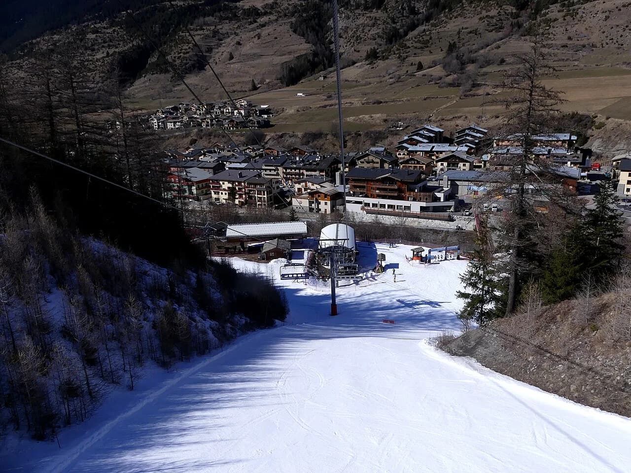
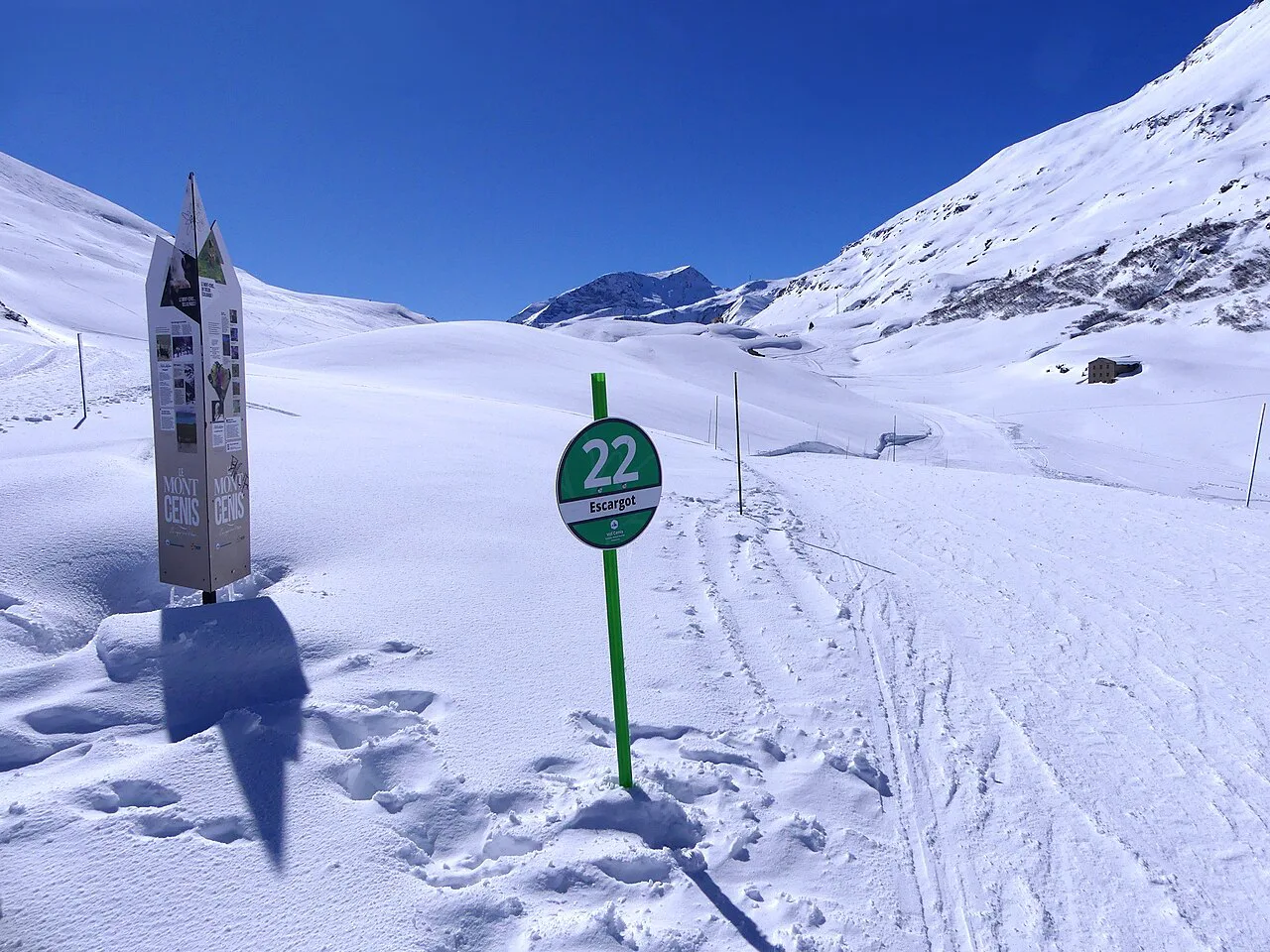
Beginners should orient towards the village-level terrain at Lanslebourg and Lanslevillard, where the gentle greens and easiest blues sit close to the base lifts. The separate beginner zones near each village make it practical to stay local in the morning and progress in the afternoon without a long commute.
The terrain percentages back this up: roughly a quarter of the mountain is rated for beginners, which is enough to keep a first-week skier occupied for several days. A snow park, boarder cross and toboggan run add options for non-skiing afternoons or mixed groups.
If you are booking lessons, the base you choose should follow the nursery zone you will use most. Being within walking distance of the beginner lifts saves a lot of carrying and bus-riding in the first days.
Intermediate Cruising: Linking Sectors Without Repeating Runs
Intermediates have the widest choice here, with 18 blue and 23 red pistes spread across both villages and the Termignon extension. The trick to a satisfying day is to link sectors rather than lap one lift: start from your base, work across the valley, and return on a different line.
The map's reds are where the cruising lives. Pick a handful of reds that connect through the mid-mountain rather than descending to the valley each time, and you will spend more of the day skiing and less on lifts. The 10 km longest run is a good target for a confident intermediate who wants a single long descent.
If your group spans abilities, choose a sector where a blue and a red run down to the same lift, so everyone meets at the bottom. The valley layout makes this easier than on a radial mountain, because the runs above each village tend to converge on shared lift bases.
Steep and Black Terrain for Advanced Skiers
The five black pistes are the map's headline steeps, and the 8% expert share reflects a mountain built more for fast cruising than for sustained extreme terrain. Advanced skiers should treat the blacks as targets to tick off, then spend the rest of the day on the steeper reds at speed.
The off-piste and freeride options sit outside the marked piste count, so the map alone won't tell you the full story of the steep terrain. Use it to identify the high-altitude sectors and the lifts that reach them, then judge conditions on the day.
Long Descents and the 10 km Run the Map Highlights
The longest marked descent is 10 km, which is a genuine top-to-bottom run rather than a valley path. On the map, trace it against the altitude band to see how much vertical it covers, and plan to ski it when your legs are fresh rather than at the end of the day.
Long descents on a valley-shaped mountain often finish at a village base, which means a lift ride back up before you can repeat it. Check whether your chosen long run returns you to your own village or to the other one, because that determines how you get home at the end of the day.
Cross-Border Skiing: Can You Reach Italy from Val Cenis?
No. The published maps and resort information show Val Cenis linked with Termignon and the wider Haute Maurienne Vanoise domain, not with a lift connection into Italy. Val Cenis sits near the border, but the marked network extends along the valley westward rather than across it.
If a cross-border day is on your wish list, plan it as a separate trip rather than a spur from your Val Cenis pass. The resort's own pages are the place to confirm what your pass covers, and they are clear about the linked sectors.
Getting the Map: Official PDF, Printed Versions and Interactive Tools
The most reliable version is the trail map published by the Val Cenis tourist office on the resort's ski-area page alongside the domain description. It is updated with the season and reflects the current lift and piste network, which third-party copies may not.
For a quick overview before you travel, an interactive piste map is the handiest option: OnTheSnow hosts one that lets you pan around the resort and check the layout on a phone. Paper maps are usually handed out at lift offices and tourist information points when you arrive, though stock and availability change with the season.
If you are comparing resorts, a static map guide for a bigger French domain can help you judge scale. The Alpe d Huez piste map guide is a useful reference point for how a large, lift-linked area is laid out.
Using the Map with Live Lift Status, Webcams and Snow Reports
A piste map is a static document, so pair it with live information before you commit to a sector. Lift status, webcams and snow reports tell you what is actually running and where the snow is holding, which matters most in the shoulder weeks of the season.
A sensible routine is to check the map the night before, pick two sectors that suit the forecast, and decide between them on the morning. That way a closed lift or a wind-hit ridge doesn't derail your day, because you already have a backup planned.
For late-season trips, the same approach pays off with a longer horizon.
Lift Pass Products and Where to Buy Them
The Val Cenis ski pass covers the local villages and the Termignon link, and the resort also sits within the wider Haute Maurienne Vanoise pass network. Which product suits you depends on whether you plan to stay local or explore neighbouring villages, so check the coverage before you buy.
Passes are sold online in advance and at the lift offices in each Val Cenis Lanslevillard and Lanslebourg base. Buying ahead usually saves time in the morning queue, especially in peak weeks, and lets you load a hands-free card before you arrive. Prices and product names change each season, so confirm them on the official site before you commit.
Ski Schools and Hire Shops Near the Main Lift Bases
Ski schools operate from the main lift bases in both Lanslebourg and Lanslevillard, and group and private lessons are the standard offering for visitors. Booking lessons before you travel is the safer bet in school holiday weeks, when popular time slots fill up.
Hire shops cluster around the village centres and lift stations, with the usual range from beginner packages to performance skis. Booking Val Cenis ski hire in advance often secures a better rate and guarantees your size, which is worth doing if you are travelling in a busy period.
Getting to Val Cenis and Moving Between the Villages
Val Cenis sits in the Maurienne valley in Savoie, reached by road from the valley towns and by rail to nearby stations with an onward road transfer. The two base villages are a short drive apart, and local transport links the valley, so you don't need a car for every day of your trip.
If you are staying in one village and want to ski the other, plan the transfer into your day rather than treating it as an afterthought. A morning start in your home village and an afternoon on the far side, with a bus or lift link back, gets you the variety without wasting time.
Common Map-Reading Mistakes on a First Val Cenis Trip
The most frequent slip is assuming Val Cenis is one compact resort with a single hub. In reality, Lanslebourg and Lanslevillard are separate bases along the valley, and which one you book changes your daily routine more than any other decision.
Another common error is to read the 125 km as one contiguous playground. The Termignon link is a real extension and worth a day, but the transfer time is part of the plan. Treat the resort statistics as a range rather than a fixed count, and confirm the numbers against the current map.
Finally, don't plan your week purely from a summer-time map. Lifts, runs and connections change with conditions, so re-check the map once you arrive and adjust your itinerary to what is actually open.
Plan Your Visit
Read the Val Cenis piste map as a two-village valley system: Lanslevillard in the south, Lanslebourg in the north, and the Termignon link as an extension. With 125 km of marked runs between 1,300 m and 2,800 m, a balanced blue and red terrain, and 29 lifts, the resort rewards a little planning ahead of your trip.
Choose your base by the skiing you want most, then use the map to link sectors rather than lap single lifts. Check current prices, pass coverage and lift status on the official site before you travel, and download the trail map so you have it in your pocket.
Frequently Asked Questions
Where can I download the Val Cenis piste map?
The official trail map is published on the resort's ski-area page at valcenis.com, and it reflects the current season's network. An interactive version is also available from OnTheSnow for panning and zooming on a phone.
How many kilometres of piste does Val Cenis have?
Published figures put the skiable terrain at 125 km, with the number of individual runs varying between sources depending on how pistes are counted. The resort's own page and piste-map sources are the best cross-check.
Is Val Cenis good for beginners?
Yes. Roughly a quarter of the terrain is rated for beginners, with nursery zones near both villages and a good spread of green and blue pistes close to the base lifts. It is a practical choice for a first ski trip.
Is Val Cenis snow sure?
The upper mountain reaches 2,800 m and holds snow better than the village-level runs at 1,300 m. Early and late in the season, expect to spend more of your day on the higher lifts, and check the live snow report before you travel.
Can you ski to Italy from Val Cenis?
No. The marked network links Lanslebourg, Lanslevillard and Termignon, not across the Italian border. Val Cenis sits near the border, but there is no lift connection into Italy from the resort.
Is Val Cenis expensive?
Prices vary by season and pass product, and current rates are published on the official site. Buying passes and hire in advance is the usual way to keep costs down and secure availability in busy weeks.
How many lifts are there at Val Cenis?
The published inventory is 29 installations, including 2 gondolas, 13 chairlifts and 11 surface lifts, with a further breakdown counting high-speed six-seaters, quads and smaller chairs among the chaired capacity.
What is the longest run at Val Cenis?
The longest marked descent is 10 km. Plan to ski it when your legs are fresh, and check whether it returns you to your own village or the other one.
Sources
Useful notes for your next ski trip
Optional updates to our Alpine resort guides.
You might also like
Continue reading
More guides you'll find useful