Saas-Fee Ski Map: Reading the Piste Map and Valley Sectors
Use the Saas-Fee ski map to understand the Saastal piste network, the separate Heidbodme sector at Saas-Almagell, and live lift status before you ski.
On this page
The Saas-Fee ski map answers one question well: which sector does your ticket actually open? The official operator page presents the Saas-Fee/Saastal region as one network, but the valley contains distinct lift bases that are mapped separately. Treating the map as a planning document rather than a decoration saves you from buying the wrong product or skiing the wrong valley.
This guide explains what the official piste map covers, how Saas-Fee and Saastal differ as labels, where Saas-Almagell's Heidbodme sector fits, and which live-status tools complement a static map. It stays on map and access decisions, so you can pick a sector, confirm pass scope, then check what is running today.
What the Official Saas-Fee/Saastal Piste Map Covers
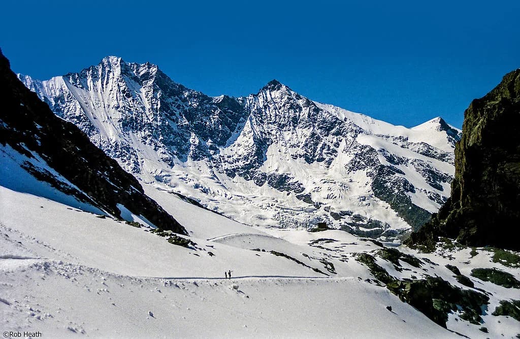
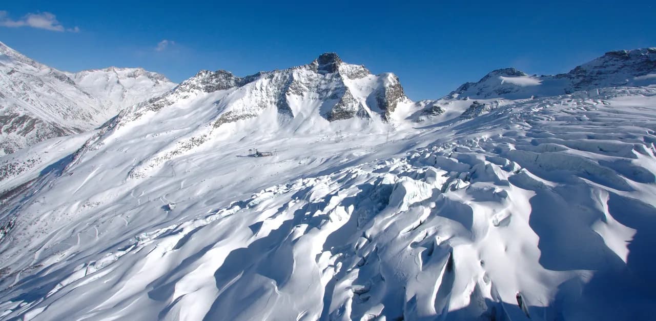
The official Saas-Fee/Saastal winter page describes a region of 150 kilometres of blue, red, black and yellow pistes between roughly 1,500 and 3,600 metres, framed by 18 four-thousand-metre peaks. That altitude band matters when you read the map: lower valley runs and upper glacier terrain sit in different snow regimes, so a single map can show very different conditions on the same day. The colour categories are the map's shorthand for intended difficulty, not a promise that every marked line is open or groomed.
Saas-Fee/Saastal tourism publishes the interactive piste map alongside open-lift status, webcams, timetables and tariffs, so the map is one layer of a live system. Use the map to learn the layout and the status pages to learn what is actually running. The official page also links ski and snowboard rental, snow sports schools, and a Para-Alpine Skiing Saas-Fee programme for people with physical disabilities, each of which sits outside the map itself.
Reading the Geography: Saas-Fee and Saastal Are Not the Same Label
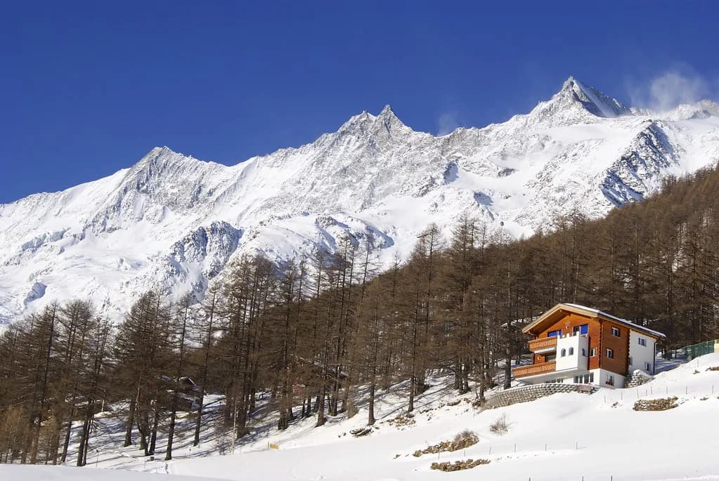
Saas-Fee is a village and lift base; Saastal is the wider valley system that includes Saas-Fee, Saas-Grund, Saas-Almagell and Saas-Balen. The official page uses the combined label Saas-Fee/Saastal for the 150-kilometre region, which is accurate for the network but easy to misread as one contiguous ski area. When a map or pass names Saastal, check which sub-areas are included before assuming your ticket reaches every base.
A third-party ski-area page for Heidbodme–Saas-Almagell describes the valley network as 141 kilometres, a different total from the official 150-kilometre figure. The two sources are counting differently, and neither is necessarily wrong: region totals depend on what is included and how the map is drawn. Treat any single kilometre figure as an approximate scale, not a precise inventory, and use the official Saas-Fee/Saastal map for layout decisions.
Heidbodme–Saas-Almagell as a Distinct Linked Sector
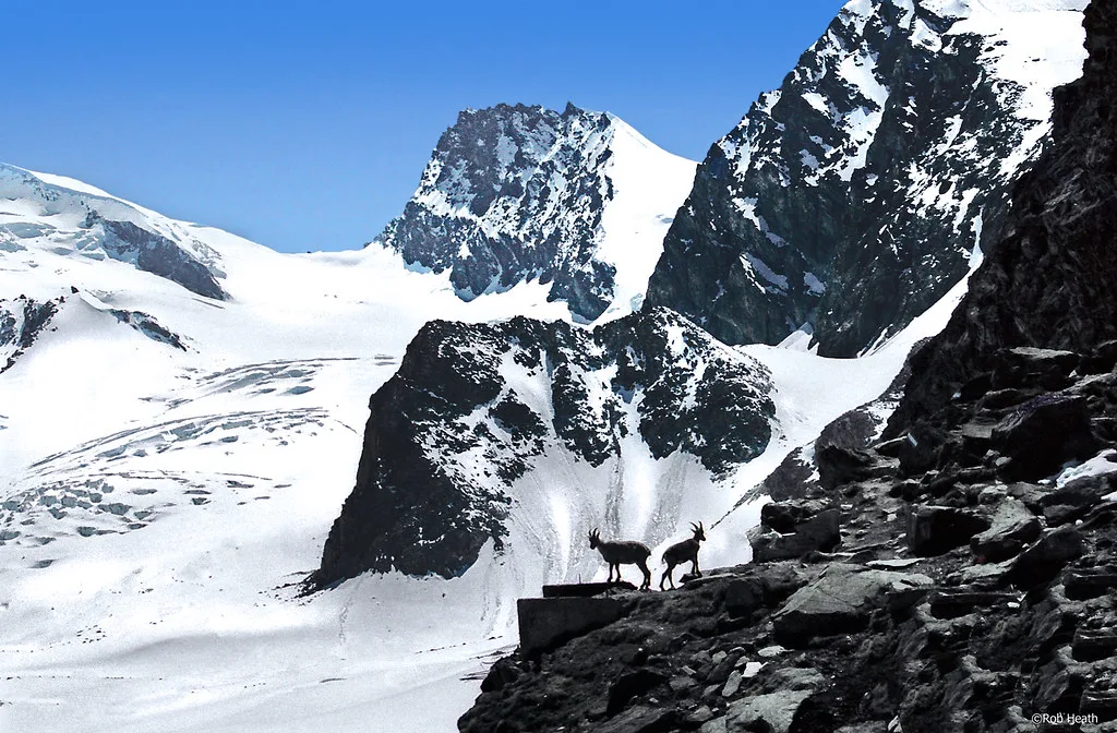
Saas-Almagell's Heidbodme area is mapped separately from Saas-Fee, with 15 kilometres of pistes and seven lifts between roughly 1,684 and 2,347 metres. The same third-party page describes the terrain as predominantly blue and red, with a gondola-free lift system of chairs and tow lifts. That profile suits skiers who want a compact, lower-altitude sector rather than the high glacier terrain above Saas-Fee.
The Furggstalden area above Saas-Almagell is described as a children's zone with a parcours course, snowtubes and children's skidoos. If your group includes beginners or young skiers, the map's separate treatment of this sector is a real planning signal: you can base part of your day here without committing to the higher Saas-Fee lifts. Read the official piste map for what is currently marked before relying on any third-party description.
Where the Destinationspass Sits Against This Map
The third-party page states that the Destinationspass gives access to the wider Saas Valley piste network, including the Saas-Fee glacier ski area, not only the Heidbodme sector. That is the pass mechanism that joins the valley's separate mapped sectors into one ticket, so the map becomes more useful once you know which product you hold. The Saas-Fee/Saastal mountain railways and tourism office publish the inclusions, prices and validity dates for each pass, and pass scope and season terms change from year to year.
Do not infer that a valley-wide name automatically covers every lift. The map may show a connected network while individual sectors operate on separate lift companies or access rules. The official tariff and timetable pages are the place to see what a given ticket opens on your travel dates, and the Saas-Fee/Saastal site links those sections directly.
Live-Status Tools That Complement a Static Map
The official Saas-Fee/Saastal page names several live tools: open lifts, webcams, timetables, tariffs and a Saastal Live status view. A printed or downloaded map cannot tell you whether a specific lift is running, so check open-lift status and webcams on the morning you ski. Use timetables to confirm first and last lift times, and tariffs to confirm what your pass costs before you travel.
Treat these tools as complementary rather than redundant: the map tells you where sectors sit, the status pages tell you what is operational today. If a lift is closed, the map still helps you identify an alternative base or sector. Use the official Saas-Fee/Saastal channels rather than third-party summaries, which may lag behind the resort's own updates.
A Practical Planning Sequence Before You Travel Between Valley Bases
Start by choosing your sector on the map: Saas-Fee for the high glacier terrain, or a lower valley base such as Saas-Almagell if the group wants compact blue and red runs. Then find which pass product covers the sectors you plan to ski, using the official tariff and timetable pages rather than a third-party summary. Only after that should you look at same-day lift and piste status, because a pass that covers a closed lift is still a closed lift.
If you plan to move between valley bases, see whether your ticket and the operating hours allow it on the day, and build in margin for lift queues and travel time. The map's separate treatment of Saas-Fee and Saas-Almagell is a reminder that these are not one seamless ski area. Check connections on the official current map and status pages before committing to a multi-base day. Reading a resort map by sector works the same way elsewhere, so see how to read an Andermatt Piste Map before you plan a split-base day there.
Plan Your Visit
The Saas-Fee ski map is most useful when you read it as three layers: the terrain layout, the pass scope that joins sectors, and the live status that tells you what is running today. Start with the official interactive map, find which product covers the sectors you want, then look at open lifts and webcams on the morning you ski. That sequence prevents the most common mistake, which is assuming a valley-wide name means every lift is open and included.
For the wider resort decision, the Saas-Fee skiing pillar explains how the valley's sectors compare. For ticket specifics, the Saas-Fee ski pass guide covers pass products and boundaries. Use both alongside the Saas-Fee/Saastal piste map and tariff pages, and treat any kilometre total as an approximate scale rather than a guarantee.
Frequently Asked Questions
Is the Saas-Fee ski map the same as the Saastal piste map?
Not exactly. The official operator page uses the combined label Saas-Fee/Saastal for a 150-kilometre region, but the map shows distinct sub-areas including Saas-Fee, Saas-Grund and Saas-Almagell. Read the map for layout and the tariff pages for what your ticket actually covers.
Does the Saas-Fee lift pass cover Saas-Almagell and Saas-Grund?
A third-party ski-area page states that the Destinationspass gives access to the wider Saas Valley network, including the Saas-Fee glacier ski area. Pass inclusions and validity can change, so check current terms before buying.
How many kilometres of piste are shown on the Saas-Fee map?
The official Saas-Fee/Saastal page states 150 kilometres for the region, while a third-party page for Heidbodme–Saas-Almagell states 141 kilometres for the valley. The totals are counted differently, so treat either figure as an approximate scale. Use the interactive map for layout rather than relying on a single number.
How do I check which Saas-Fee lifts are open today?
The official Saas-Fee/Saastal page names open lifts, webcams, timetables, tariffs and Saastal Live as its live-status tools. Check these on the morning you ski, because a static map cannot show whether a specific lift is running. If a lift is closed, use the map to identify an alternative sector.
Sources
Useful notes for your next ski trip
Optional updates to our Alpine resort guides.
You might also like
Continue reading
More guides you'll find useful