Saalbach Ski Map: Reading the Pistes, Sectors and Links
Use the Saalbach ski map to plan days across Saalbach, Hinterglemm, Leogang and Fieberbrunn, with advice on sectors, links, apps and printed maps.
On this page
The Saalbach piste map covers far more ground than the name suggests. It shows a single linked ski area stitched across Saalbach, Hinterglemm, Leogang and Fieberbrunn, drawn as one continuous web of lifts and marked runs. Read it as a planning tool for a multi-day trip rather than a picture of one hillside.
The interactive version published by intermaps lets you zoom into individual lift lines and see how the valleys join up, which is the quickest way to understand the layout before you arrive.
What the Saalbach Ski Map Actually Covers
The map is drawn around four resort bases that share one lift network. Saalbach sits at the centre, with Hinterglemm in the next valley to the south, Leogang to the east and Fieberbrunn further out to the west. Because the area is run as one ski domain, a single pass and a single map cover all four, so you can plan a day that starts in one village and finishes in another.
That geography explains why the map looks so wide. Instead of a single mountain with runs fanning out from one summit, you are reading a chain of ridges and side valleys with connecting lifts at the saddles between them. When you unfold the paper version, note where the lift lines form bridges between valleys — those junctions are the key to moving around without long coach transfers.
Holiday operators such as SNO and Iglu Ski both publish Saalbach piste map pages alongside their resort listings, which is handy if you want a quick look before booking accommodation or a place on the skiing.
The Four Sectors and What Each Side of the Map Is Best For
Treat each village as a sector with its own character. Saalbach is the hub: central, busy and the easiest base for reaching every other part of the map. Hinterglemm spreads along its valley and gives quick access to the southern slopes, while Leogang and Fieberbrunn sit at the outer edges and reward skiers who are happy to travel further from their bed.
For a short trip, staying near the centre saves time on the map's longest traverses. For a quieter week, Fieberbrunn and Leogang bases suit skiers who would rather ski a smaller portion of the network well than chase every corner of it. The trade-off is straightforward: more time on lifts and connecting runs versus more time on the slopes you actually enjoy.
Use the map to match sectors to abilities rather than ticking off runs. Cruising intermediates will spend most time around the central and southern valleys, while confident skiers can push to the outer edges and use the link lifts to return. Anyone booking Saalbach ski lessons can also use the sector layout to choose a meeting point near their accommodation.
Reading the Lift Lines: Gondolas, Chairs and Drag Lifts
The lift symbols on the map tell you as much about pace as the pistes do. Gondolas and modern chairs move you quickly up long verticals, while drag lifts and short surface lifts tend to serve gentle nursery slopes or link runs. Look at the sequence of lifts along a route: a chain of fast chairs means you can cover distance, whereas a string of slow surface lifts signals a sector to save for a relaxed afternoon.
Line thickness and colour on printed and interactive maps usually distinguish major arteries from minor connectors. When you plan a circuit, follow the thickest lines first to understand how the area is stitched together, then use the thinner connectors to close your loop. That habit stops you committing to a valley that only returns via a long, slow series of lifts.
The intermaps version lets you click individual lifts to see how they fit the network, which is more useful for route planning than a static image.
Where the Beginner Zones Sit on the Map
Beginner terrain in a linked area this size is deliberately kept close to the villages. Look on the map for clusters of short, gentle lifts near the resort bases rather than long top-to-bottom lines, because those nursery areas are where first-timers should spend their first days. The base areas of each village generally have the easiest access to this terrain.
The common mistake is treating a long blue run as beginner-friendly just because of its colour. On the map, check what lies between the top of the lift and the bottom of the run: traverses, narrow connectors and busier junctions make some blue routes unsuitable for new skiers even though they are technically easy. Keep beginners on short loops near their base until they can link turns comfortably.
Book ski school early if you are travelling in a peak week, because the beginner zones fill up and group places go first. Your instructor will know which local lifts suit your level better than any map colour.
Intermediates and the Circuit: Planning a Loop, Not an Out-and-Back
The great pleasure of the Saalbach map is that it supports circuits. Rather than skiing up and down one lift all day, intermediate skiers can plan a loop that crosses a ridge, descends into the next valley and returns via a different chain of lifts. This is where the four-village layout pays off: long, varied days without repeating the same run.
To plan a loop, pick two or three junction lifts as anchors and build the day around them. Check that every descent has a lift at its end and that the return leg does not rely on a single connector that might be busy. The interactive map is useful here, because you can trace the whole circuit before committing to it on the snow.
If you are new to the area, the sector chapter of the wider Saalbach Skiing Guide explains how the villages relate to each other before you start plotting routes.
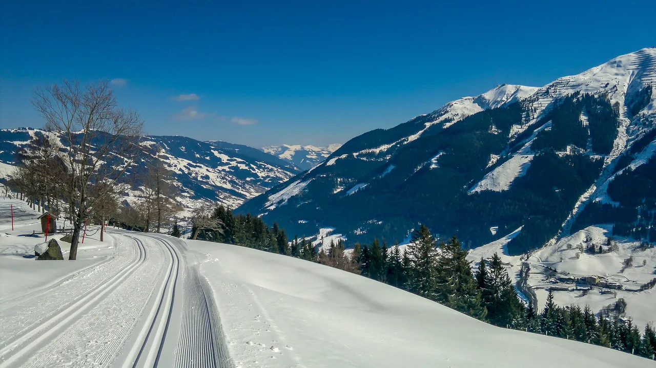
Steep Terrain and Marked Off-Piste on the Map
The map distinguishes groomed pistes from marked but ungroomed terrain, and that distinction matters. Black runs and marked freeride zones are drawn differently from the groomed network, and the symbols tell you whether a descent is patrolled and prepared or left natural. Read the legend before you assume a steep line is just a hard piste.
Serious skiers should treat the map as a guide to where steep terrain sits rather than a route description. Marked off-piste areas sit alongside the lift network, but conditions change daily and the map cannot tell you what the snow is doing. Use it to identify which lift serves the steepest ground, then make decisions on the hill based on what you find.
Where Saalbach Meets Leogang and Fieberbrunn
The boundaries between the linked villages are not hard borders but lift junctions. On the map, look for the points where the Saalbach and Hinterglemm network connects to Leogang on one side and Fieberbrunn on the other. Those junctions are where you cross from one local sector into the next, and they are the places to check lift status before heading out.
A common planning error is to assume you can reach Fieberbrunn quickly from any base. The outer sectors are genuinely further away, and the return leg can take a significant chunk of the day. If Fieberbrunn is a priority, consider basing yourself closer to it or dedicating a full day to the western end of the map.
Printed Map Versus App: Which to Carry
Carry both, but rely on the paper map for route planning. A printed piste map shows the whole area at once, which makes it far easier to see how sectors connect and to spot the lift junctions you need. Fold it into a pocket and use it at lift stations, where cold hands and gloves make phone screens awkward.
The app or interactive map earns its place for live information: lift status, openings and the current conditions that a paper map cannot show. The sensible routine is to plan the day on paper at breakfast, then check the live map before you commit to a long traverse. Battery cold-weather drain is real, so keep the phone warm and charged.
For a sense of how other Austrian resorts handle maps, apps and downloads, the Kaprun piste map Guide makes a useful comparison.
Map Formats: PDF, Interactive and Operator Pages
The intermaps winter map is the closest thing to an official interactive piste map for the area, with zoomable sectors and lift lines. It is the best starting point if you want to study the layout before your trip or screenshot key junctions for offline use.
Holiday operators also host static piste map pages, which are useful when you want a quick overview but offer less detail than the interactive version. Iglu Ski keeps a straightforward Saalbach piste map page for exactly that purpose.
Printed maps are usually available at lift stations and tourist offices in the villages. If you like to mark up routes with a pen, pick one up on arrival rather than relying on a phone screenshot.
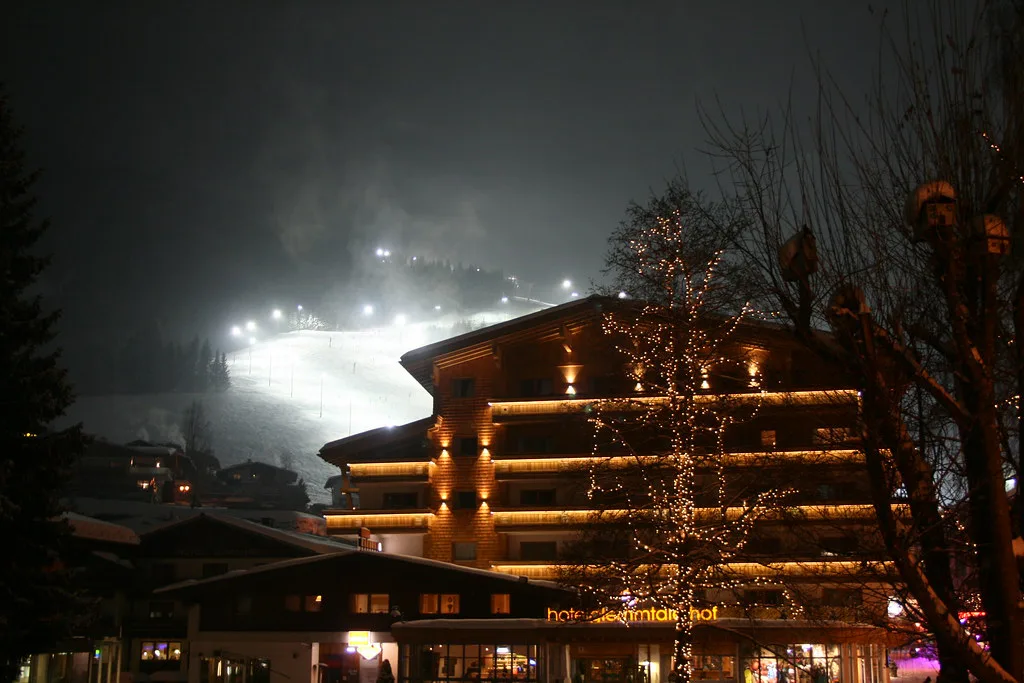
Checking Lift Status Before Committing to a Sector
A map is a plan, not a promise. Wind, snow and maintenance can close individual lifts and change which circuits are possible, so check the live status before you commit to a long traverse across the map. The interactive map is the natural place to do this.
Build flexibility into your day. If a key connector is closed, the map shows alternative routes back to your base even if they are longer. Knowing the fallback options before you set off is the difference between a quick adjustment and a frustrating afternoon of guesswork.
Getting Around Without a Car
The villages on the map are connected by valley roads and local transport, so a car is not essential. Basing yourself in one village and using the lift network plus local buses to reach the others keeps costs and hassle down, though it does mean planning your day around connections rather than hopping in the car.
When you choose accommodation, check its position on the map against the nearest lift. A village-centre base in Saalbach or Hinterglemm makes it easy to reach several sectors, while outlying guesthouses may rely on a bus or a walk to the lifts. That single decision shapes how much of the piste map you will realistically ski.
Kit is the other half of that calculation. If you would rather travel light and collect gear in resort, compare Saalbach ski hire shops near your chosen base before you commit to a village.
Pass Prices and Season Dates: Where to Check
Pass prices and season opening and closing dates change each year, so check them on the official Skicircus site before you book. Your accommodation provider can usually confirm local ticket offices and collection points as well, and pre-booking online often saves time at the lift base.
Use the Map as Your Planning Tool
The Saalbach piste map is best read as a plan for how to move through four linked villages, not a checklist of runs. Pick your base by the sector you want most, plan circuits around the lift junctions and keep a printed map for the moments when the phone is cold and slow.
Once you know the layout, the area's size stops being intimidating and starts being useful. Skicircus Saalbach Hinterglemm Leogang Fieberbrunn gives you the flexibility to ski a different circuit every day of a week-long trip.
Frequently Asked Questions
Where can I find the official Saalbach ski map?
The intermaps winter map is the practical interactive version of the piste map, with zoomable sectors and lift lines. Printed maps are usually available at lift stations and tourist offices in the villages.
How many kilometres of piste are in the Saalbach ski area?
Published totals change and vary by how the area is counted, so check the current figure on the official Skicircus Saalbach Hinterglemm Leogang Fieberbrunn site rather than relying on older trail maps.
Is the Saalbach ski map available as a PDF?
Many holiday operators and tourist offices offer a download, but formats change. Use the intermaps interactive map for planning and pick up a printed copy in resort for reliability.
How do you get from Saalbach to Fieberbrunn on the map?
Follow the lift chain west from the central Saalbach and Hinterglemm sectors to the junction that connects into Fieberbrunn. It is a long day out, so check lift status before setting off.
Which side of the Saalbach ski area is best for beginners?
Beginner zones cluster near each village base where short, gentle lifts serve nursery slopes. Saalbach and Hinterglemm make the easiest bases for new skiers to reach them.
Is there a Saalbach ski map app?
The intermaps winter map works in a browser and is the most reliable interactive tool for planning. Check for any resort-specific app on the official Skicircus site, though a printed map remains the simplest backup.
Where can I pick up a printed piste map in Saalbach?
Lift stations and local tourist offices in the villages are the usual sources. Ask at your accommodation, which often has a stack of maps to hand out.
Which side of the ski area is best for intermediate skiers?
Intermediates get the most from the central and southern sectors around Saalbach and Hinterglemm, where the lift network supports varied circuits. Use the map to trace loops through the lift junctions rather than repeating single runs.
Sources
Useful notes for your next ski trip
Optional updates to our Alpine resort guides.
You might also like
Continue reading
More guides you'll find useful