Les Menuires Piste Map Guide: Which Sectors and Lifts to Ski
Use the Les Menuires piste map to plan Belleville valley sectors, Pointe de la Masse, Three Valleys links, beginner zones and where to find the live map.
On this page
A piste map for Les Menuires does more than show which colour runs where. It sets out a valley resort strung across the slope, a high sector at Pointe de la Masse, and a network of lifts that ties the village into Les 3 Vallées. Learning to read it by lift name rather than run colour is the quickest way to plan a day.
This guide explains what the local map covers, how the sectors fit together and where the connections to Val Thorens, Méribel and Courchevel sit. It also covers beginner zones, digital versus paper versions and how to cross-check the map against live conditions before you head out.
What the Les Menuires Piste Map Actually Covers
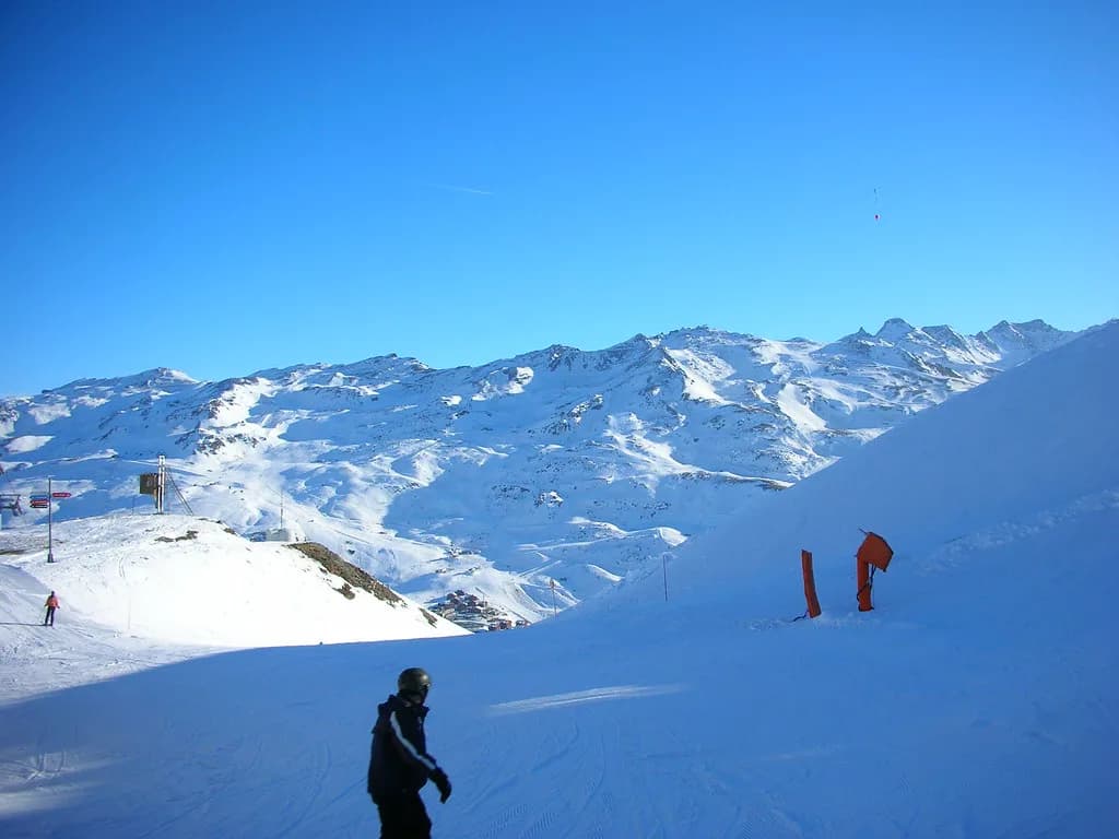
Les Menuires sits in the Vallée des Belleville, within the Les 3 Vallées ski area, and the official resort site presents the village alongside Saint-Martin as one local ski area. That matters when you pick up a map: the local plan answers questions about village lifts and valley runs, while the full-area map answers questions about linking to other resorts. Carry both if you plan to travel beyond the valley.
The Belleville valley is long and the resorts sit at different points along it, so a map that covers only the village will leave you guessing about the upper and lower ends. Treat the local and full-area versions as complementary: one for where you sleep and ski daily, the other for excursions. A panoramic overview is a useful third reference for orientation before you buy a paper map.
The map is a planning tool, not a conditions report. It tells you which lifts and runs exist and how sectors connect; it cannot tell you what is open on a given morning. Keep that distinction in mind and use the resort's live snow and opening pages alongside it rather than instead of it.
Resort Layout on the Map: Les Menuires and Saint-Martin
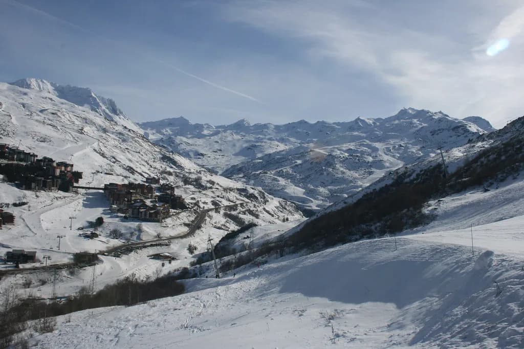
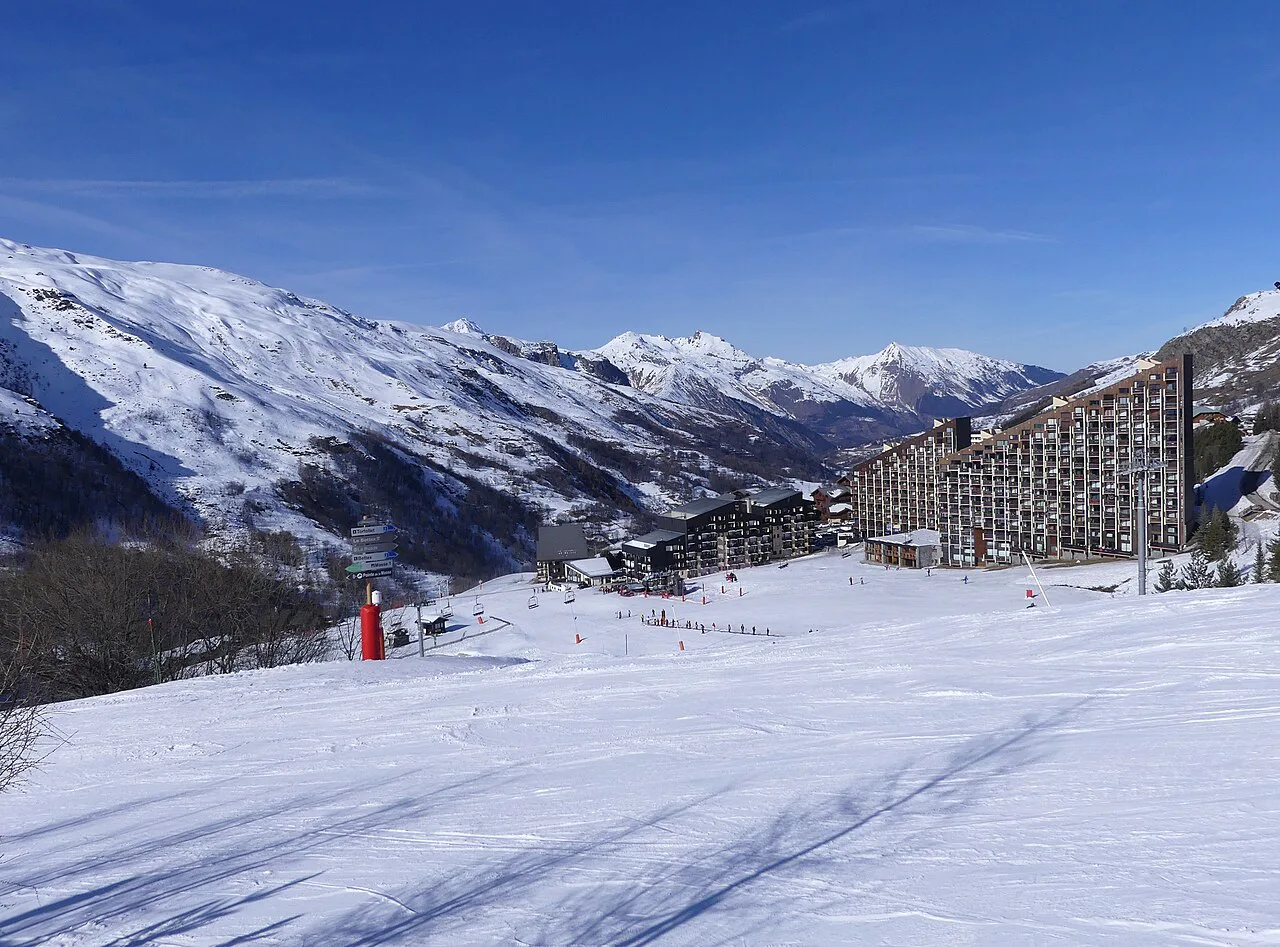
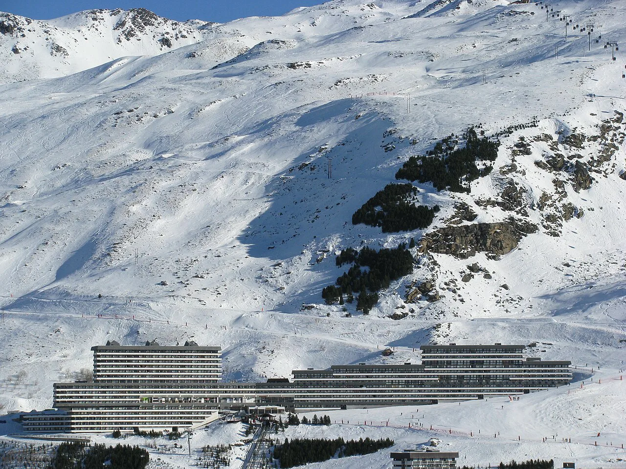
The villages of Les Menuires and Saint-Martin-de-Belleville are grouped as one local area, and the map reflects that: you are reading a set of hamlets and lift bases spread across a slope rather than a single compact core. Les Menuires itself climbs the mountainside in stages, with La Croisette as the central hub, Les Bruyères and Reberty further up or along the slope, and Saint-Martin lower down the valley.
Because the resort is spread out, the first thing to locate on the map is your own accommodation and the nearest lift base. A short walk to a different lift can change your whole morning more than a run choice does. Trace the route from your building to the nearest lift, then note the second-closest base as a fallback when queues build.
The village-side slopes are the working heart of a family ski day: lifts leave from the resort, runs return towards the buildings, and the map shows how those loops stack up. Study the return runs on the map before you set off, because ending the day at the wrong end of the village is a common and avoidable irritation.
Pointe de la Masse: The High Sector Above the Village
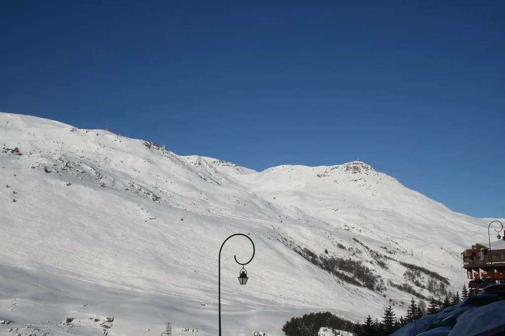
Pointe de la Masse is the high point above Les Menuires and the reason the local map rewards close reading. A lift from the village side climbs towards it, and the runs back into the valley fan out from that upper terrain. When you read the map, treat the Masse sector as a separate half-day rather than a detour, because the vertical gained takes time to ski back down.
The map shows how the descent options spread from the summit area back towards Les Menuires and Saint-Martin. Decide on the map which line you want, note the lower lift you need to return to the top, and check that combination is open before you commit. Because the lift is the bottleneck, the sector is best skied early rather than at the end of a tired afternoon.
The Masse lift appears in Les Menuires' own materials as a headline winter experience, which tells you it is a signature part of the resort rather than an obscure corner. The tourist office describes winter at the Pointe de la Masse among its promotions, so expect it to be popular when the upper terrain is open, and check current dates before you plan around it.
The Belleville Valley Sectors: Aspect and Day Planning
The valley runs roughly along the Doron des Belleville river, and the map shows runs on both sides of it. Aspect matters more than run colour here: a slope that faces the sun softens earlier and freezes harder overnight, while shaded terrain holds colder snow. If you know which way a sector faces, you can guess when it will be at its best on a given day.
A sensible pattern is to start on the higher, colder side of the valley and move to sunnier lower terrain as the day warms. Read the map in the evening and mark two or three sectors you want to cover; then use lift openings in the morning to decide the order. That way the map drives the plan rather than the queue at the nearest lift.
The map also shows the lower valley towards Saint-Martin, which is a quieter counterweight to the busy village-side slopes. If Les Menuires feels congested, the lower valley is where you look on the map for an alternative base and a different set of runs rather than a repeat of the same loop.
Connections into Les 3 Vallées: Val Thorens, Méribel and Courchevel
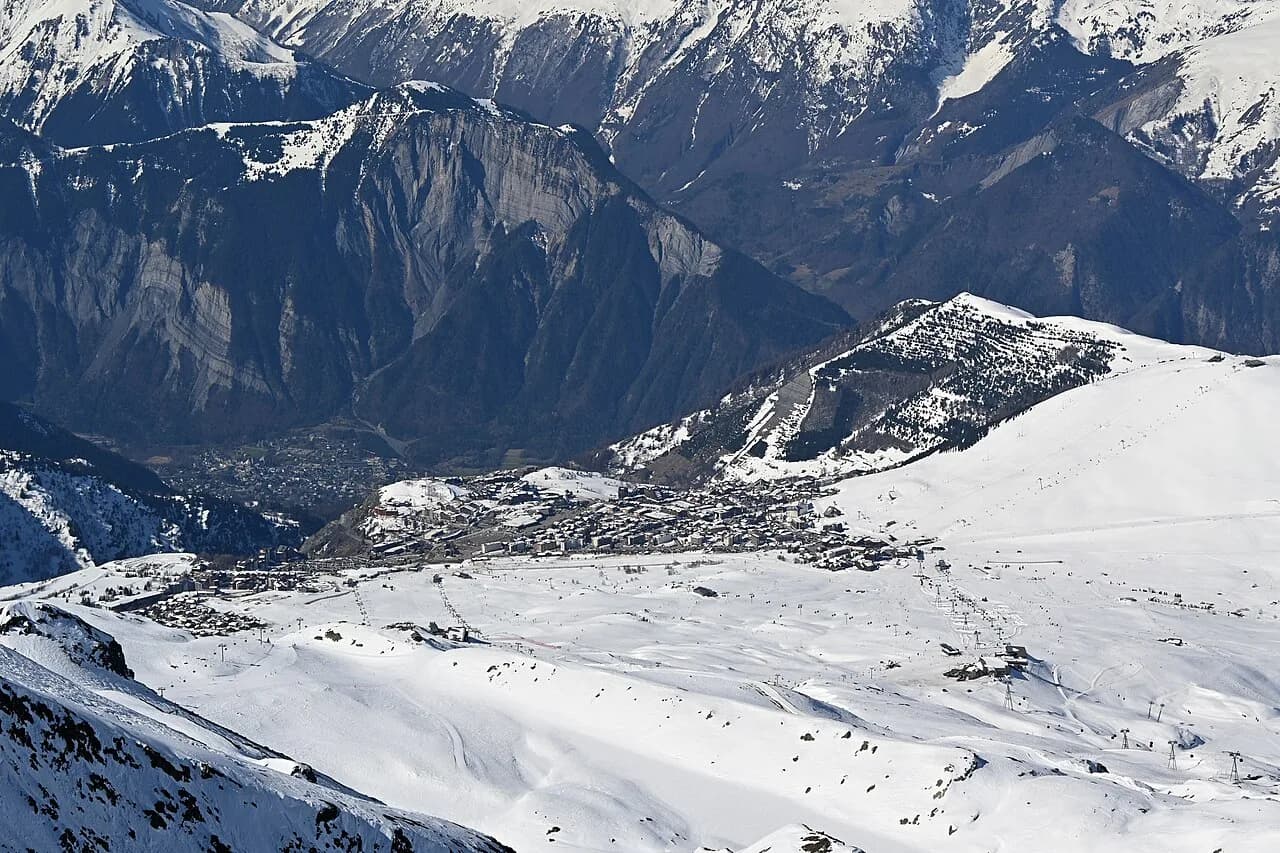
Les Menuires is one entry point into Les 3 Vallées, and the full-area map is the one that shows how the valley links onward to Val Thorens above and towards Méribel and Courchevel beyond. Buy or download that map if you intend to cross into other resorts; the local plan alone will not show you how the network joins up. Reading another resort's layout first helps you compare, so this Alpe d'Huez Ski Map is a useful reference point for how a sector-and-lift plan is set out elsewhere.
The pinch points are the linking lifts between valleys. On the map, follow each connection to its lift and note it as a checkpoint: if that lift is closed, the whole excursion changes. Build your day around those lifts, go through them early, and always know the return route before you leave your home valley behind.
A crossing day needs a different plan from a local day: more distance, fewer repeated runs, and an eye on the time it takes to get back. Use the map to build a loop rather than an out-and-back, and note the last connection that returns you towards Les Menuires. If the weather closes in, that route is your way home.
Reading the Map for Ability: Beginners to Strong Skiers
For beginners, the map's most important information is where the nursery terrain and gentle village-side slopes sit. Les Menuires holds the Famille Plus family label and the Flocon Vert sustainability label, and the resort's own guidance points beginners towards dedicated beginner pass products. Look for the zones where lifts serve short, mellow runs and use those as your base for the first days.
Intermediates should read the map for long valley runs that descend without interruption and lift combinations that let them repeat a favourite line efficiently. The map shows whether a run returns you to a fast lift or dumps you at the bottom of the village. Choose the combination that gives the most vertical per lift ride, and consult a detailed overview before committing.
Strong skiers will look to the Masse sector and the steeper terrain higher up, while snowboarders have their own concerns about flat traverses and lift types. If that describes you, read the dedicated guidance on snowboarding here before you plan a route.
Lift-by-Lift Planning: Trace Routes by Name
Piste numbers are useful labels but poor planning tools: they change, and a beginner may not know which blue is which. Lift names are more stable and tell you exactly where you are on the map. Trace a route as a sequence of lifts, with a run between each, so you always know your next move even if a particular run is closed.
A practical method is to sketch three lift sequences before you leave: one for a short morning, one for a full day on the village side, one for a crossing into another valley. Each sequence should start and finish near a base you can reach on foot or by shuttle. When conditions shift, swap sequences rather than improvising on the mountain.
The same discipline helps at the end of the day. Pick the lift that puts you closest to your accommodation, and note the last time it runs so you are not caught out. The resort's own app and web pages carry lift status, so you can confirm before you set off on the final descent.
Printed Versus Digital: Which Map to Use
On the ground, a printed map is still the easiest thing to pull from a pocket on a lift, and resort tourist offices and lift stations typically have them. The Les Menuires tourist office publishes practical information including maps and guides on its site, so you can confirm what is available before you travel. Collect one at the start of your trip and keep it in a jacket pocket.
A phone is better for live status: webcams, slope and lift opening pages, and the interactive version of the map. Download the resort app before you leave, and save the official snow and opening pages to your home screen so you find them quickly. In cold weather, battery drains fast, so treat the phone as a status check and the paper map as the planning tool.
Neither replaces judgement: if a sector looks busy or the light is flat, the map helps you choose a different one. Use it to keep options open rather than to lock in a fixed itinerary, and re-read it when the weather changes at lunchtime.
Cross-Checking the Map Against Real Conditions
Before you commit to a sector, confirm three things: that the linking lifts are running, that the runs you want are open, and that the snow is reasonable for the terrain. The resort's snow and opening pages and its webcams are the tools for this, and they are quicker than skiing to a lift and finding it shut. Check them alongside your coffee rather than on the mountain.
Opening status also matters for the map itself: a sector shown open on paper may be partly closed for grooming, wind or snow depth. When a key lift is down, the map shows you which neighbouring sector still works as a fallback. That is the moment the map earns its keep.
Practical Map Companions: Walking, Pedestrian Access and Shuttles
The piste map is not the only map you will need. The resort publishes walking and snowshoeing information, and the tourist office website is where those separate products and guides sit. The XC12 route around Lac des Echauds and back along the Doron des Belleville, for example, is a marked itinerary listed at 14.6 km with 600 m of climbing, and it is a winter walking or biking option rather than a piste run.
Non-skiers are not confined to the village. The ski-pass site sells pedestrian passes and beginner passes as separate products, so check the pedestrian pass if you want to ride lifts without skis and meet the group at a mountain restaurant. That is often the cheapest way to join a family day out without skiing every descent.
Because the resort spreads across the slope, the free shuttle service described in the tourist office's access and transport pages is useful for reaching a different lift base or returning from one. Plan your day with the shuttle in mind if you are staying at the far end of the village, and note the stops closest to your building. The tourist office publishes the details.
When to Go: Season Dates and How the Map Reads Differently
The resort has published winter season dates, so plan around those dates and confirm them on the official site as your trip approaches. Early season, the map is mostly a plan of what should open; late season, it is a guide to what is still holding snow. Either way, the layout of the valley does not change.
Early in the season, expect the higher Masse sector and the upper valley to be the most reliable, with lower runs coming into condition later. Late in the season, the pattern reverses: low, shaded valley runs can hold up while sunny lower slopes soften. Read the map with the season in mind and put the higher terrain first in December and the shadier terrain first in April.
Where to Buy Lift Passes and Check Products Before You Travel
Lift passes are sold through the resort's dedicated ski-pass site, which lists season passes, short-stay passes, family products, pedestrian passes, beginner passes and insurance options. Prices and products change, so check the current range there before you commit rather than relying on a printed map or last year's brochure. Buy online ahead of peak weeks to avoid ticket-office queues.
If you need equipment, the resort has hire shops around the main bases, and booking ahead is wise in school holidays. The same logic applies to lessons: popular group courses fill early, and booking before you arrive is easier than queuing on day one. Compare options before you travel and choose based on your base rather than the biggest shop.
Plan Your Visit
Treat the Les Menuires piste map as a planning tool first and a conditions report second. Read it by sector and lift name, sketch two or three routes before you leave, and keep the full-area map for days when you want to cross into another valley. With the village layout and the Masse sector clear in your head, the mountain becomes much easier to navigate.
Then use the resort's own tools for live status, snow and facilities, and the ski-pass site for current products and prices. With those pieces in place, the map does its real job: turning a big, linked ski area into a plan you can actually ski.
Frequently Asked Questions
Is Les Menuires part of the Three Valleys?
Yes. Les Menuires sits in the Vallée des Belleville within Les 3 Vallées, and the resort presents Les Menuires and Saint-Martin as a single local ski area. The full-area map is the one that shows how the valley links onward to Val Thorens, Méribel and Courchevel.
Where can I get a Les Menuires piste map?
Collect a printed map from the tourist office or lift stations when you arrive, and use the interactive version and app for live status. The tourist office website lists the practical guides and brochures available.
What is the highest point of the Les Menuires ski area?
Pointe de la Masse is the high sector above Les Menuires, reached by a lift from the village side, with runs fanning back into the valley. The sector is best treated as a half-day rather than a quick detour, because the vertical takes time to ski back down.
Is Les Menuires good for beginners?
Yes. The resort holds the Famille Plus family label, and the ski-pass site sells dedicated beginner pass products. On the map, look for the nursery terrain and gentle village-side slopes near your accommodation, and use them as your base for the first days.
How do I get from Les Menuires to Val Thorens on skis?
Follow the linking lifts on the full-area map rather than the local plan. Treat each connecting lift as a checkpoint, go through them early, and always know the return route before you leave the valley so you are not stranded when a lift closes.
When does the Les Menuires ski area open and close?
The resort has published a winter season from 5 December 2026 to 18 April 2027. Confirm those dates on the official site as your trip approaches, since early and late season conditions vary by sector.
Is there a separate Les Menuires walking map?
Yes. The resort publishes walking and snowshoeing information separately from the piste map, and the tourist office website lists those guides. Itineraries such as the XC12 route around Lac des Echauds are marked walking and biking options rather than piste runs.
How much is ski hire in Les Menuires?
Hire prices vary by shop, equipment level and season, and are not fixed in a single published figure. Compare quotes from shops near your base and book ahead for school holidays. Check current details with the hire shop you choose.
Sources
Useful notes for your next ski trip
Optional updates to our Alpine resort guides.
You might also like
Continue reading
More guides you'll find useful