Les Deux Alpes Ski Map: How to Read the Piste Map
Read the Les Deux Alpes piste map with confidence: valley-to-glacier sectors, the Jandri Express spine, lift types and how to plan a ski day by ability.
On this page
The Les Deux Alpes piste map looks unusual if you have learned to ski on circuit-style maps. It is not a loop of linked resorts but a single mountain rising from a village on a high col to a glacier at the top, so you read it bottom-to-top rather than left-to-right. Get that layout straight before you ride and the day plans itself more easily.
The map also sets expectations. The piste area is modest for a resort of this size, with long narrow runs that funnel skiers into the same corridors, so the plan matters more for sequencing your descent than for ticking off distance. Use the map to choose where to be at what hour, not to plot a grand tour.
What the Les Deux Alpes Ski Map Covers
The plan shows one long valley-to-glacier mountain rather than a linked multi-resort circuit. Neighbouring names such as Alpe d'Huez and La Grave appear in resort listings because they are close by, not because the skiing connects, so do not read them into your day. If you are weighing a second resort day, treat the neighbours separately, and compare their layouts on the Alpe d'Huez Ski Map before you commit.
What the map gives you is a clear vertical order: nursery slopes just above the village, cruising terrain in the middle, and the glacier at the summit. Named sectors and lift pods mark the transitions, which is why a quick glance before each ride tells you more than studying the whole sheet in the morning. Read it in slices as you ascend.
Because everything stacks on one axis, the map is best used to answer two questions: which sector suits your ability today, and which lift gets you there without joining a bottleneck. The following sections take those in turn.
Altitude Range and Piste Kilometres
The resort's skiing runs from about 1,650m in the valley to 3,570m at the top, across roughly 200km of piste, according to the Alpine Answers resort guide. Those two figures explain the map: a huge height span and a moderate spread of runs, so you gain vertical quickly rather than travelling far sideways. Expect to see the same trails more than once in a week.
Set against a mega-resort circuit, the area is compact and the pistes are long but narrow and fragmented. That shapes crowd behaviour: bottlenecks appear where trails funnel together, especially around key holiday dates, rather than spreading evenly across the map.
Why the Map Reads Bottom-to-Top
Treat the vertical axis as your itinerary. Start low for warm-up and lessons, climb through the mid-mountain pods as the day warms, and save the high glacier for the middle of the day when the upper lifts and temperatures are most forgiving. Then descend in stages rather than in one heroic run at the close.
That rhythm also handles the resort's main weakness: exposed upper lifts that suffer in wind and cold, and home runs that get busy and icy late. If the top shuts, the map shows you plenty of mid-mountain alternatives without needing to cross the valley.
Lower Sectors: Nursery Slopes and Beginner Zones
The lowest band of the map sits just above the village, and its south-facing nursery slopes are a genuine asset: sunny, gentle and easy to reach from most accommodation. Beginners should read the map for these lower zones first and only graduate upward once turns are reliable.
Book instruction for the early part of the trip rather than the end, because progression from the nursery area to the first mid-mountain cruising runs usually takes a few days. Group and private options are explained in the Les Deux Alpes ski lessons guide if you want to line up a school before you travel.
Mid-Mountain Sectors and Lift Pods
Between the village and the glacier, the map breaks the mountain into named pods. Bellecombe, La Fée, Les Crêtes and Grand Aiguille, Super Diable and Vallée Blanche all appear as labelled areas on the published plan, and each marks a cluster of runs served by its own lift.
This is where most intermediate skiing happens: cruising terrain that lets you link pod to pod without a major climb each time. Plan a loop of two or three pods per morning rather than trying to cover the map, and you will spend more time skiing and less time traversing.
Names also tell you what to expect. Sector labels such as Grand Aiguille and Les Crêtes indicate higher, rockier ground, while Bellecombe and La Fée read as gentler pods on the plan. Match the label to your group's weakest skier, not its strongest.
The Glacier Sector at the Top
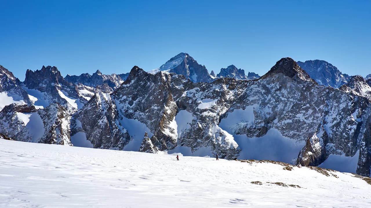
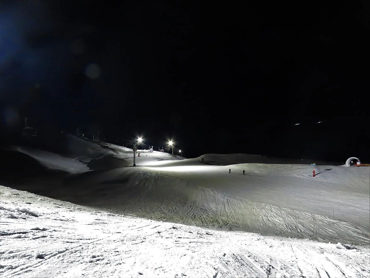
Le Glacier sits at the top of the map and is the reason the resort's snow reliability gets mentioned in the same breath as its nightlife. The high runs here are generally gentle and forgiving, suitable for confident intermediates, while the altitude keeps the terrain in condition.
Two practical points follow from the map. First, the glacier is exposed, so wind and cold can affect the uppermost lifts more than anything lower down; have a mid-mountain backup in mind. Second, the climb to the top takes real time, so go up once and make it count rather than shuttling up and down.
The 2,268m Vertical Descent on the Map
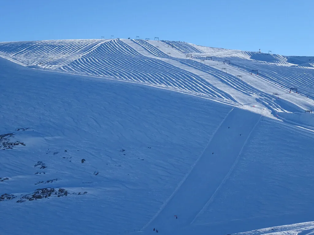
The resort's headline descent is a vertical drop of 2,268m, which the Alpine Answers guide describes as the biggest on-piste vertical in the world. On the map that reads as one long line from the high point down to the valley, and it is the clearest illustration of how tall this mountain is compared with how broad.
Understand what the map shows: a continuous fall line, not a single groomed motorway from the summit to the village. You will link sectors and lifts as you drop. Treat the figure as the mountain's vertical span and plan the descent in stages, which suits tired legs and mixed ability groups far better.
The Jandri Express: The Spine of the Day
The Jandri Express is the main artery up the mountain and appears prominently on the plan alongside the glacier and summit terrain. Use it as your default ascent early, then ski down through the mid-mountain pods and only return to it when you want height again.
Treating it as the spine rather than one line item solves the bottleneck problem. Its base station draws the biggest queue of the day in the first hour, so either ride it immediately at opening or start on a lower sector and move up later once the crush has passed.
If the top is affected by wind, the Jandri is typically the first thing to watch, because it serves the highest ground. The map helps you rehearse a plan B: pick the mid-mountain pod you will drop into if the upper mountain closes.
Reading Lift Types on the Map
Published plans for the resort key the lift network by type: funicular, cable car, gondola, chair and drag lift. Each type changes your day. Gondolas and cable cars move crowds quickly but mean queues and a fixed unload point; chairs are quicker for repeat laps; drags are fine for short hops but tiring for beginners.
Use the key when you plan laps. On the mid-mountain pods, chairlifts reward fast repeat runs; on the upper mountain, high-capacity lifts dictate the rhythm. Knowing the type before you commit avoids dragging a nervous beginner onto a surface lift first thing.
Home Runs and End-of-Day Planning
The Alpine Answers guide flags that the lower home runs get busy and icy late, with queues for the lift back down. Plan your last descent earlier than instinct suggests, and finish on a pod that pours you out near your accommodation rather than joining the main crush.
The map's long village makes this worth a minute's thought: the resort stretches along a high col, so where you stay determines which lower lift is your natural finish. Check the base station nearest your bed and work backwards through the map from there.
Which Sectors Suit Which Ability
Read the map against your group's level. Beginners live on the sunny nursery slopes above the village. Intermediates own the mid-mountain pods: Bellecombe, La Fée and the cruising runs around the main ascent. Strong skiers head for the steep blacks, off-piste terrain and the glacier, and the vertical descent is the day's big objective for anyone competent.
Mixed groups should split by pod rather than by run. Agree a meeting lift, let the confident half ride the Jandri for the upper mountain, and keep the less confident half in the gentler mid-mountain sectors where the map shows wide, continuous options.
Off-Piste and Terrain Park Markers
The resort has a strong reputation for off-piste terrain and an excellent terrain park, and the map marks the park so you can find it without hunting. Off-piste lines are less formally shown, so treat the map's edges and lift-accessed backcountry as a starting point rather than a guide.
What the map does not show is snowpack, avalanche risk or route conditions. If you intend to ride beyond the marked pistes, take a guide or check the local avalanche bulletin rather than reading intent into blank space.
Lift Closures, Weather and Replanning
Upper lifts are exposed to wind and extreme cold, and the resort's lift network is susceptible to closure in bad weather, according to the Alpine Answers guide. That is a planning habit, not a warning: check conditions before you leave and sketch a lower-mountain alternative while you are still at breakfast.
Webcam and lift-status pages are the fastest read on what is running. Bergfex lists individual resort webcams, including Jandri Express and Le Glacier, which lets you confirm how the upper mountain looks before committing to the climb.
Getting the Map: Paper and Live Status
You do not need a paper piste map in your pocket, but a phone version is worth loading. Piste-map pages from resort listings give you the labelled sectors and lift types, and the lift company publishes the authoritative map and live lift status. Check the official site for current lift status, season dates and pass prices before you book.
For pass types, points of sale and what is included, the Les Deux Alpes Ski Pass Guide sets out the options so you can decide before arriving. Lift-pass prices are not published here; compare current products on the official site when you book.
If you are pricing the trip overall, factor in equipment and instruction alongside the pass: the Is Les Deux Alpes Expensive? What a Ski Trip Really Costs guide breaks down where the money goes, and ski hire les deux alpes can be sorted weeks in advance to avoid village-centre queues.
Where to Stay Relative to the Map
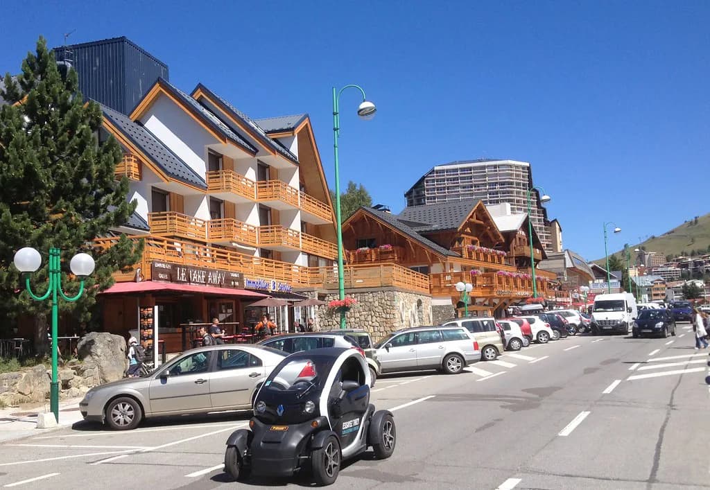
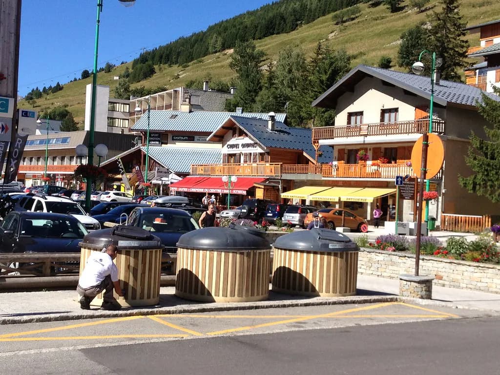
The village is long and spread along the col, with buildings ranging from old chalets to 1960s apartment blocks. There are very few true ski-in/ski-out properties, so map your accommodation against the nearest lift base before booking rather than expecting to ski to the door.
Staying near the Jandri Express base shortens the morning, but it is the busiest part of the resort. Staying further along the village trades a walk or a shuttle ride for quieter nights. The nightlife is lively and loud, so light sleepers should add distance from the main bar strip to their map reading.
Approximate drive times from the main airports are two hours from Grenoble, three hours from Chambéry and Lyon, and three hours forty-five minutes from Geneva, per the Alpine Answers guide. Confirm transfers with your operator, since road conditions on the day matter more than the map.
Plan Your Day From the Map
The Les Deux Alpes map rewards a simple routine: start low or ride the Jandri early, work the mid-mountain pods through the middle of the day, save the glacier for the warmest window, and finish before the home runs ice up. Read it as a vertical itinerary and the resort's modest piste area stops being a limitation.
Lock in the pieces that do not change: lessons early in the week, hire before you arrive, and a pass product that matches how much you will climb. Check the official site once for current prices, dates and lift status, then get on with planning the skiing.
Frequently Asked Questions
How do you read the Les Deux Alpes piste map?
Read it bottom-to-top. The plan shows a single mountain rising from a village on a high col to a glacier, so the lowest band is the nursery skiing, the middle bands are the cruising pods such as Bellecombe and La Fée, and Le Glacier sits at the top. Use the lift key to tell chairs from gondolas and drags, and plan in slices as you ascend rather than trying to cover the whole sheet.
What altitude does Les Deux Alpes ski area reach?
The skiing spans roughly 1,650m at the valley end to 3,570m at the summit, with around 200km of piste in total. That means a big vertical span but a moderate spread of runs, so you gain height quickly rather than travelling long distances sideways.
Where is the glacier on the Les Deux Alpes map?
Le Glacier is the topmost sector on the plan, above the mid-mountain pods and reached via the main ascent route. Its runs are generally gentle and its altitude keeps conditions reliable, but it is exposed, so check lift status and webcams before heading up.
Is the Jandri Express the main lift in Les Deux Alpes?
Yes, it is the main artery up the mountain and the fastest way to gain height. Ride it early or leave it until the first-hour queue has passed, and have a mid-mountain alternative ready in case wind affects the upper mountain.
Which Les Deux Alpes sectors suit beginners?
The sunny nursery slopes just above the village are the beginner zone and the easiest to reach from most accommodation. Progress to the gentler mid-mountain pods once turns are reliable, and book lessons for early in the trip so you have days left to use them.
How long is the vertical descent in Les Deux Alpes?
The resort's headline figure is a 2,268m vertical drop, described as the biggest on-piste descent of its kind. On the map it reads as the full height of the mountain rather than one continuous groomed run, so plan to link sectors and lifts as you come down.
Do you need a paper piste map in Les Deux Alpes?
Not strictly. A phone version is enough for most skiers, and the operator publishes the authoritative map and live lift status. Pull the map up over breakfast and note your chosen pods; the official site carries current lift status and pass prices.
Which airports serve Les Deux Alpes?
Grenoble is the closest of the main options at roughly two hours by road, with Chambéry and Lyon around three hours and Geneva around three hours forty-five minutes. Those are approximate drive times, so confirm your transfer arrangements with your operator.
Sources
Useful notes for your next ski trip
Optional updates to our Alpine resort guides.
You might also like
Continue reading
More guides you'll find useful