Chamrousse Piste Map: Reading the Ski Area Before You Book
Use the Chamrousse piste map to work out the ski sectors, lift links and beginner zones before you book your trip to this Grenoble-area resort.
On this page
Chamrousse sits in the Belledonne range above Grenoble, close enough for a day trip but laid out well enough for a short break. The piste map is the quickest way to understand how the resort works before you commit to accommodation or a pass. Read it as a set of decisions: which base, which sector and which kind of skiing you want.
This guide walks through what the official map covers, how the two resort bases differ and where the beginner, intermediate and terrain-park zones sit. It also separates the alpine network from the cross-country trails, which have their own map and season.
What the Chamrousse Piste Map Actually Covers
The official alpine map covers the lift-served skiing of the Alpine Park, including the terrain park, the beginner zone and the sunset and night-skiing areas the resort flags. The Nordic Park cross-country trails are a separate network with their own map and dates, so do not expect one continuous lift system across both.
Start with Chamrousse's own page for the alpine domain, which links to the piste plan, prices and lift-opening information in one place. A large-format station plan is also published as a PDF for printing before you travel.
Third-party collections such as Piste Maps index Chamrousse alongside other French resorts if you want to compare layouts at a glance. Treat those as convenience copies and use the resort's own version for anything you rely on.
Where Chamrousse Sits and How the Two Bases Are Laid Out
The resort spreads across two main bases, Recoin at 1650 metres and Roche Béranger at 1750 metres. Each has its own tourist office and its own access to the lift network, so the base you choose shapes your morning routine more than any single run.
On the map, look for how the two bases connect by lift and piste rather than by road. Chamrousse is compact, but the map makes clear that some accommodation sits closer to one side of the network. If you want to ski from your door, match your booking to the lifts nearest your base instead of the resort centre in general.
The station plan PDF shows the road layout, parking and the distance markers to Grenoble, Uriage and the surrounding valleys. That is useful for drivers deciding whether to stay in the resort or commute up from the city.
The Alpine Ski Area in Numbers
Chamrousse publishes its piste plan and lift-opening pages, and those are the places to check current piste counts, altitude range and lift numbers. Figures change with investment and snow conditions, so the map page is a better reference than a remembered statistic.
What the map does show reliably is structure: the alpine network is a single lift-linked area rather than a chain of separate domains reached by bus. That makes it easy to plan a day without worrying about shuttle connections between sectors.
Chamrousse is not part of a giant linked domain like the Trois Vallées or Paradiski. If you want hundreds of kilometres in one pass, compare elsewhere; if you want a compact area with a short transfer from Grenoble, the map shows exactly that. For a sense of how another French resort lays out its sectors and lifts, the Alpe d'Huez Ski Map works as a useful comparison.
Reading the Map by Ability
Beginners should look for the dedicated learning zone and the green and blue runs that return to base without a steep final pitch. The map marks the beginner area clearly, and the Montagne de Téo children's zone is the resort's own label for its family and kids' skiing.
Intermediates get the most mileage by following the blue and red runs that link the two bases and the mid-mountain sectors. Plan a loop that uses the lifts in sequence rather than criss-crossing the map, and you will spend more time skiing than queueing.
Book ski lessons early if you want a place in group classes during school holidays. The resort's ski school and lesson options are covered in our guide to Chamrousse ski lessons, which explains how the meeting points relate to the map.
Steeper Sectors and Linking Back to Base
Above the tree line the map shows the steeper red and black runs and the lifts that serve them. These sectors are where confident skiers spend their day, but they also demand a plan for getting back to your base before lifts close.
Check the return route on the map before your last run of the day. Some descents funnel into a single piste or a long traverse, and a late start can leave you skiing further than you intended. Note the lift closing times posted at the bottom stations, which are the reliable source on the day.
If you are skiing with a mixed-ability group, agree a meeting point at a lift base that both the easy and hard sectors reach. That avoids splits and keeps the day moving.
Sunset Park, Terrain Parks and the Avlanche-Training Area
The map uses separate symbols for the snowpark and the marked avalanche-training area. These are not ordinary pistes: the snowpark is for freestyle features and the training zone is for rescue practice, so plan your route around them rather than through them.
Riders heading to the park should read the layout as a set of features rather than a run. Our Chamrousse snowboarding guide covers how the Alpine Park suits different levels and what to expect from the terrain.
The avalanche-training area is marked on the map for a reason; keep clear unless you are taking part. For ordinary piste skiing, the map's groomed runs are the lines to follow.
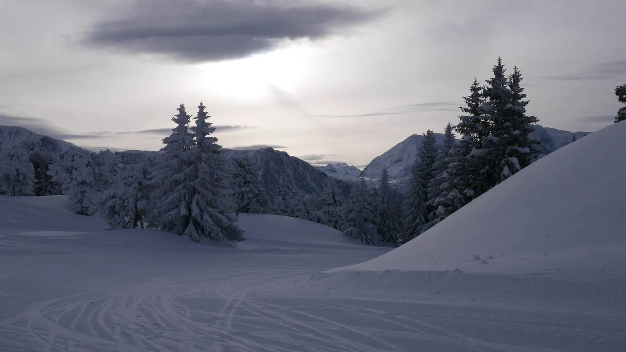
Night Skiing and Late-Afternoon Sessions
Chamrousse flags night skiing and sunset sessions on specific lifts and runs, and the map shows which ones. This is a genuine differentiator for a short break: you can ski into the evening rather than stopping at the usual close.
Check the resort's night-skiing page for which lifts run and when before you build an evening around it. Conditions and scheduling vary through the season, and the alpine domain's own pages are the place to confirm.
Evening sessions suit confident intermediates more than first-timers. If you are new to skiing, book a lesson in daylight first and treat night skiing as a bonus later in the week.
Nordic Park Versus Alpine Park
The cross-country trails sit on a separate map with their own season and its own trail grading. Do not expect to ski from an alpine lift onto a Nordic trail or vice versa; they are distinct networks with different equipment and passes.
The resort publishes a provisional Nordic season running from 5 December 2026 to 29 March 2027, with the alpine window planned from 5 December 2026 to 11 April 2027. Both are snow-dependent, so confirm the current dates on the official site before booking.
Season Dates and What the Map Pages Tell You
The Chamrousse tourism office page states a planned alpine season from 5 December 2026 to 11 April 2027, subject to snow. Treat that as the working window for planning and check closer to your travel dates.
Early December and April are the shoulder weeks: the map shows plenty of terrain, but not all of it may be open. Late January and February give you the best chance of the whole network being skiable, at the cost of busier slopes.
If your dates are fixed, look at the lift-opening page rather than the full piste plan when you are a week or two out. That tells you what is actually running.
Matching Your Lift Pass to the Map
Pass products and prices are published on the resort's ski-pass pages, and the map shows which lifts each one covers. Before buying, work out which sectors you will realistically ski and pick the product that matches rather than the biggest option.
Buy online ahead of time where the resort offers it; that usually means less time at the ticket window on arrival day. Check the current prices and any restrictions on the official site before you commit.
If you plan to ski only a couple of afternoons, ask about half-day or late-session products rather than a full pass. The map's night-skiing zone is a good reason to consider an evening option.
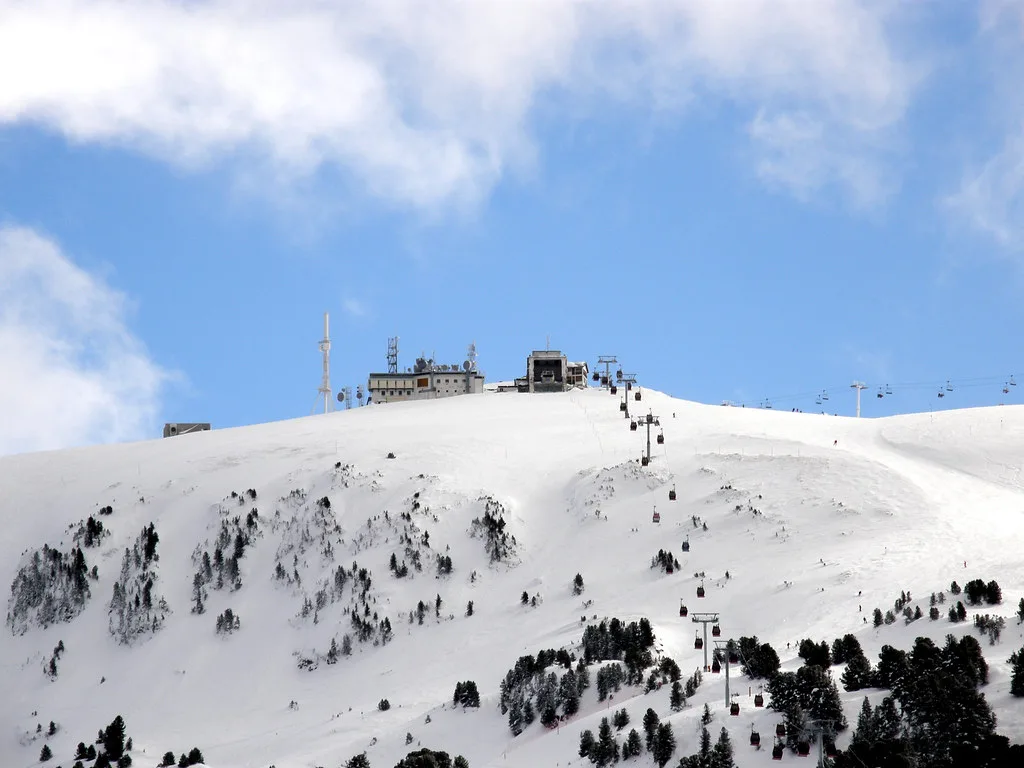
Cross-Checking the Paper Map Against Live Status
A printed map shows the intended network; the live piste and lift status page shows what is open today. Use both: plan from the map, then confirm before you leave your accommodation.
Wind and snow affect upper lifts first, so have a lower-altitude plan ready for those days. The beginner zones and the runs near the bases are usually the last to close.
Pick up a paper map at the tourist office or lift base on arrival; it is easier to read in gloves than a phone. Then use the live page for updates through the day.
Getting There and Choosing Your Base
Chamrousse is roughly 40 minutes from Grenoble by road, with Lyon and the airports further out. The official access page lists bus and car routes, and the station plan PDF shows the local road layout and distances.
If you are arriving by public transport, you will likely base yourself near the lifts that serve the sector you want most. Our Chamrousse skiing guide explains the wider resort and how the bases compare.
Drivers have more flexibility and can choose either base, but parking near the lifts fills on peak days. Arriving early or staying slopeside solves that.
Ski School, Hire and Printed Maps on Arrival
Ski schools and hire shops cluster around the bases, and the map shows where lessons meet and where to collect equipment. Booking lessons and hire before you travel saves time on the first morning.
ESF Chamrousse is the best-known ski school in the resort, but there are other options. Check what level group suits you and confirm meeting points against the map so you are not late on day one.
Hire shops near the lifts let you swap gear if something does not fit. Pick a shop close to where you will ski most days rather than near your accommodation if the two differ.
Common Map-Reading Mistakes
The most common error is assuming Chamrousse links into a bigger domain. It does not: the map shows a self-contained alpine area, and the Nordic trails are separate again. Plan accordingly.
Another mistake is misjudging return runs at the end of the day. Check the descent back to your base before your last lift, and leave margin for a slow final run.
Finally, do not read the map as a promise that every run is open. Snow, wind and maintenance change the picture daily, so the live status page is the final word.
Plan Your Visit
Read the Chamrousse piste map as a planning tool: it tells you which base to book, which sectors suit your ability and where the evening skiing sits. Use the official map and status pages for the figures that change, and treat the printed plan as your guide to the layout.
For the wider resort picture, start with our Chamrousse skiing guide, then match your lessons, hire and pass to the terrain you actually plan to ski.
Frequently Asked Questions
Where can I get the Chamrousse piste map as a PDF?
The resort publishes a winter station plan as a PDF on its official site, and the alpine domain page links to the piste plan. Print it before you travel or collect a paper copy at the tourist office on arrival.
How many pistes does Chamrousse have?
The resort publishes piste counts and the piste plan on its official alpine domain pages; check those for current figures, as counts change with investment and snow conditions.
Is Chamrousse good for beginners?
Yes. The map marks a dedicated beginner zone and the Montagne de Téo children's area, with green and blue runs returning to the bases. It is a compact, family-friendly layout rather than a vast linked domain.
What is the highest point of the Chamrousse ski area?
The resort's map and domain pages give the altitude range and the top of the lift-served area; the official piste plan has the current figure.
Does Chamrousse have night skiing?
Chamrousse flags night skiing and sunset sessions on specific lifts and runs, and the map shows which ones. Check the resort's night-skiing page for the current schedule before planning an evening.
When does the Chamrousse ski season start and finish?
The resort plans an alpine season from 5 December 2026 to 11 April 2027, with the Nordic season running to 29 March 2027. Both are provisional and snow-dependent, so confirm before booking.
How far is Chamrousse from Grenoble?
Chamrousse is about 40 minutes from Grenoble by road, making it a realistic day trip or short break. The official access page lists bus and car routes.
Which Chamrousse base should I stay in for easy lift access?
Recoin at 1650 and Roche Béranger at 1750 each have their own lift access. Choose the base nearest the sector you plan to ski most, and check the station plan for parking and distances.
Sources
Useful notes for your next ski trip
Optional updates to our Alpine resort guides.
You might also like
Continue reading
More guides you'll find useful