Zermatt Ski Map: Sectors, Connections and Live Status
Read the Zermatt ski map with confidence: the four main sectors, the Cervinia link, lift connections and the live tools showing what is open.
On this page
A Zermatt ski map is not one continuous piste loop but a collection of separate sectors, and reading it as a single circuit is the fastest way to misplan a day. The official Matterhorn Ski Paradise ski slope map and panorama map show the terrain as distinct zones with their own lift access, so the practical first step is deciding which sector you are skiing before you study individual runs. This guide explains the four-area framing, how sector-to-sector links work, where the Cervinia connection sits and which live tools tell you what is open on the day.
The distinction between the static map and live status matters more at Zermatt than at many resorts because the ski area spans a large altitude range and several access points. A printed or PDF map shows the layout that exists, while the live tools from Zermatt Bergbahnen show which lifts, pistes and connections are actually running. Keeping those two ideas separate stops you from committing to a route that looks straightforward on paper but depends on a lift that is closed for wind or maintenance.
Start With the Sector, Not the Whole Map
Zermatt's ski terrain is usually presented as four main areas: Sunnegga-Rothorn, Gornergrat, Klein Matterhorn and Schwarzsee. That four-area framing is a practical way to organise the resort rather than a precise official count, and it is the most useful mental model for reading the map. Decide which sector you want before you look at individual pistes, because the resort does not function as a single continuous loop.
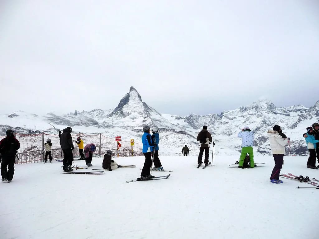
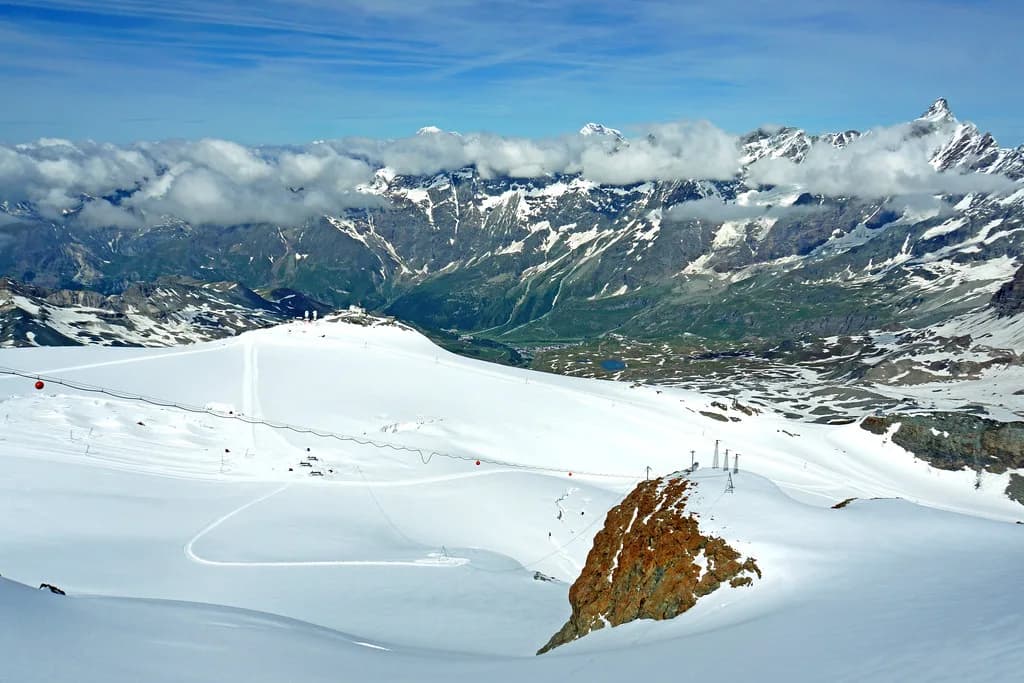
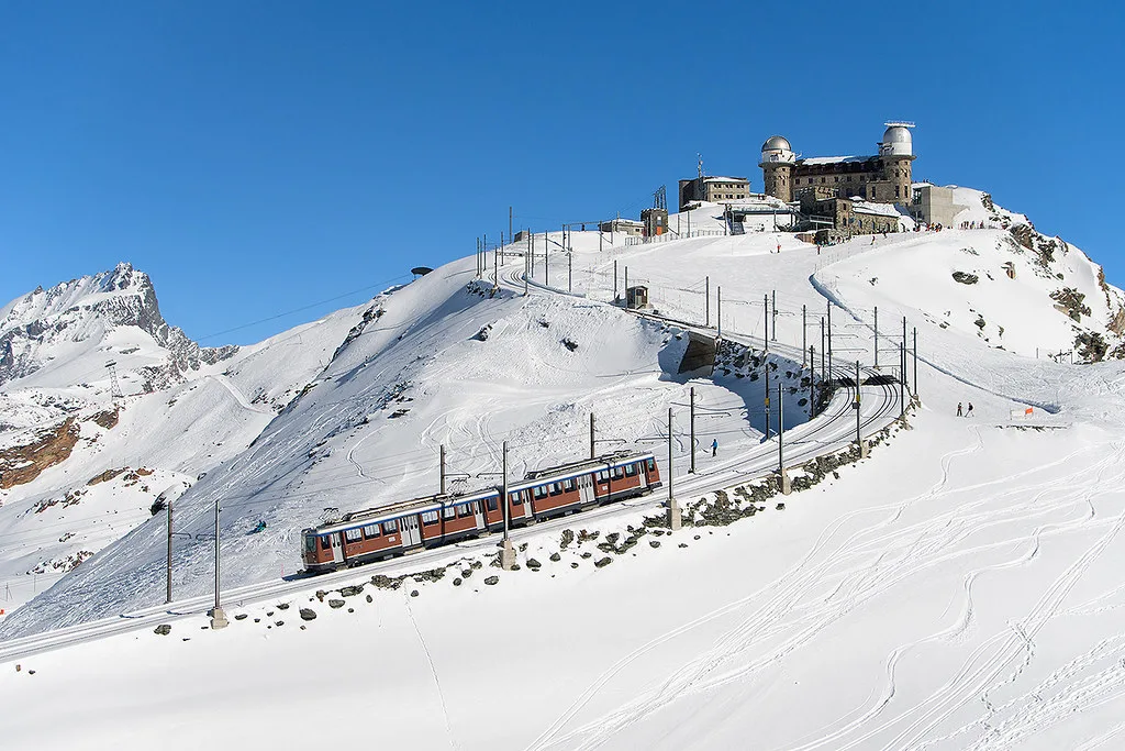
The four sectors serve different purposes. Sunnegga-Rothorn is generally the gentler, more sheltered side with wider slopes and beginner provision; Gornergrat offers long views across to the Matterhorn and Monte Rosa; the Klein Matterhorn sector is the high-altitude glacier terrain; and Schwarzsee sits between the village and the higher lifts. If you want to see how another multi-sector resort frames its terrain this way, the Andermatt Piste Map guide is a useful comparison. The official snow sports page groups these under skiing, snowboarding and the map tools that show open slopes, lifts and connections in the Matterhorn Ski Paradise.
Reading Lifts, Pistes and Difficulty on the Map
The map distinguishes between lifts, pistes and marked routes, and the colour coding follows the European convention of blue, red and black. The important detail is that a route which looks continuous on paper may require a lift in the middle, especially when moving between sectors. Before committing to a long traverse, check whether the link depends on a specific lift rather than a single connected run.
The resort's own description of its terrain is broad rather than prescriptive, listing skiing and snowboarding as the main activities and pointing to the ski slope map and panorama map for a complete overview of open slopes, lifts and connections. Treat piste counts and gradient claims from third-party guides like WeSki as indicative only; the official Zermatt map and live status are the authoritative sources for what is actually open. If a route matters to your day, check the lift and the piste separately.
The Cervinia Connection and Pass Boundaries
The Matterhorn Ski Paradise extends across the Swiss-Italian border to Cervinia, and that cross-border skiing is not automatically included in every Zermatt pass. On the map the link appears as a connected corridor, but access depends on which pass you hold, so the map alone cannot tell you whether you can use it. If crossing into Italy is part of your plan, confirm pass coverage before you build a day around the link.
The Italian side is operated separately, which is why the pass question is not just a formality. A Zermatt-area pass and an international pass are different products with different coverage, and the boundary between them sits on the mountain rather than at a ticket window. Check the pass terms when you book and again on the map before you rely on the link, and ask at the lift station if the boundary is unclear.
Using Live Status Tools Alongside the Map
A static map shows what exists; the official Ski Slope Map, interactive panorama map, snow report and webcams show what is open on a given day. Lifts, links and pistes can close for weather, maintenance or snow conditions, so the live tools are the map's operational companion rather than a substitute for it. Read them together: the map for layout, the live tools for what is actually running this morning.
The official snow sports page provides a current snow report and live webcams alongside the maps, which is the combination you need before committing to a long route. A scheduled winter season is conditional, not a promise that every lift, link or piste will open, and high-altitude terrain is more exposed to wind closures than the lower sectors. Check the live status on the morning rather than the night before.
Planning a First Morning From the Map
Where you start depends on your ability and the sector you want. Beginners generally cluster in the gentler terrain near Sunnegga, where the Leisee area has been described as a sunny, sheltered spot with magic carpet lifts, while stronger skiers head for the higher sectors and the glacier terrain. Pick a base sector first, then use the live tools to check that the lifts you need are running before you cross the resort.
A practical sequence is to choose your sector, identify the lift that gets you there, confirm it is open, and only then plan the return. The car-free village means you will often start from a funicular or station rather than a car park, so the map's lift access points matter as much as the pistes themselves. Keep the planning loose enough that a closure does not strand you in a sector with no easy way back.
Plan Your Visit
Reading the Zermatt ski map well comes down to three habits: think in sectors rather than one continuous loop, treat sector-to-sector links as lift-dependent, and check the live status tools before you commit. The four-area framing of Sunnegga-Rothorn, Gornergrat, Klein Matterhorn and Schwarzsee gives you a workable mental model even if the exact sector count is presented inconsistently elsewhere. Use the official Zermatt map for layout and check current lift and piste status with the Zermatt Bergbahnen before you set out.
Before you travel, confirm two things that the map cannot answer: whether your chosen pass covers the Cervinia link, and how closures are communicated on the day. Those are booking checks rather than map-reading skills, and they are the ones most likely to change your plan. Everything else can be adjusted on the mountain once you know your sector and your route back.
Frequently Asked Questions
What do the sectors on the Zermatt ski map mean?
The map groups the terrain into four main areas: Sunnegga-Rothorn, Gornergrat, Klein Matterhorn and Schwarzsee. Treat that as a practical framing rather than a precise official count. Each sector has its own lift access and character, so the map is easier to read once you decide which sector you are skiing rather than trying to trace one continuous loop.
Does the Zermatt ski map cover Cervinia in Italy?
The Matterhorn Ski Paradise extends across the border to Cervinia, and the map shows the link as a connected corridor. However, cross-border access depends on which pass you hold, so the map alone cannot tell you whether you can use it. Confirm your pass coverage before you plan a day around the link.
Is the Zermatt ski map the same as live lift status?
No. The map shows what exists, while the official Ski Slope Map, interactive panorama map, snow report and webcams show what is open on a given day. Lifts, links and pistes can close for weather, maintenance or snow conditions, so use the live tools alongside the map rather than instead of it.
How do you read the colour coding on the Zermatt piste map?
The colour coding follows the European convention of blue, red and black, from easier to more difficult. The map also distinguishes lifts from pistes and marked routes, which matters because a route that looks continuous may require a lift in the middle. Check the connection before committing to a long traverse.
Sources
Useful notes for your next ski trip
Optional updates to our Alpine resort guides.
You might also like
Continue reading
More guides you'll find useful